
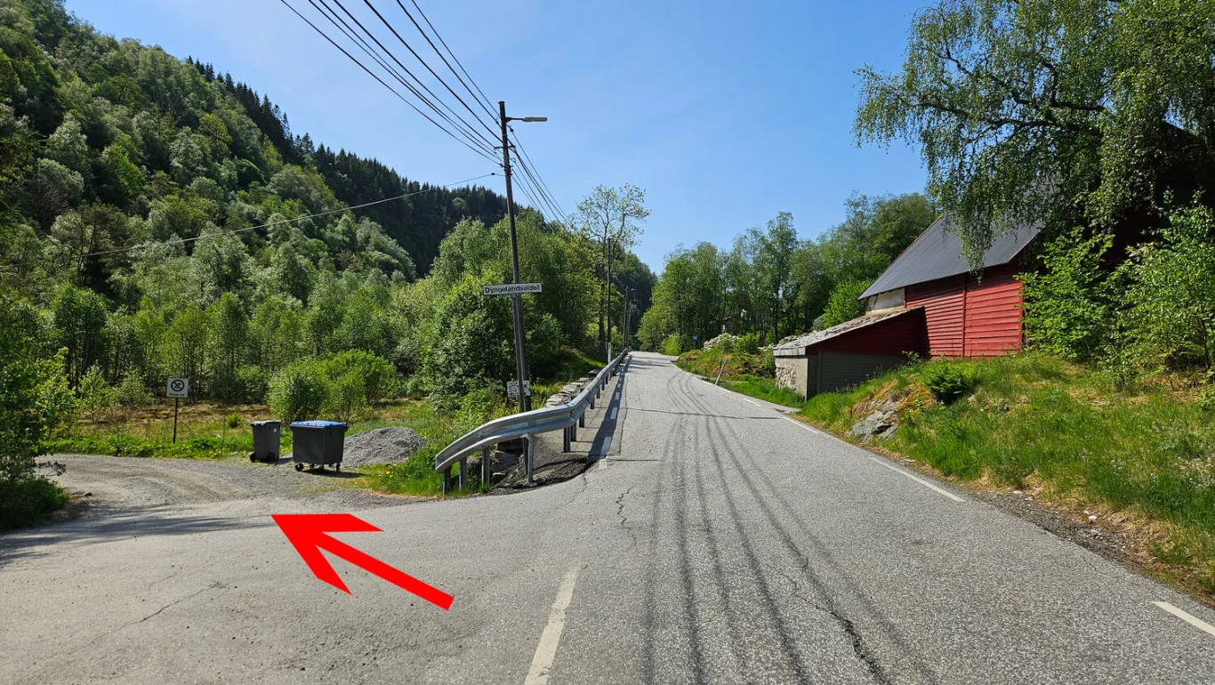
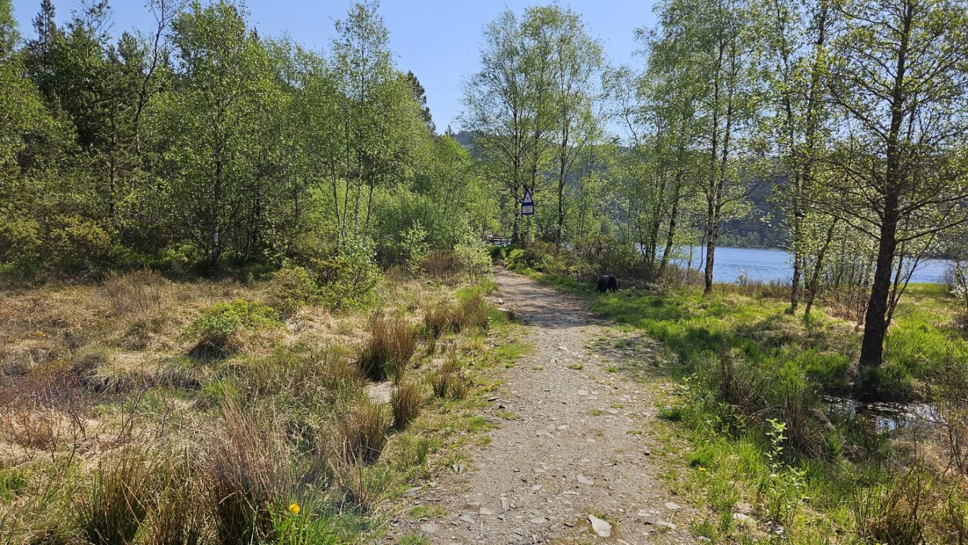
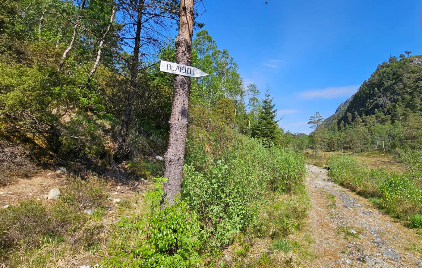
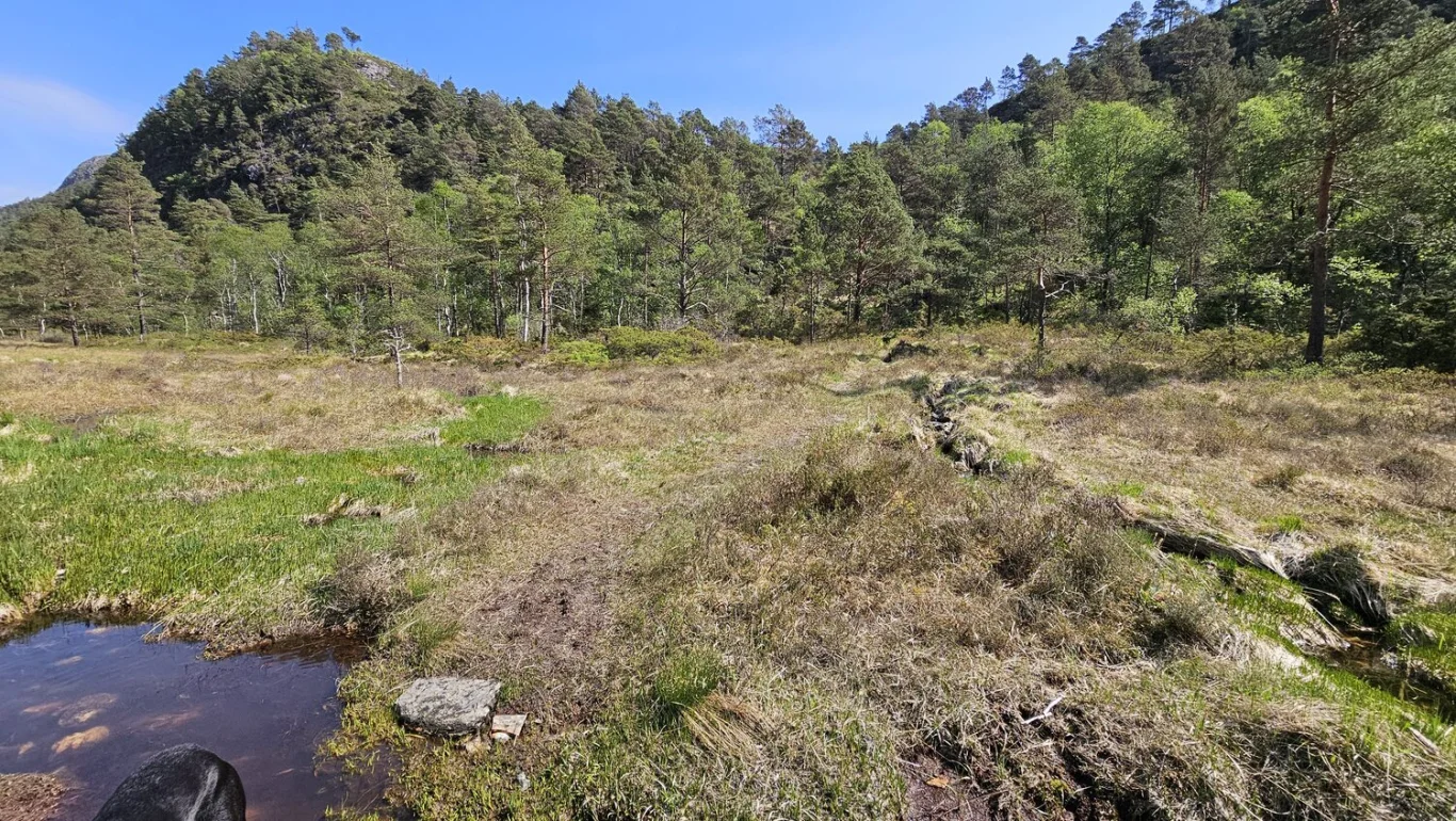
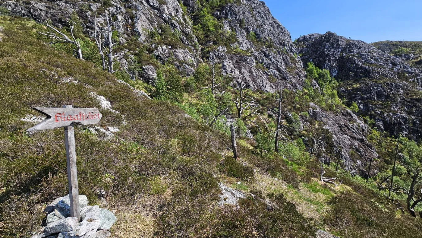
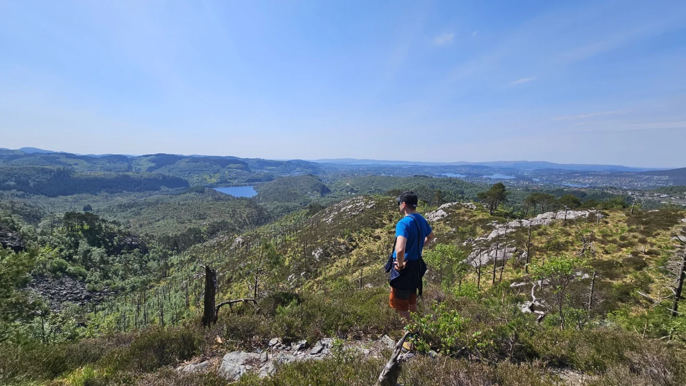
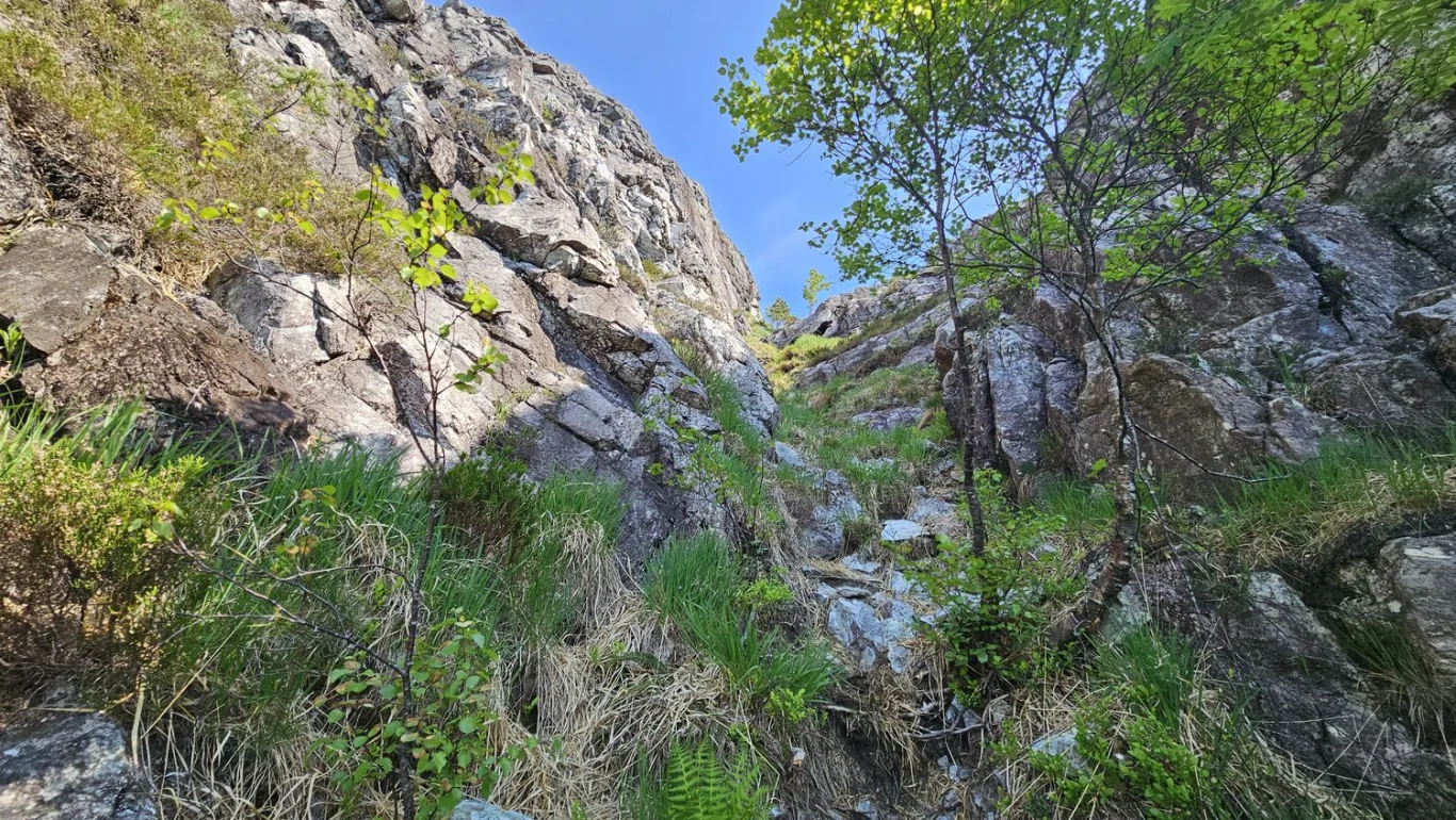
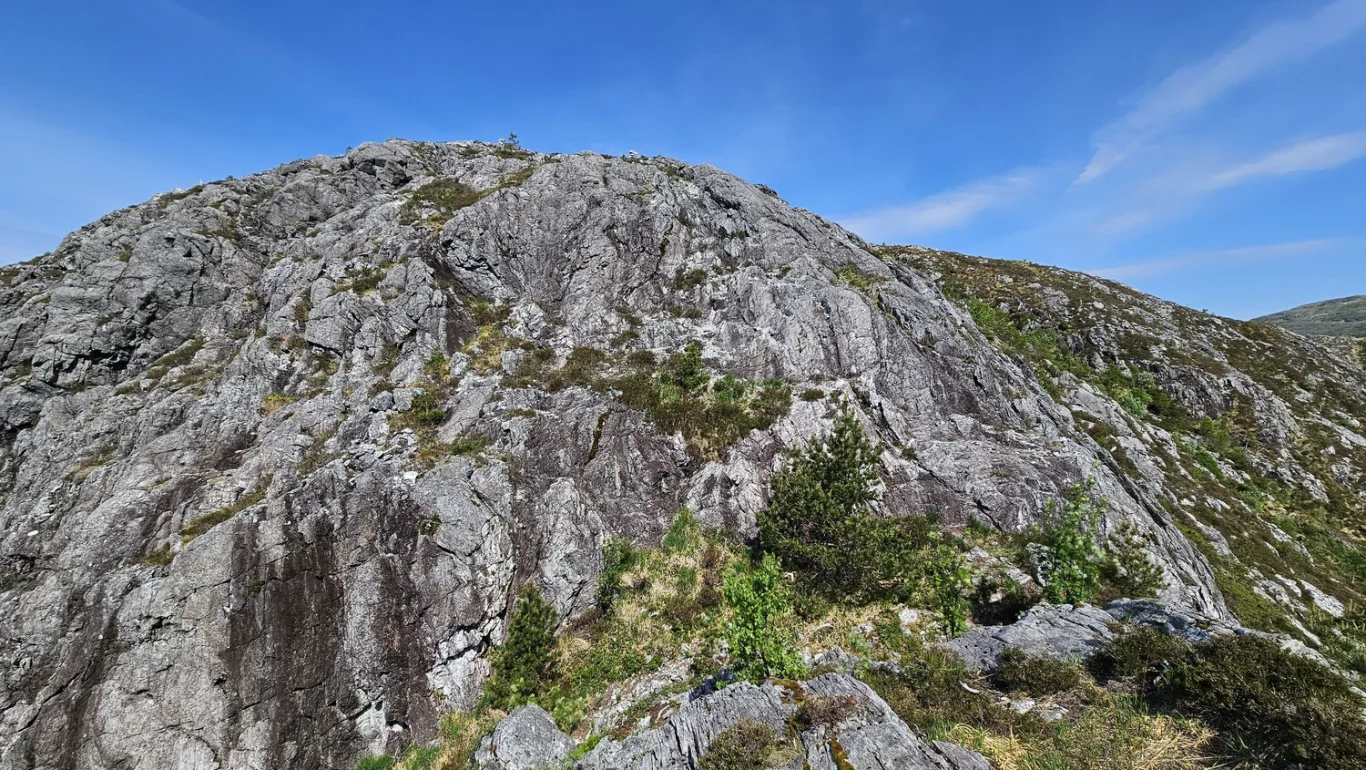
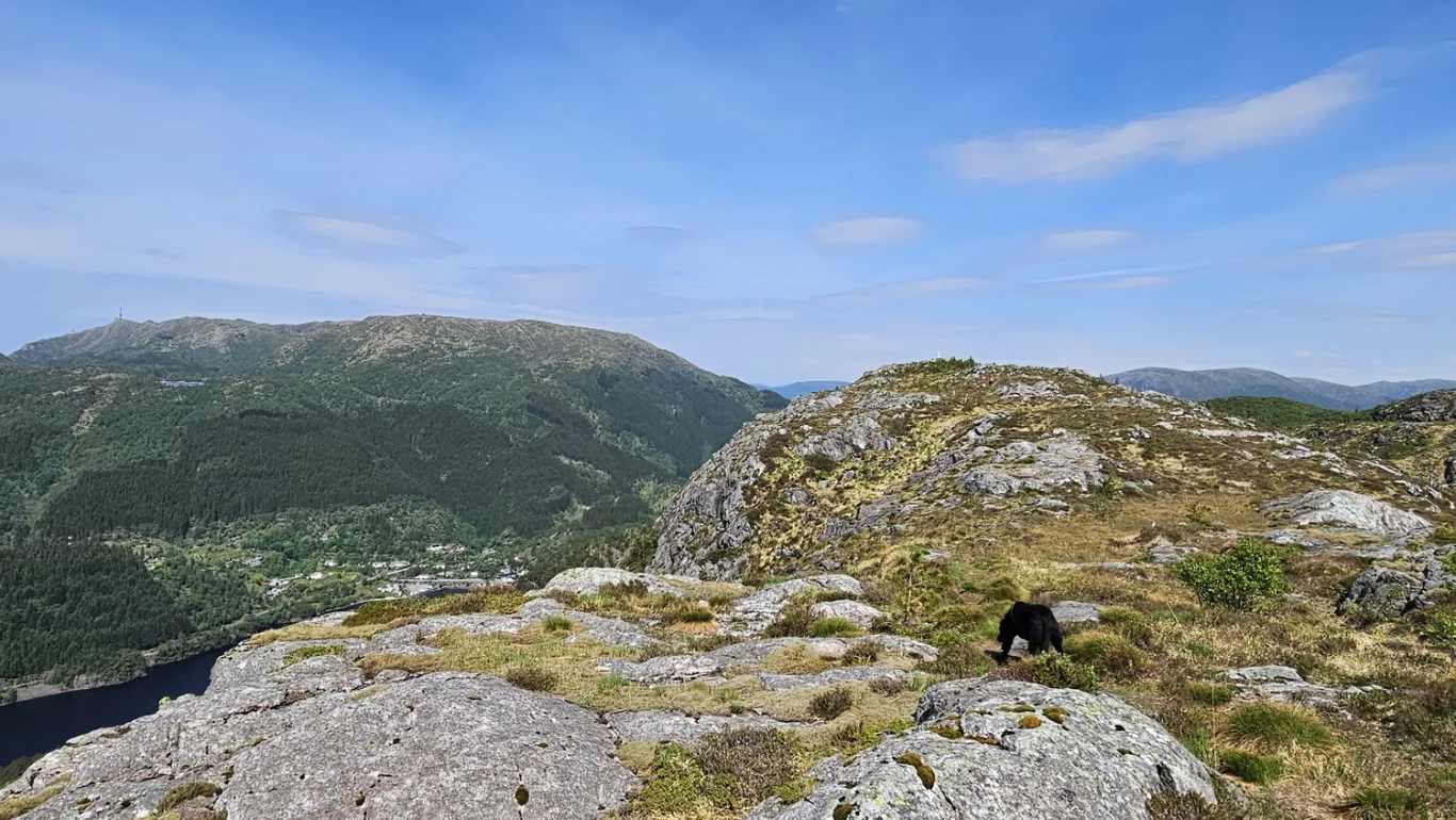
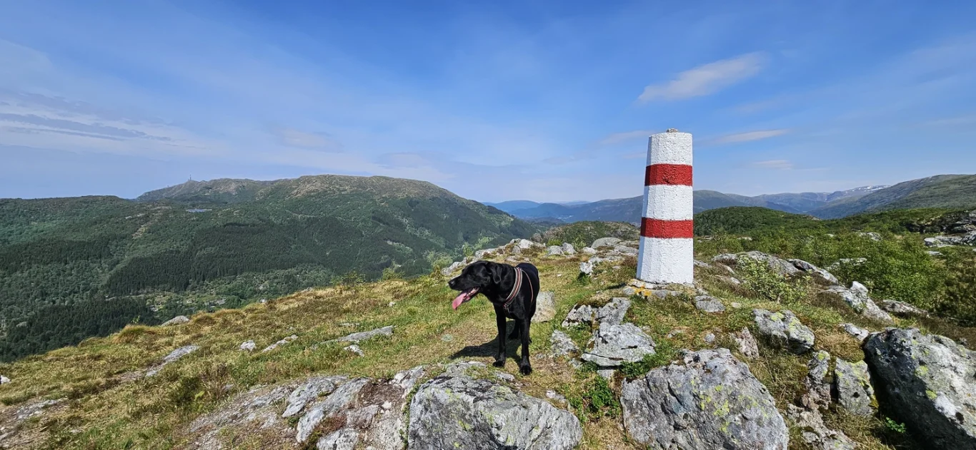
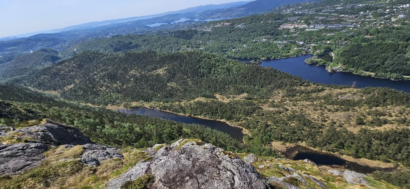
Steep route to Flåfjellet (418 m) in Fana

Bratt rute til Flåfjellet (418 moh) i Fana
Photo: Admin

The GPX Track is for guidance only and may contain errors. Use at your own risk.
– always check maps, weather and conditions before your trip.

Access

Approximately 18 min (14.2 km) drive from Bergen.

Parking

Parking in a parking space along Dyngelandsvegen.

Description

This is a fun mountain hike to a less visited mountain peak in Fana.

It is a nice trail all the way with a steady climb and some light scree sections towards the end.

The hike starts at Dyngeland. Go inland along Dyngelandseidet road all the way to the end and through the old barrier. Here it becomes a gravel road. The road goes down towards Myrdalsvannet, then turns left and continues north. Go right at the Next crossroads past a group of old garden furniture. Then you will come to a sign marked 'Blåfjellet'. It is uncertain which mountain they mean here, but it is assumed to be Flåfjellet. Just past the sign a path starts on the right. Follow it over the bog and up the slope towards the high-voltage pylons. The path is clear and easy to follow, and goes criss-crossing up the slope. Past the pylons the path is still good, and you will come up to Barkehushaugane. From here the vegetation is less, and the path is marked with small cairns.

You will come to a new sign marked 'Blåfjellet'. Shortly after, there is a slight climb before you reach the ridge. The last part is on flat mountain terrain to Flåfjellet.

Here you get a great view of Fana, Livarden, Totlandsfjellet, Ulriken, Løvstakken and south towards Os and Møsnuken.

Return the same way.

Information

Length: Approximately 7 km round trip
Time: Approximately 2-3 hours round trip
Elevation gain: 353 meters
Season: March - Nov
Grading: Medium

Processing elevation data.. .

You use GPX files that you download from our server 100% at your own risk.

Accommodation nearby

Hiking nearby