
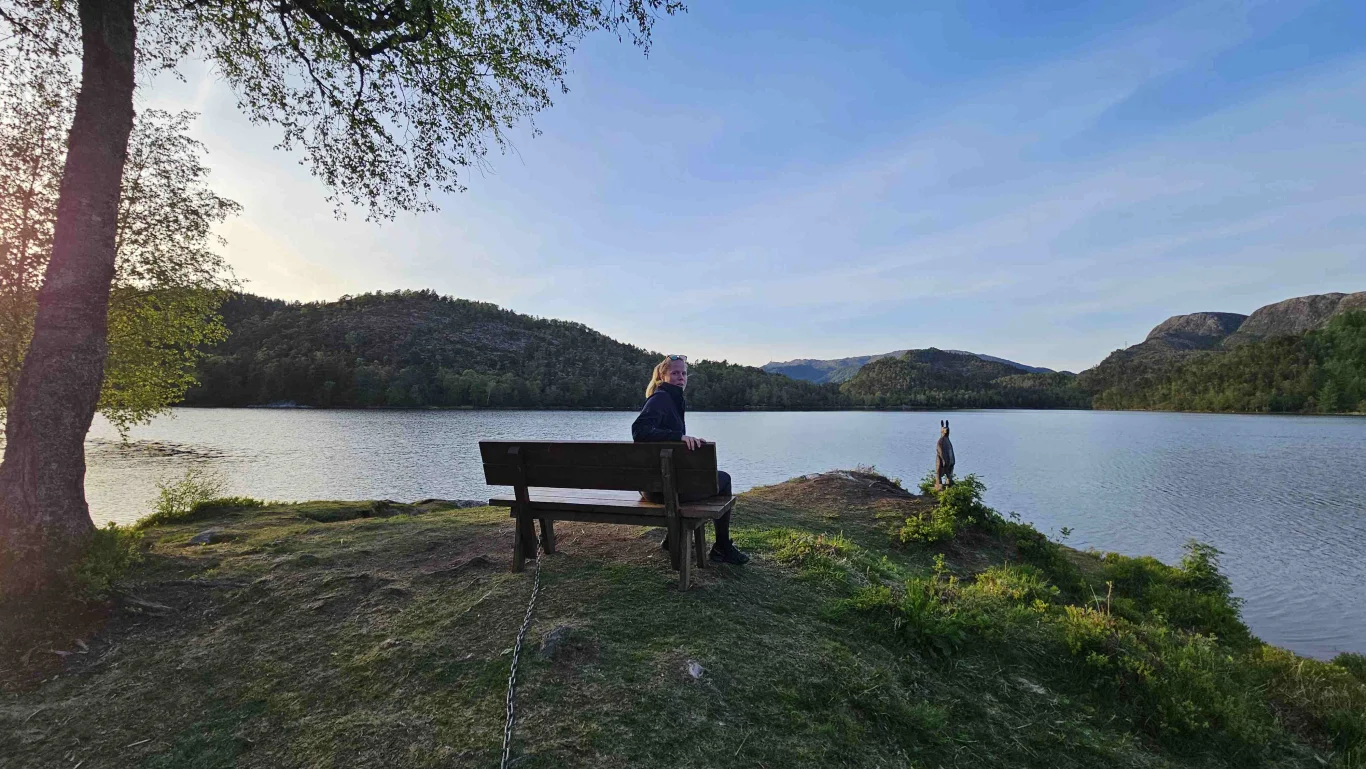
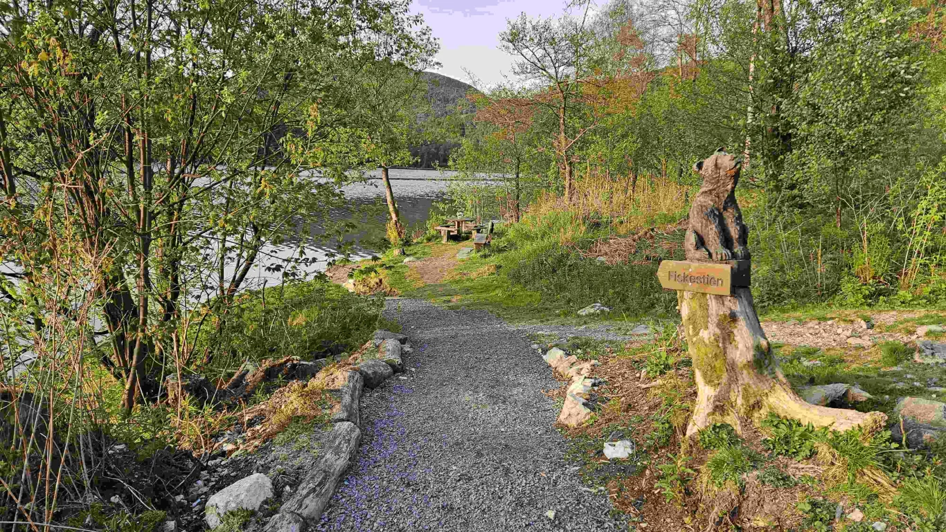
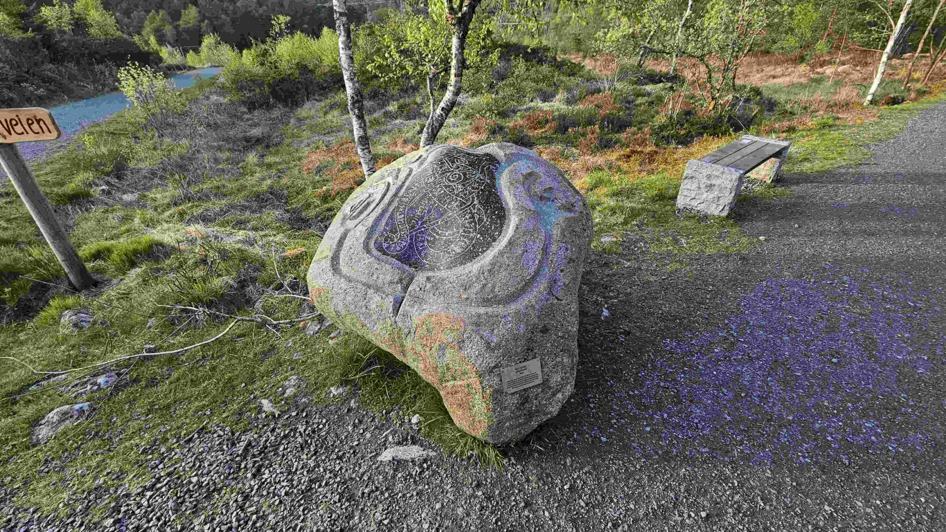
Hiking along Lake Myrdalsvannet in Fana
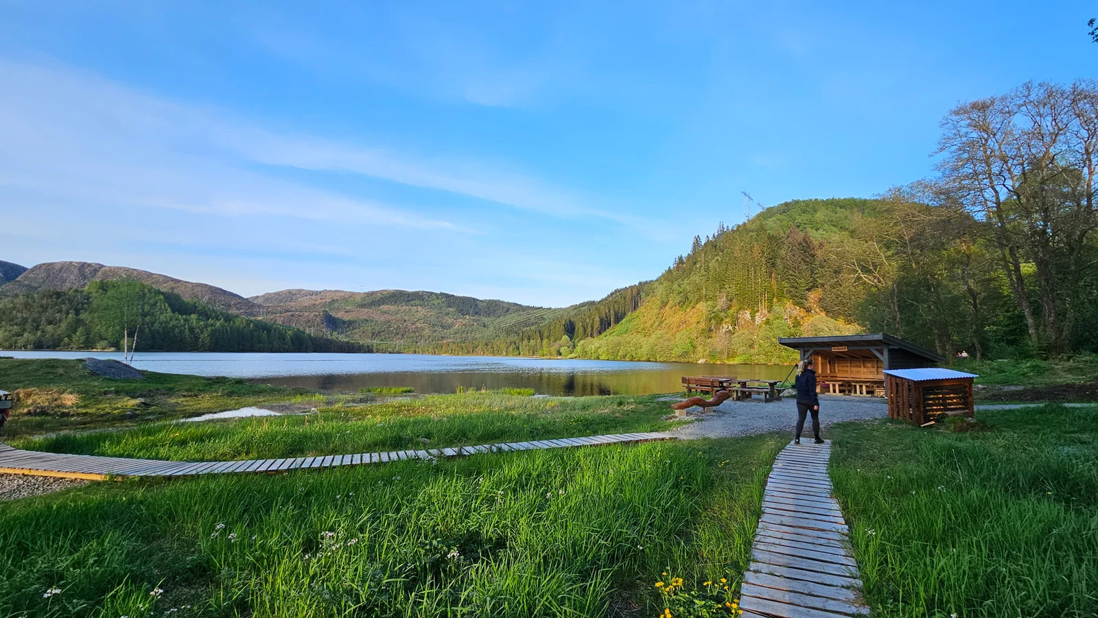
Vandretur langs Myrdalsvannet i Fana
Photo: Admin

The GPX Track is for guidance only and may contain errors. Use at your own risk.
– always check maps, weather and conditions before your trip.

Access

From Nesttun drive towards Totland. There is a parking lot along Myrdalsvannet in lower Totland/Dyngeland.

Parking

Free parking at Myrdalsvannet.

Description

Great hiking area in Fana with a long hiking trail, free parking.

Here, a gravel road runs along large parts of Lake Myrdalsvannet. The road is good and suitable for families with strollers. After a short Distance along the road, you will come to a crossroads. Here you can turn right and follow the road in a circle back. At the highest point, there are benches.

For a longer hike, you can take the path to the right towards Stordalsfjellet and Flåfjellet. You can also follow the path west towards Dyngeland, which after a while turns into a tractor road. Follow this towards the access road to Dyngeland. Then the hike continues along the road south to Totlandsveien. Here there is a sidewalk all the way up to the parking lot at Myrdalsvannet.  

Information

Myrdalsvannet in Fana
Time: approximately 1 hour.
Season: All year round.
Grading: Simple

Processing elevation data.. .

You use GPX files that you download from our server 100% at your own risk.

Accommodation nearby

Hiking nearby