The GPX Track is for guidance only and may contain errors. Use at your own risk.
– always check maps, weather and conditions before your trip.
Cross Osveien (E39) at the pedestrian crossing and follow the road/path along some private houses on the left.
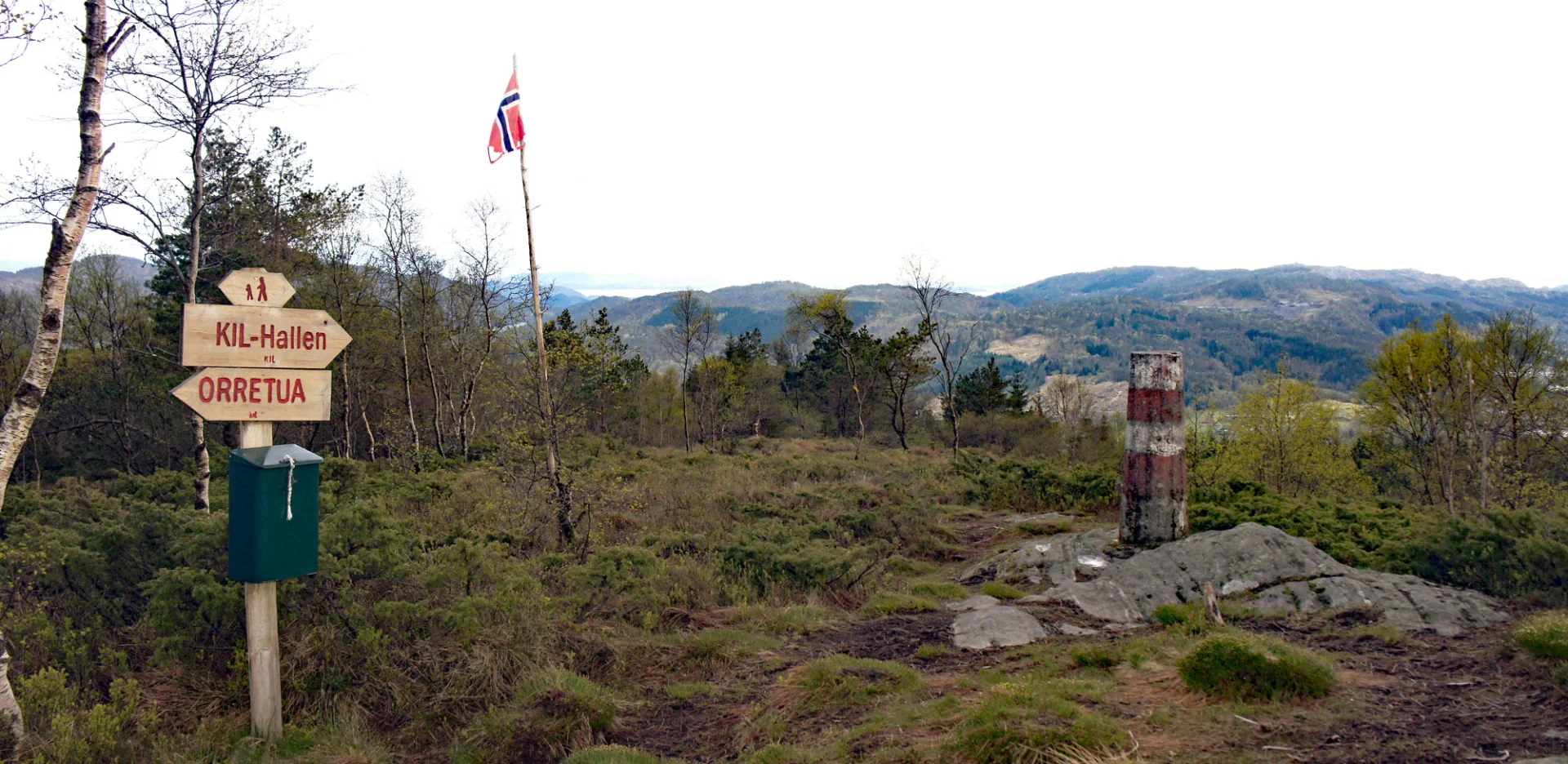
The path slopes upwards towards a tractor road. From there, follow the tractor road until you come to a bend to the left. Here you will see a gate that leads you onto a path through the spruce forest. The gate is marked 'horses in the pasture'. Go straight through the spruce forest until you come onto a construction road. It is marked all the way. Follow the construction road following the signs for Orretua. After approx. 300 metres, turn onto a path to the right, signposted Orretua, and follow the path in a long arc until you reach the top.
At the top there is a flag, cairn and mailbox. Write in the book and enjoy the view over Kalandsvatnet. The easiest way is to go back down the same way.