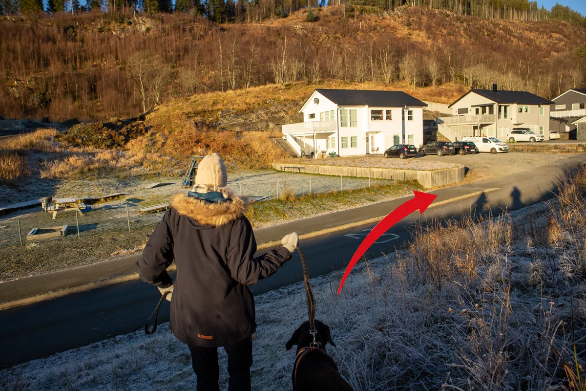
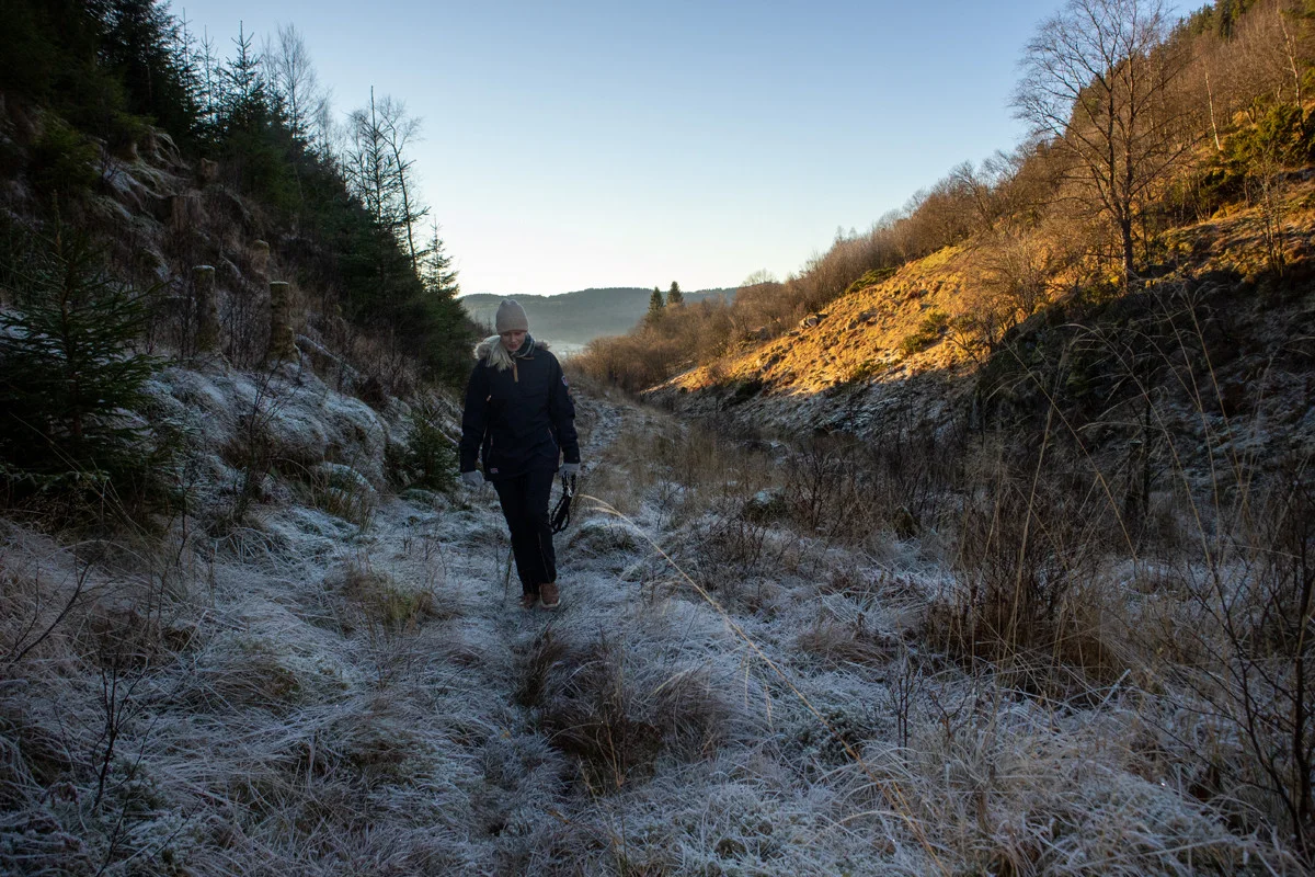
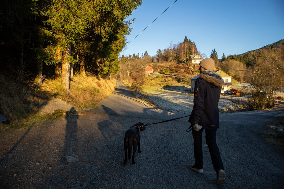
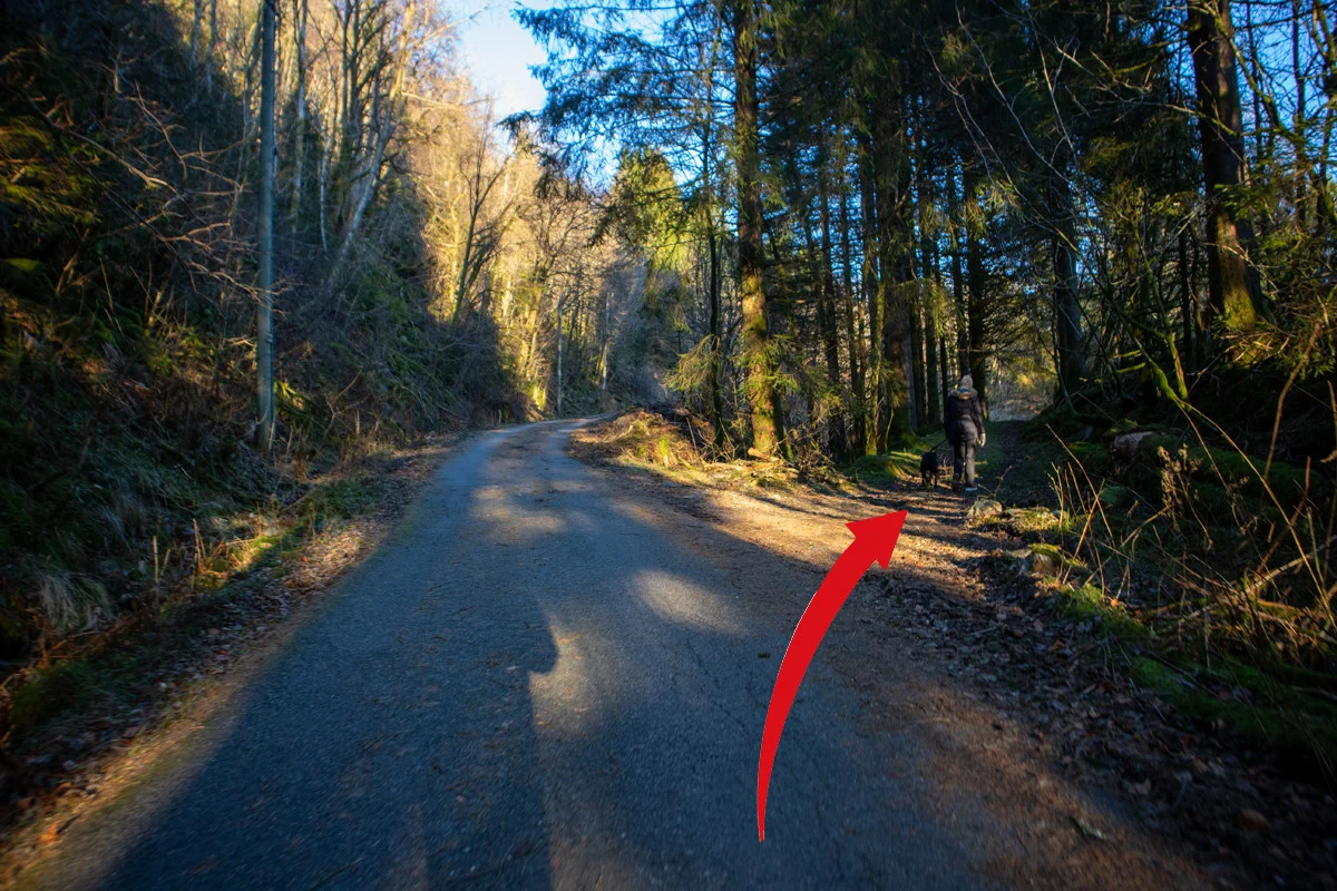
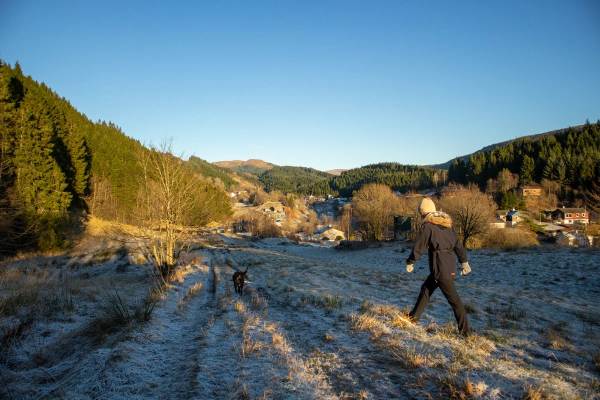
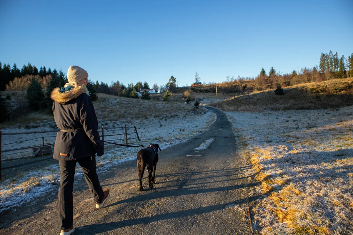
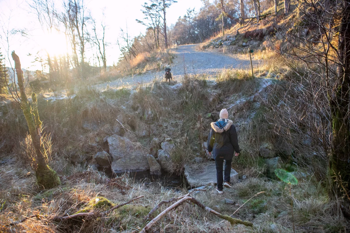
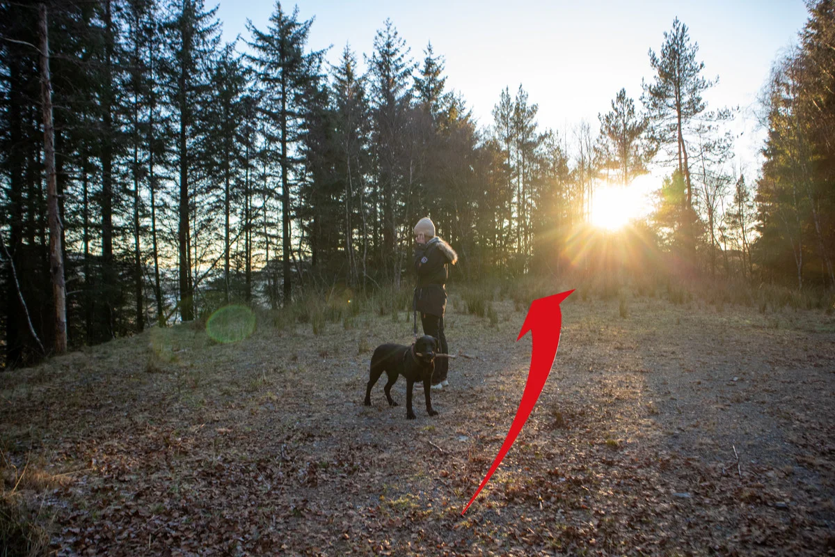
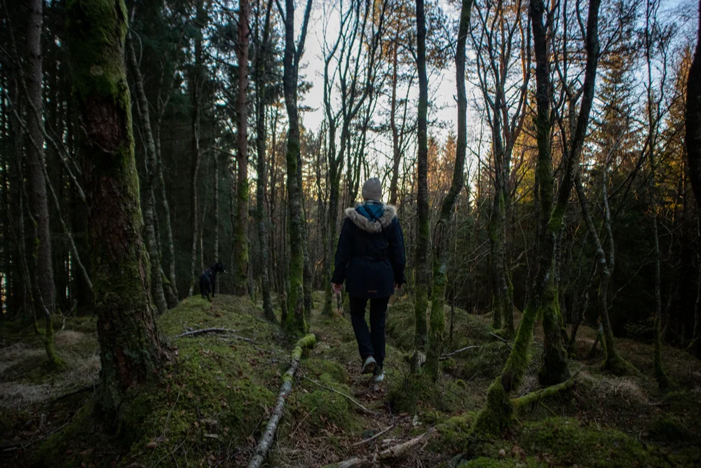
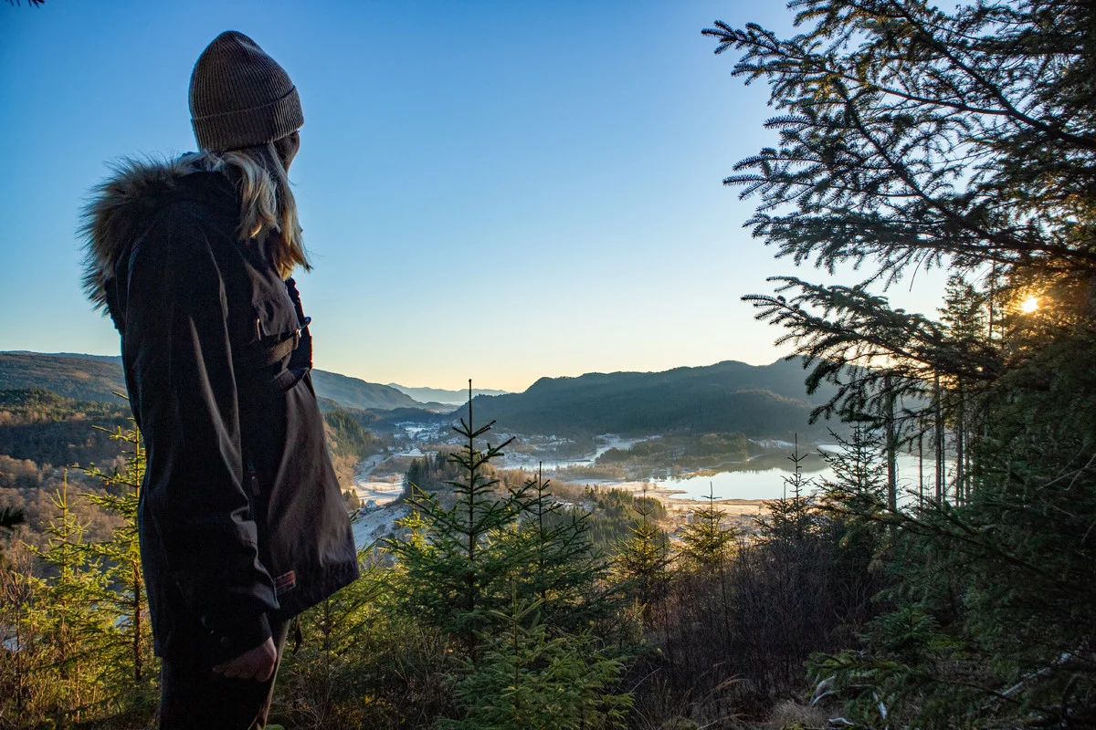
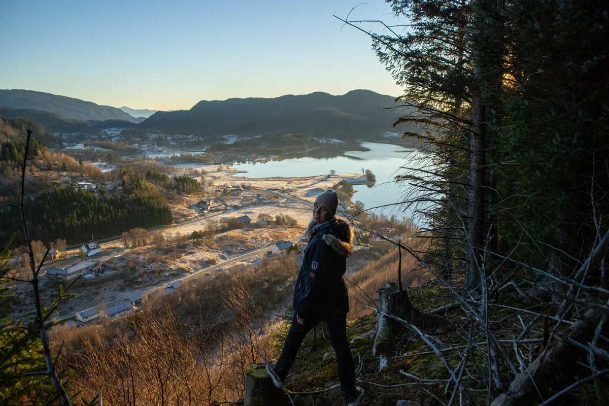
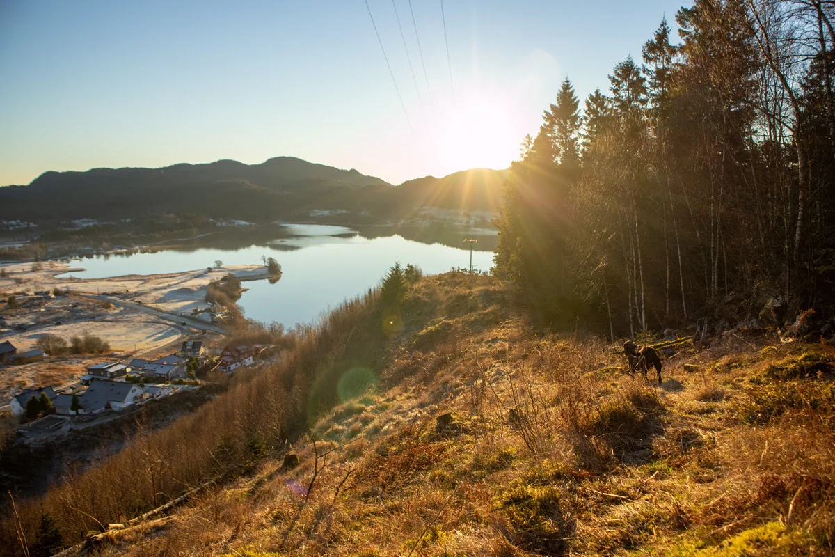
Hiking from Kaland to the viewpoint over Kalandsvannet
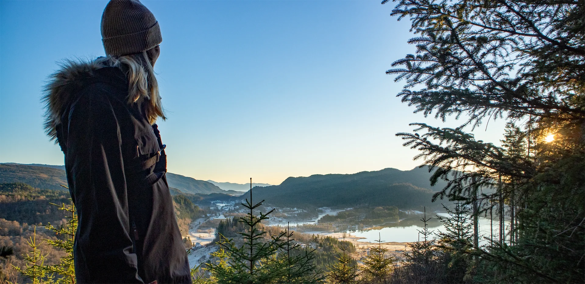
The GPX Track is for guidance only and may contain errors. Use at your own risk.
– always check maps, weather and conditions before your trip.
Access
Parking
Description
From the prayer house, take the road up to the right and follow the path down into Kalandsdalen. From the asphalt road, go north to the end. Here, follow the path/animal tracks up Kalandsdalen until you come onto a new road.
Follow the paved road further north past the house and cabin on the right. About 100 meters after the house there is a tractor road to the right. Go in here and to the end where there is a fence. Get to the left side of the fence there is no barbed wire. Go over the fence here and continue north across the pasture. Go down to Hedne and the road to the left 'Hedneveien' which goes up to Hednefjellet. At the top you go past all the cabins and to the left after the barrier.
Follow the gravel road to the top is Orretua. Here is a cabin where you can take a break. Follow the gravel road south towards Kalandsvannet. Here you can take a detour via the path to the left (shown on the GPS Track ), but you can also follow the gravel road. Go to the end where there is a large gravel area. At the south end of the gravel area there is a path/animal Track into the spruce forest. Follow this a few hundred meters to walk towards the opening on the left side. Here there is a view of Kalandsvannet. You can go even further south where the high-voltage power line goes down, here there is even better view.
Return to the gravel area, and from there follow the marked path down the small valley until you reach the main road. Follow the pavement along Osveien and then up Bontveitvegen to the start.