Short hike to Eggene (198 m above sea level) from Bahus
The GPX Track is for guidance only and may contain errors. Use at your own risk.
– always check maps, weather and conditions before your trip.
Access
Parking
Description
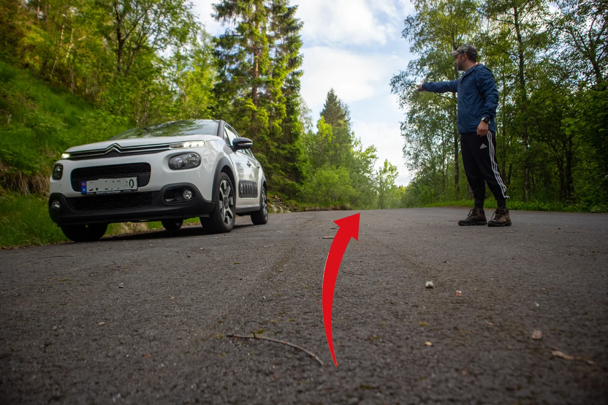
From the parking lot, go back the way you came driving.
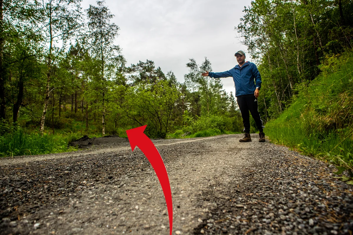
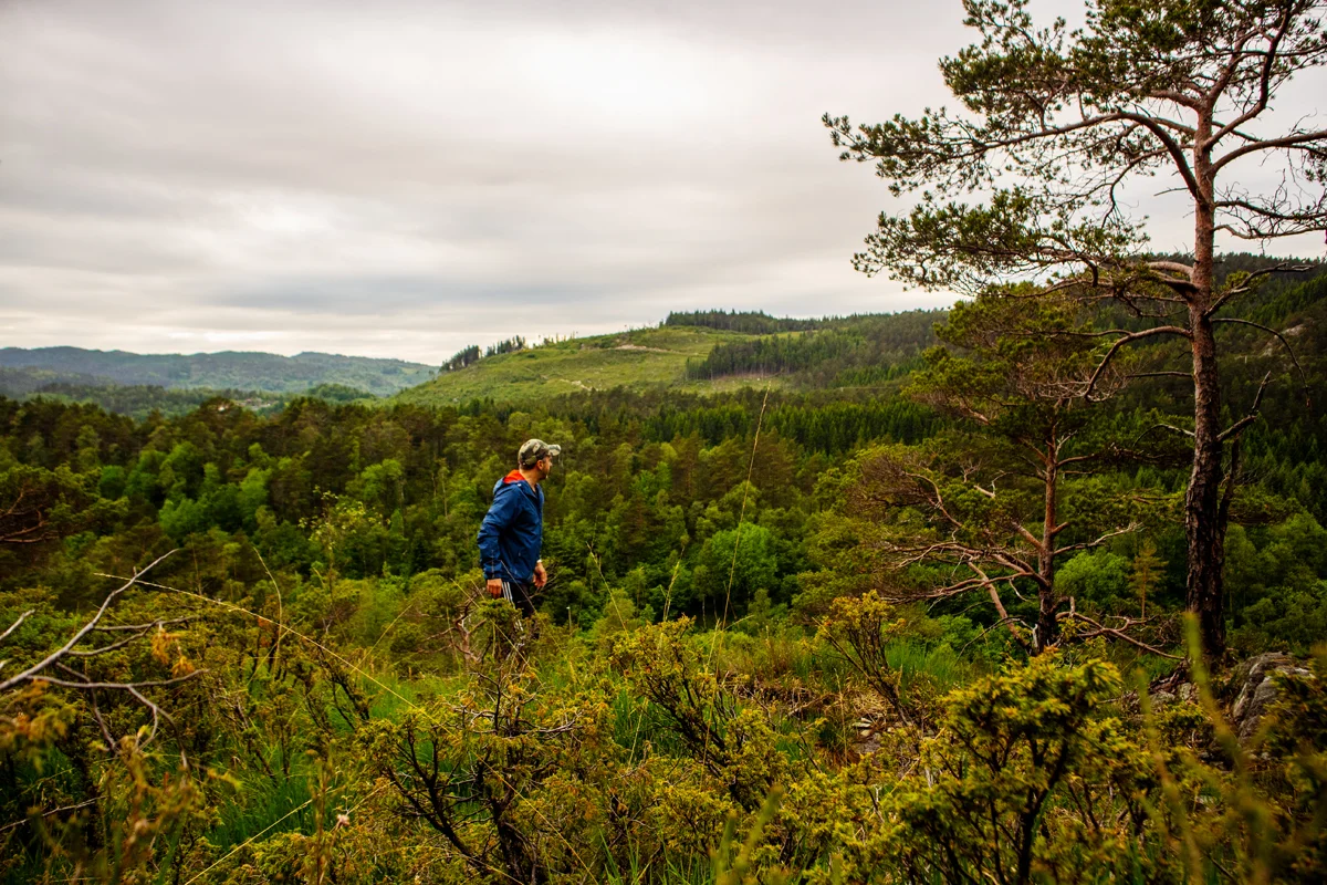
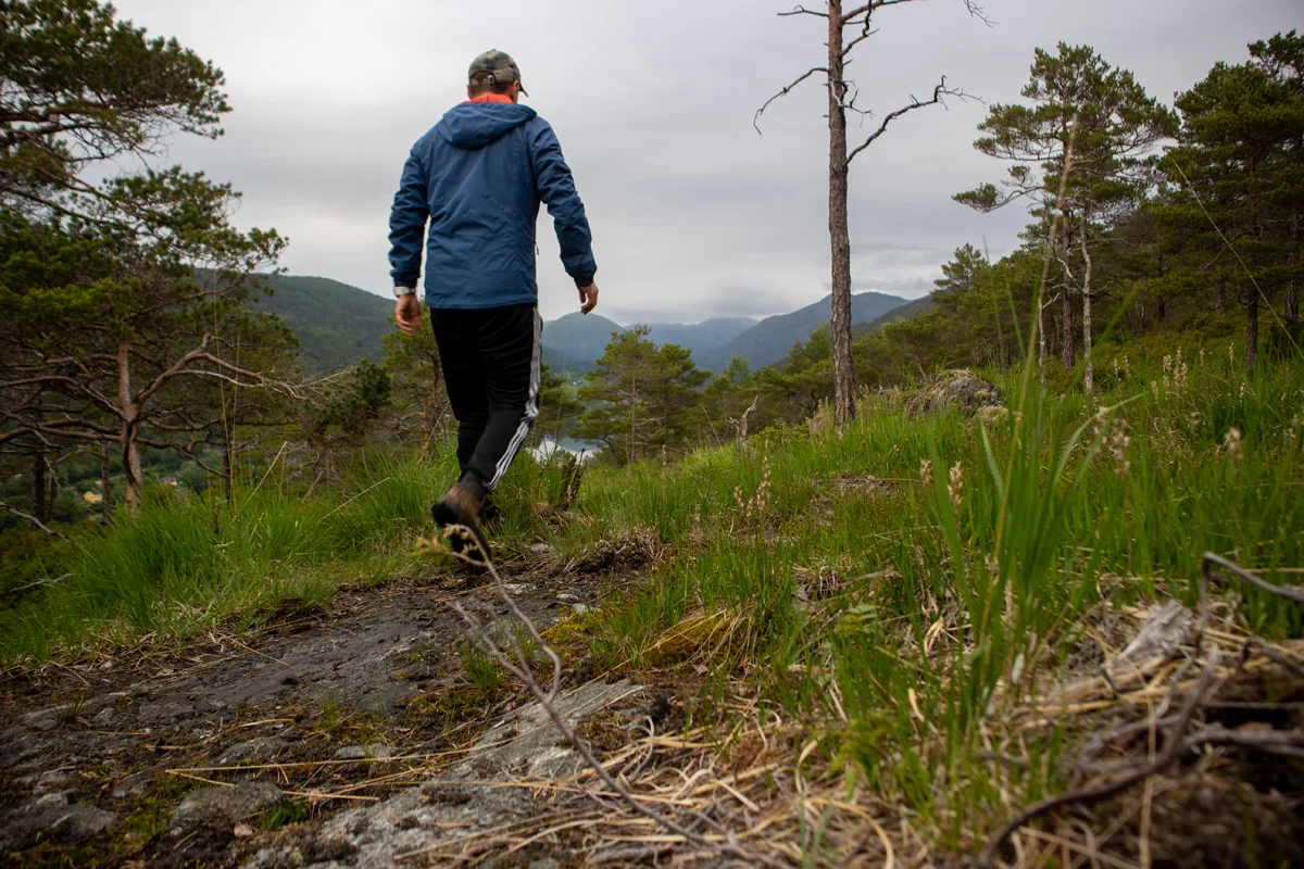
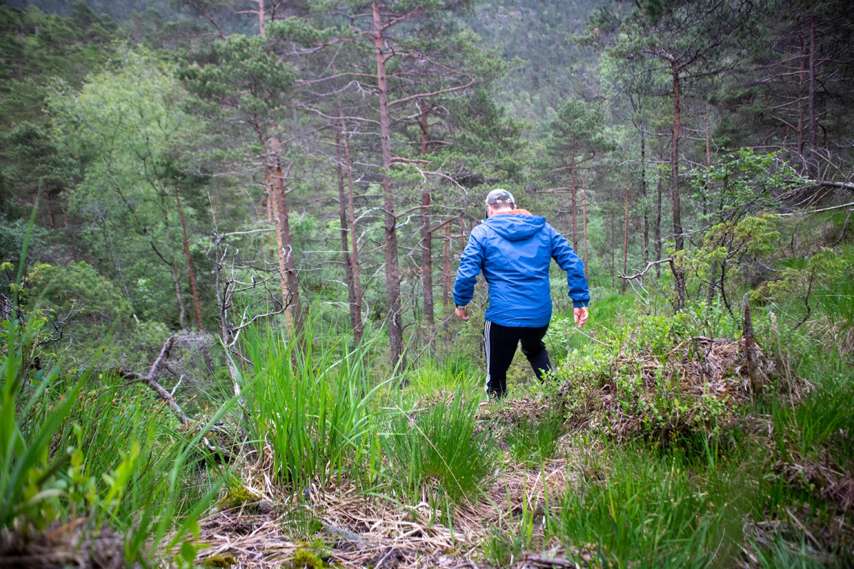
Walk up the hill and back along Engevikvegen for about 700 meters. On the left side is a road pocket. Just behind this, a path curves back to the northeast. Cross the stream and follow the path along the ridge. It runs parallel to the road. The path is quite indistinct in some places and most resembles an animal Track . After a few hundred meters, the path goes up along a cliff before flattening out. It leads you further along the ridge. Here there is a view down to Engevik and Hauglandsvatnet. Follow the path around the ridge and then down into the depression.
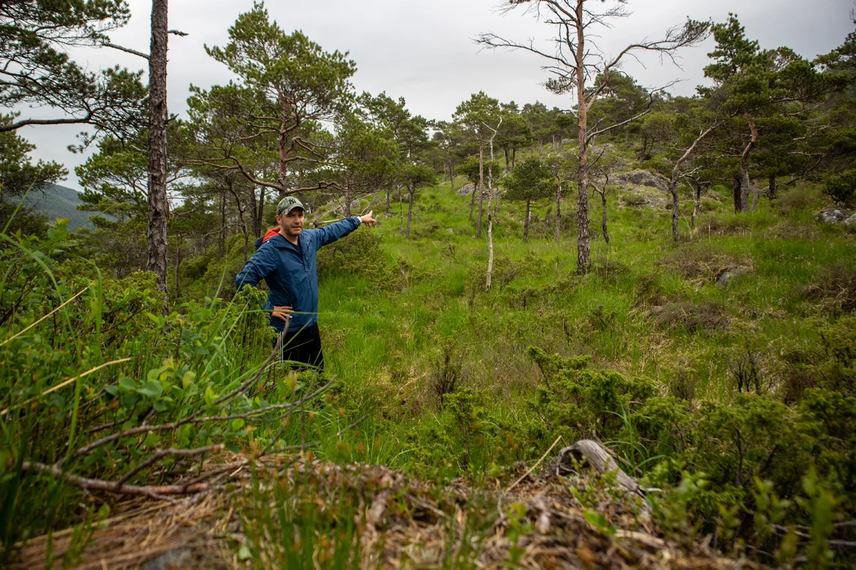
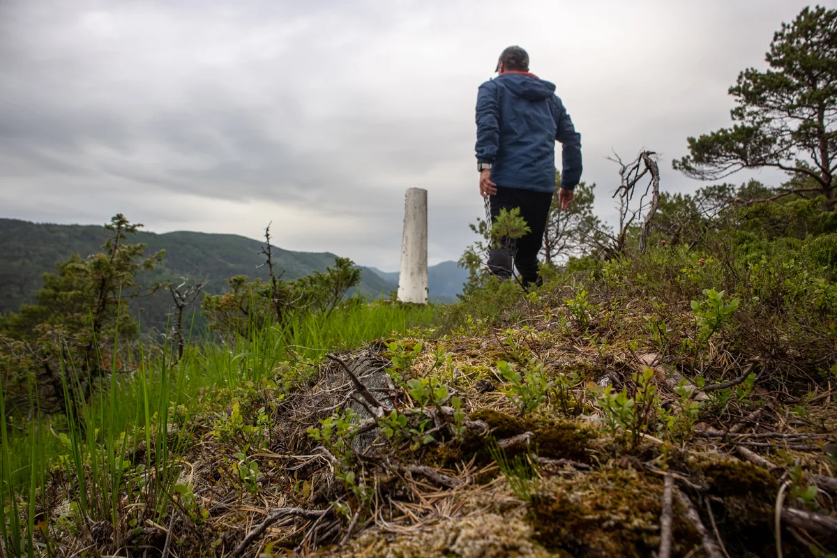
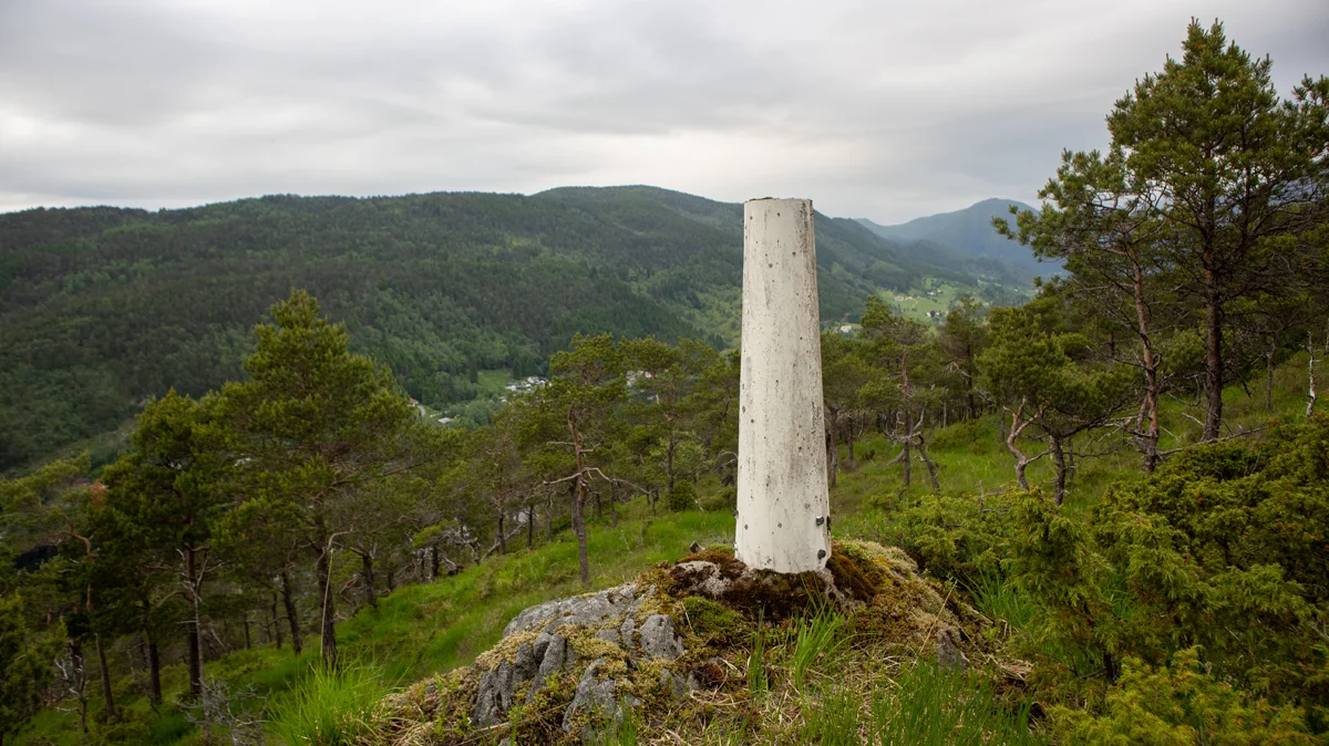
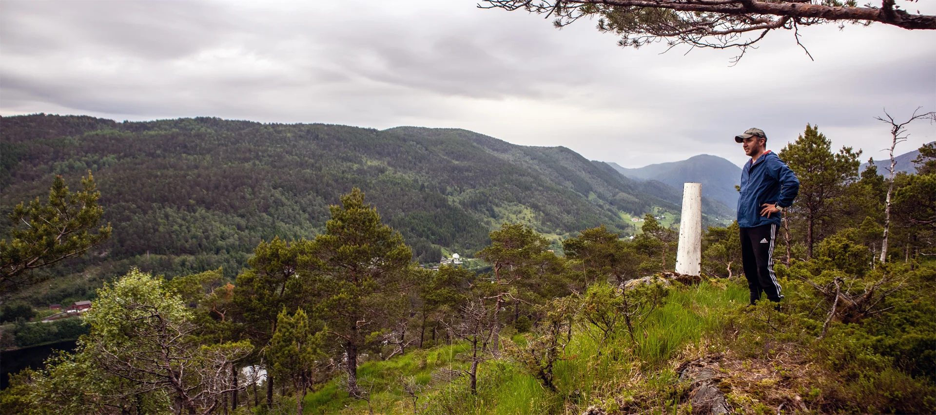
From here the path is clearer and leads you up towards the hill in front of you. At the top of the hill the path gets worse again and turns into an animal Track . Follow the animal Track on the front (left) of the hill before it leads you up to the right and you can see Bergen's cairn. Here you have a nice view down into Hausdalen and Hauglandsvatnet. To the north you can see Hausdalshorga and Søre Gullfjellstoppen. If you follow the GPS Track further, you will reach the top of Eggene. At the top there is nothing, only forest and a poor view.
Return the same way.
Information
Time: Approximately 1 hour.
Season: All year round.