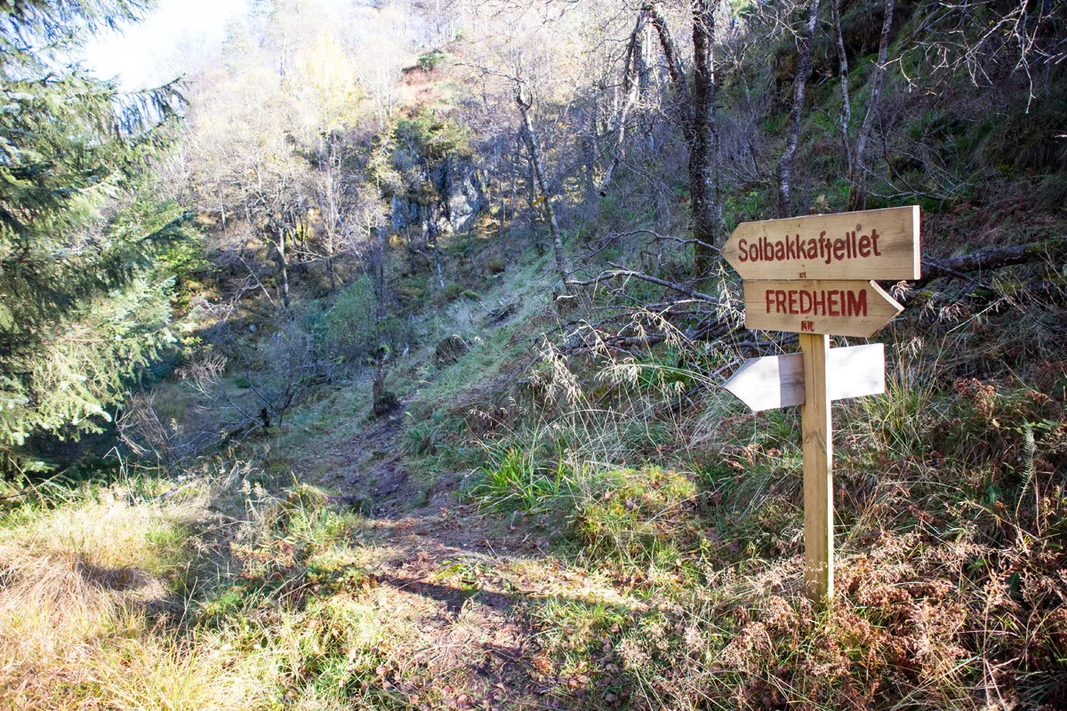
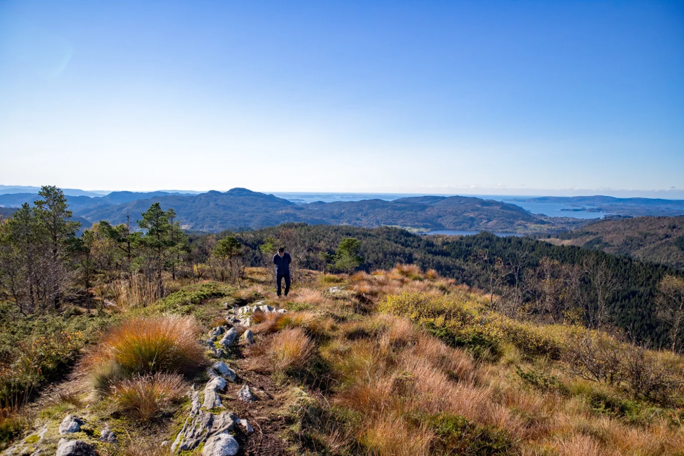
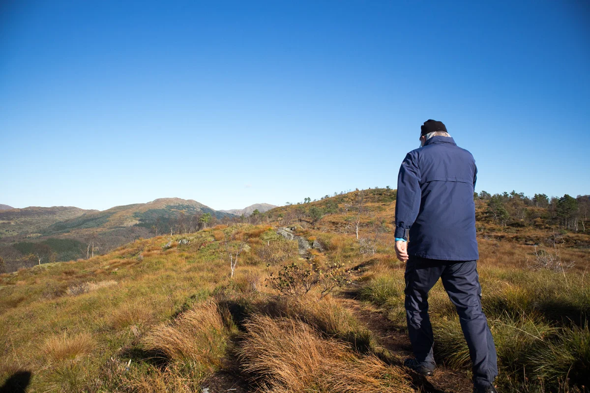
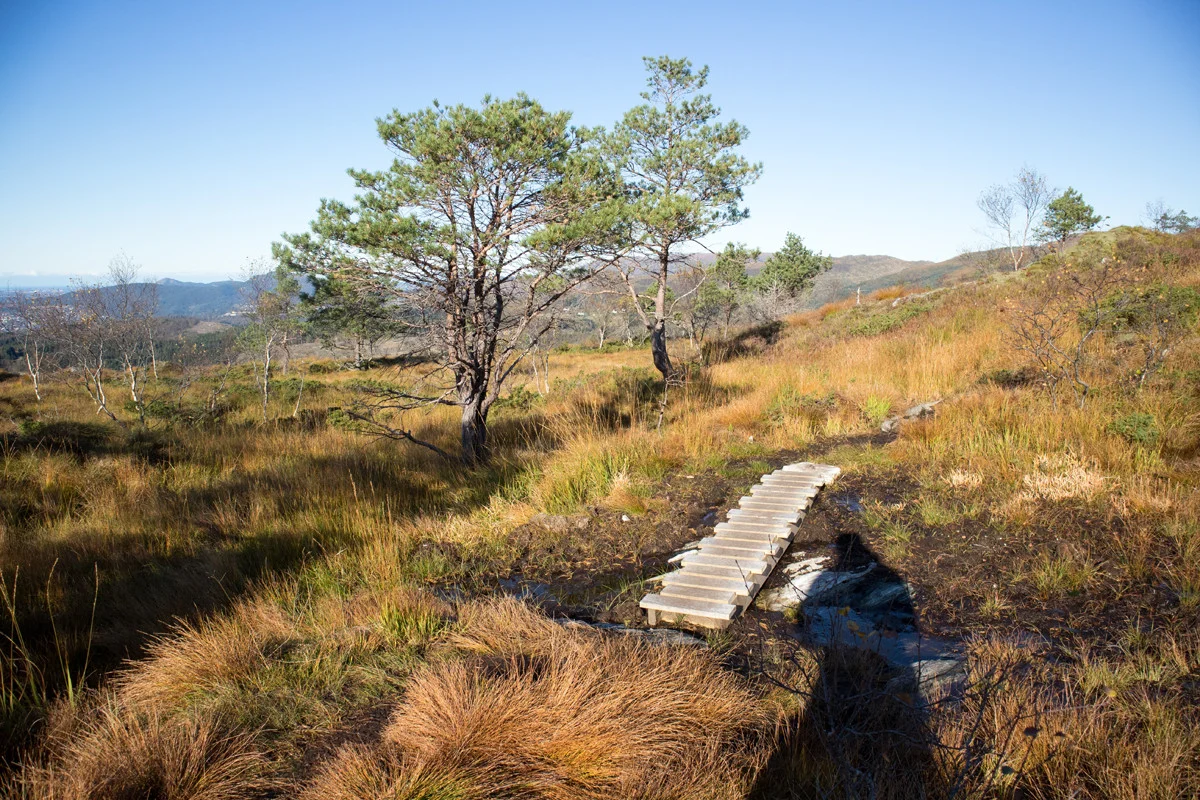
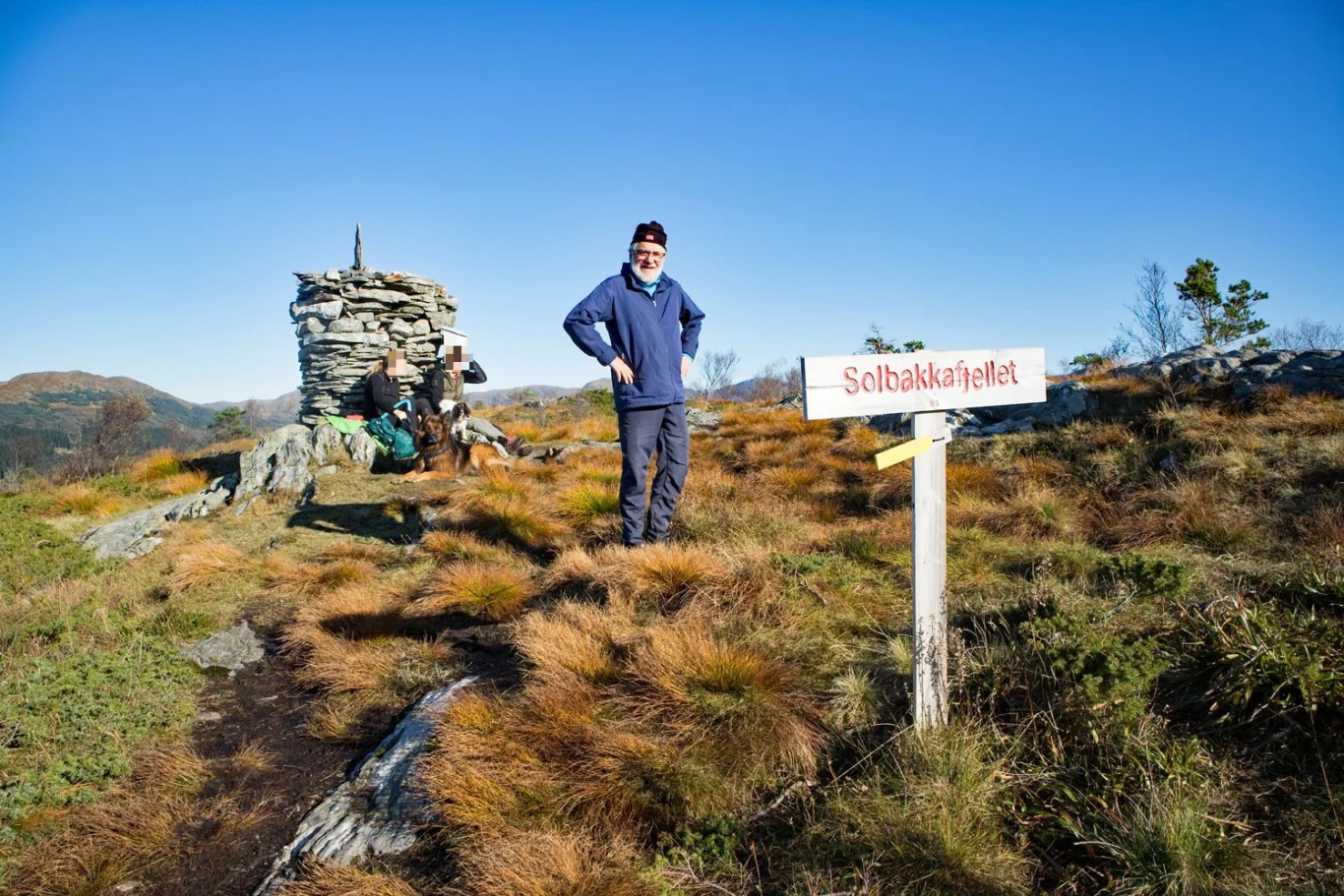
Solbakkefjellet (458 m) from Almeland
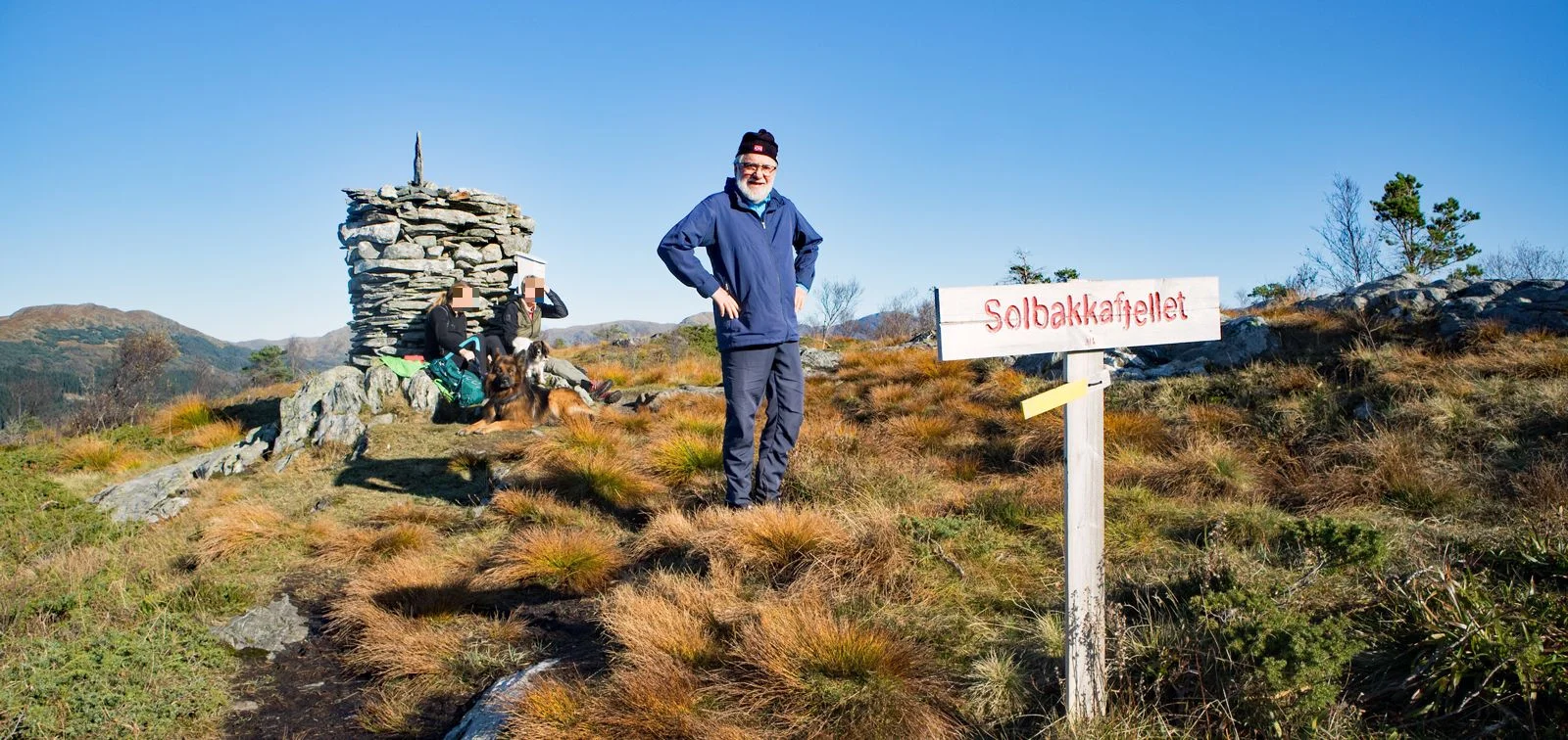
Photo: Admin
Information
Solbakkefjellet 458 m.
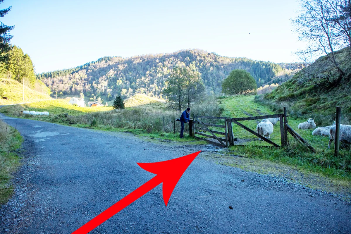
Length: Approximately 8.8 km round trip
Time: 2-3 hours round trip
Season: All year round.
Type: Suitable for family trips. Not suitable for strollers and not suitable for skiing.
Length: Approximately 8.8 km round trip
Time: 2-3 hours round trip
Season: All year round.
Type: Suitable for family trips. Not suitable for strollers and not suitable for skiing.


Processing elevation data.. .
You use GPX files that you download from our server 100% at your own risk.
Accommodation nearby


Hiking nearby


