
SignaTUR Bontveit round trip 33.5 km
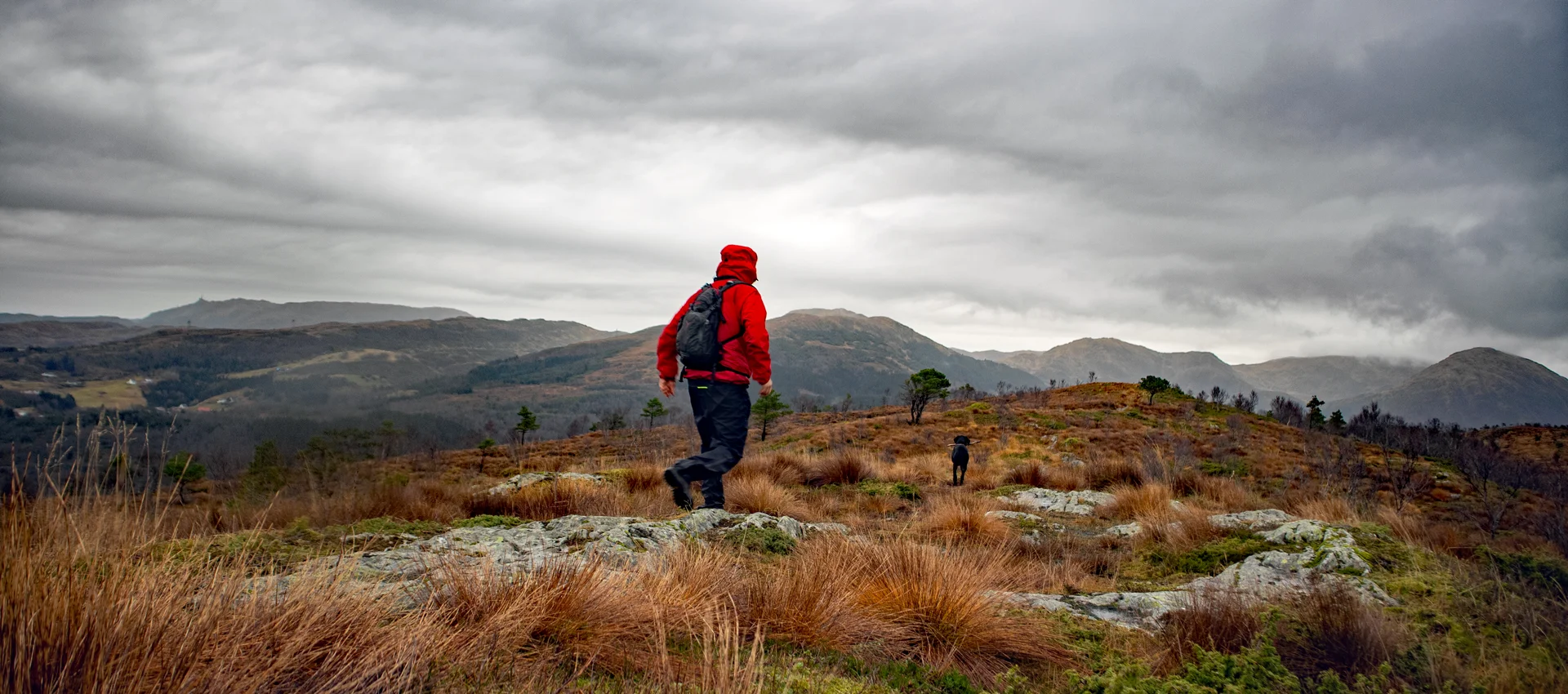
SignaTUR Bontveit rundtur 33,5 km
Photo: Admin

The GPX Track is for guidance only and may contain errors. Use at your own risk.
– always check maps, weather and conditions before your trip.

Access

From Nesttun, follow Osveien over the Vallaheien and all the way to Kalandseidet. Turn left where there is a sign for Hausdalen. Follow the road for about 1 km. Turn left onto the gravel road at the bend at Stordalen. There is ample parking here.

Parking

Free tour parking Hausdalsvegen/Stordalen.

Description

This is a long hike of 33.5 km. It starts from Kaland and runs parallel to Bontveitdalen on the right side, heading north.

From Bontveit it goes over the mountains that surround Dyrdalen and further over Sletteggen and Livarden. Then it goes down to Totland. From Totland the route goes south parallel to the west side of Bontveitdalen where it ends at Kaland Skole.

You can do the hike as a day trip or in stages. We have divided the hike into three stages. The finish line for each stage is arranged at places where you can easily be picked up by car.

SignaTUR Bontveit 1st stage. Kaland - Bontveit.  
The first part goes to Solbakkefjellet (458 m. above sea level) over the ridge down to Frotveit / Solbakken Gård. Then you have to walk 2.6 km on a paved road up to the turning point at Bontveit.
More information about the 1st stage here.
https://paturnorge.no/ Hiking tips/Premium/signatur-bontveit-1-etappe

SignaTUR Bontveit 2nd stage. Bontveit - Totland.
This is the mountain stage, and the hardest stage. It starts at Bontveit and goes over the mountains Hausdalshorga, Austefjellet, Sletteggen and Livarden. The goal is the ski resort at Totland.
*Coming

SignaTUR Bontveit 3rd stage. Totland - Kaland.
The last stage goes from Totland south towards Kaland. From here you follow the lighted trail system down to Hedne. Then to Orrtua and Vardafjellet and down to Kaland school.
*Coming

Information

Solbakkefjellet (458 m.)
Hausdalshorga (784 m.)
Austefjellet (808 m.)
Sletteggen (742 m.)
Livarden (683 m.)
Orrtua (365 m. above sea level)
Vardefjellet (337 m.)

Length round trip approx. 33.34km.
Time: approximately 8-10 hours.
Total elevation gain: 1754 meters.
Season: Spring, summer, autumn.
Recommend shoes that go above the ankle as there are many marshy areas.
Rating: Extra Demanding

Processing elevation data.. .

You use GPX files that you download from our server 100% at your own risk.

Accommodation nearby

Hiking nearby