The GPX Track is for guidance only and may contain errors. Use at your own risk.
– always check maps, weather and conditions before your trip.
Access
Parking
Description
Dette er 1. etappe av SignaTUR Bontveit rundtur 33,4 km.
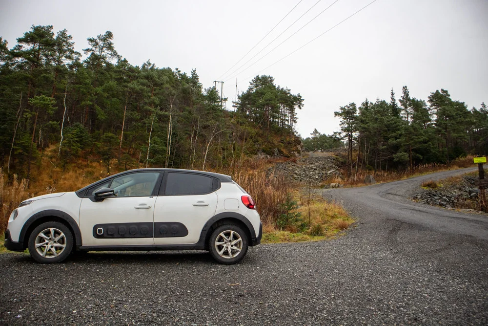
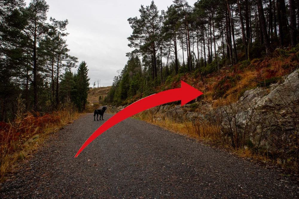
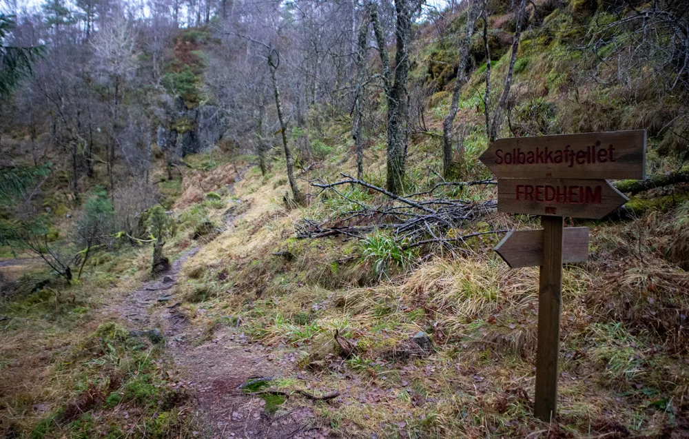
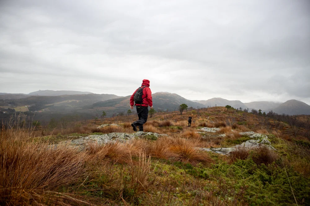
The hike begins on a gravel road with a slight incline at the beginning. After a few hundred meters you will come to a sign marked Solbakkefjellet (right side). Follow the marked path. From here the hike goes through forest and marshy terrain.
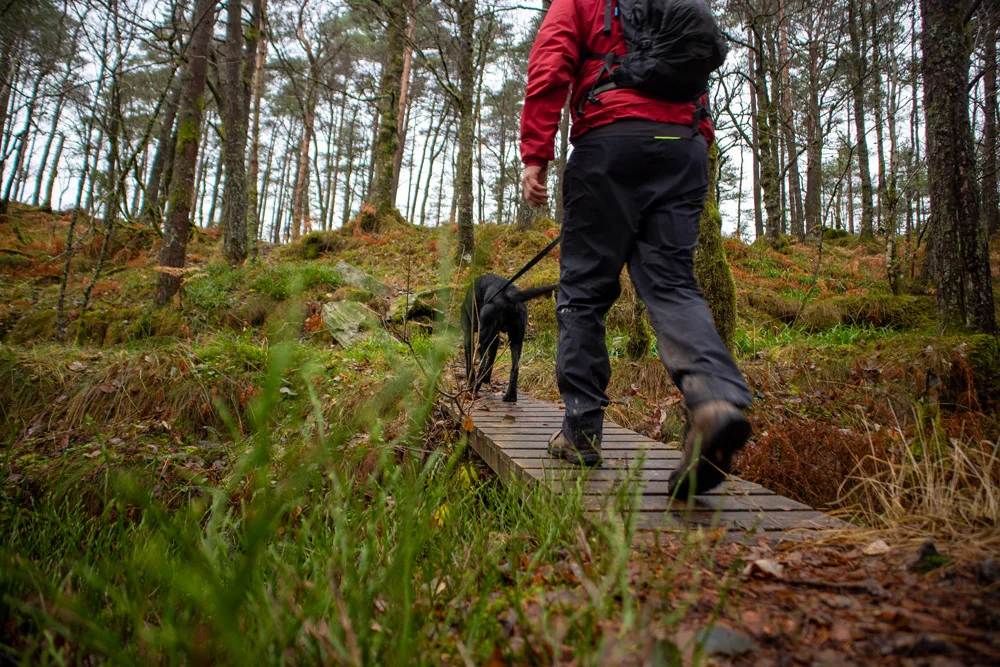
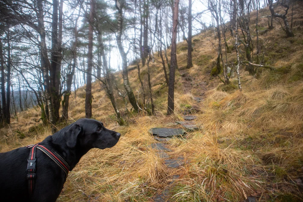
It is relatively flat with a steady climb all the way. You have to climb some steep bends, including up to Stongelia to Smørkisen. Just before the last climb up to the southern ridge of Solbakkefjellet you have to cross a soft bog, but fortunately there are wooden bridges here. Then follow the path all the way up to the cairn peak.
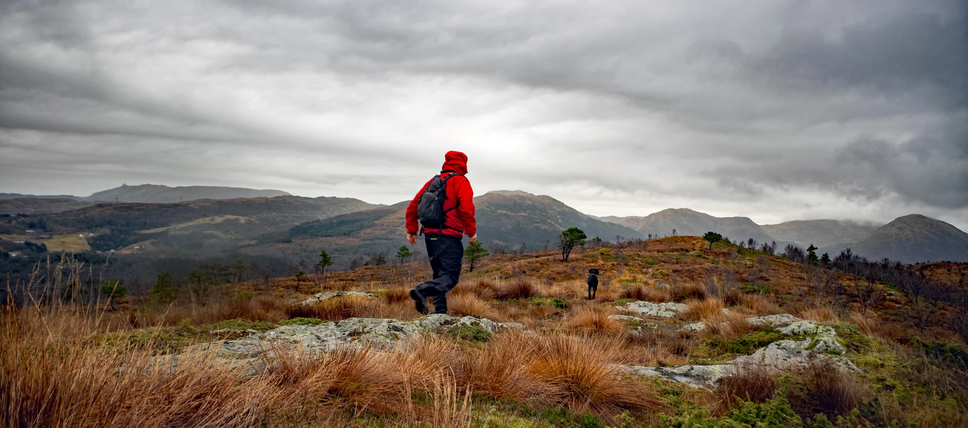
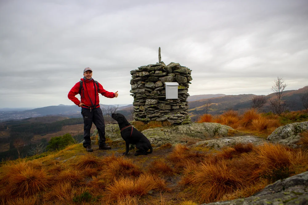
At the top (458 m. above sea level) there is a cairn with a mailbox and a book. You get a great view of Livarden, Hausdalshorga and Gullfjellet to the north. Møsnuken and Fanafjellet to the south. In the background you can see Folgefonna to the east and the sea to the west.
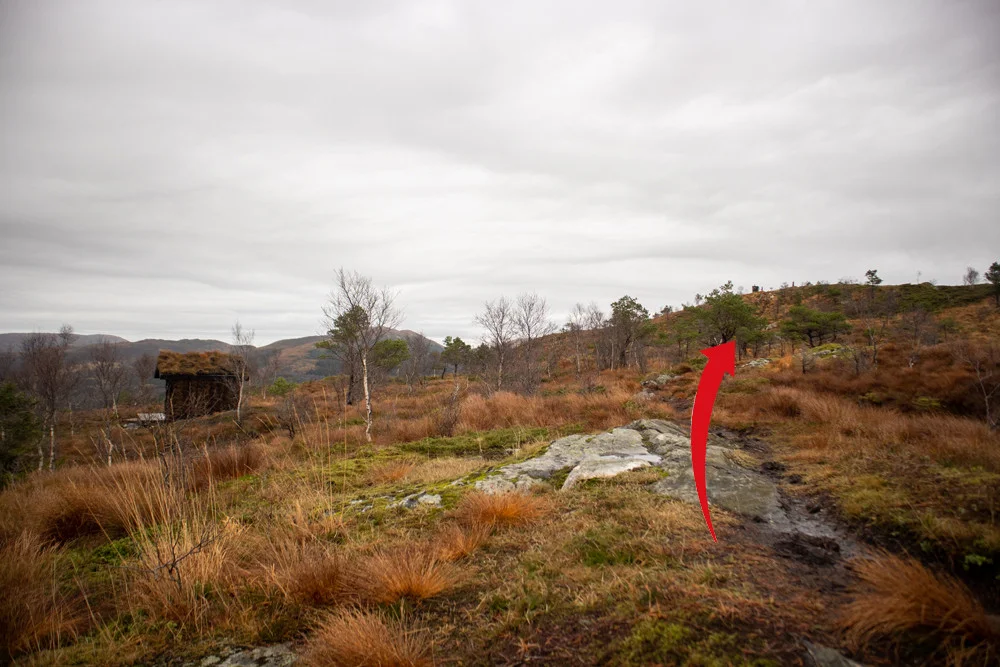
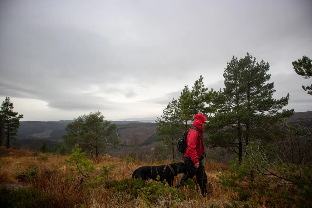
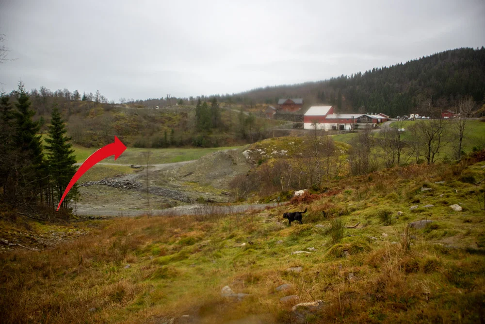
Følger deretter ryggen på Solbakkefjellet nordover. Stien er god og det er merket. Etter et stykke må du krysse en bekk og noe veldig myrete partier. Her kan stien være noe utydelig så se etter merking. Stien leder deg ned til Frotveit / Solbakken gård. På denne nedstigningen er det steinete og ulendt. Pass på å bruke brodder om det har vært frost.
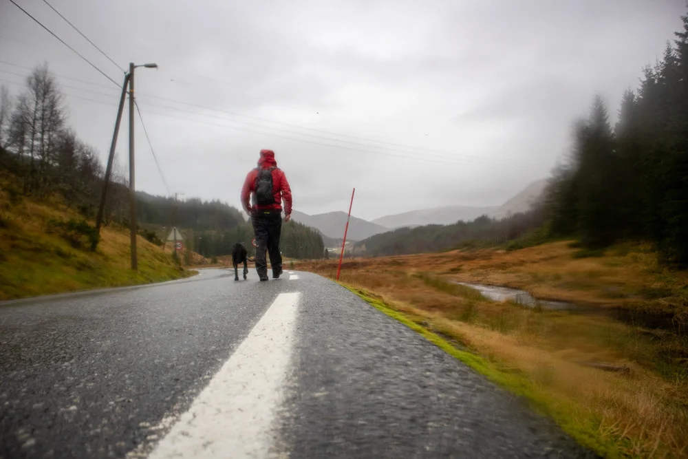
Down by Solbakken farm, continue through the farmyard up Bontveitvegen. Follow the road up the valley (approx. 2.6 km.) to the turning point at Bontveit. Be sure to keep to the side when going up as cars often come at high speed. You have now completed the 1st stage!
Information
Length approximately 10.5 km.
Time: approximately 4-6 hours.
Season: Spring, summer, autumn.