
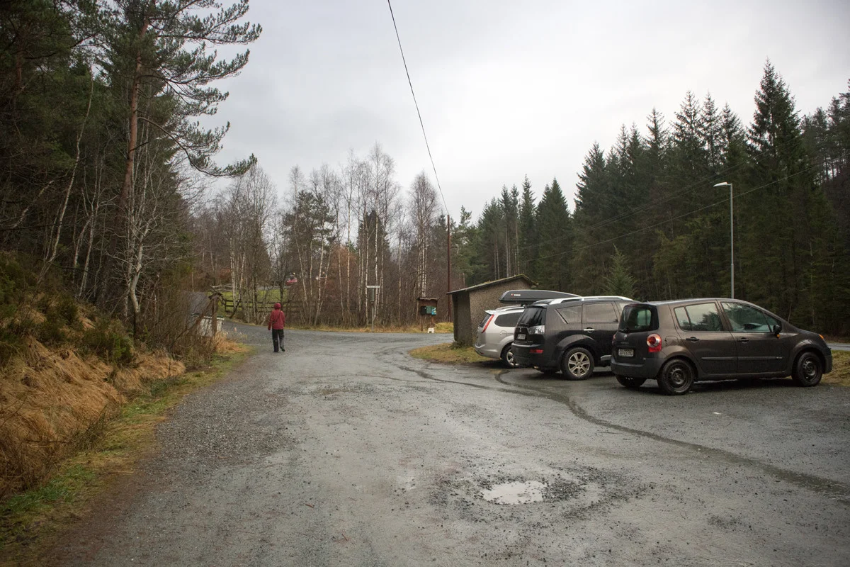
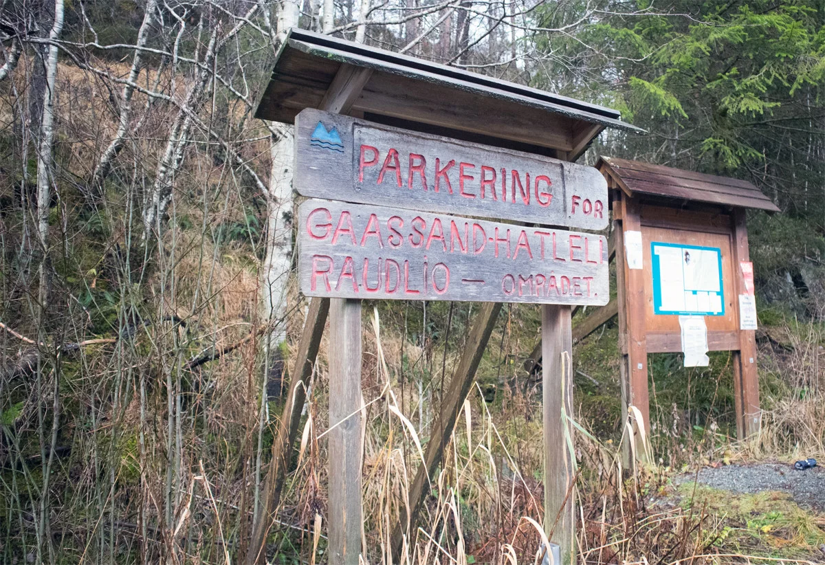
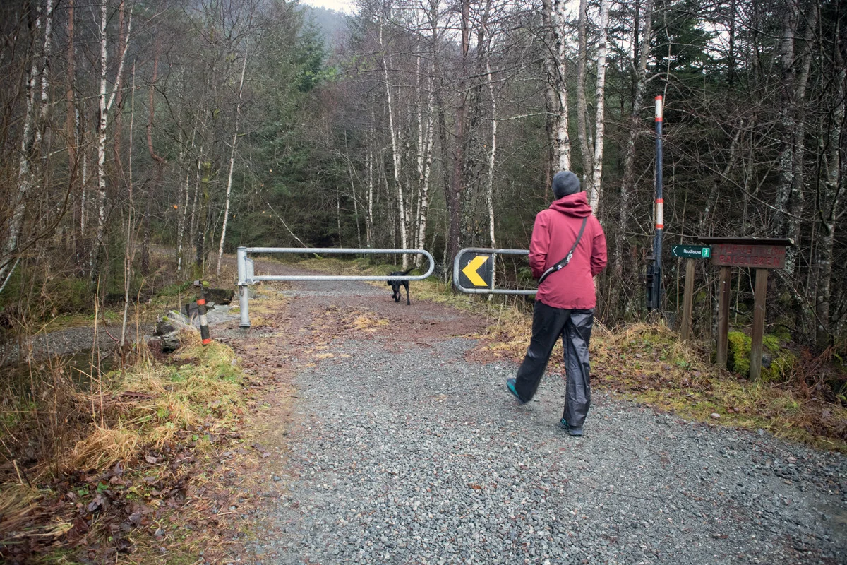
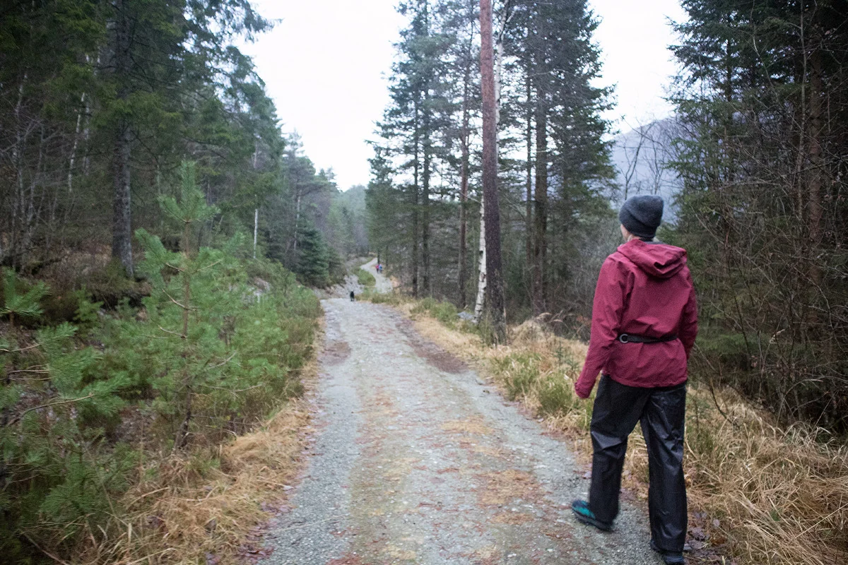
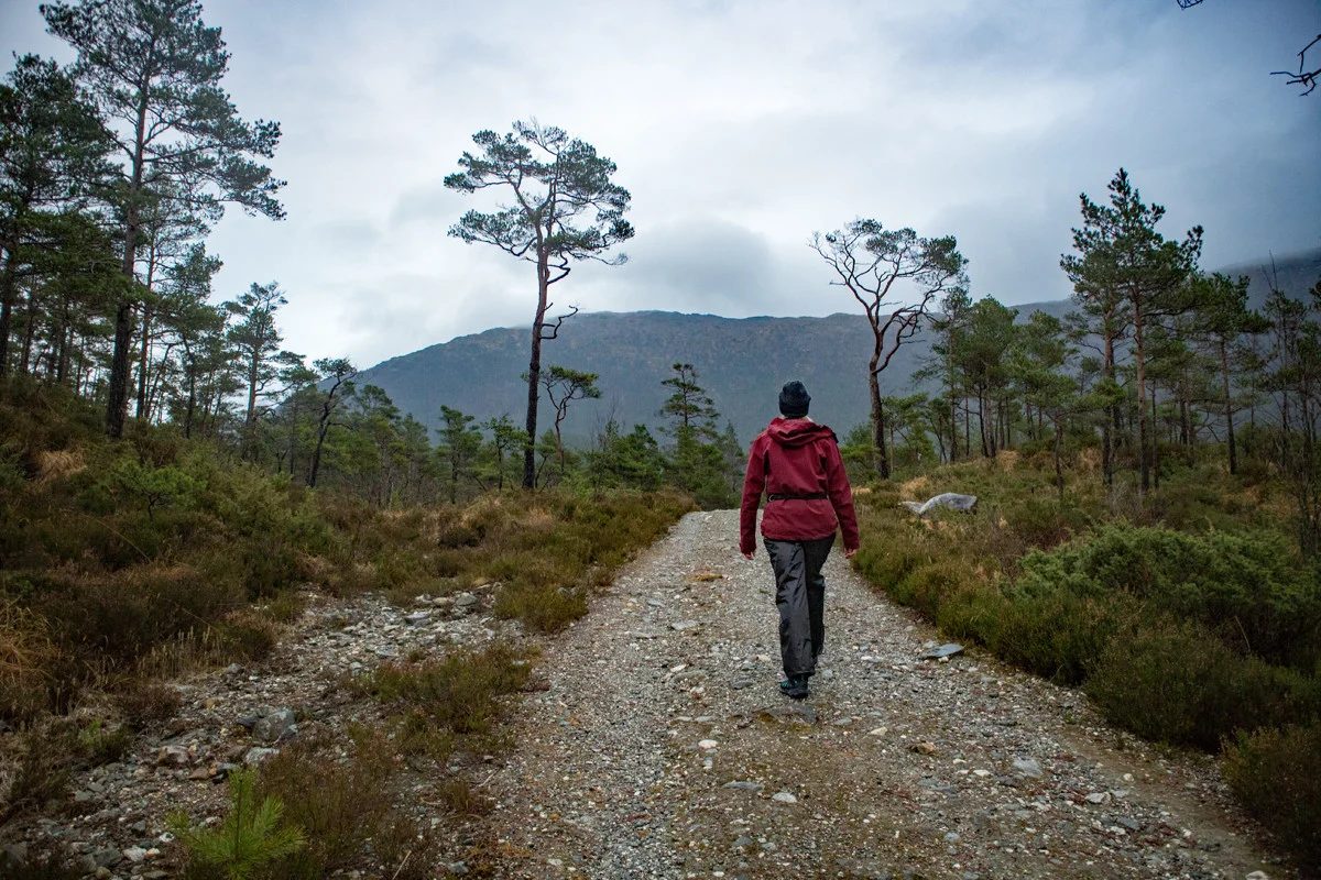
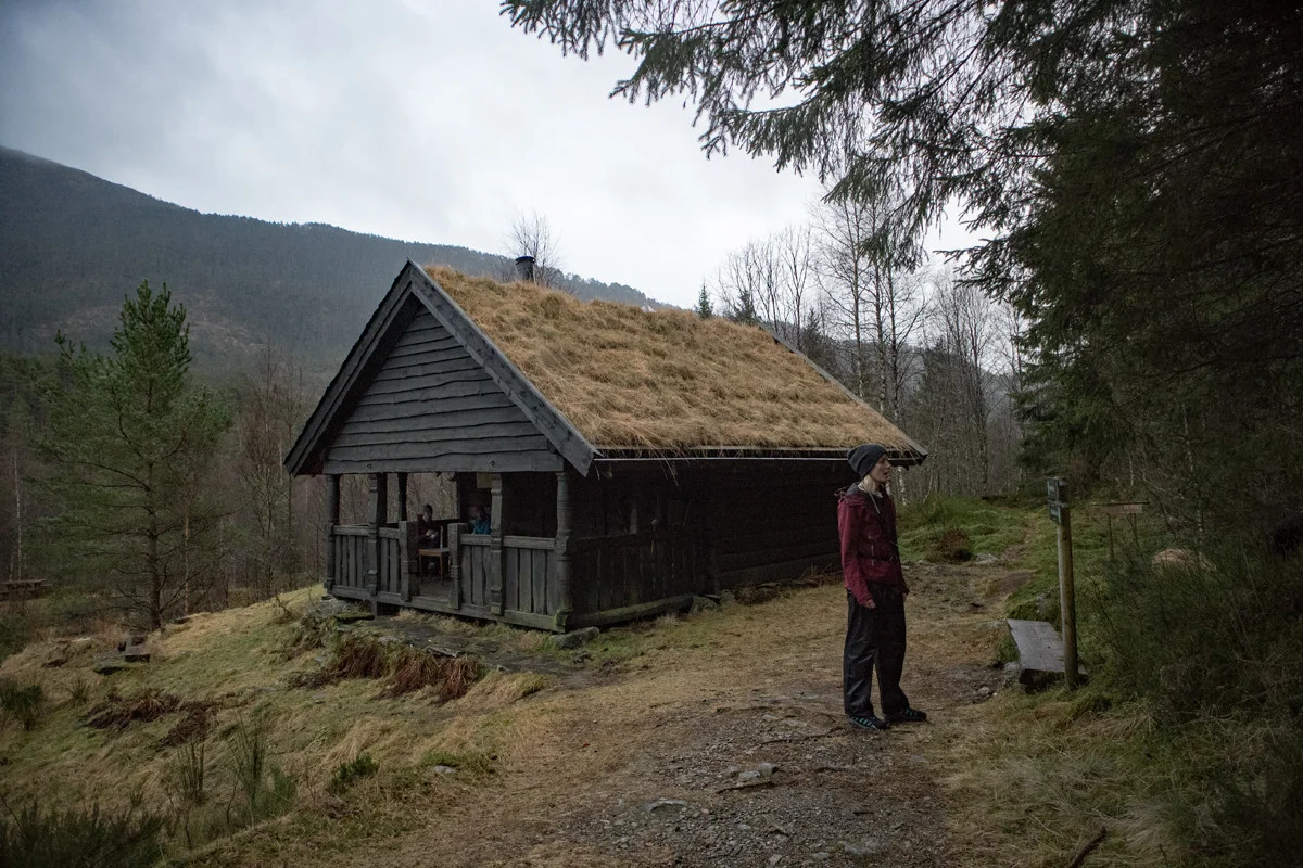
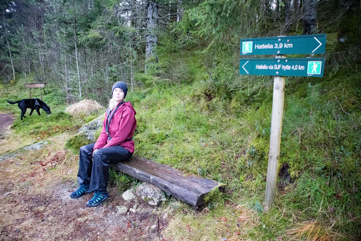
Hiking from Hatlelio to Raudlistova
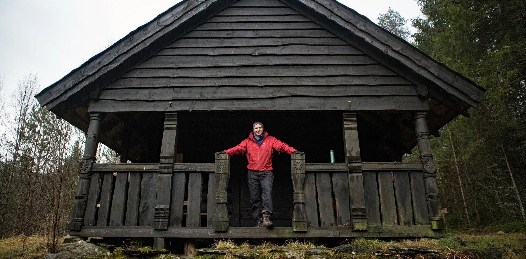
Vandretur fra Hatlelio til Raudlistova
Photo: Admin

The GPX Track is for guidance only and may contain errors. Use at your own risk.
– always check maps, weather and conditions before your trip.

Access

From Nesttun, drive towards Os over Vallaheien to Søfteland. Turn left towards Gåssand. Follow that road through the farmyard and then a long stretch inland to the parking lot at Hatlelio.

Parking

Large parking lot for hikers at Hatlelio with free parking.

Description

Go to the end of the parking lot and follow the dirt road where there is a sign 'Raudlistova 3.9 km.'

When you reach the top of the hill, go left through the barrier. From here, just follow the gravel road to Raudlistova. There is a good road all the way to the cabin, so the trip is also suitable for strollers.

Grusveien går opp og ned og det er noen lange bakker. Veien er lagt gjennom et friluftsområde så er mange benker. Det er også bygget en gapahuk nede ved Ytsta Raudlivatnet hvor det er fint å ta pause. 

Have a good trip!

Information

Length round trip: Approximately 8 km.
Round trip time: 2-3 hours.
Season: All year round.
Grading: Simple

Processing elevation data.. .

You use GPX files that you download from our server 100% at your own risk.

Accommodation nearby

Hiking nearby