The GPX Track is for guidance only and may contain errors. Use at your own risk.
– always check maps, weather and conditions before your trip.
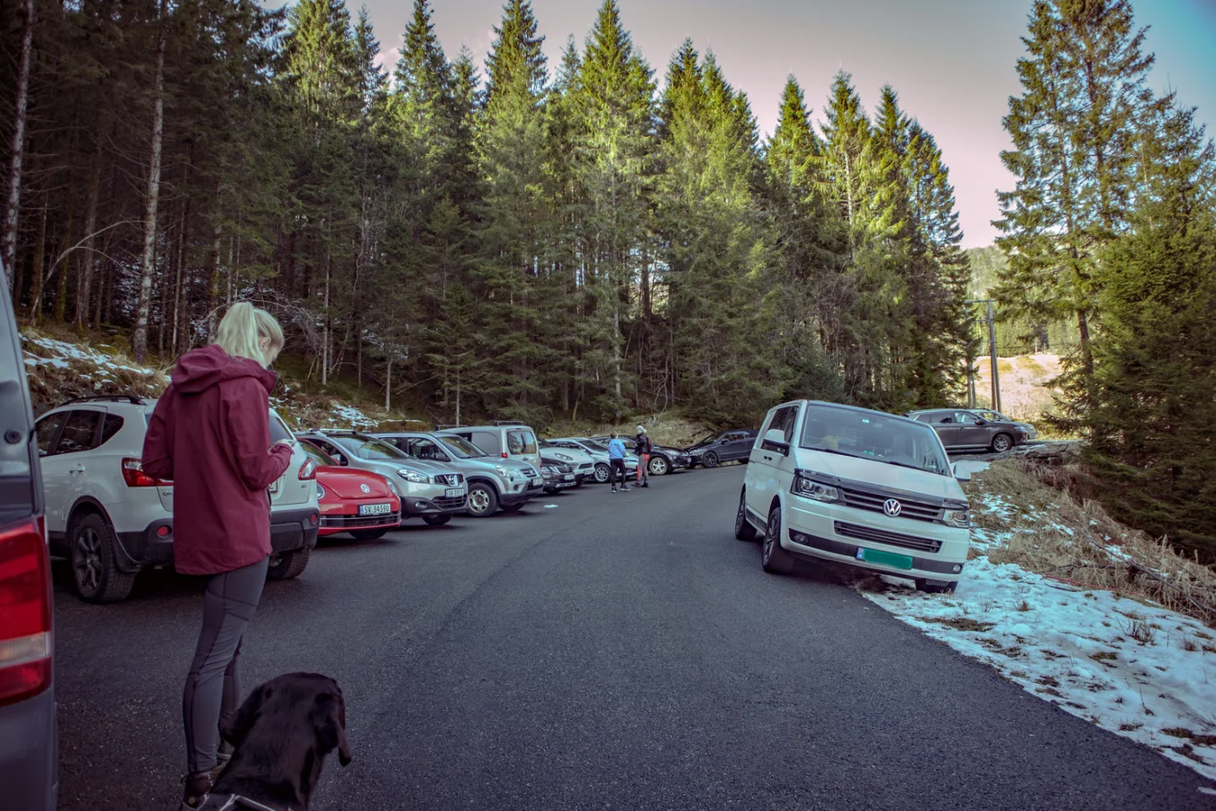
From Bergen you drive to Os. Drive down to Osøyro (Os city center) and turn left at the roundabout sign 'Eikelandsosen / Hatvik'. Drive up the hills in Hatvikvegen and turn left at the sign 'Samnanger/Lønningsdal'. Drive Hegglandsdalsvegen to the end down the steep bends along the Samnangerfjord. At the bend (bottom of the hill) turn left at the sign 'Øvredal'. Drive approx. 700 m. until you see a sign marked 'Midtsætervegen' on the left. Follow the winding road to the top. Just before the farms you will see the hiking park on the left side of the bend.
It is about 1 hour's drive from Bergen.
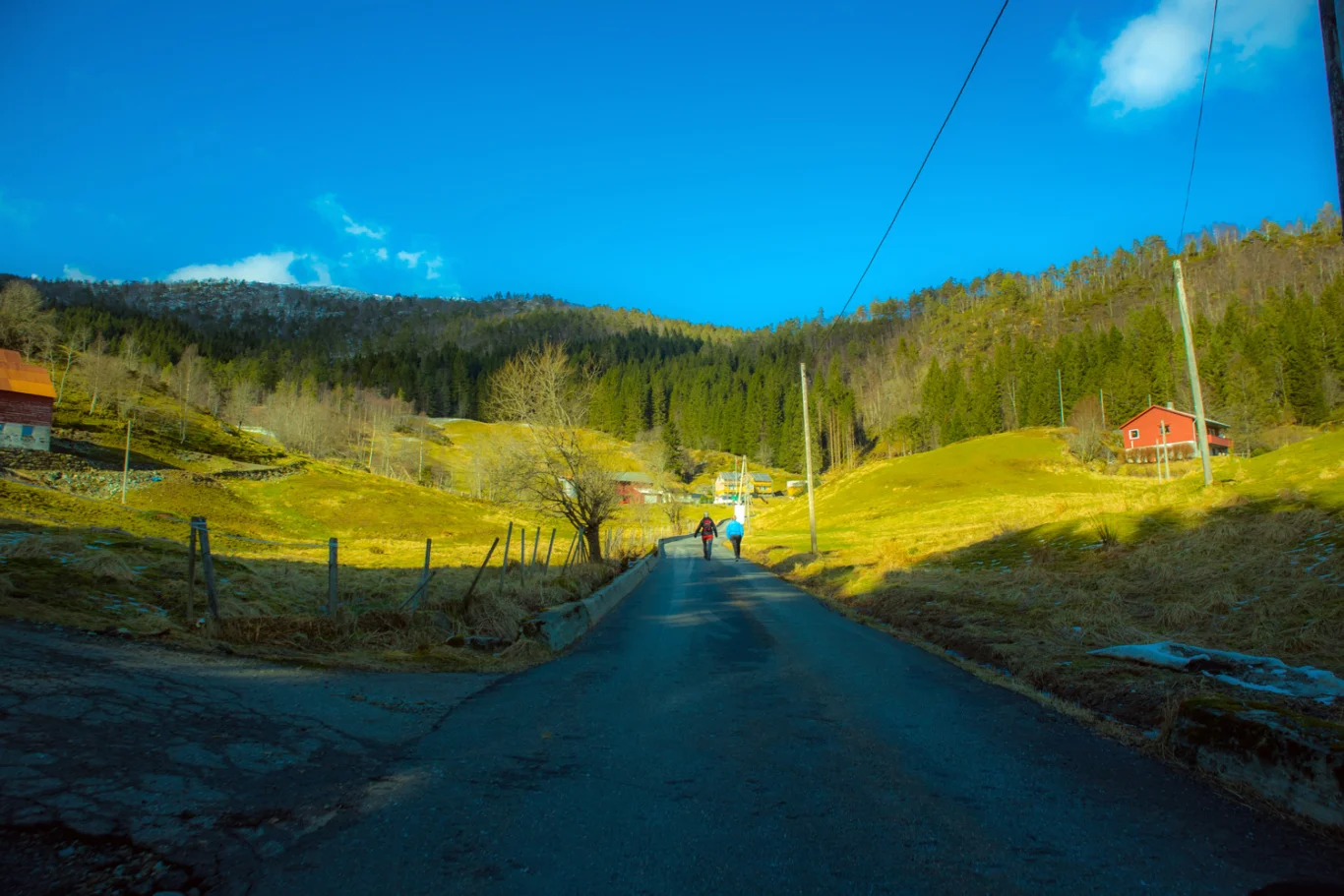
From the parking lot, walk along the paved road for about 200 meters.
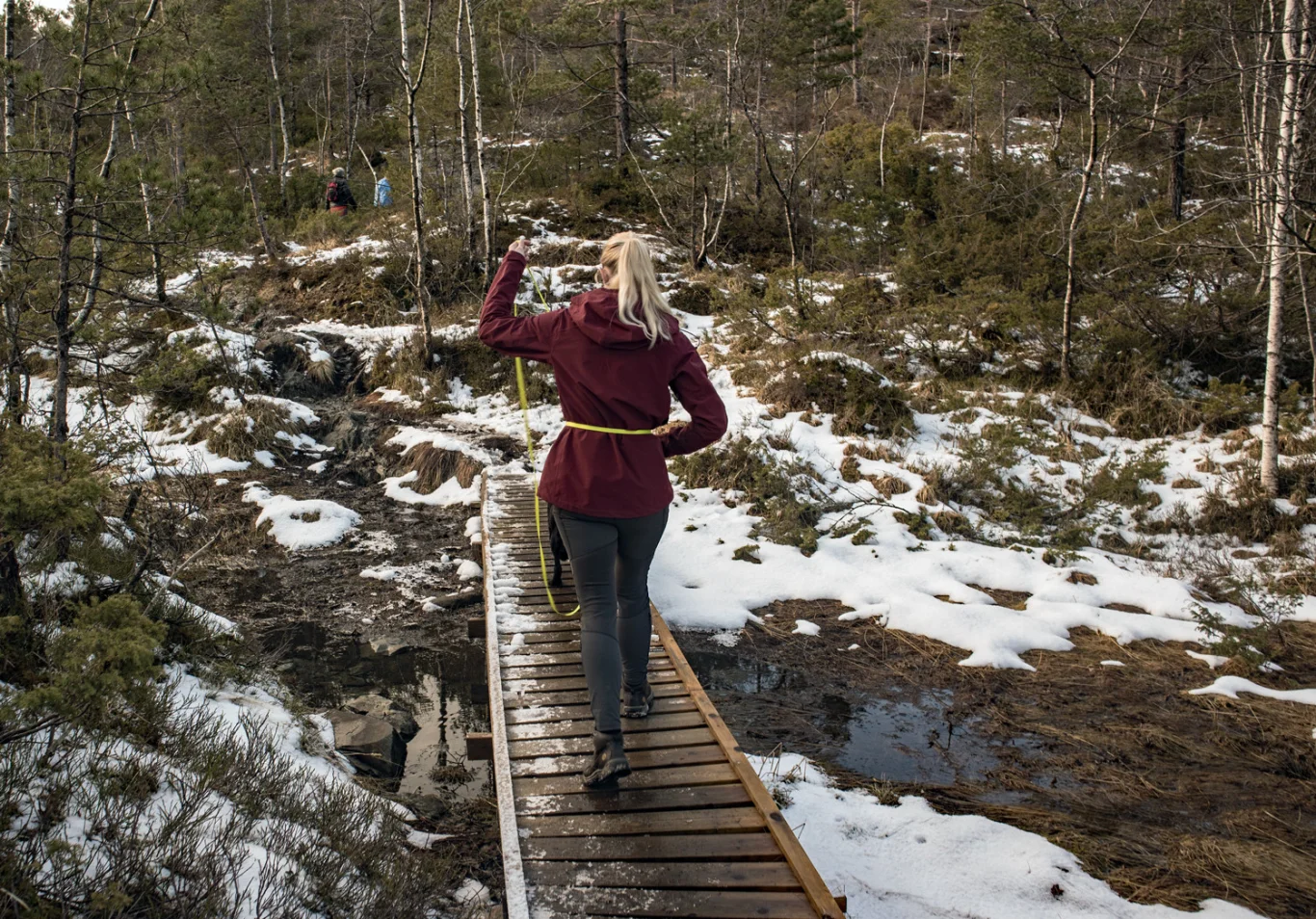
Go left through the gate and continue on the forest road that goes up the farm. Follow the forest road to the sign marked 'Midtsæterfjellet'. From here the walk turns onto a path. There is a steady climb all the way. There are also many soft parts, but Os turlag has built wooden bridges over the worst places.
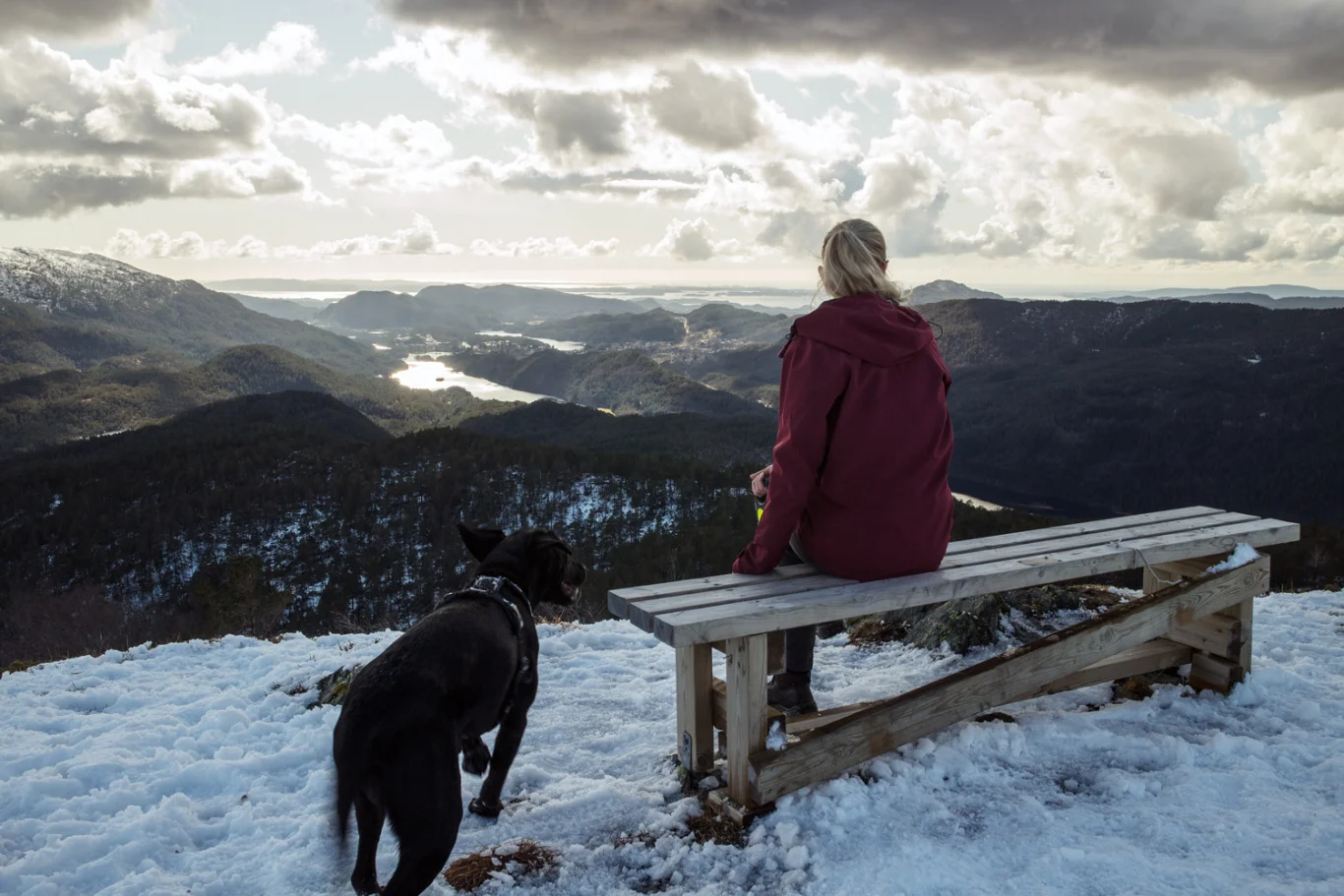
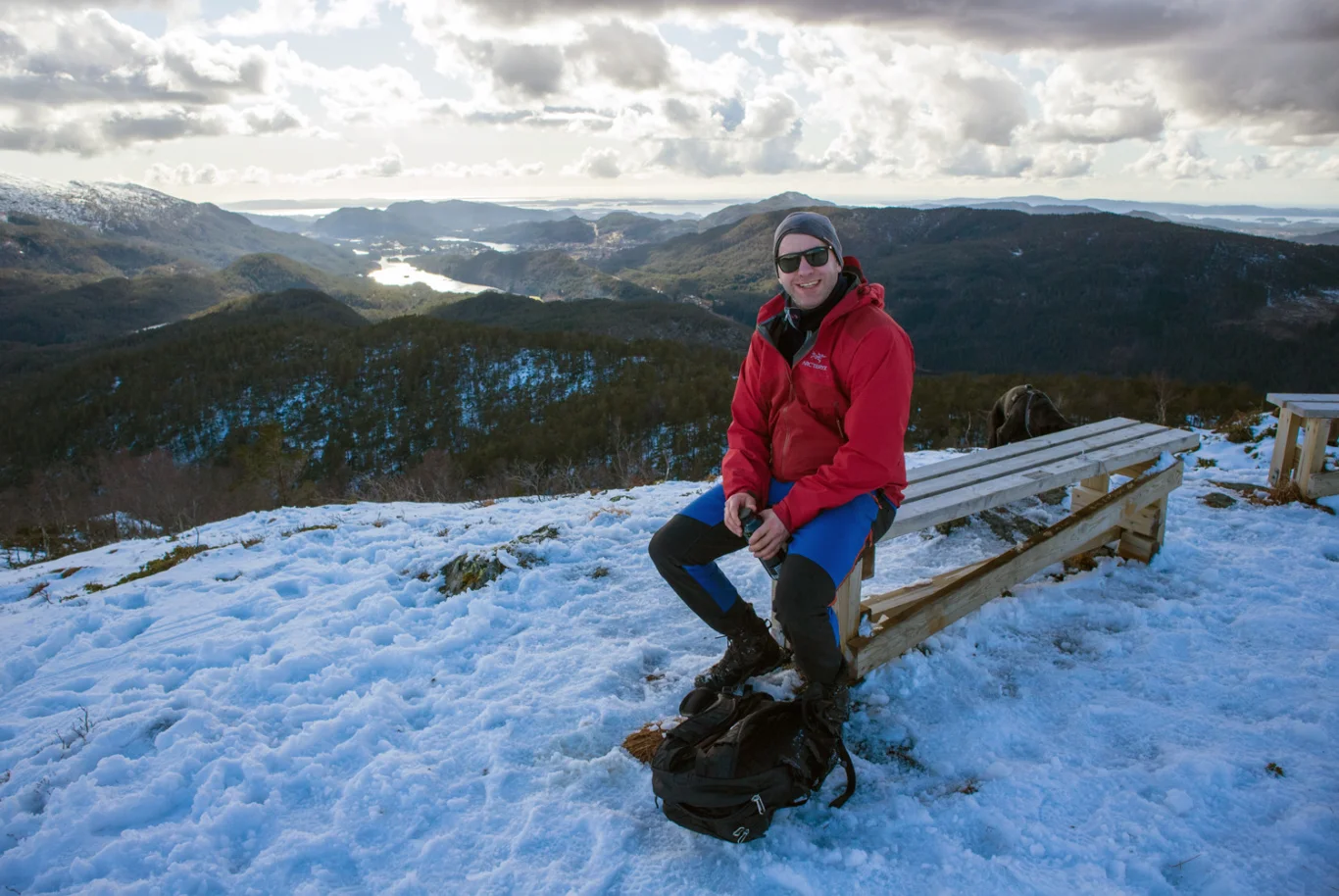
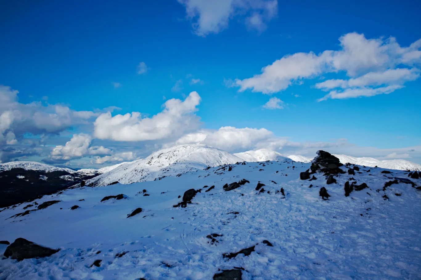
When you get above the tree line you get a view. There is a bench here where you can take a break and enjoy the view towards Os. Then follow the ridge north towards Midtsæterfjellet. The path is good and the terrain is open.
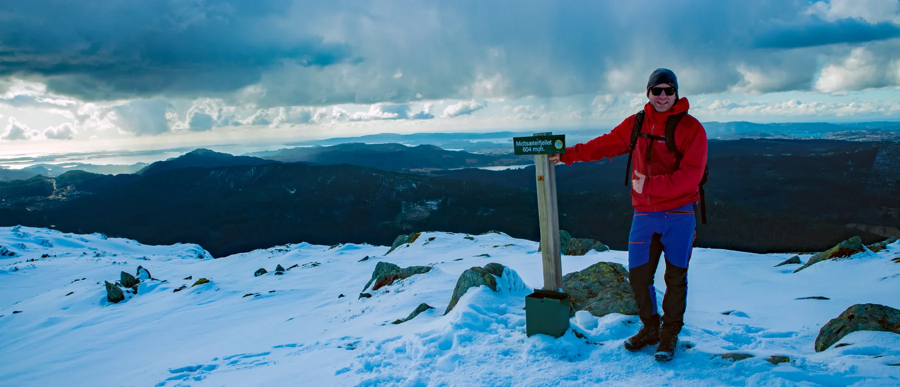
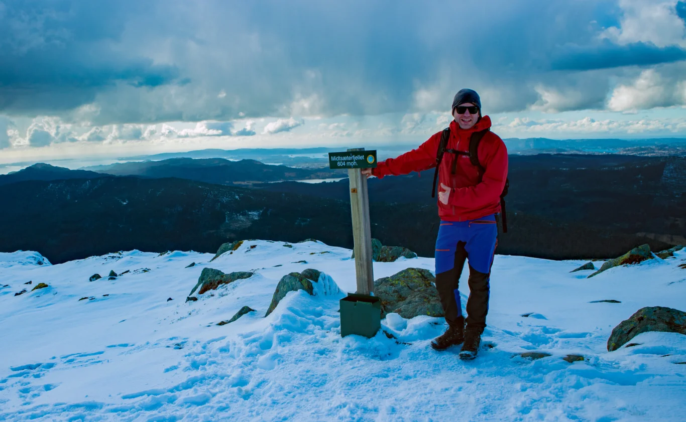
At the top there is no cairn, but a sign, mailbox and book.
Enjoy the view and return the same way. For a longer hike, you can follow the ridge north over Osvidden towards Svinningen.
Have a good trip!