Svinningen (842 m above sea level) above Os-vidden
The GPX Track is for guidance only and may contain errors. Use at your own risk.
– always check maps, weather and conditions before your trip.
Access
Parking
Description
This is the most beautiful mountain hike you can take in Os.
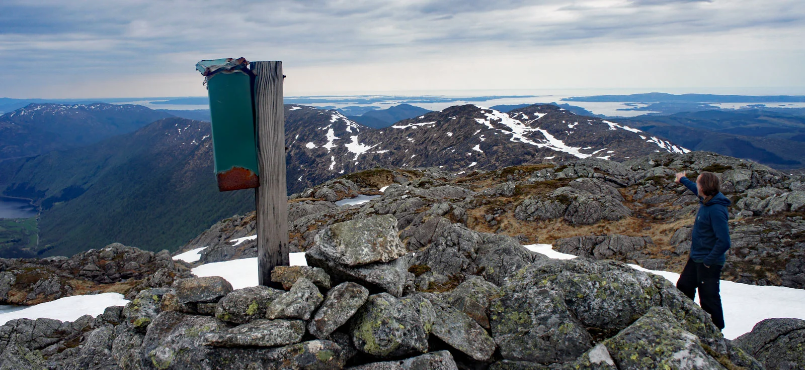
The hike starts in Øvredalen. Follow the tractor road a little inland and go left up the hill where there is a sign marked 'Svinningen'. The first part of the hike goes through forest terrain. Along the trail for the first 3 km. you will find words of wisdom and fun surprises such as the BH tree and the bench where you can have a drink. When you get past the tree line, the real ascent to the top begins. Follow the markings all the way. Svinningen (842 m.) is the highest mountain in the municipality of Os. At the top there is a 360 degree panoramic view. Fusa, Folgefonna, Gullfjellet, Hausdalshorga, and far north you can also see the city mountains of Bergen.
From Svinningen the trip continues south over Søtafjellet, Sauskolten, Rindafjellet and further down to Midtsæterfjellet. It goes both up and down. Some steep sections. All the way you have great views in all directions. This is Os municipality's answer to Vidden in Bergen. Only a little more demanding, so it is recommended that you are comfortable with hiking. Have a good trip!
Information
Søtefjellet 769 m.
Sauskolten 732 m.
Rindafjellet 715 m.
Midtsæterfjellet 604 m.
Lengde tur ca. 16,3 km.
Time: approximately 5-6 hours.
Season: spring/summer/autumn
Parking: Free parking in Øverdalen.
Processing elevation data.. .
You use GPX files that you download from our server 100% at your own risk.