
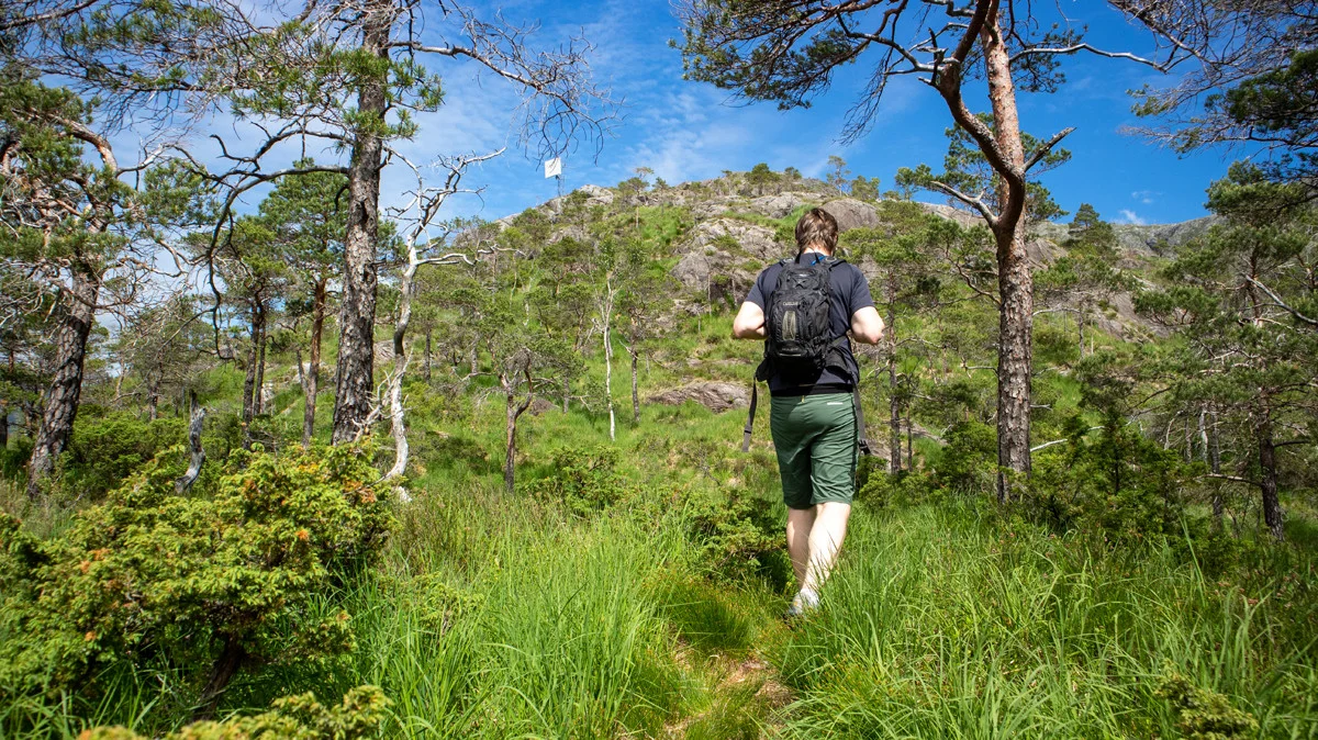
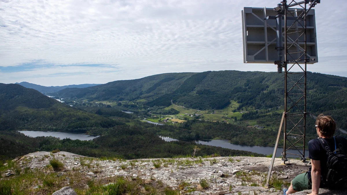
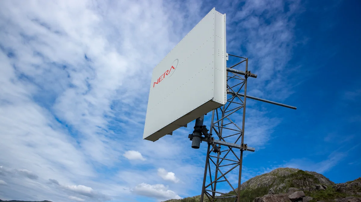
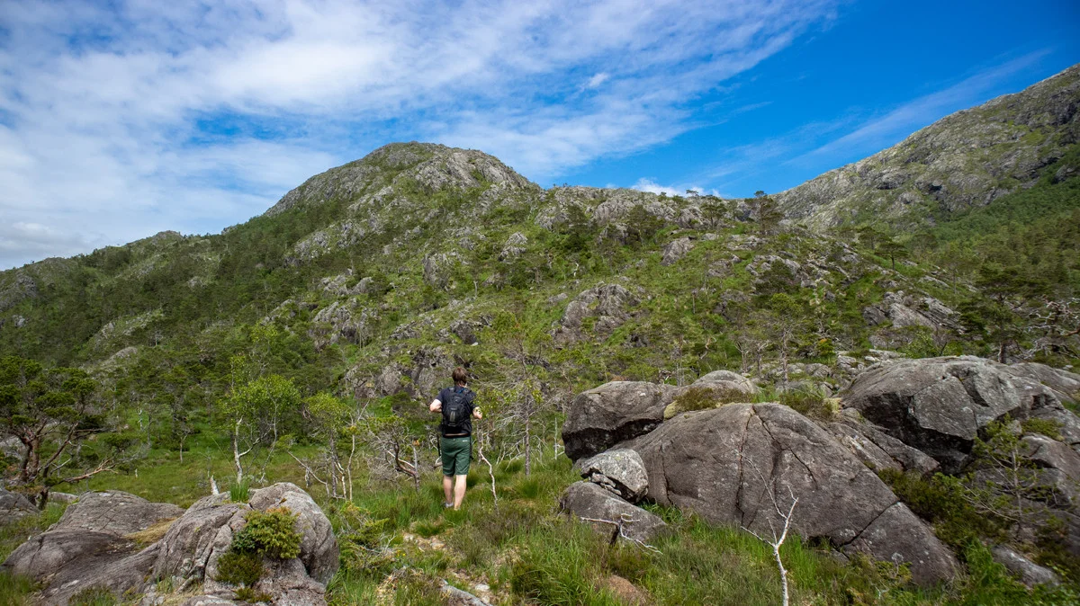
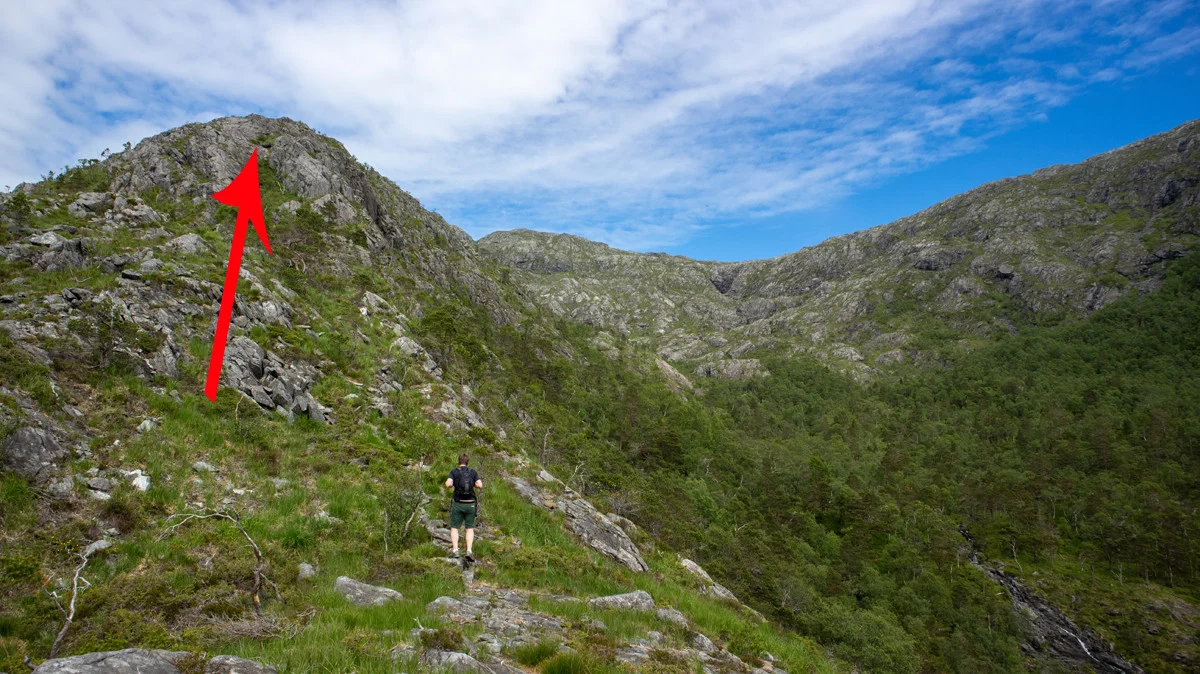
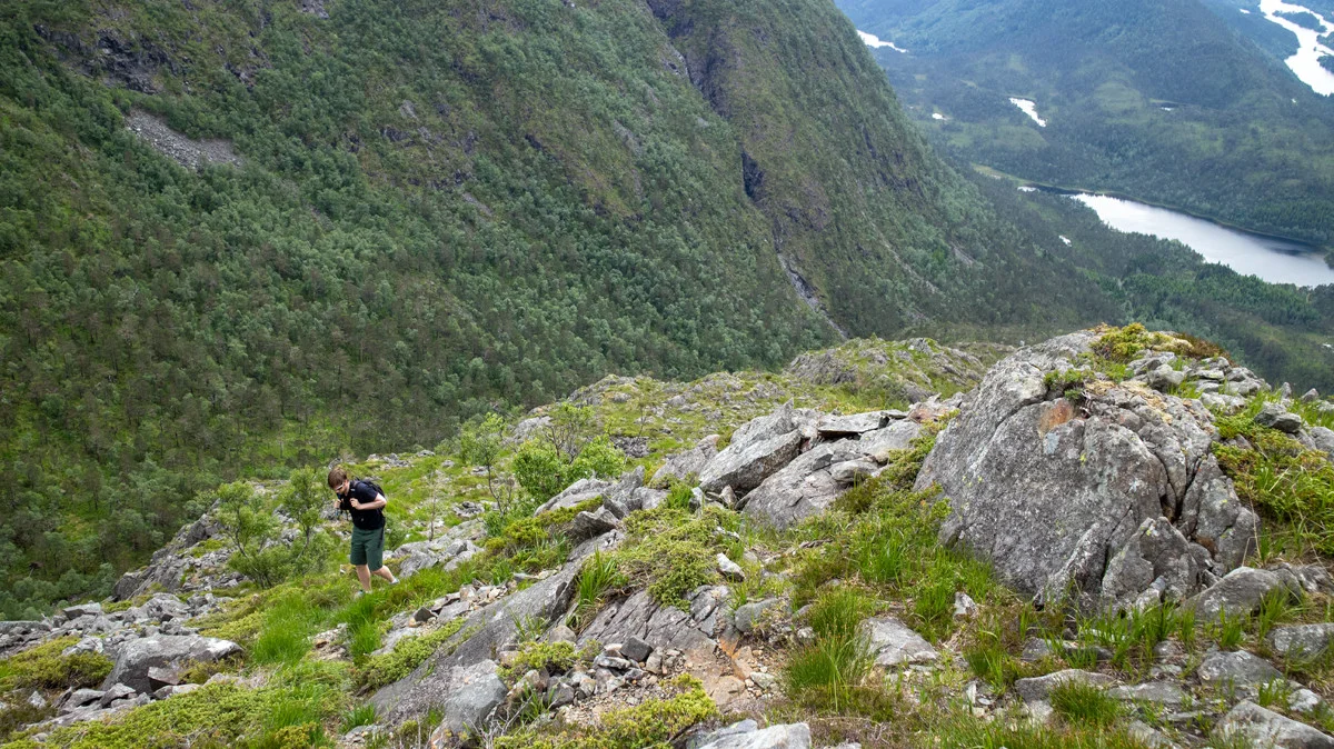
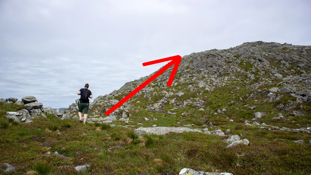
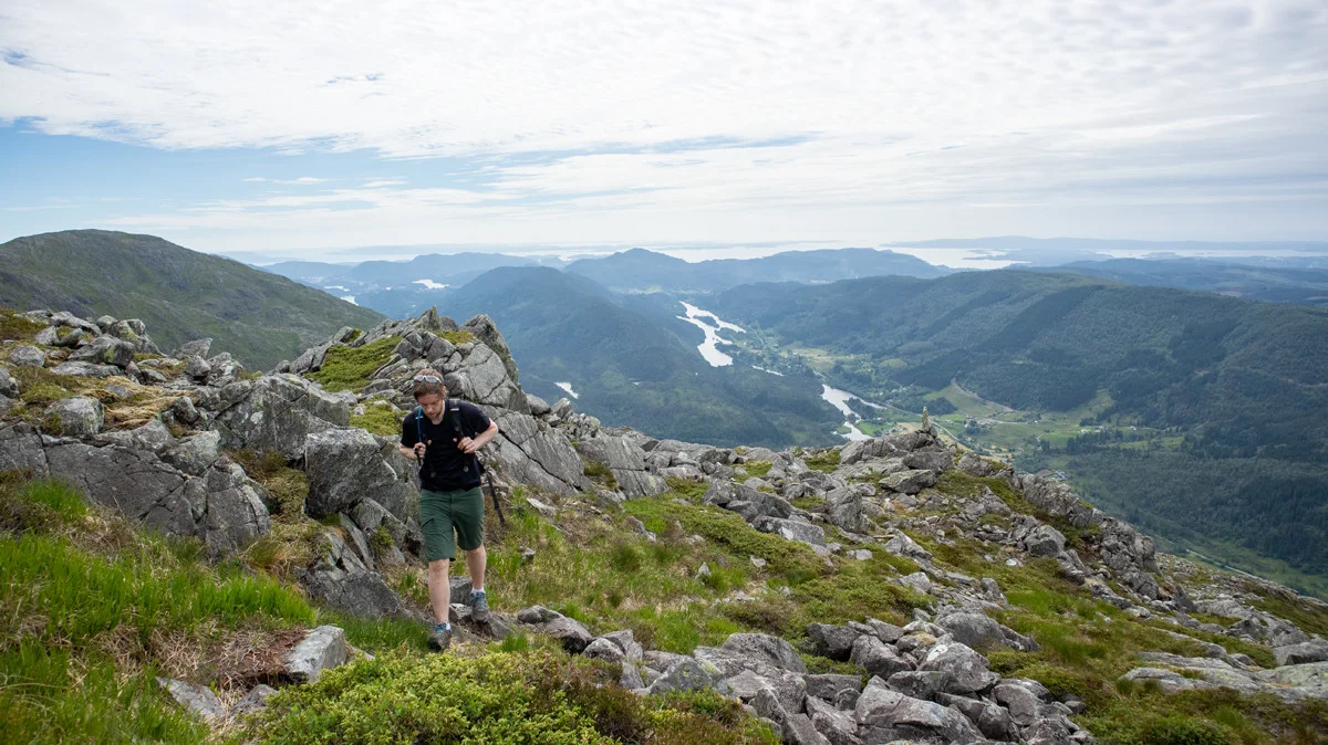
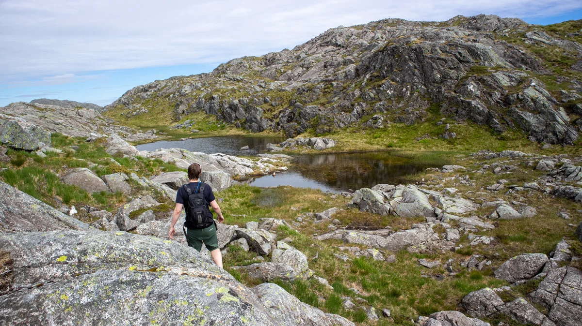
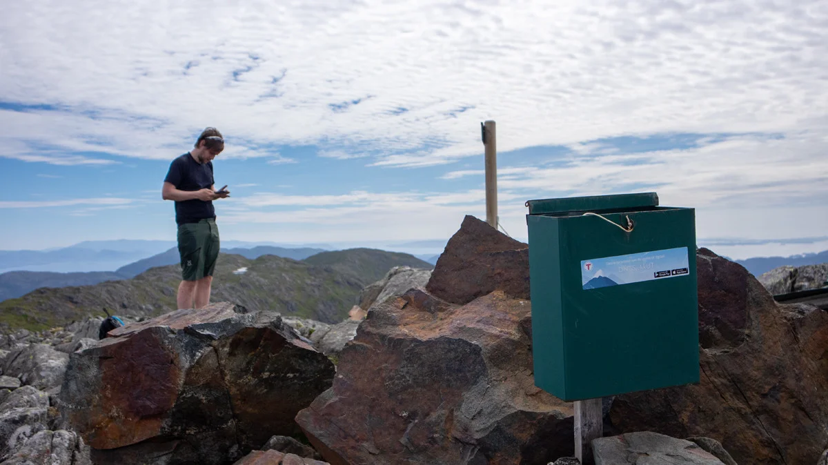
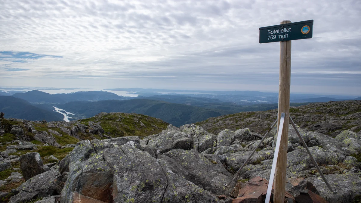
Søtefjellet (769 m) from Hausdalen
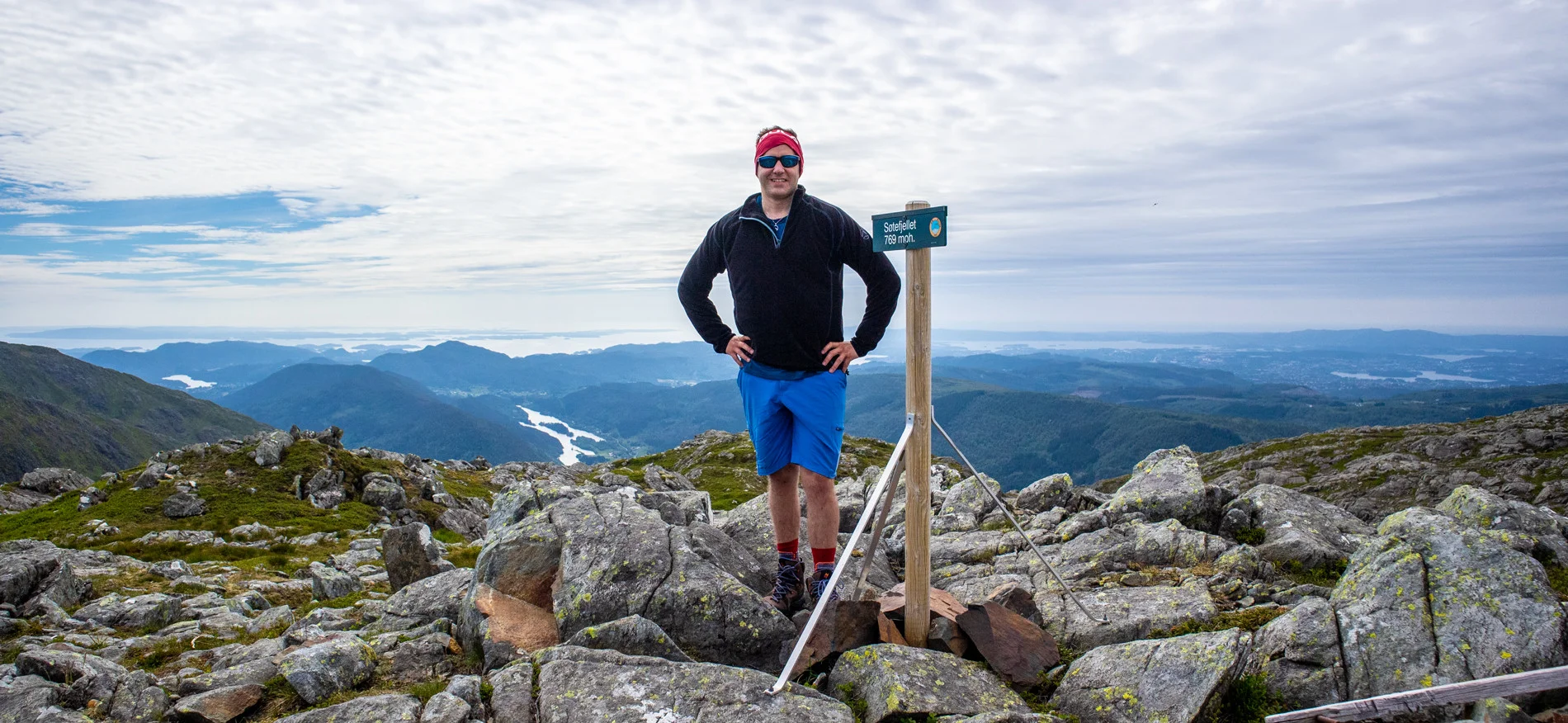
Søtefjellet (769 moh) fra Hausdalen
Photo: Admin

The GPX Track is for guidance only and may contain errors. Use at your own risk.
– always check maps, weather and conditions before your trip.

Access

From Nesttun, follow Osveien over Vallaheien and all the way to Kalandseidet. Turn left where the sign Hausdalen is. Drive into Hausdalen to Fjelltveit (approx. 7 km. inland). Turn onto the gravel road on the right. This comes to a sudden stop. We recommend using a GPS to know where to stop. If this parking lot is full, you can drive a little further along Hausdalsveien to park along the road.

Parking

There is a small parking lot at the start of the hike. Only room for 3 cars. Parking is free. If this space is full, drive further inland along Hausdalsveien and park along the road.

Description

Søtefjellet is part of the ridge that extends from Svinningen towards Midtsæterfjellet, also called Os-vidda.

The hike starts from the parking lot in Hausdalen. Follow the forest road into the forest over all the bridges. When you reach the crossroads at Ulvannet, go left (not over the bridge). Follow the forest road along the water. When the forest road ends, follow the path straight ahead (towards the mountain). The path then turns left towards the north. After a while, it turns right towards Histebotnen. You will see the river on the right.

Now begins the steep climb towards Søtefjellet. Follow the ridge that runs on the left side of the river up towards the NERA mirror and further towards Moshaugane. The path is clear and you just have to go straight ahead.

When you pass the mirror above the tree line the view becomes good. The ridge goes in a kind of roller coaster. First steep, then flat and then steep again. At around 575 m. above sea level it flattens out and the climb becomes more even.

The path from here is worse, but it is marked with cairns to the top. Follow the ridge to the north-east. Just before the top there is a false peak and you have to go down into a dump before a short climb to the main peak. You can see the sign from a good Distance .

At the top there is a sign and an old mailbox with a book that has seen better days. The summit itself looks like a battlefield, but the view is top class. Here you can see Svinningen (the summit), Bjørnafjorden and Folgefonna.
If you look in the direction of Bergen, you will see Ulriken and Rundemanen.

Return the same way.

Enjoy.

Information

Søtefjellet (769 m.)
Length of the round trip: approximately 10 km.
Ascent: approximately 700 meters.
Season: April - Nov. Depends on the amount of snow.
This hike is steep. It is comparable to Hausdalen from the South Pole, but with a slightly shorter ascent. It is recommended that you are in good shape and have good shoes.
Grading: Demanding

Processing elevation data.. .

You use GPX files that you download from our server 100% at your own risk.

Accommodation nearby

Hiking nearby