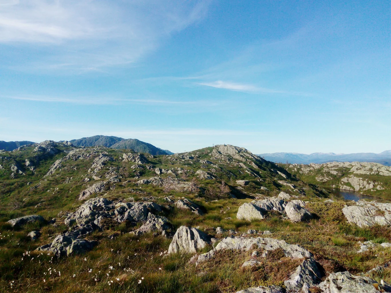
Gråfjellet (487 m) from Lønningdal in Os
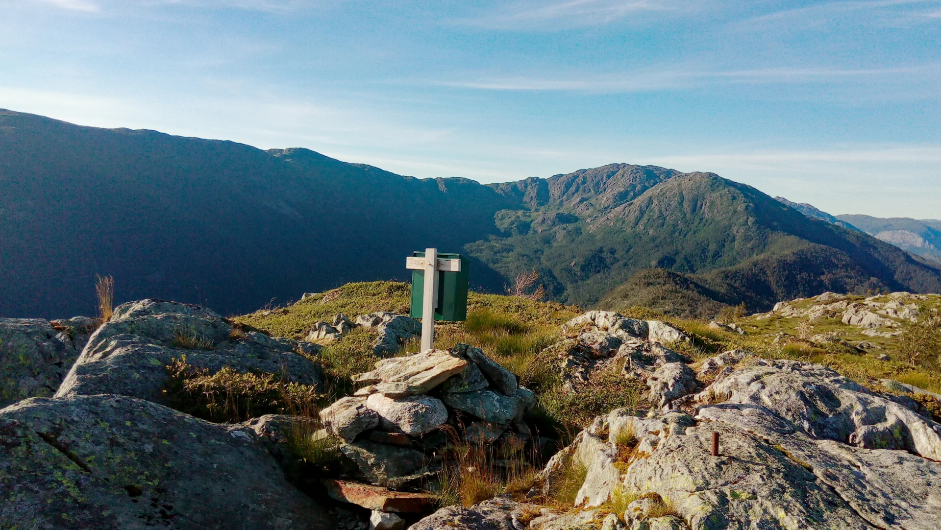
Photo: Admin
Information
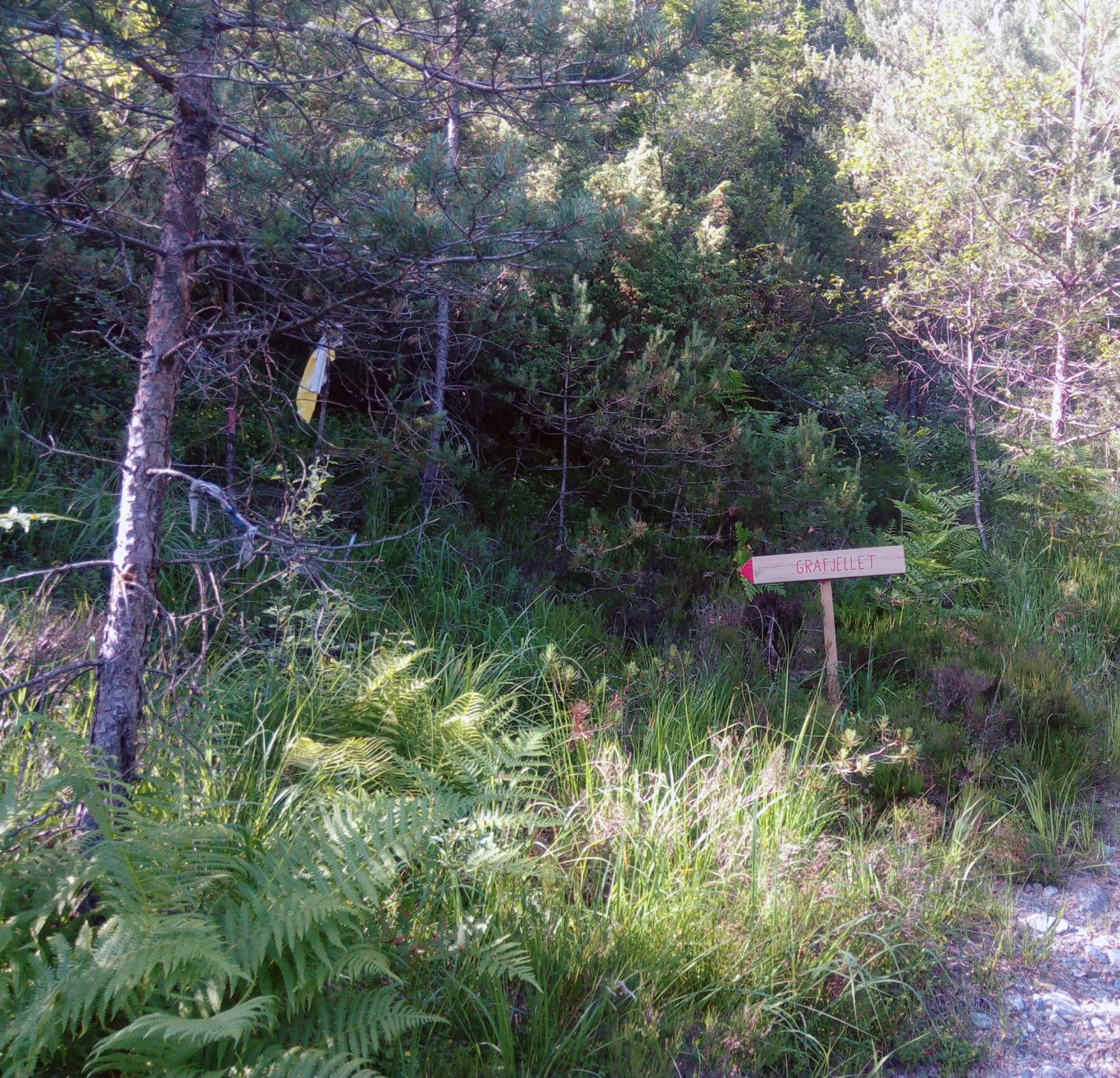
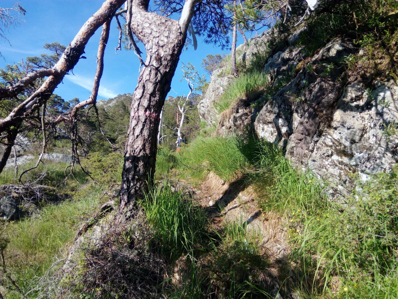
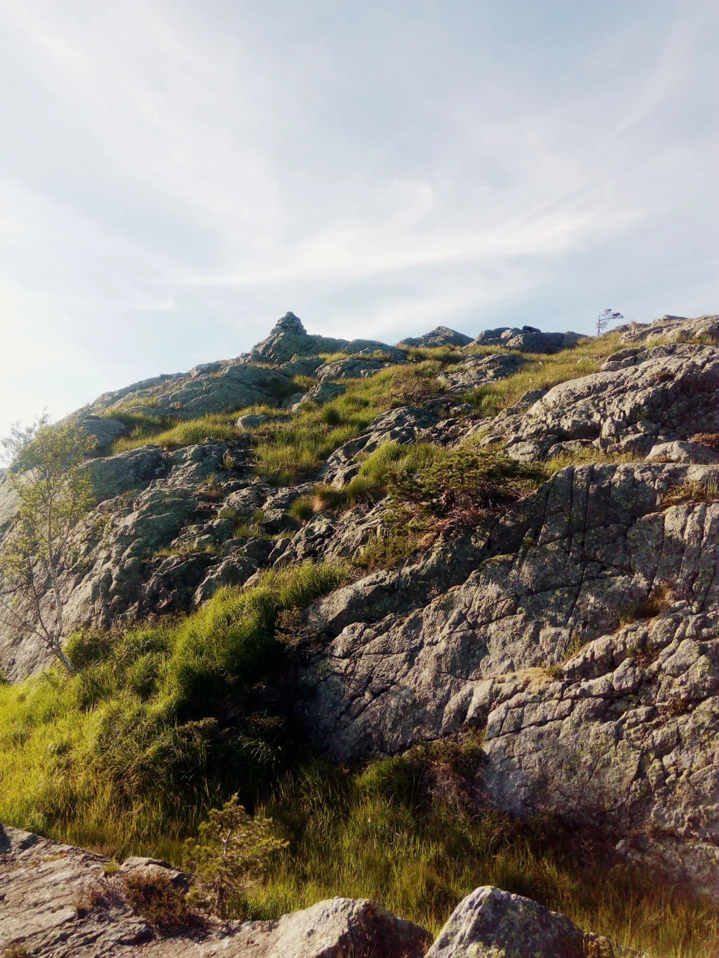
Gråfjellet (487 m.)
Length: approx. 5 km round trip
Time: about 3 hours round trip
Season: All year round.
Length: approx. 5 km round trip
Time: about 3 hours round trip
Season: All year round.

Processing elevation data.. .
You use GPX files that you download from our server 100% at your own risk.
Accommodation nearby


Hiking nearby


Distance
5.14 Km


Distance
5.56 Km

