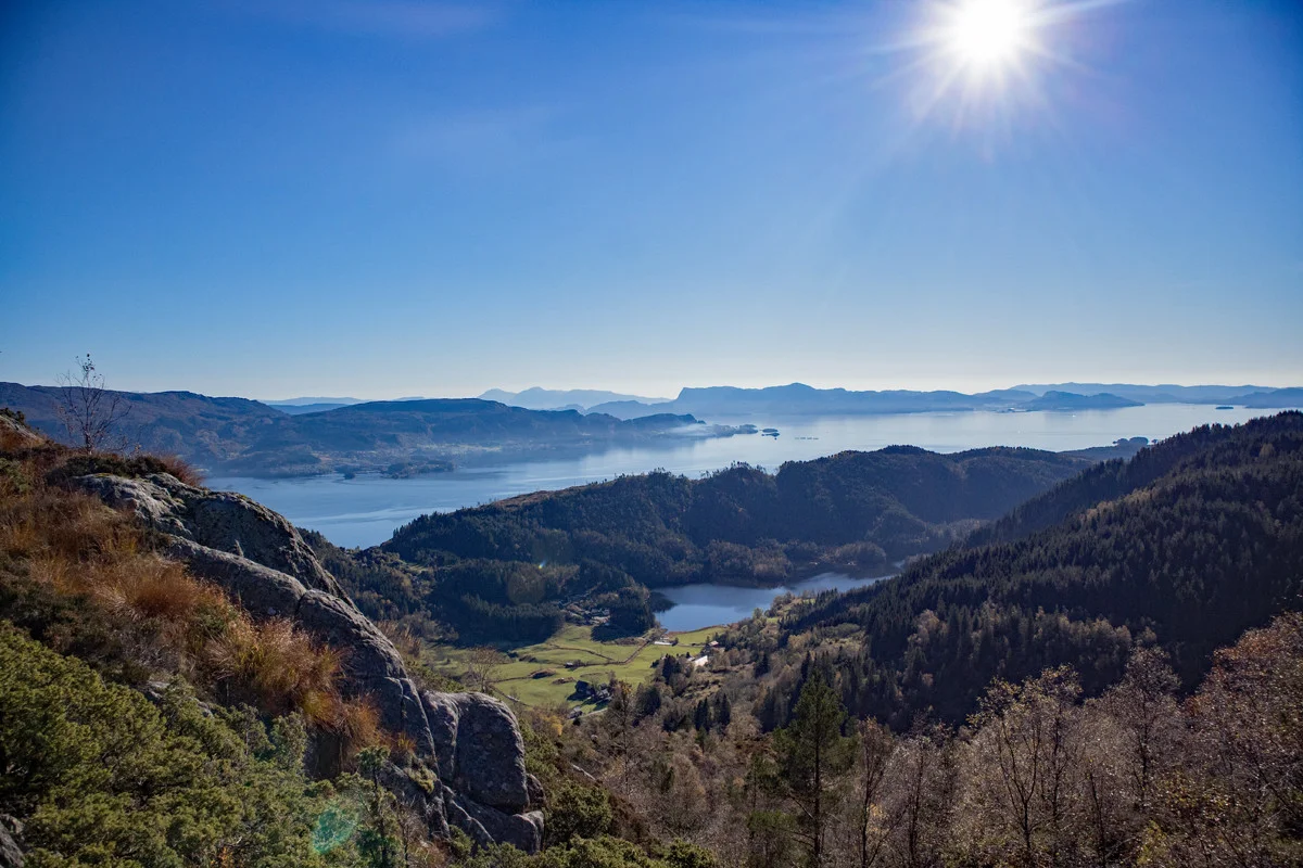
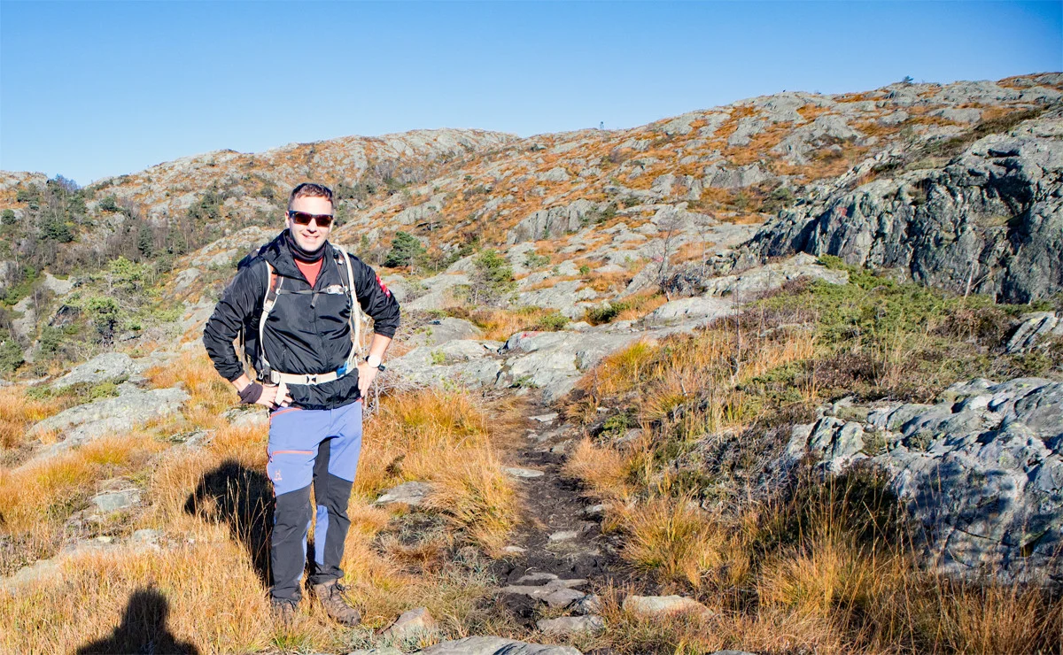
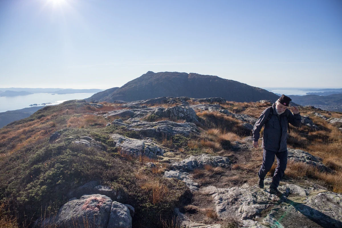
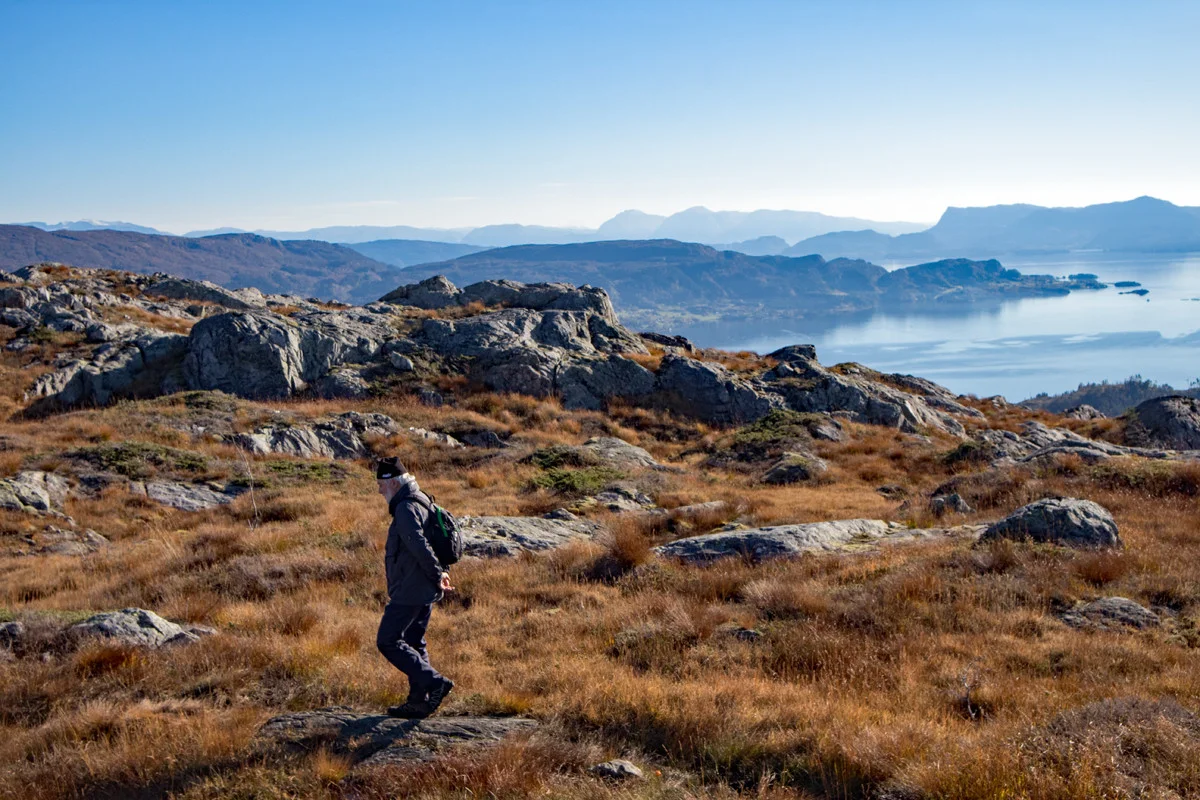
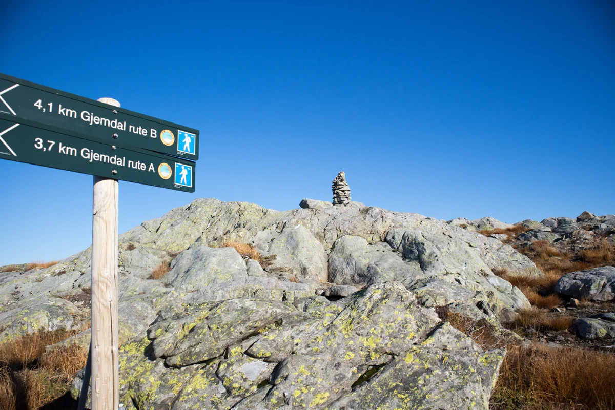
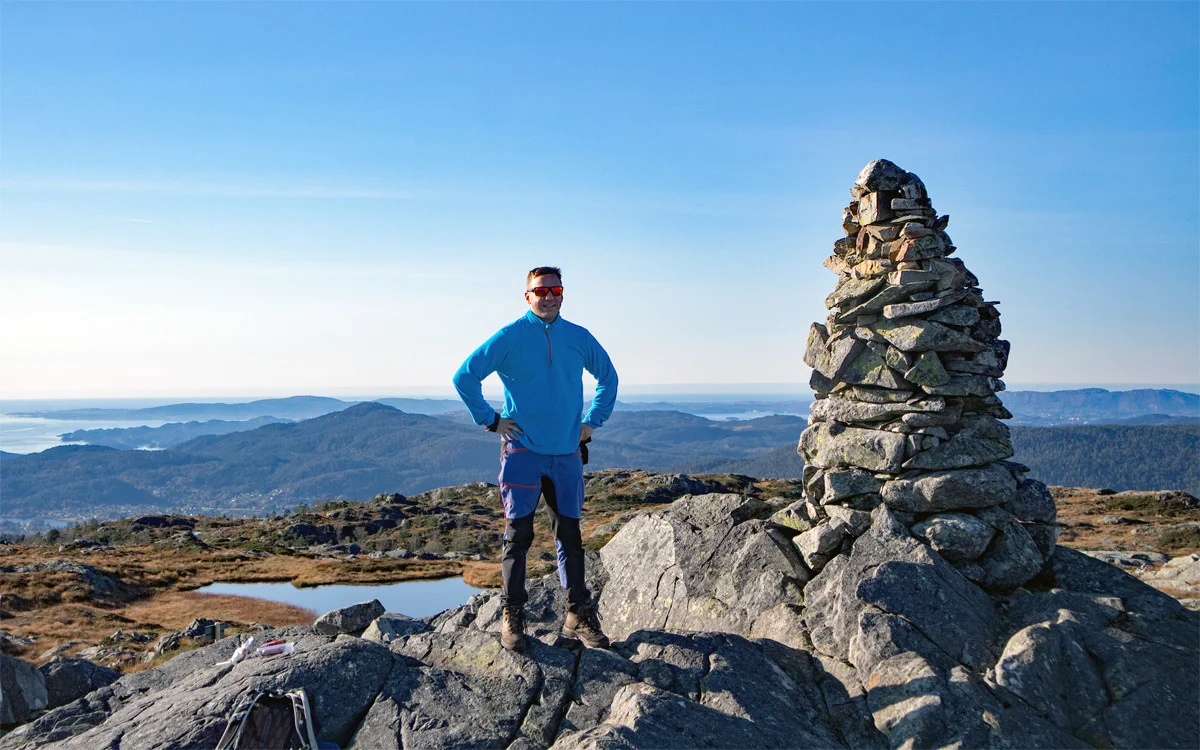
Rødsfjellet (526 m) in Os
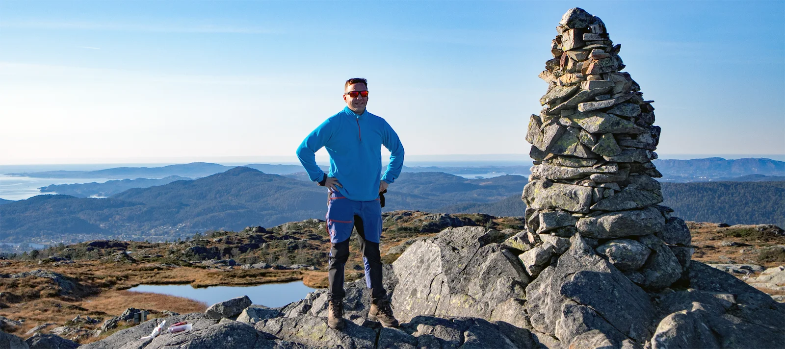
Photo: Admin

Processing elevation data.. .
You use GPX files that you download from our server 100% at your own risk.
Accommodation nearby


Hiking nearby

Hot
Distance
2.56 Km


Hot
Distance
4.41 Km


Distance
4.71 Km


Distance
4.78 Km
