Mountain hike to Nordra Såta (410 m above sea level) from Tøsdal
The GPX Track is for guidance only and may contain errors. Use at your own risk.
– always check maps, weather and conditions before your trip.
Access
Parking
Description
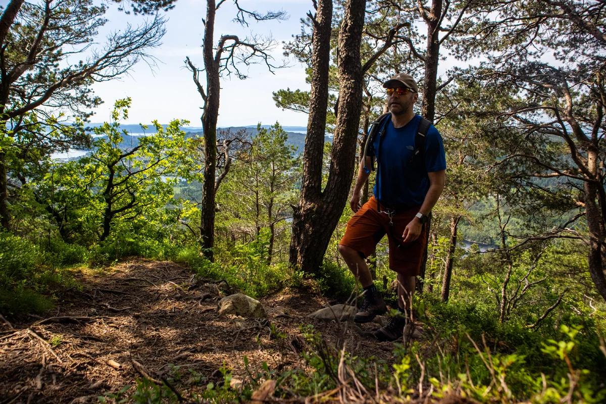
This little-visited peak is a hidden treasure in Os that offers fantastic views. From the parking lot, follow the road inwards towards the mountain. Use the ladder over the gate and cross the river. Follow the path up the hill and across the pasture. Then take the path to the left where there is a sign 'Linken'. From here the path goes steeply up the mountainside to Linken 479 m above sea level. From the parking lot to the summit it is approx. 1.9 km.
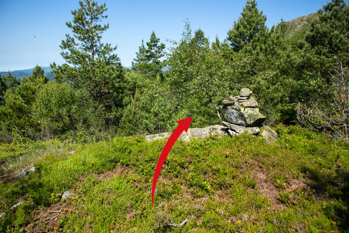
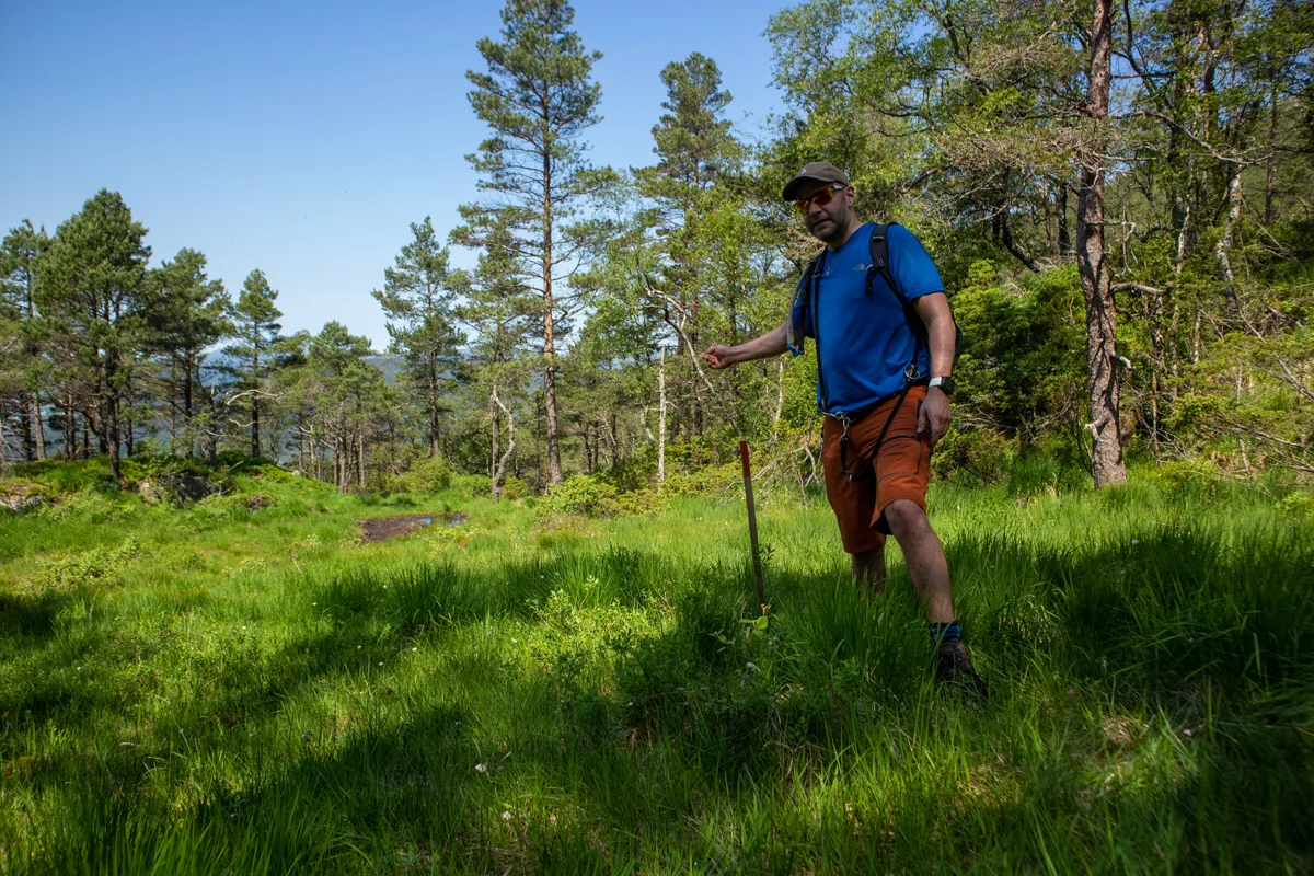
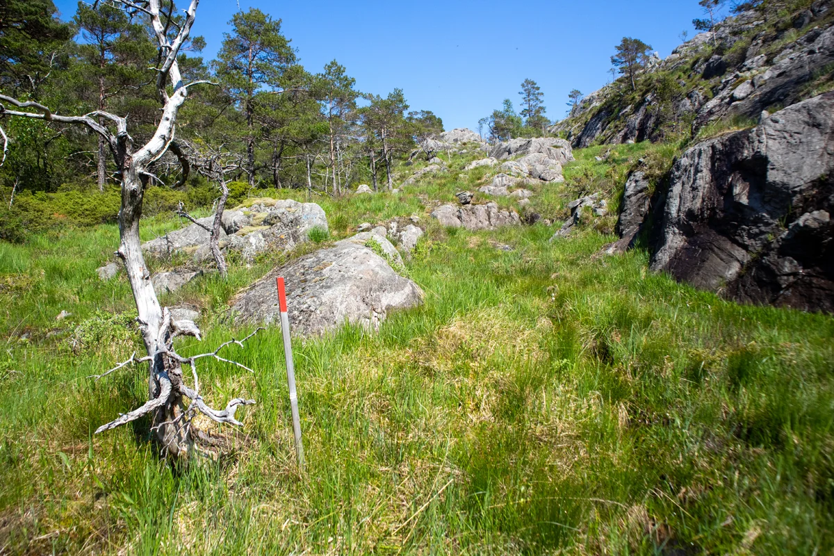
However, you should not go all the way to the top. Follow the path about 1 km up the mountainside. At 375 m. above sea level there is a flat section with a wooden bridge at the end. At the beginning of this you can see a small stone cairn on the left. Go to this and continue down the hill. Then you can see red-painted wooden sticks. Follow the wooden stick through the forest until you come down to the bog.
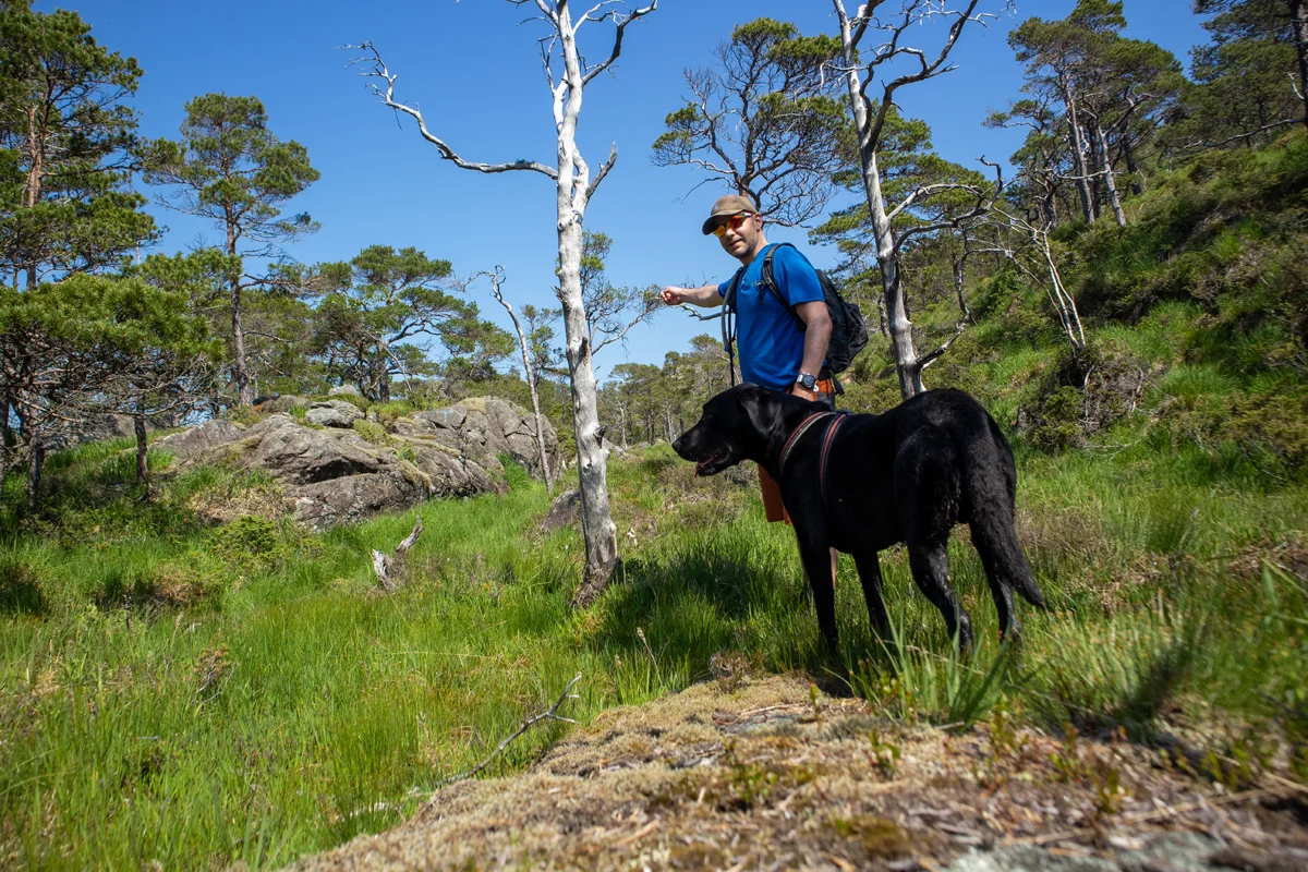
These wooden pegs are marked all the way, but in some places they can be difficult to spot, so take your time if you are unsure. At the start you walk north parallel to Tøsdals fjellet in the marshes. In some places the path is good and at other times it resembles animal tracks.
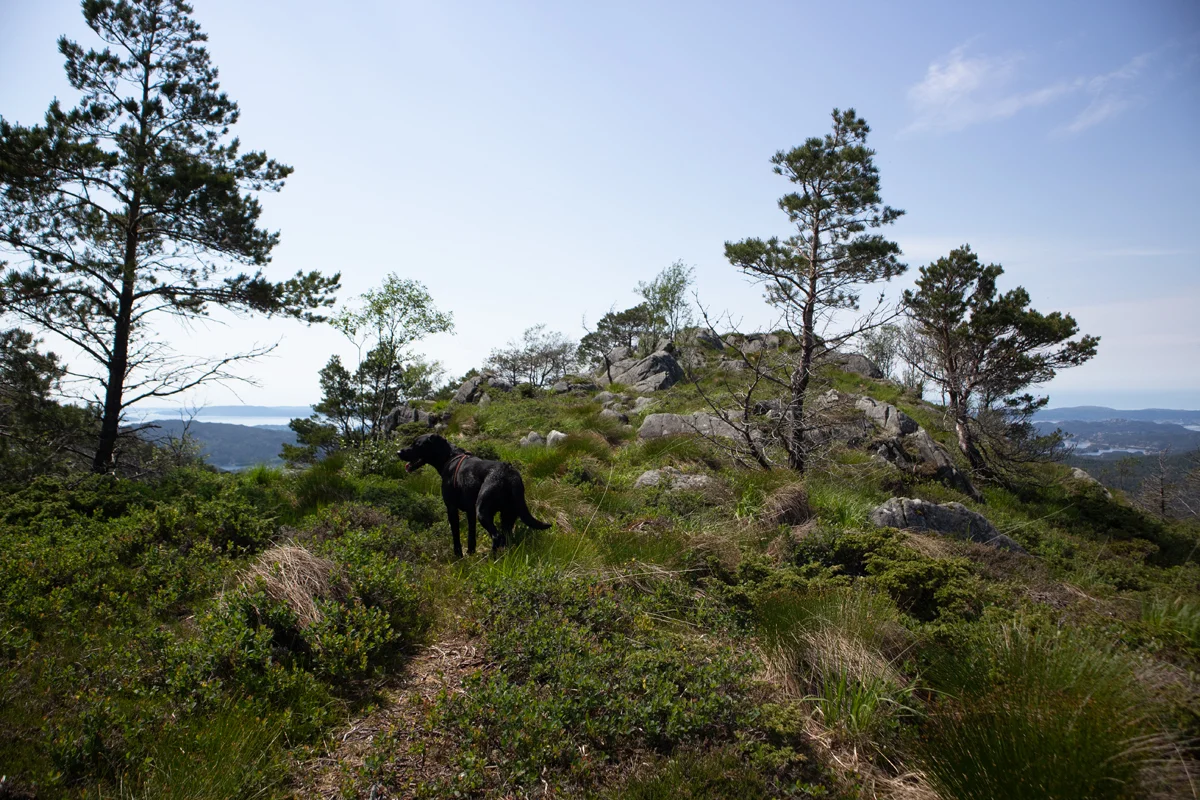
At Gratbotnen the path turns to the north-east and there is some ascent along a long cliff. The last part goes through a long stretch of bog before you can see Nordra-Såta on the left side. Now the markings end. But continue further north to go up Norda-såta from the back. When you have reached the ridge, go back to the south-west and you will come to the sign and the viewpoint.
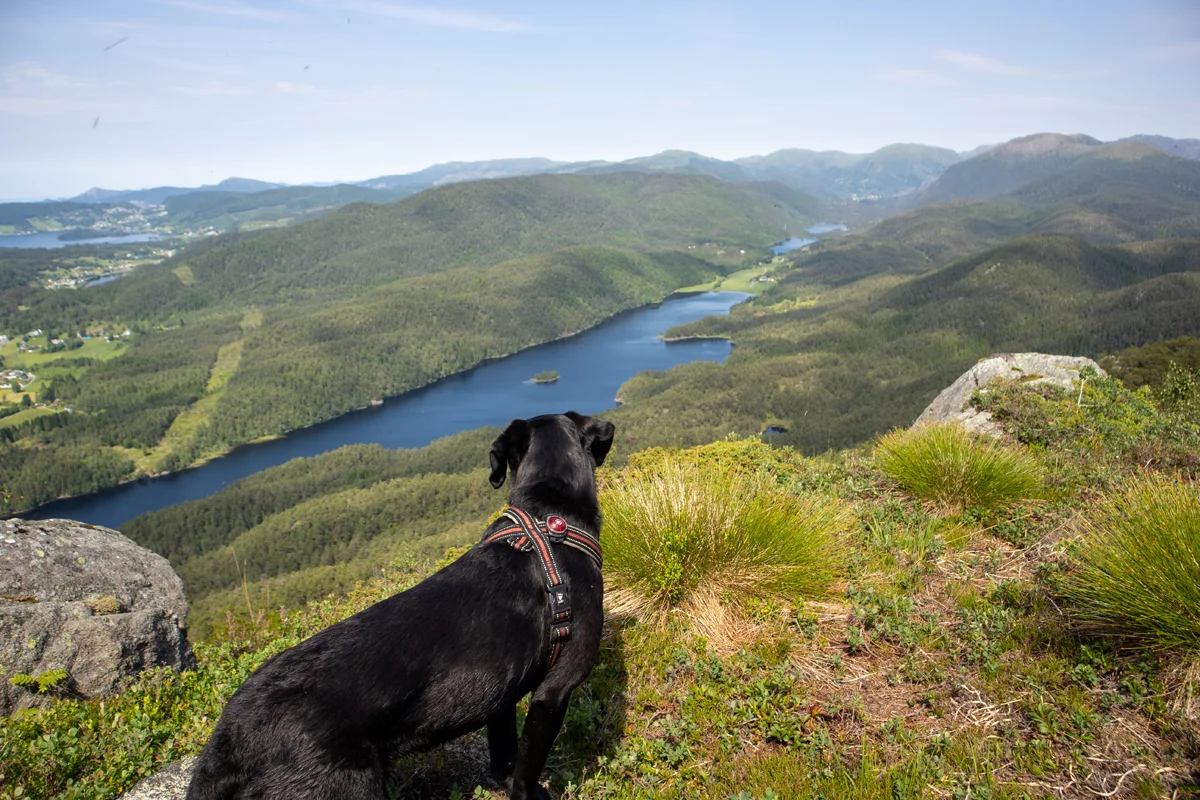
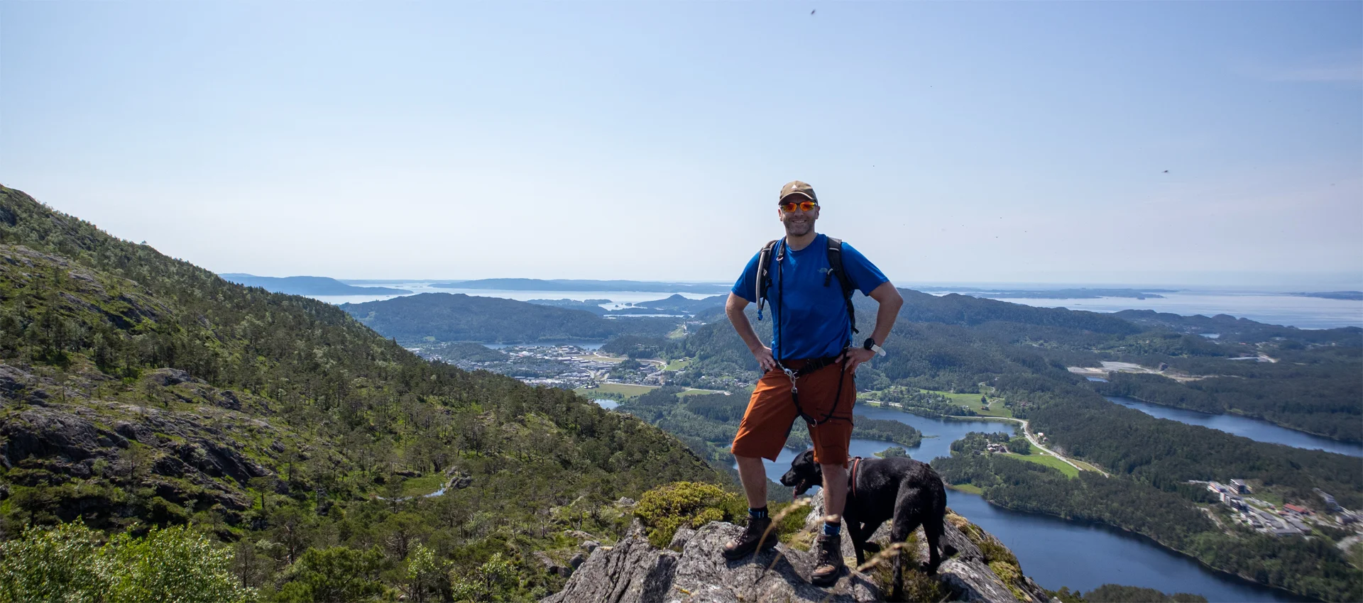
Here there is a panoramic view towards Søfteland and Os. The water in the background and the narrow ridge provide a starting point for great photos.
Return the same way.
Information
Time: 2-3 hours round trip.
Season: All year round.