Borgafjellet (353 m) via Haggardslia in Os
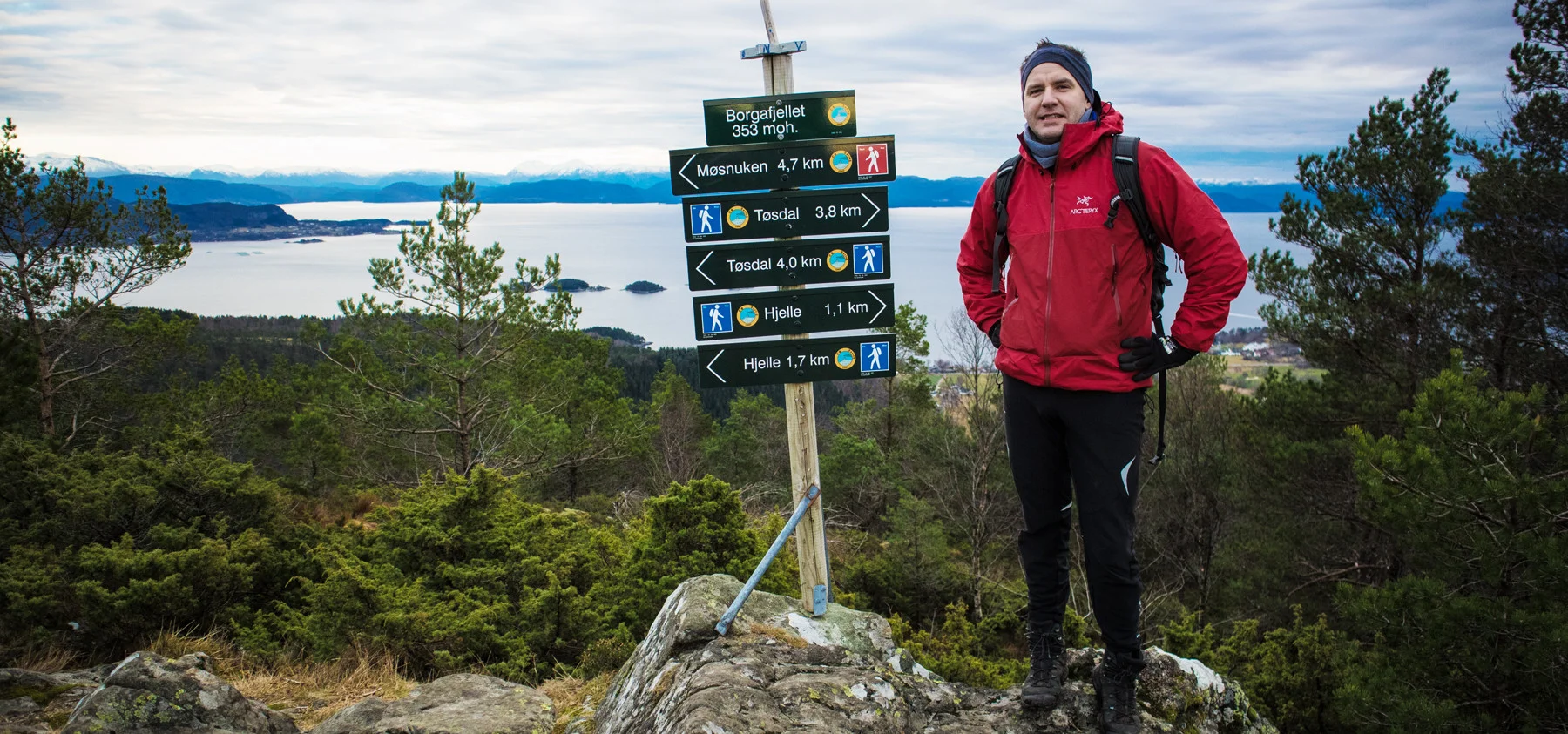
Borgafjellet (353 moh) via Haggardslia i Os
Photo: Admin

The GPX Track is for guidance only and may contain errors. Use at your own risk.
– always check maps, weather and conditions before your trip.

Access

From Bergen city center, drive to Osøyro and continue towards Hatvik. Drive left into Hegglandsdalen (signposted Samnanger), over the bridge and left into Borgaveien. Drive to the end of the road and right into Hjellevegen.

Parking

There is free parking along Hjellevegen.

Description

This route to Borgafjellet is somewhat longer than the one that goes straight up from Hjelle.

The walk is more on the road and the path is better.

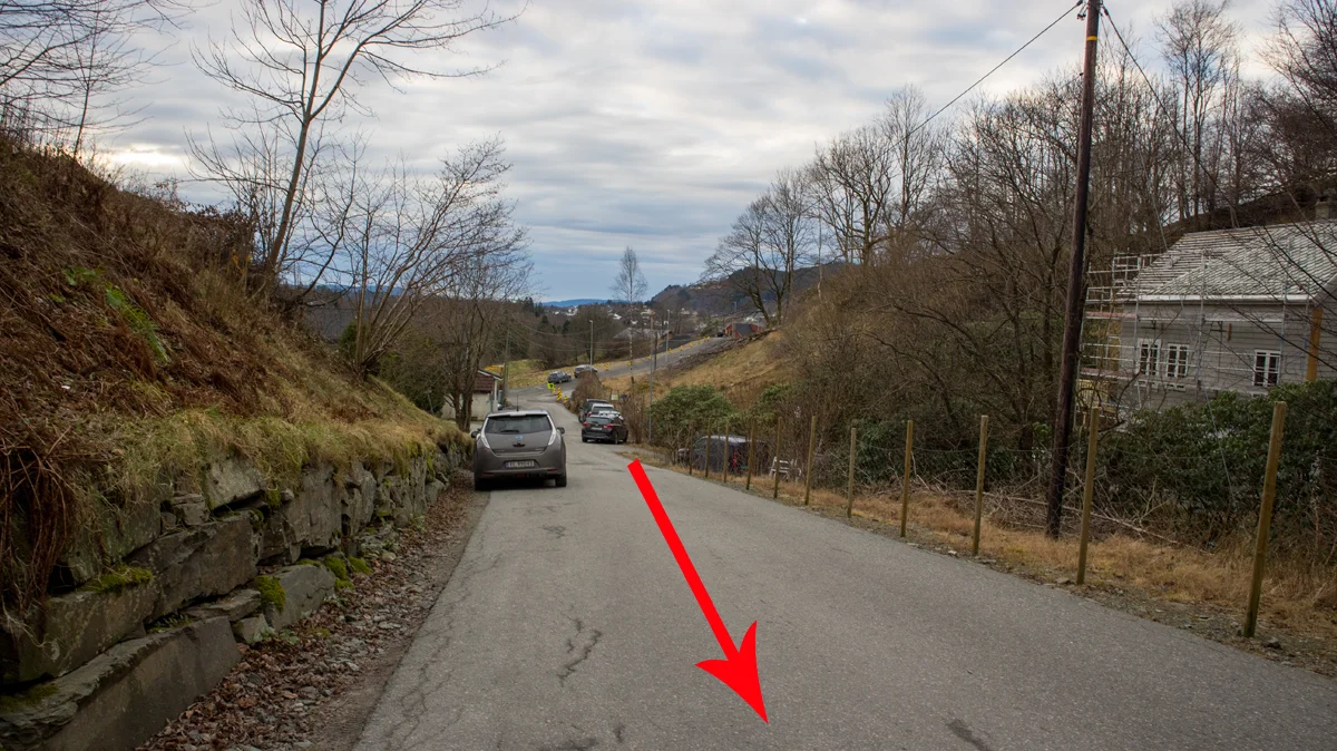
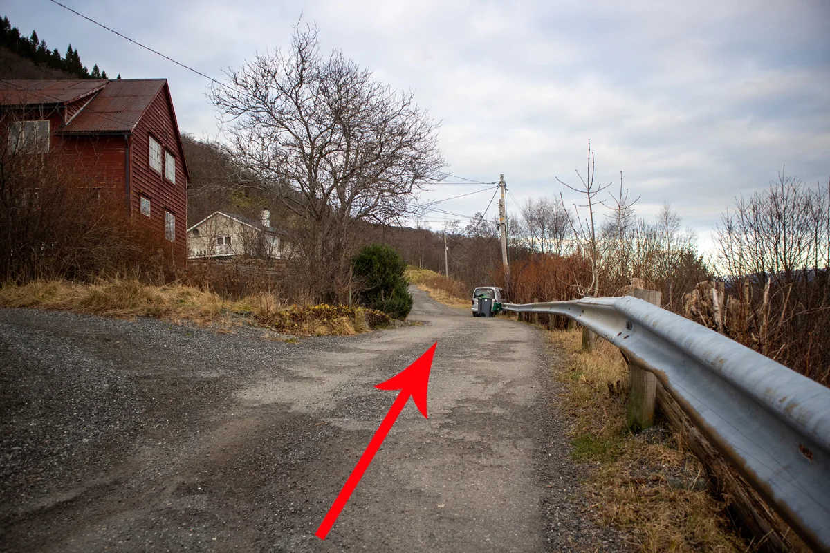
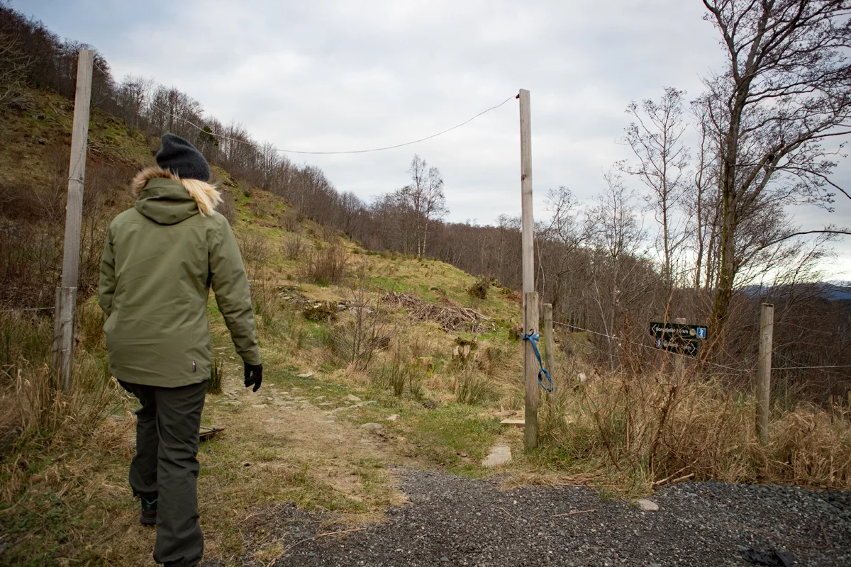
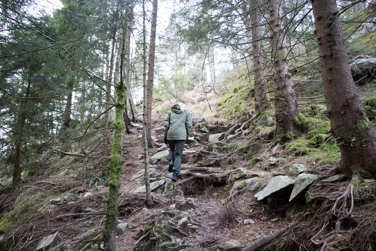
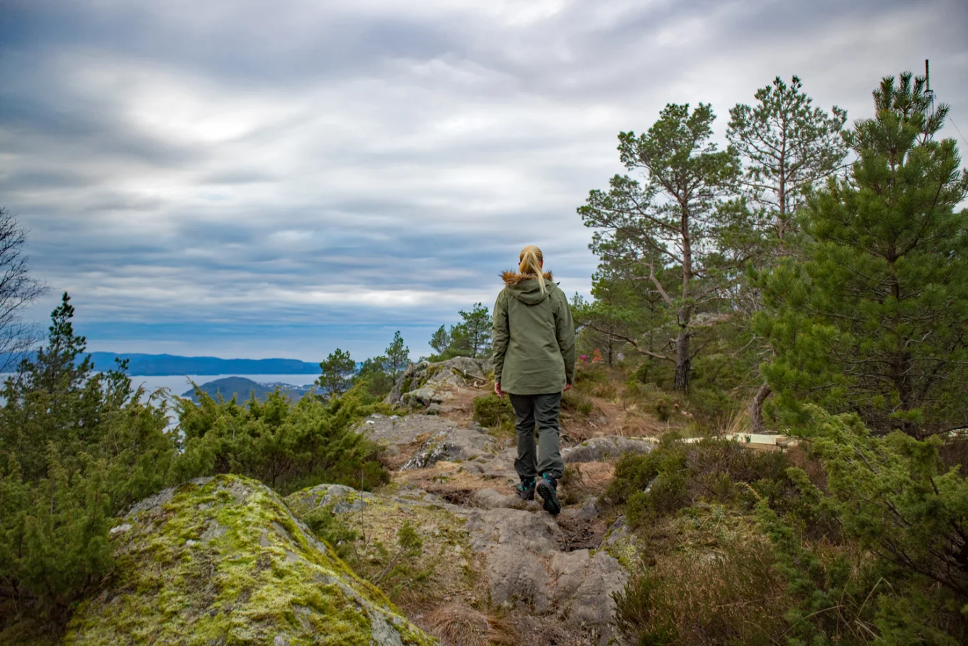
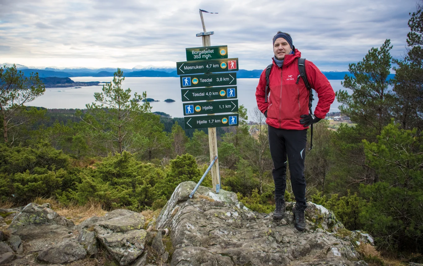
Go up the hill to the end of Hjellevegen. Here the asphalt road turns into a gravel road. Go to the end and continue onto the path where there is a sign 'Borgafjellet'. Follow the path until you see an old wooden sign marked 'Borgafjellet'. From here the path goes steeply up to the left further over pastures. From here you just follow the path through a spruce forest and further up the slope. There are some steep sections here, but the path is good. At the top you follow the path to the left to the viewpoint. Here is a new day trip cabin and a great view of Bjørnafjorden.  

Go down the same way. For a loop you can go directly down to Hjelle via the mast. The latter is the most used route up and down.

Recommend winter boots.

Have a good trip!

Information

Borgafjellet (353 m.)
Length round trip approximately 3.4 km.
Round trip time: approximately 1-2 hours.
Season: All year round. Stings in winter.
Grading: Simple

Processing elevation data.. .

You use GPX files that you download from our server 100% at your own risk.

Accommodation nearby

Hiking nearby