
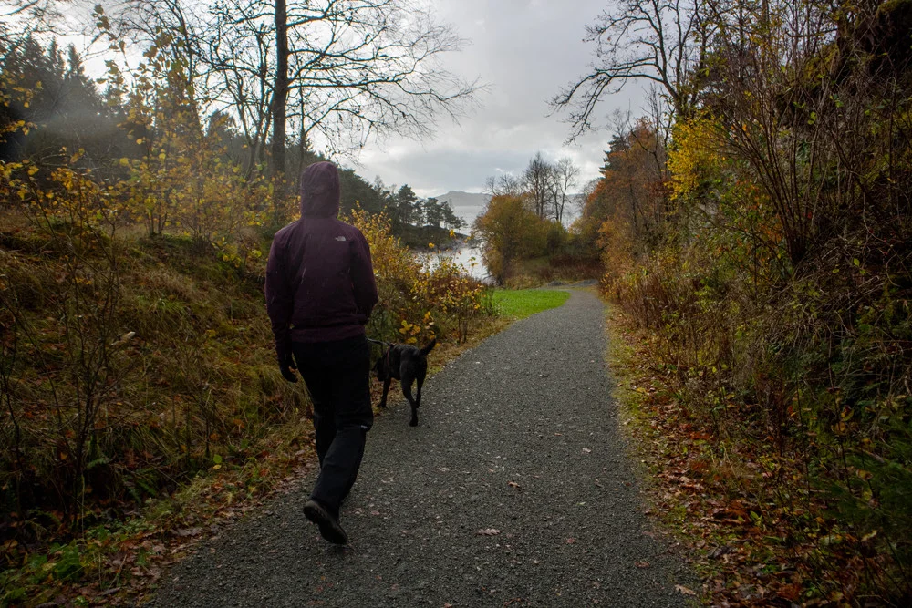
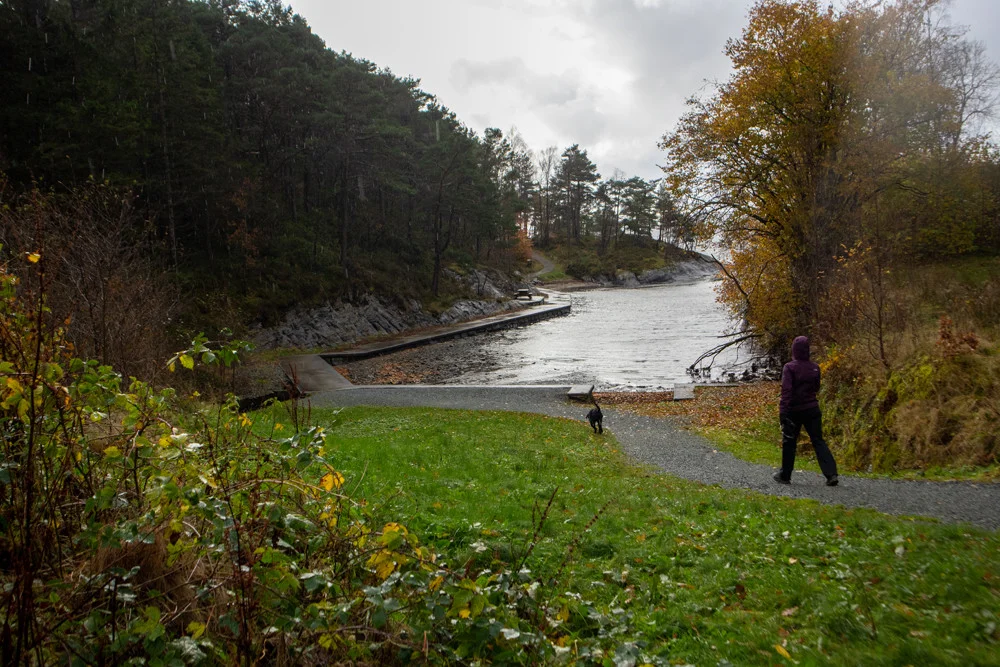
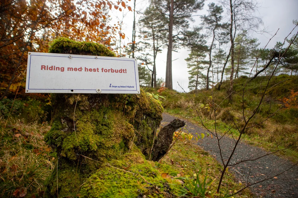
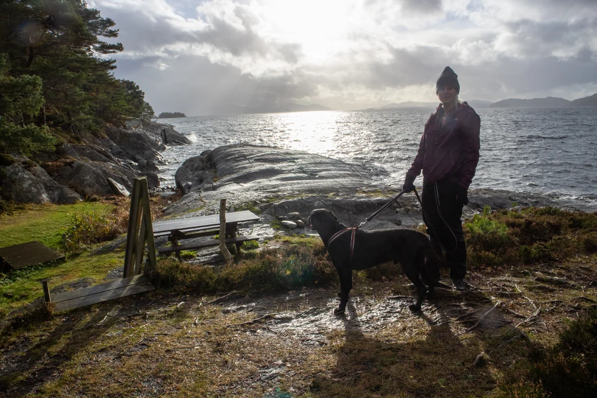
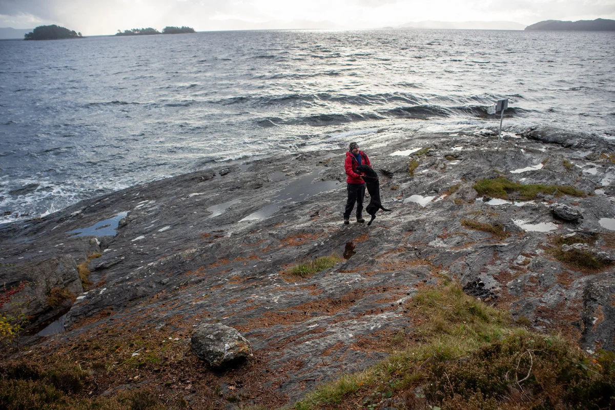
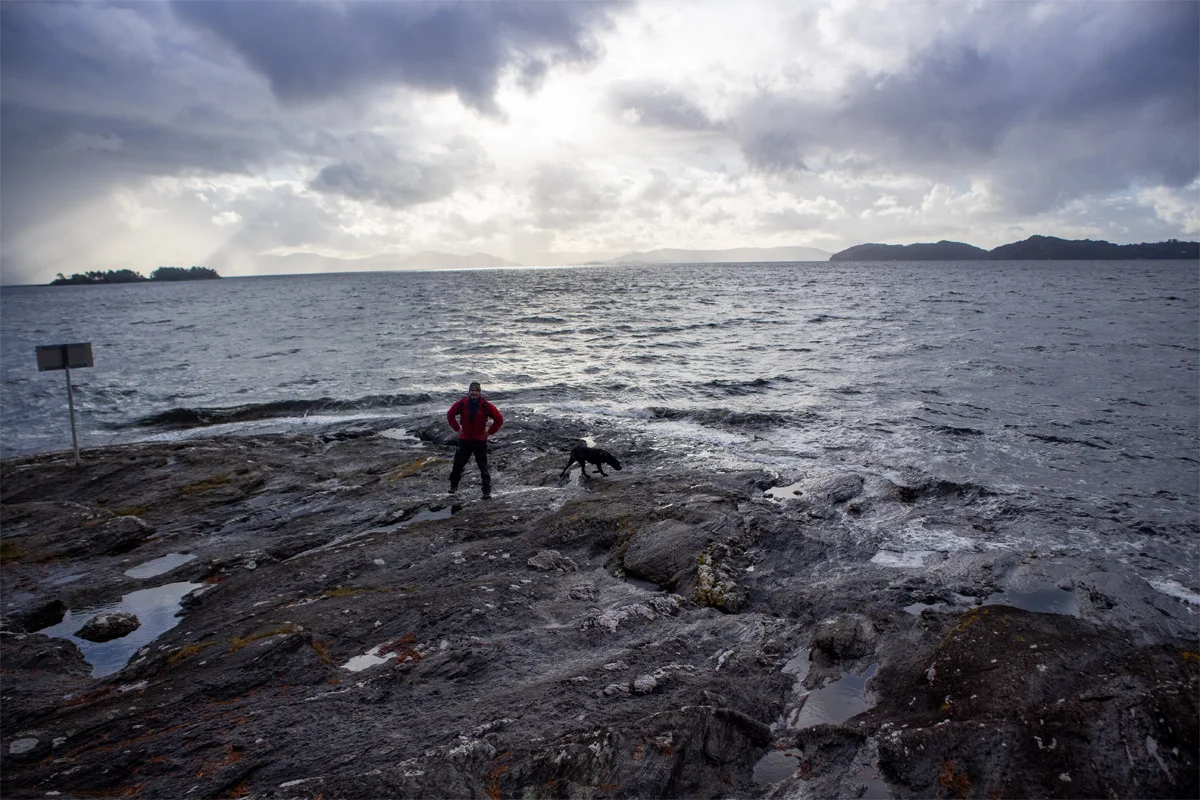
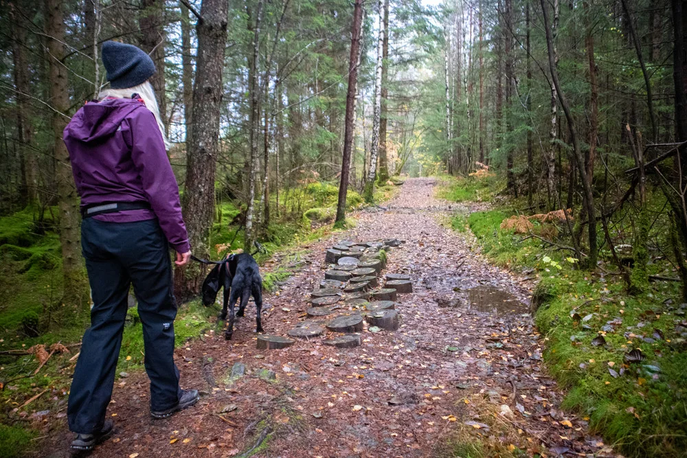
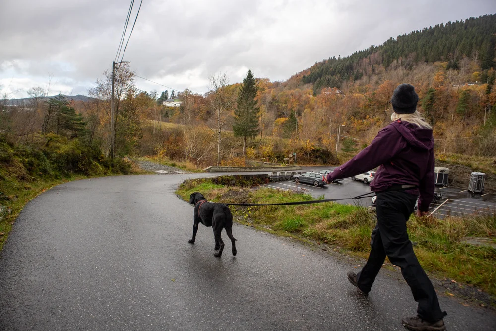
Hike around the Moldaneset in Os
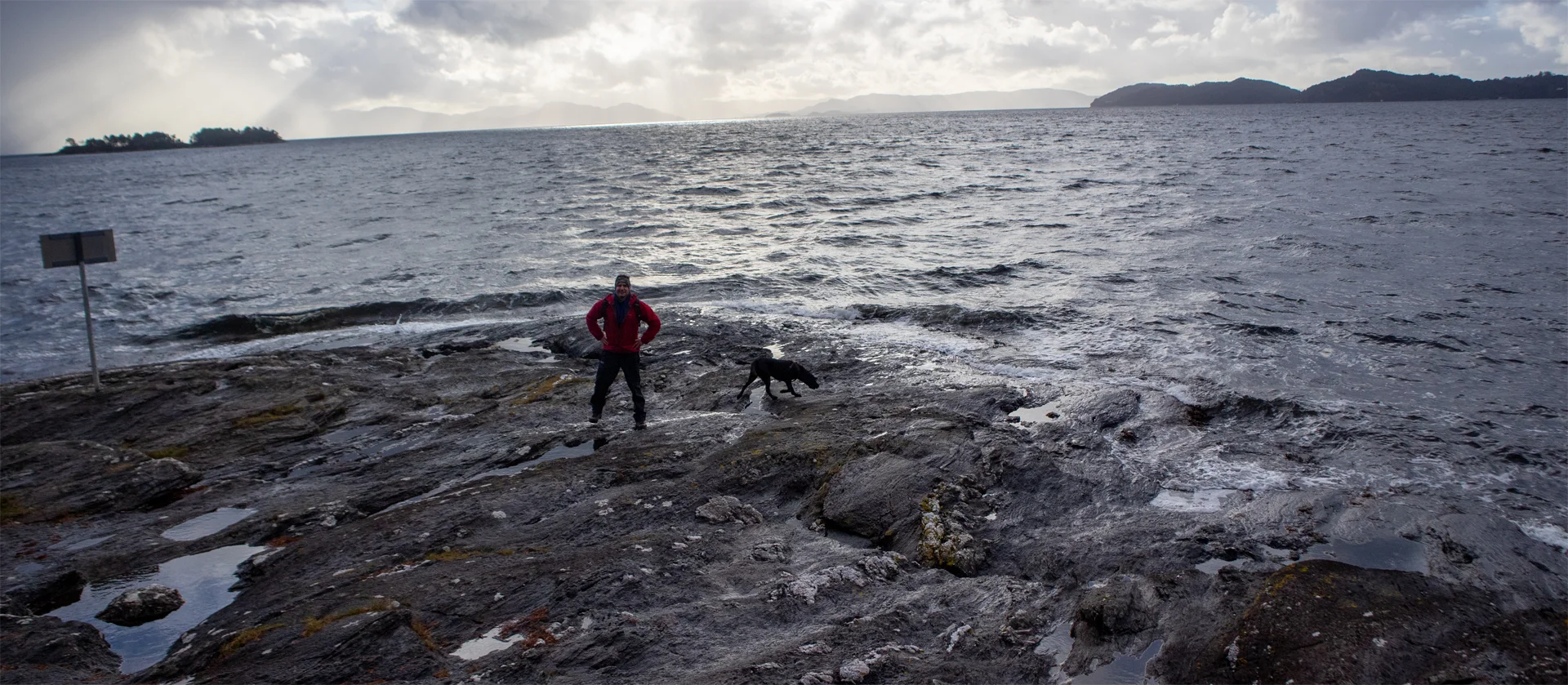
Vandretur rundt Moldaneset i Os
Photo: Admin

The GPX Track is for guidance only and may contain errors. Use at your own risk.
– always check maps, weather and conditions before your trip.

Access

From Nesttun drive towards Os and then further towards Hattvik. About 1 km before Hattvik, turn right at the sign 'Moldegaard'. Drive Bjånesvegen down the hill. Keep left and drive down to the hiking park.

Parking

Free parking along Bjånesvegen (bottom of the hill).

Description

This is an easy hike that is suitable for everyone. From the hiking park, walk south across the road. Here there is a sign 'Smievågen' and 'round trail'.

Follow the gravel road straight down into Smievågen. Go south on the left side of the asphalt pier and then the gravel road that leads down to the cabin in the spring. There is a bench where you can sit and enjoy the view over Bjørnafjorden.

To get to Moldaneset, follow the path that goes on the left side outwards towards the tip. To find the path, you can either go back to the sign or split up to the one on the left side in the spring (as shown on the GPS Track ). Then go straight ahead. There are some exposed places where there may be slippery roots and rocks, so walk carefully.

There is a nice view out on Moldaneset. Here you can lie down and sunbathe in the summer. When it is windy you can also get in touch with the forces of nature out here.

On the return trip, it is recommended to follow the path that leads back over the top of the headland. See the green-marked sign.

Have a good trip!

Information

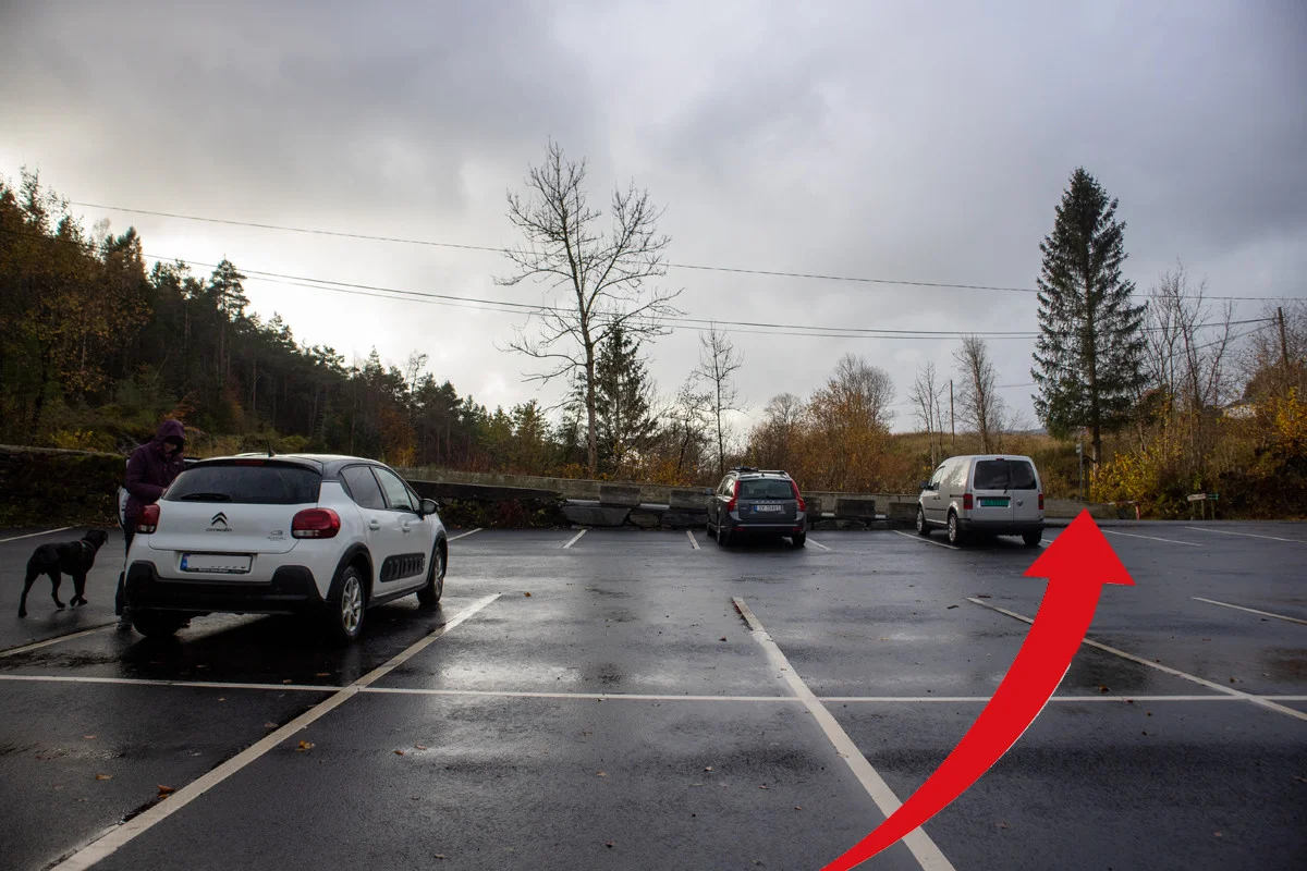
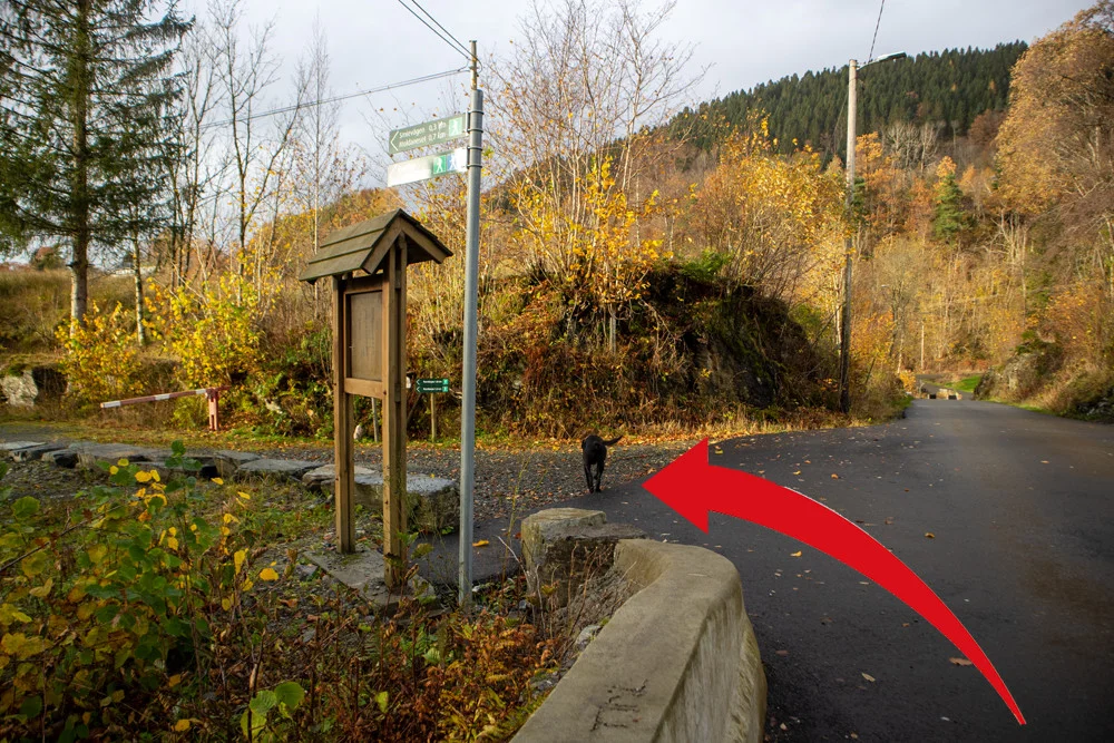
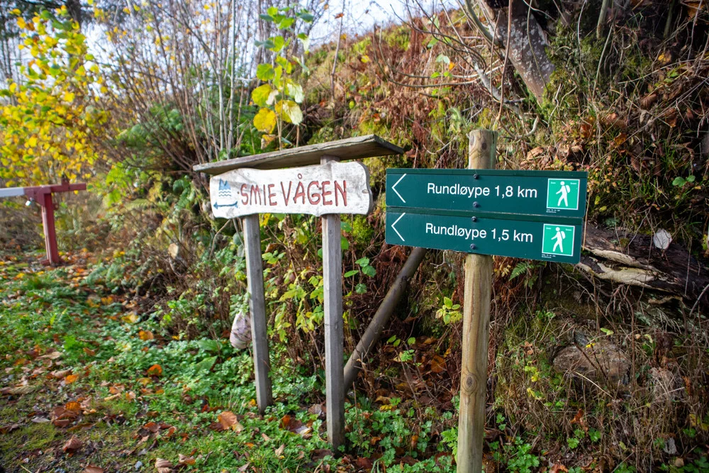
Smievågen (0 m. above sea level)
Moldaneset (0 m. above sea level)
Length round trip approximately 1.8 km.
Time: approx. 30 min. round trip
Season: All year round. Use spikes in winter if there is frost.
There are some slippery and exposed rocky areas.
Grading: Simple

Processing elevation data.. .

You use GPX files that you download from our server 100% at your own risk.

Accommodation nearby

Hiking nearby