
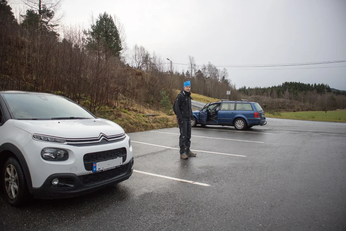
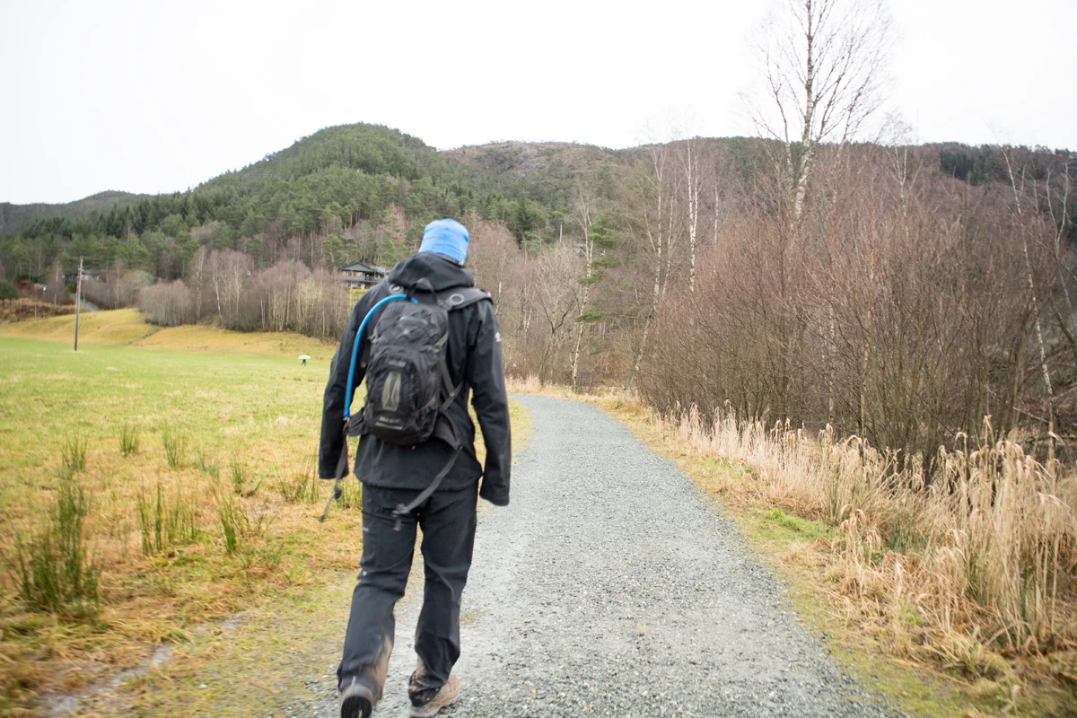
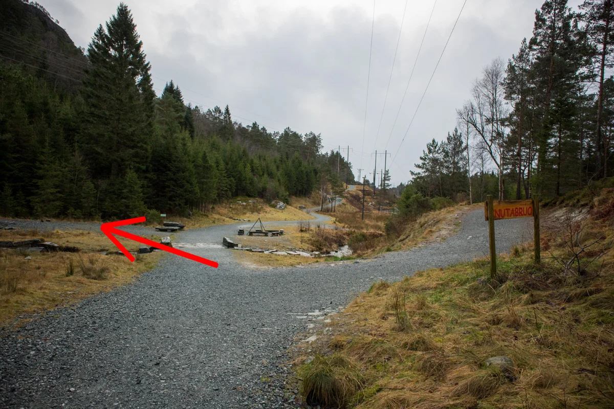
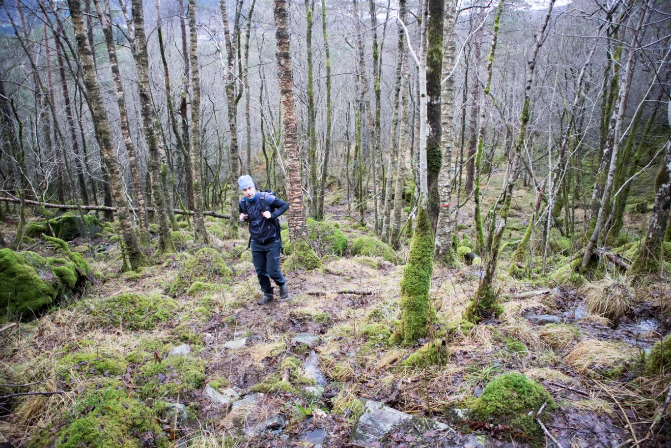
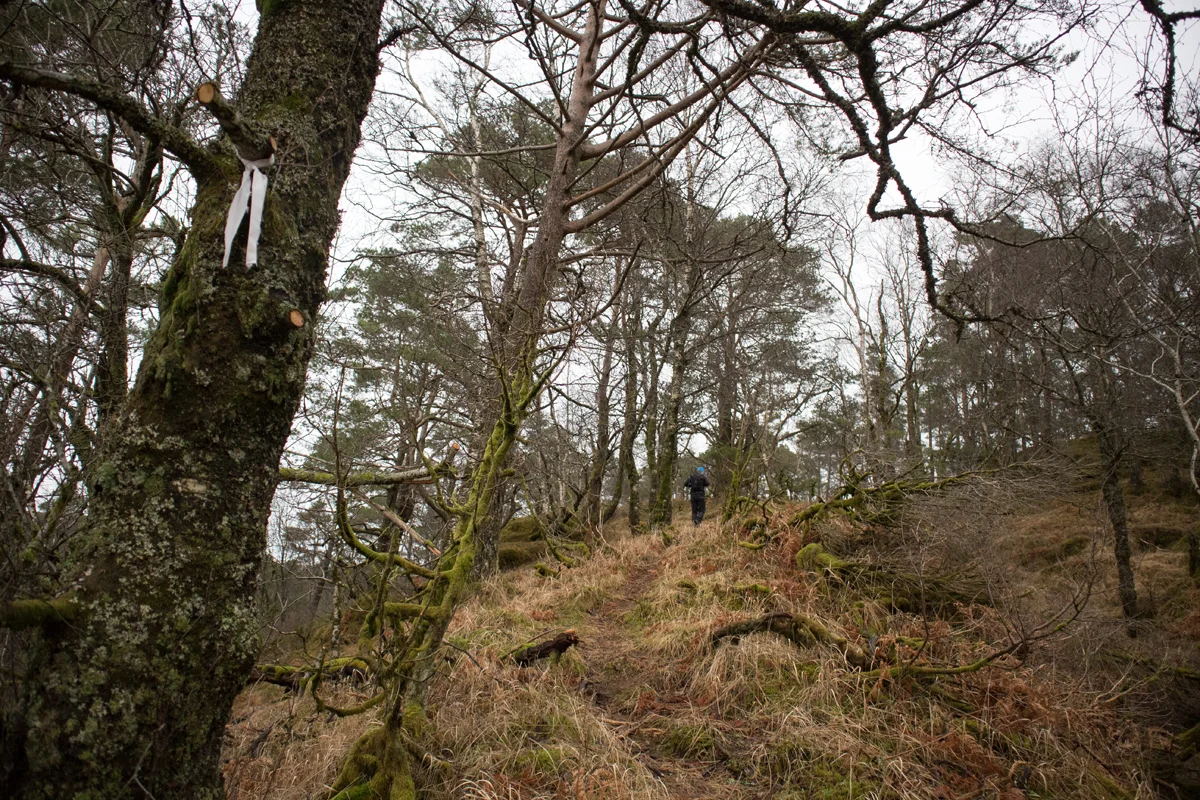
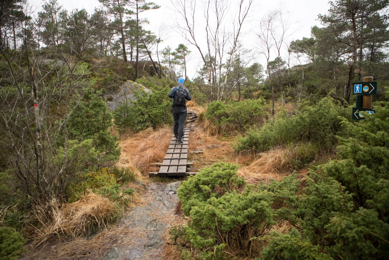
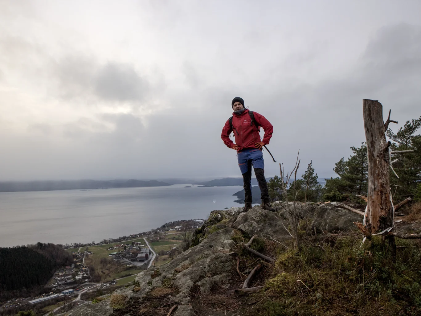
Borgafjellet (353 m) up Alio from Knutebrua
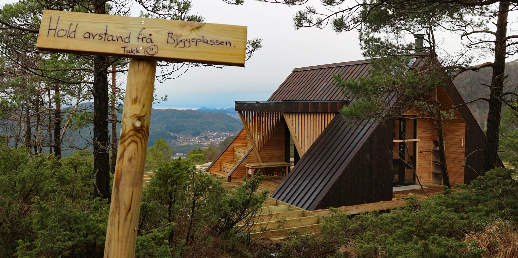
Borgafjellet (353 moh) opp Alio fra Knutebrua
Photo: Admin

The GPX Track is for guidance only and may contain errors. Use at your own risk.
– always check maps, weather and conditions before your trip.

Access

From Nesttun, drive towards Os. Just before the roundabout at Lyssand Bil og Meny, turn left towards Tøsdal. Drive to the parking lot at the end of the road.

Parking

There is free tour parking at Tøsdal.

Description

This is a new route to Borgafjellet.

From the parking lot, go back where you came by driving about 300 meters. Then turn left onto the gravel road towards Nordmarka. This road follows the Oselva south. Go a few hundred meters until you see the sign 'Knutabrua'. Here you should continue straight ahead and turn left just after the small bridge. From here the walk turns onto a path and there is a sign 'Alio / Borgafjellet'. Follow the path into the forest up the slope. It is marked by white marking tapes on the trees.

Inside the forest it goes steeply upwards, partly in rocky terrain and then several marshy sections. At approx. 300 m. above sea level it flattens out and the terrain becomes open. The path is not as clear here so follow the markings. Actually, just go straight ahead and you will enter the path that comes from Møsnuken / Gryteskaret. Once on the path, follow it south towards the top of Borgafjellet.

I do not recommend going down the same way. For a nice round trip, you can go back via Gryteskaret and down to the parking lot at Tøsdal.

Good shoes are recommended. Avoid this route if it is cold and wintery.

Have a good trip!

Information

Borgafjellet (353 m.)
Length round trip approximately 4 km.
Round trip time: Approximately 2 hours.
Season: All year round. Stings in winter.
Grading: Simple

Processing elevation data.. .

You use GPX files that you download from our server 100% at your own risk.

Accommodation nearby

Hiking nearby