
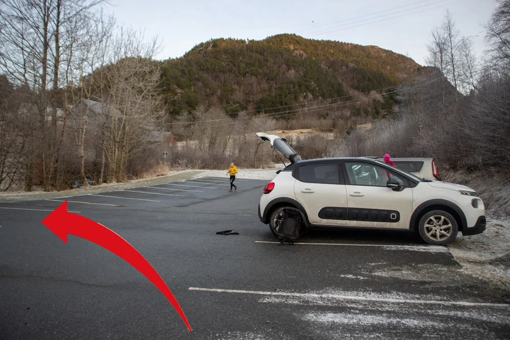
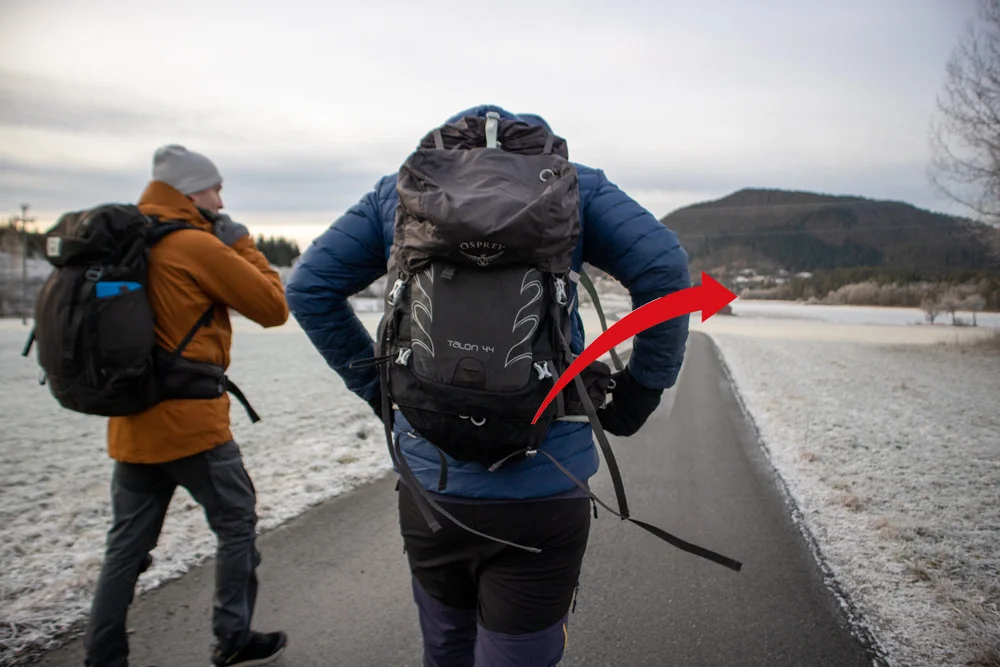
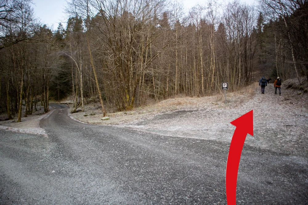
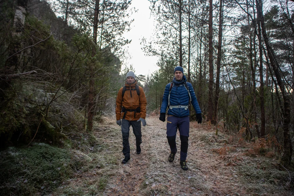
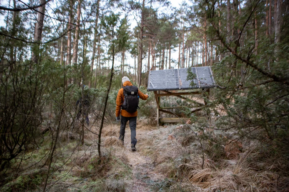
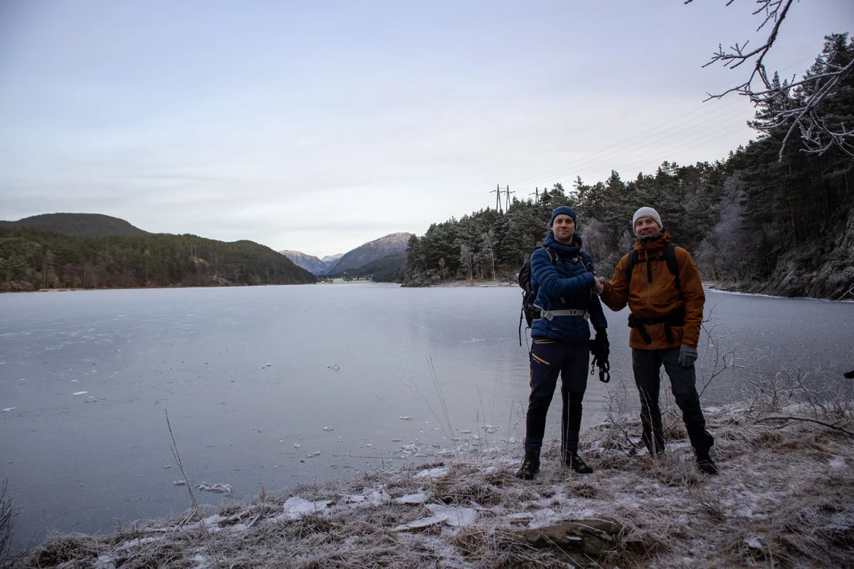
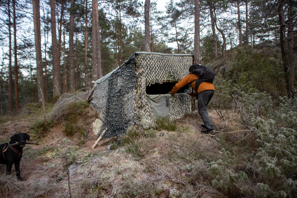
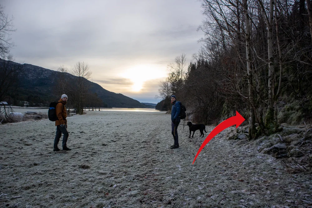
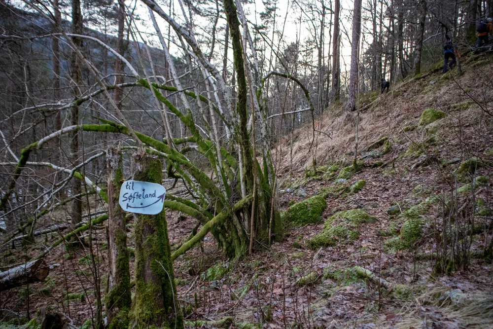
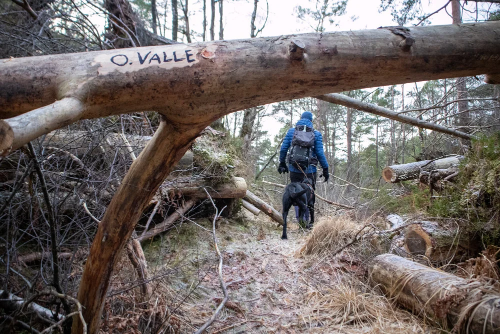
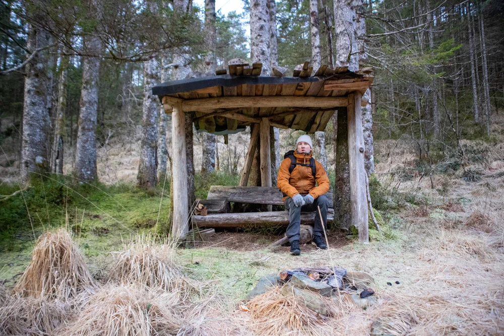
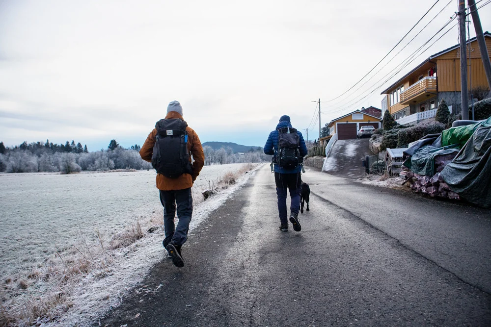
Hike Gåssandvannet around Os
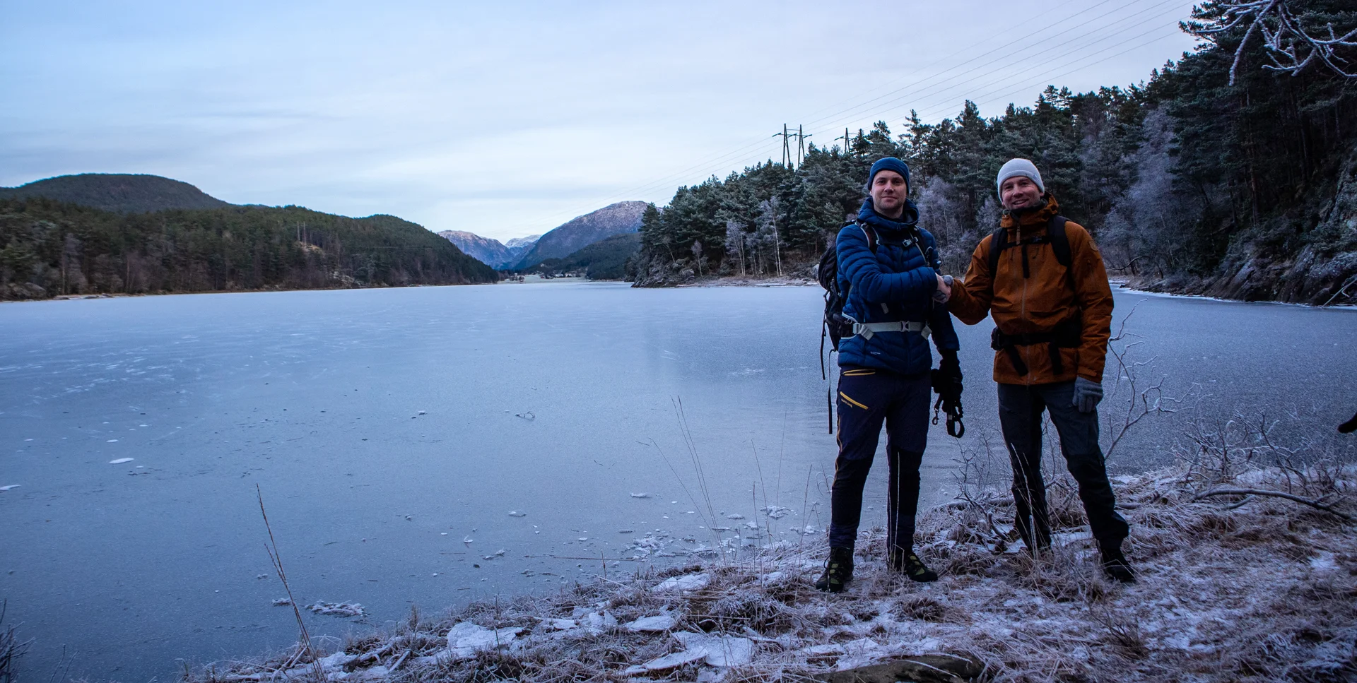
Vandretur Gåssandvannet rundt i Os
Photo: Admin

The GPX Track is for guidance only and may contain errors. Use at your own risk.
– always check maps, weather and conditions before your trip.

Access

From Nesttun, drive towards Os. Just before the roundabout at Lyssand Bil og Meny, turn left towards Tøsdal. Drive to the parking lot at the end of the road.

Parking

Free parking at the parking lot at Tøsdal.

Description

We have rated this hike as demanding, not because it is physically demanding, but because it is partly off-trail and in unmarked areas.

From the parking lot at Tøsdal, go back along the road and to the right at the intersection with the garages. Do not take the shortcut across the field as this is cultivated land. Just before the farmyard, turn left onto the gravel road. Follow the gravel road up the hill to the turning area. On the right you will see a green sign marked 'Private Parking'. Just behind here, a road goes into the forest, follow this.

Follow the forest road up the hill until it flattens out and leads you north parallel to Hetleflotvatnet. The forest road is good and easy to walk. After a while the forest road turns into a path and leads down to where Hetleflotvatnet and Gåssandvatnet meet. This is a narrow section where there is a bridge, but we will not cross here. We will continue north along Gåssandvatnet.

Now the path leads down to Nordra Straumsvika which is the start of Gåssvatnet. Here there is a nice view into the water. Continue on the path north along the water. Gradually the path gets worse, and in some places you follow animal tracks. Keep the direction north parallel to the water. But do not go too close to the water as there are some cliffs/precipices.

After a few km. you will come down into a large bog. Cross the bog on the right side to go down to the waterfall in the Stokkedal River. The waterfall is small but is a tough sight, especially if there is a lot of frost.

Continue up the hill and you will come onto a new forest road. Follow the forest road to Sagelva. If there is a lot of water in the river, you can cross it further up from the outlet, or you can go even further up where there is a bridge.

Follow the road further north through the farmyard. Then turn left onto the tractor road across the inland field and cross the bridge. If the farmer is there, ask if it is OK. Then turn onto the forest road that leads you back south along Gåssandvatnet. After a while, the forest road ends and there is no path. Go straight ahead and you will see a sign marked “Søfteland” with an arrow. Go up the slope to the right and follow the markings until you enter the path. Here, just follow the path that leads you down to the Oselva at Søfteland. Here is an old bridge that must be crossed. (But as of today 2021, it is not safe). Therefore, turn left through the farmyard (there may be a barrier here, but you can open and close it. There is no other alternative) and follow the road down to the other bridge. Then follow the road south towards Søfteland School / National Road.

Have a good trip!

Information

Length of round trip (to Søfteland school) approx. 10km.  
If you go all the way back to the parking lot at Tøsdal, it is about 14 km.
Time: approx. 3-4 hours,
Season: All year round.
Not recommended if there is a lot of snow. Bring crampons in winter.
 
Grading: Demanding

Processing elevation data.. .

You use GPX files that you download from our server 100% at your own risk.

Accommodation nearby

Hiking nearby