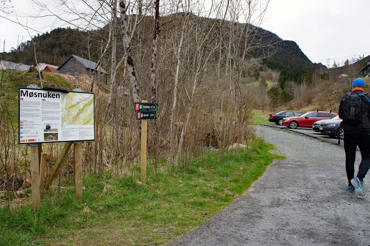
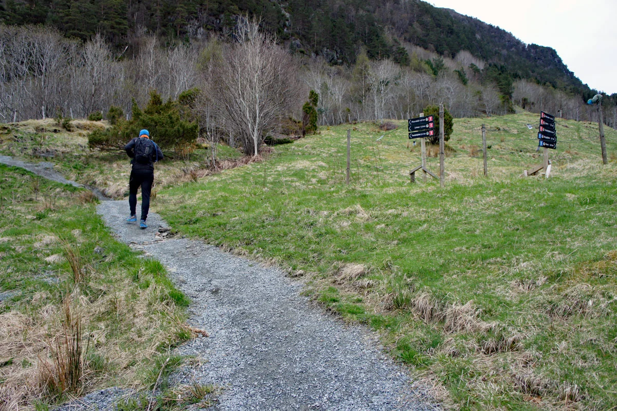
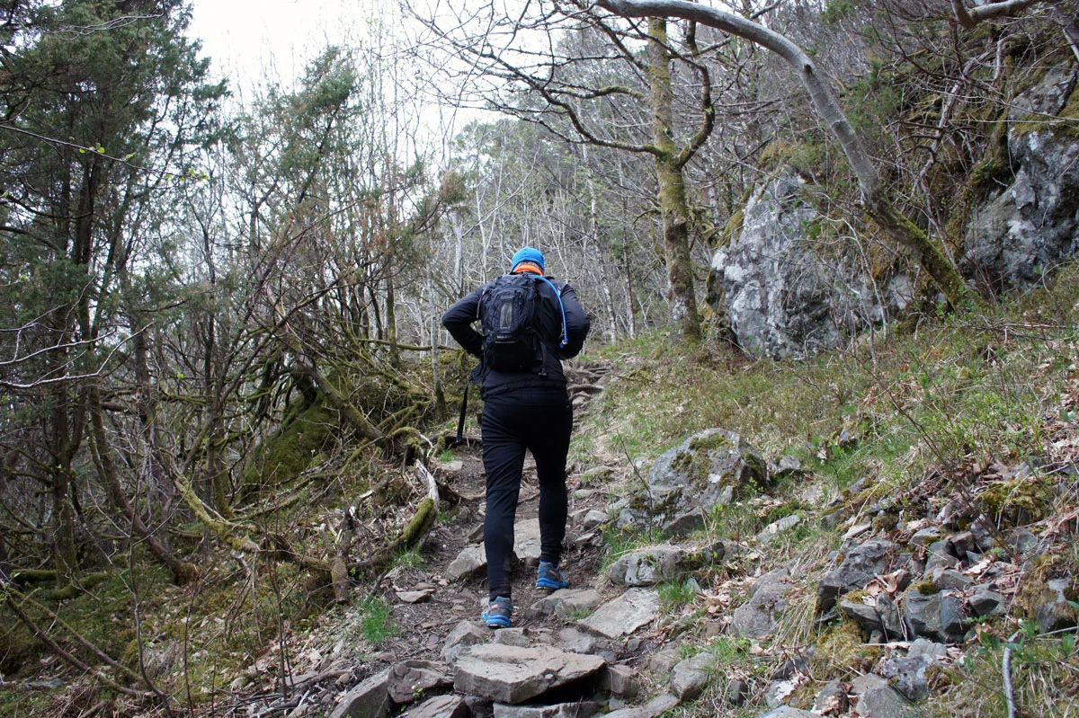
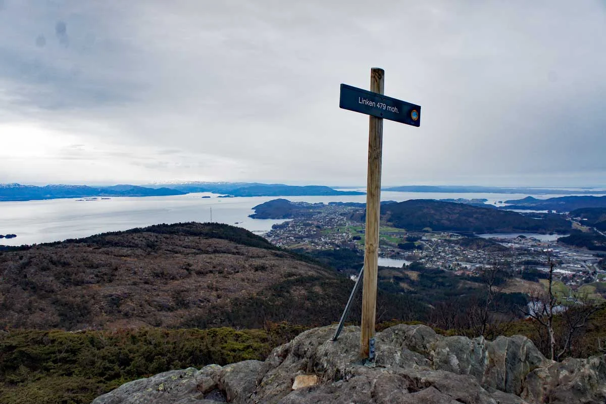
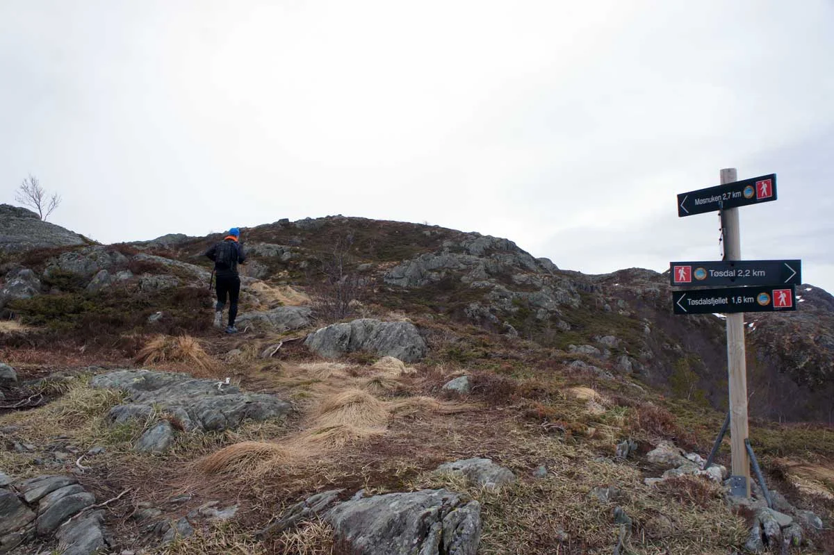
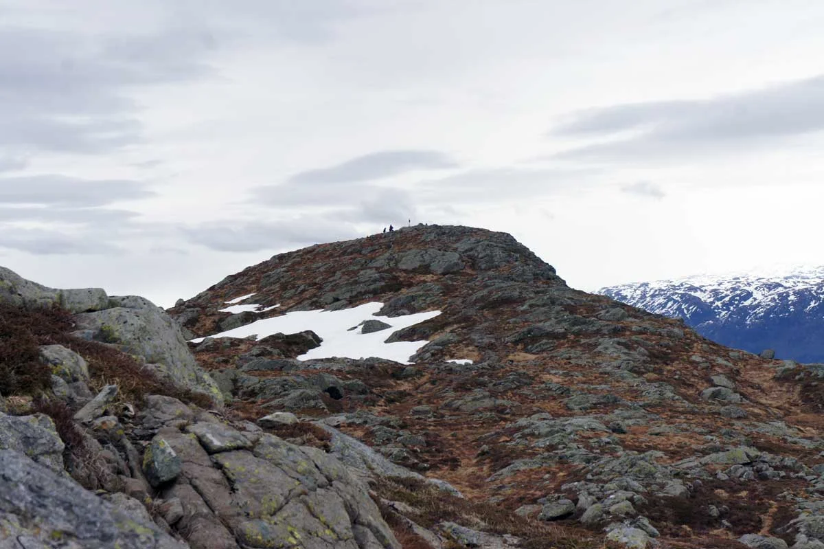
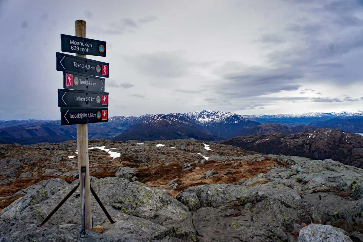
Møsnuken (639 m) from Tøsdal via Linken
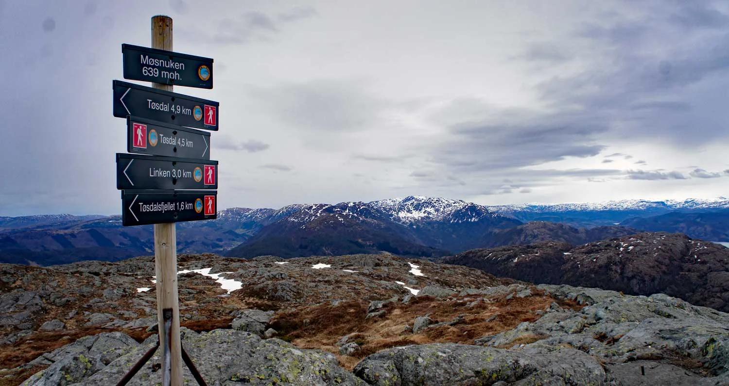
Photo: Admin

Processing elevation data.. .
You use GPX files that you download from our server 100% at your own risk.
Accommodation nearby


Hiking nearby

Hot
Distance
2.16 Km

Distance
2.41 Km


Hike to the Bjørnåsen viewpoint (175 m above sea level) at Søfteland - Bjørnafjorden, Vestland
Premium
Distance
4.65 Km

Distance
4.67 Km

Distance
4.97 Km