Borgafjellet (353 m) from Hjelle
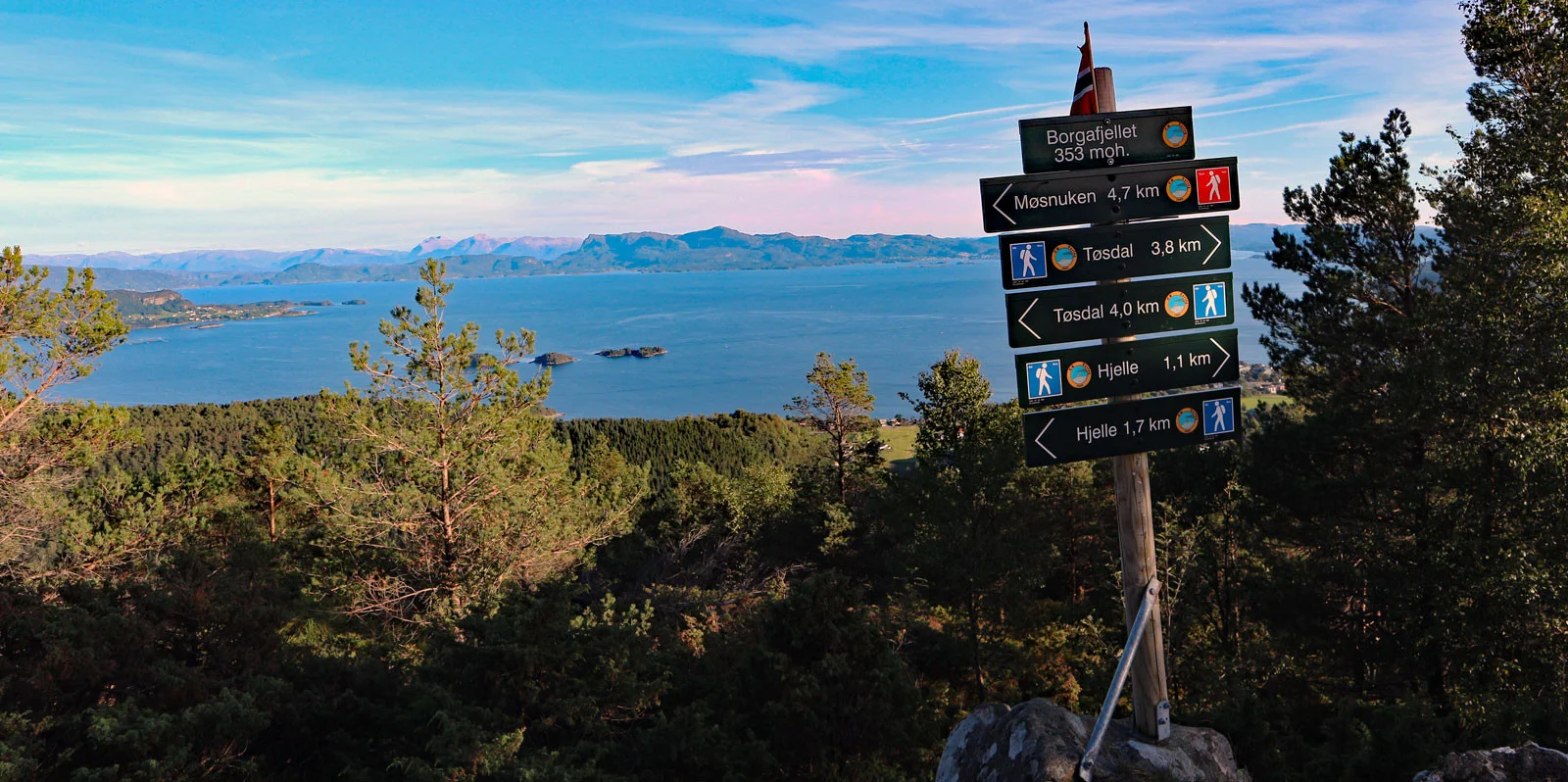
Borgafjellet (353 moh) fra Hjelle
Photo: Admin

The GPX Track is for guidance only and may contain errors. Use at your own risk.
– always check maps, weather and conditions before your trip.

Access

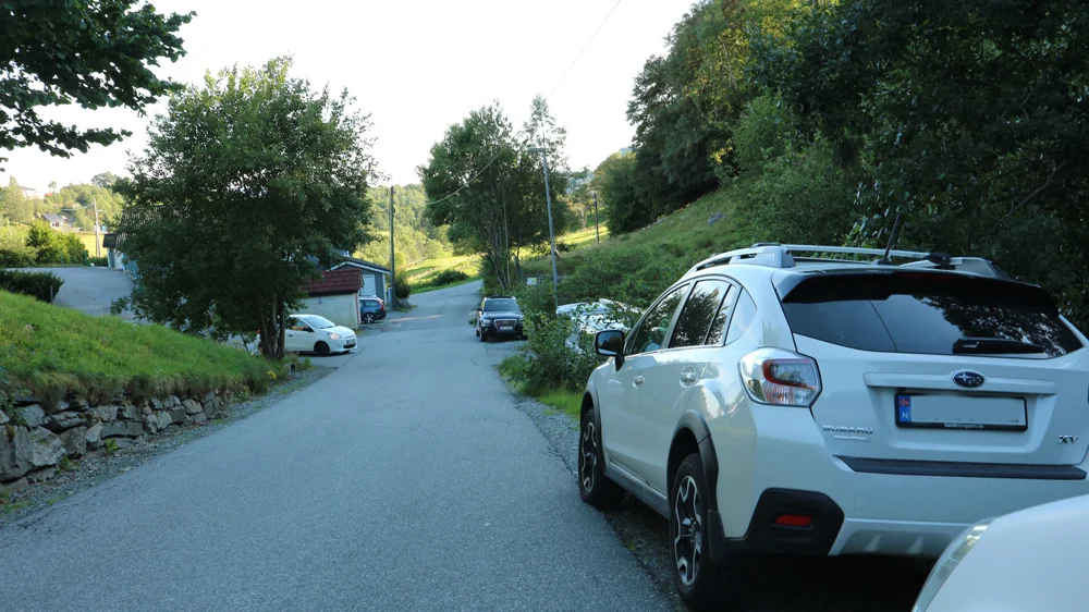
From Bergen city center, drive to Osøyro and continue towards Hatvik. Turn left into Hegglandsdalen (signposted Samnanger), over the bridge and left into Borgaveien. Follow the road to the intersection and park on the hill along Hjellevegen.

Parking

Free parking along Hjellevegen.

Description

Borgafjellet is a popular hiking destination very much used by people in Os.

Easily accessible and affordable for most people.  

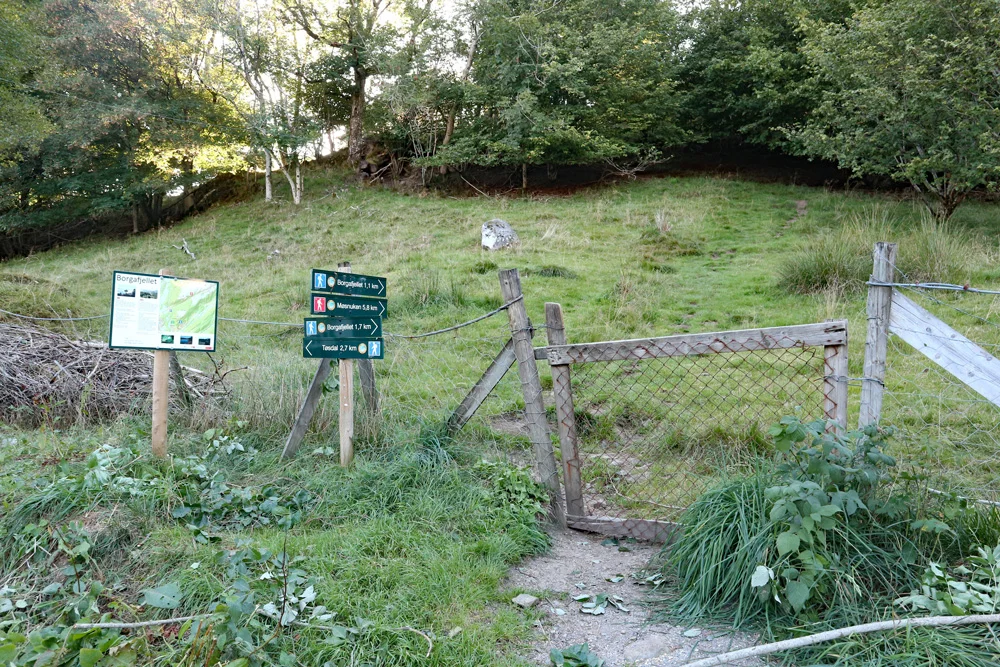
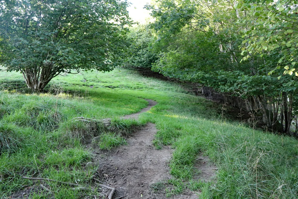
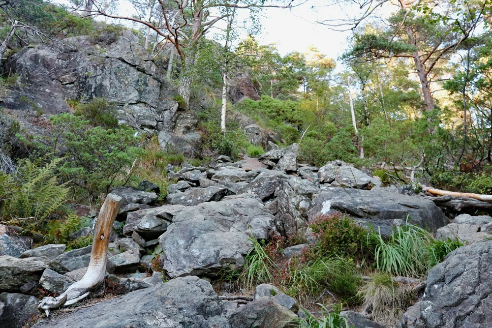
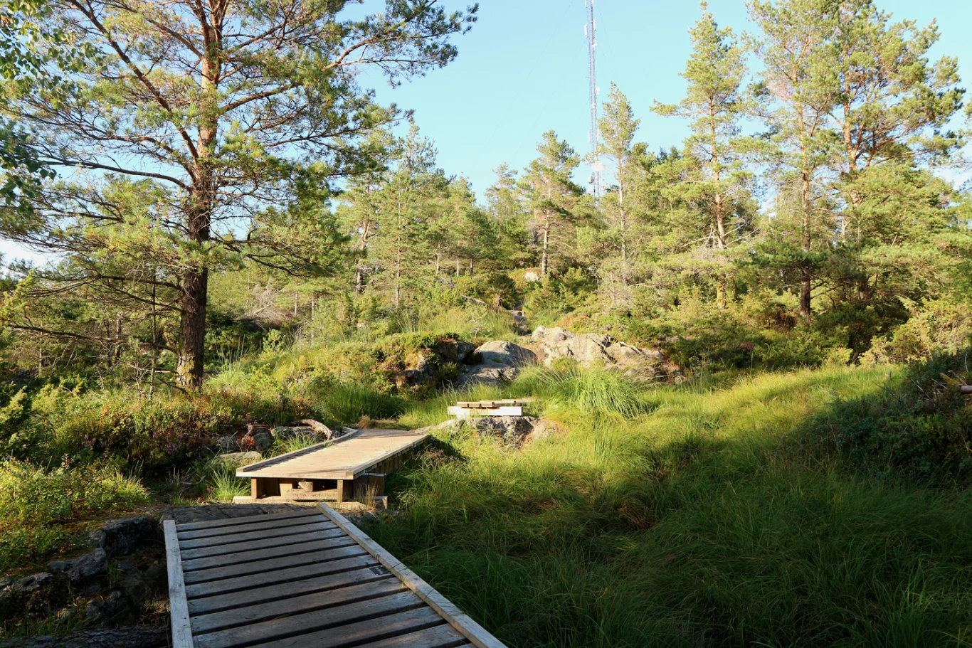
Here there is a sign 'Borgafjellet 1.1 km' so just follow the path to the top. First it goes through pasture, so remember to close the gate. Then the path goes through forest and then up rocks where it flattens out the last part. It may be an advantage to have good shoes because of the rocky surface. If it has rained it can also be slippery.

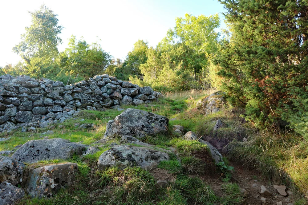
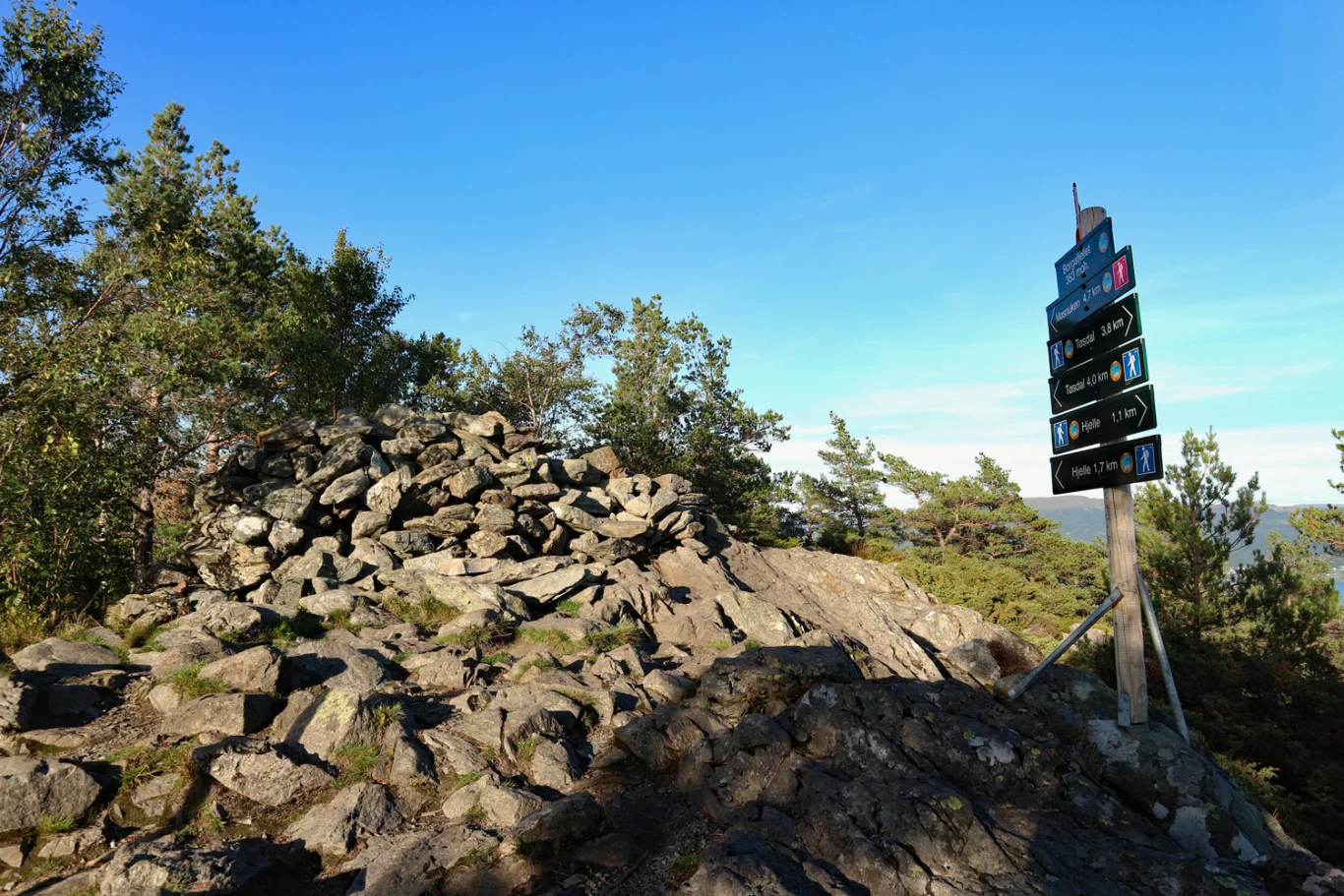
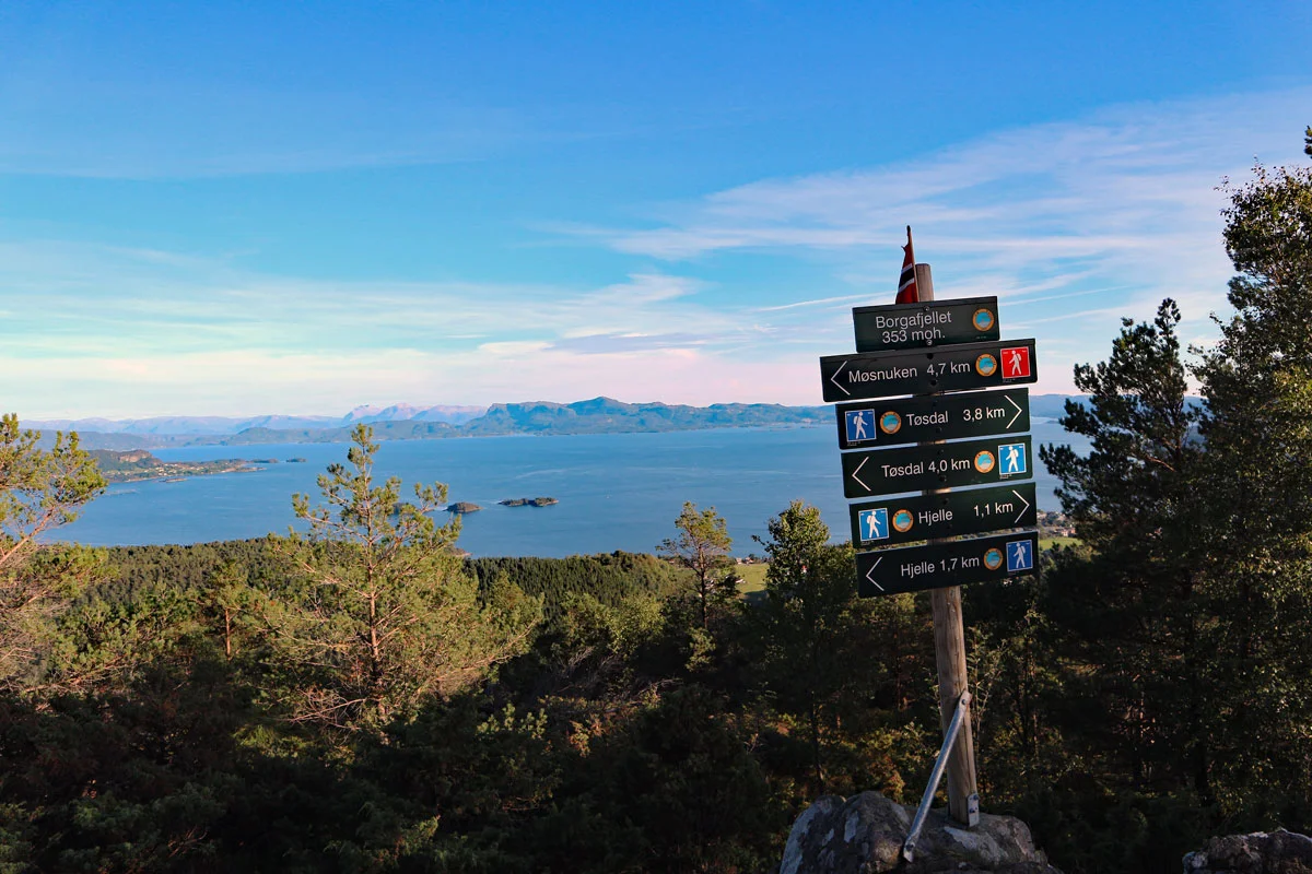
At the top there is a large mast, a poorly constructed cairn, signs showing you where to go Next, and a mailbox. There is also a great view over Os and south towards Sunnhordland. You can see Tysnessåta, Hovlandsnuten, Englafjell and Ulvanosa in the Distance .

Information

Borgafjellet (353 m.)
Length approx. 2.1 km round trip
Time: approximately 1 hour.
Season: All year round.
Some steep sections. Good shoes are essential.  
Grading: Simple

Processing elevation data.. .

You use GPX files that you download from our server 100% at your own risk.

Accommodation nearby

Hiking nearby