The GPX Track is for guidance only and may contain errors. Use at your own risk.
– always check maps, weather and conditions before your trip.
Parking
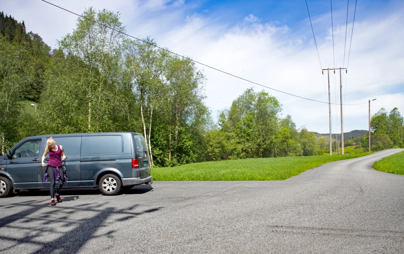
Free parking at Tømmernes just by the bridge.
Description
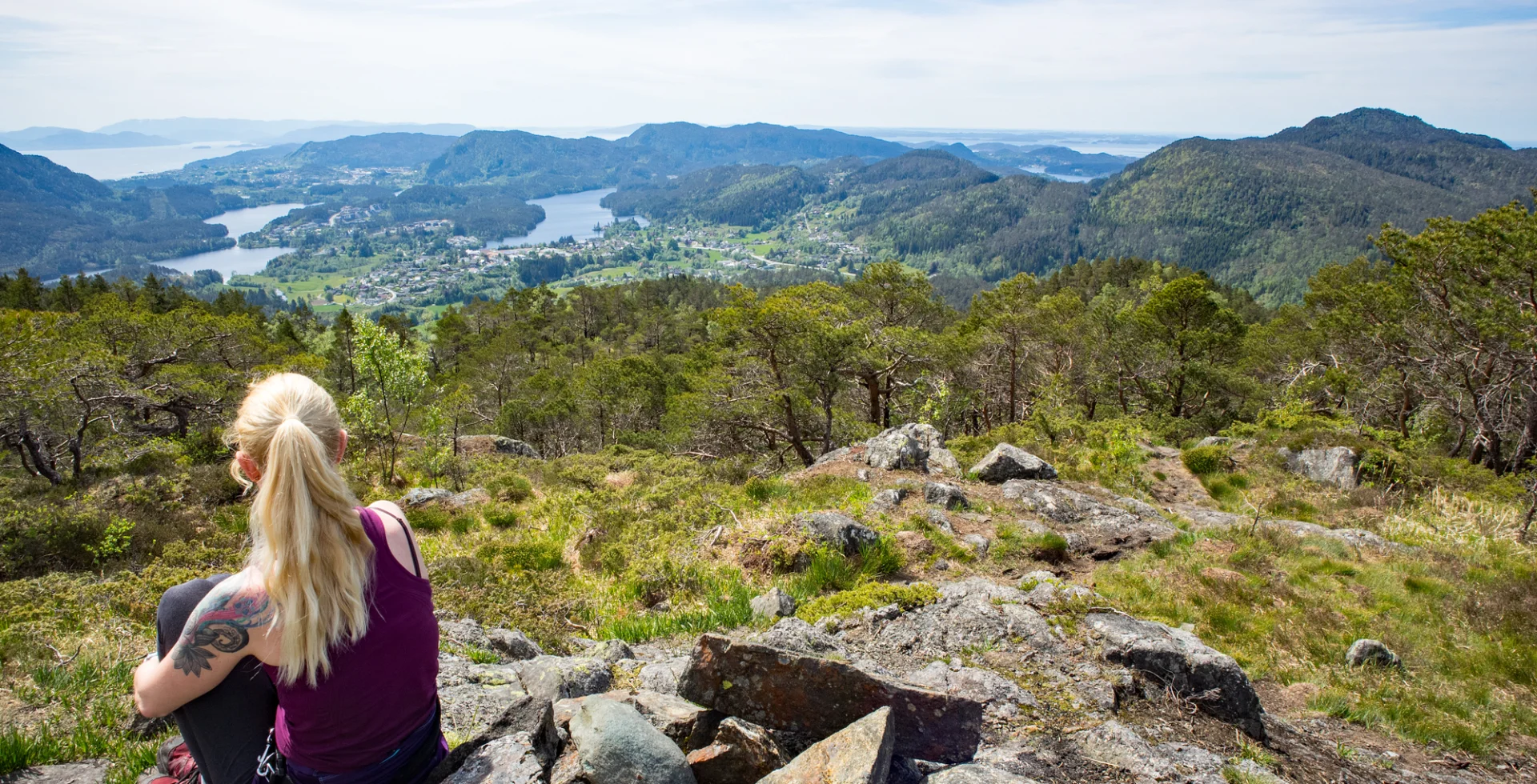
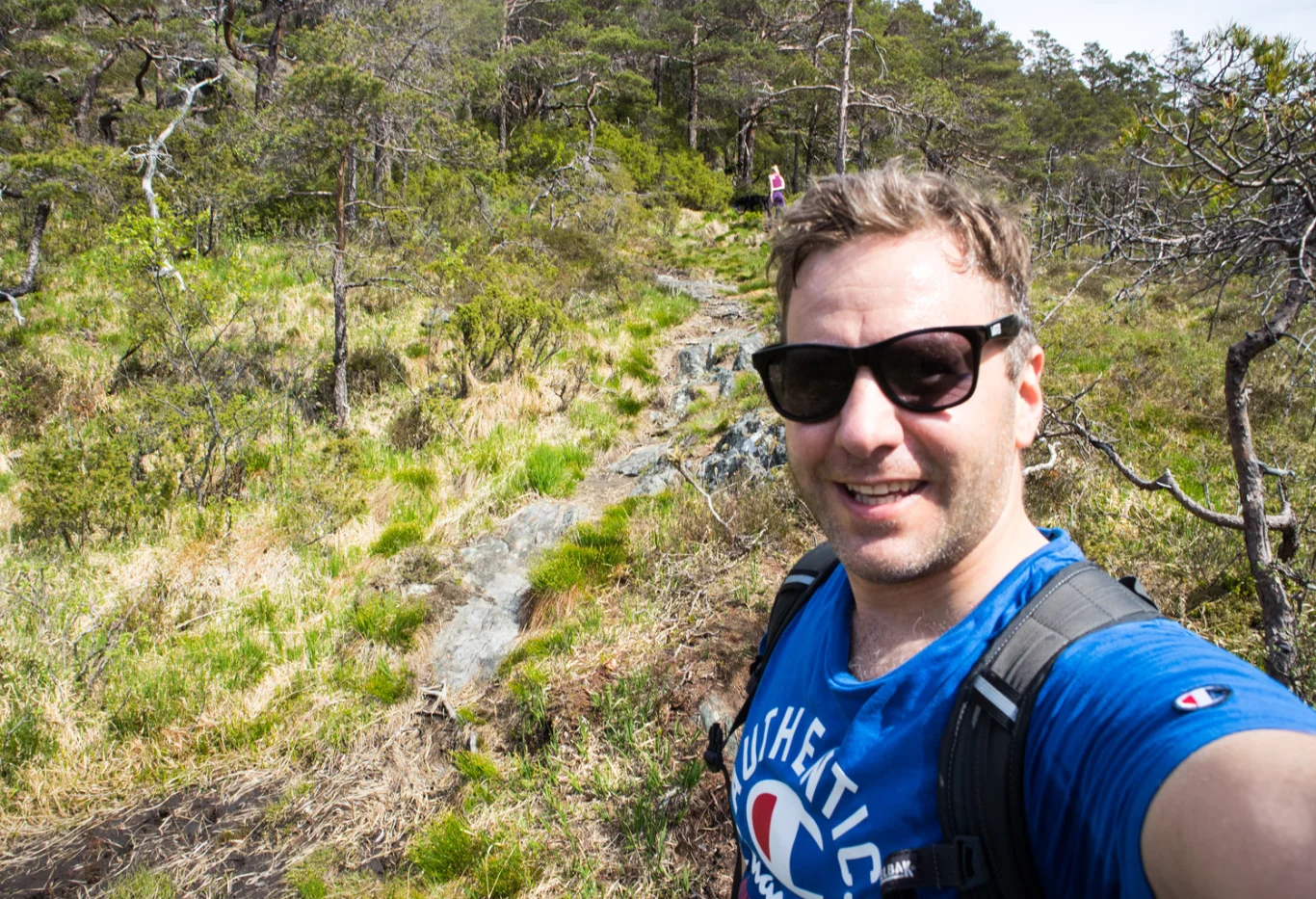
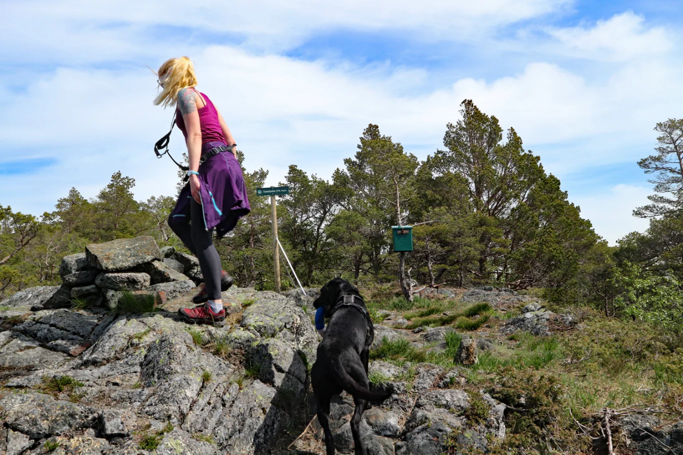
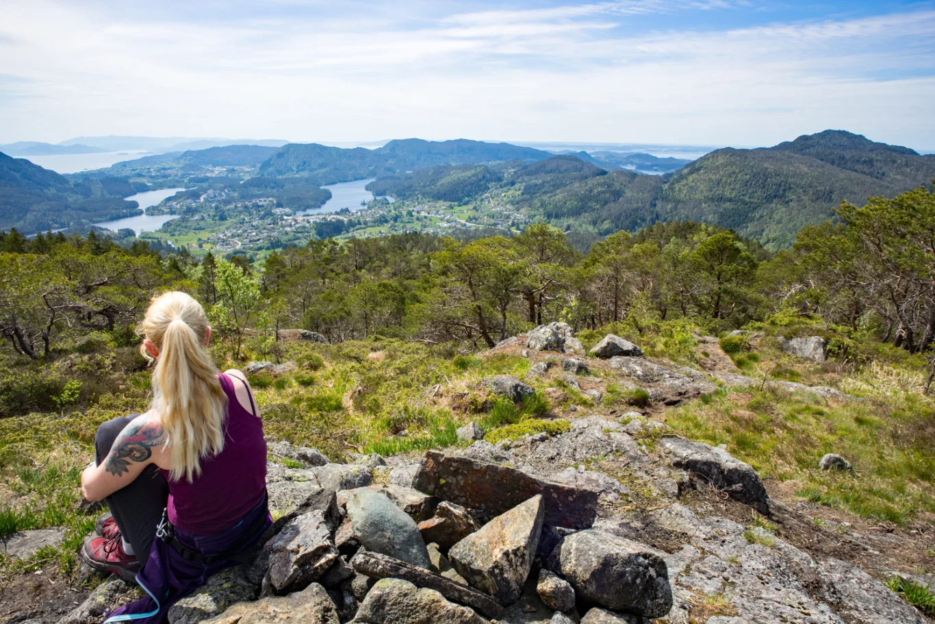
Sælafjellet from Tømmernes in Søfteland. Easy mountain hike in Bjørnefjorden municipality with nice views towards Søfteland.
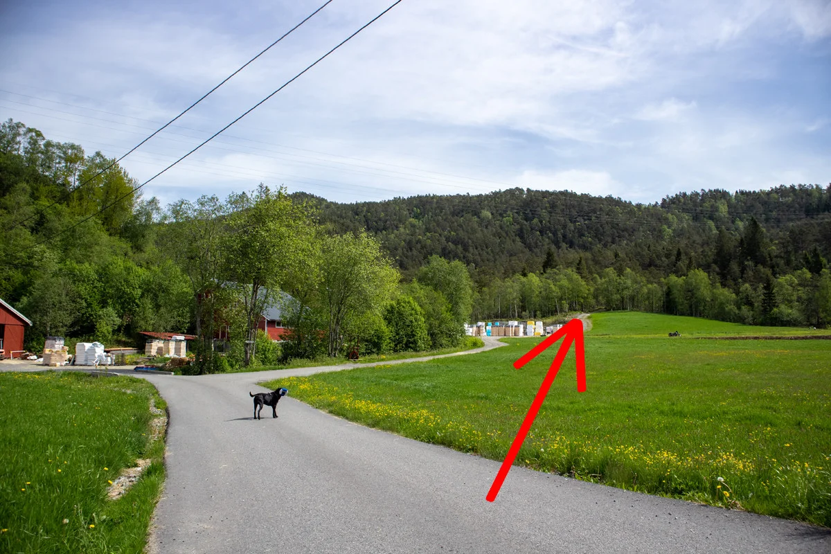
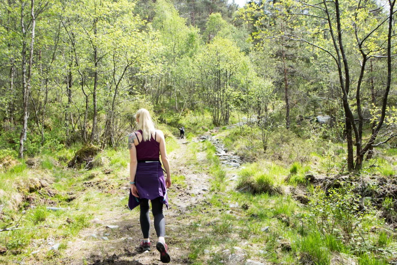
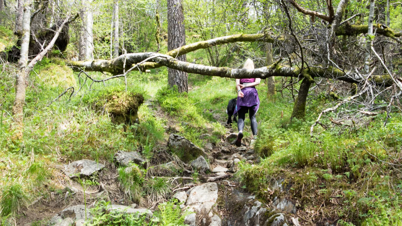
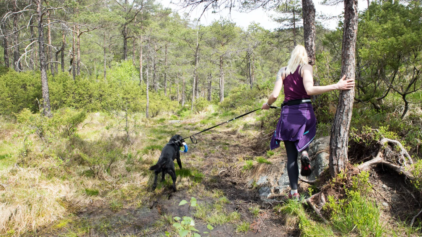
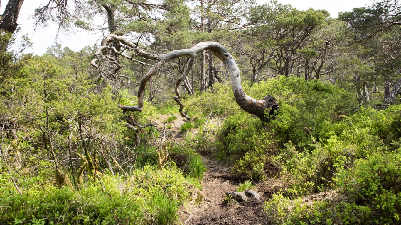
The hike starts on an asphalt road through some farmyards, before a clear tractor Track leads you into the forest. Eventually the road turns into a path, which winds its way steadily up towards Sælafjellet. The path is clear and easy to follow, but some sections can be wet.
Return the same way.
Information
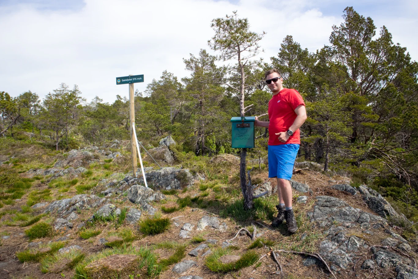
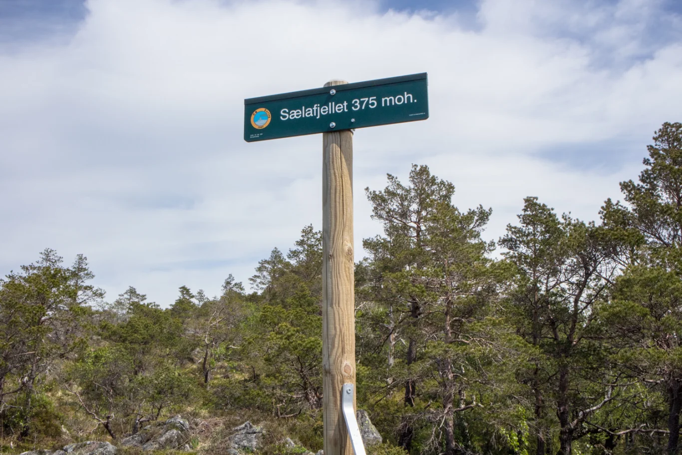
Sælafjellet (375 m. above sea level)
Length round trip: approximately 4 km.
Time: 1-2 hours round trip
Season: All year round.
Length round trip: approximately 4 km.
Time: 1-2 hours round trip
Season: All year round.
Grading: Simple
Accommodation nearby
Hiking nearby
Distance
0.7 Km
Distance
1.39 Km
Hike to the Bjørnåsen viewpoint (175 m above sea level) at Søfteland - Bjørnafjorden, Vestland
Premium
Distance
2.39 Km
Hot
Distance
3.48 Km