The GPX Track is for guidance only and may contain errors. Use at your own risk.
– always check maps, weather and conditions before your trip.
Access
Parking
Description
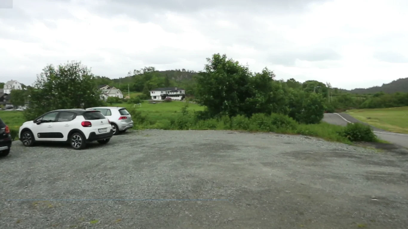
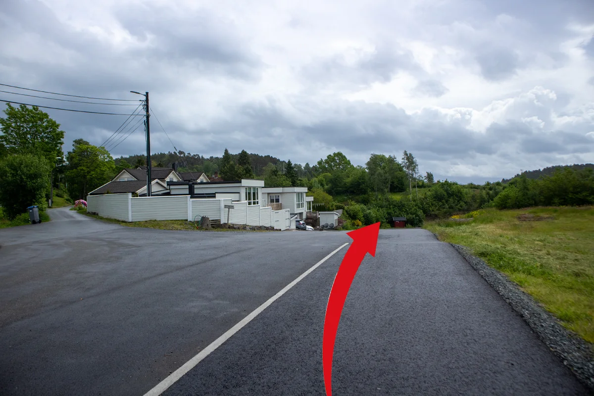
The walk starts right Next to Lunde Elementary School. From the parking lot, follow Torkjelsvegen down the hill and around the bend to the right.
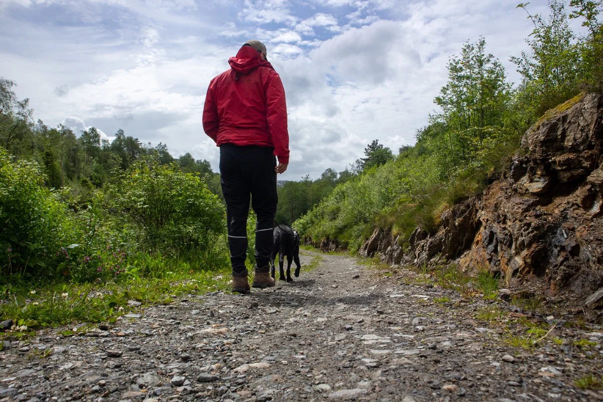
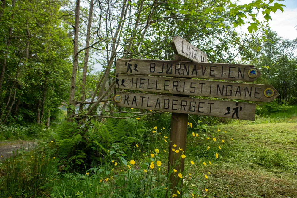
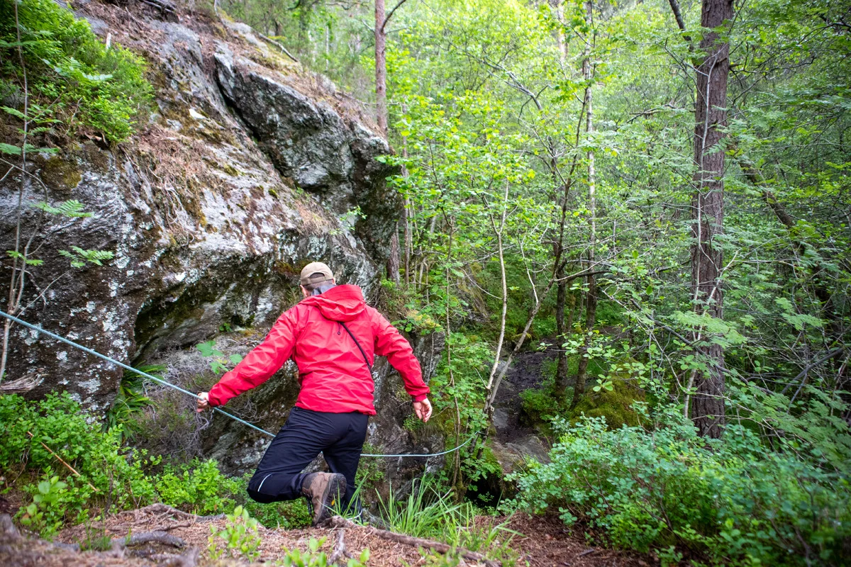
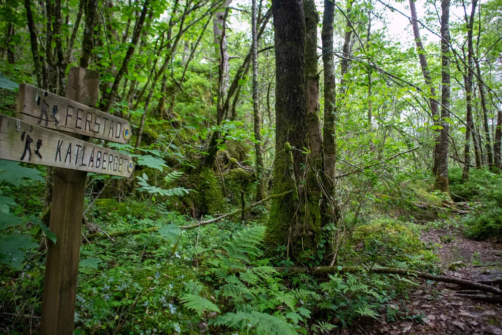
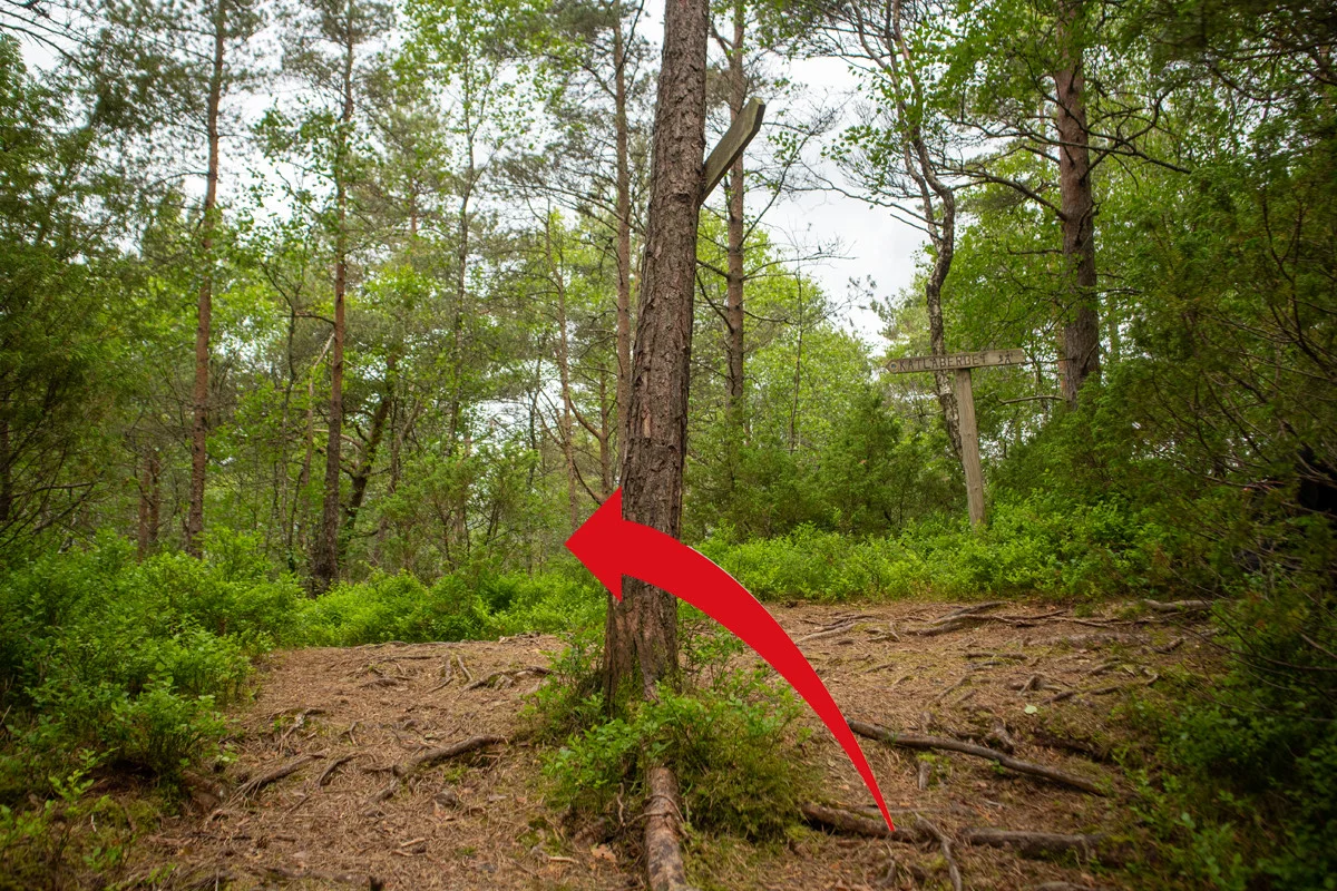
The road now turns into a gravel road. Go around the left turn and down the hill. About halfway down the hill, you take the gravel road to the right that leads down to the fjord and Vargavågen. Just before the boathouses, you will see a sign on the right marked 'Katlaberget'. Here you will take the path on the left side of the road into the forest. Now you just follow the path up the mountain. The path is good and it is signposted all the way. At an exposed point there is a rope where you can hold on. The path leads you east below the peak before it rounds up the back. The last part you go west again to get to the viewpoint.
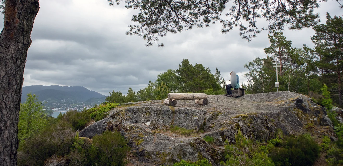
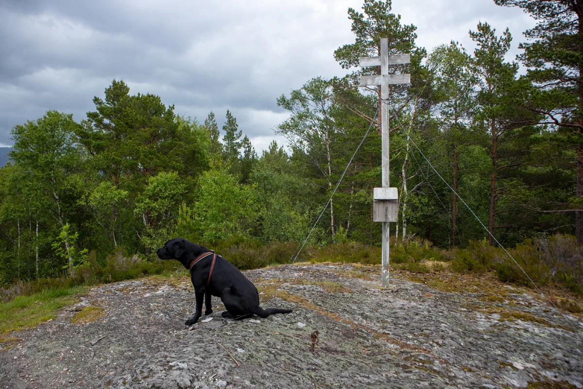
At the top is a mini mast, mailbox, benches and a nice view of Liafjellet. There is limited fjord view at the top. But if you walk the round trip as the GPS Track shows you will get a great fjord view.
Information
Time: Approximately 1 hour.
Season: All year round.