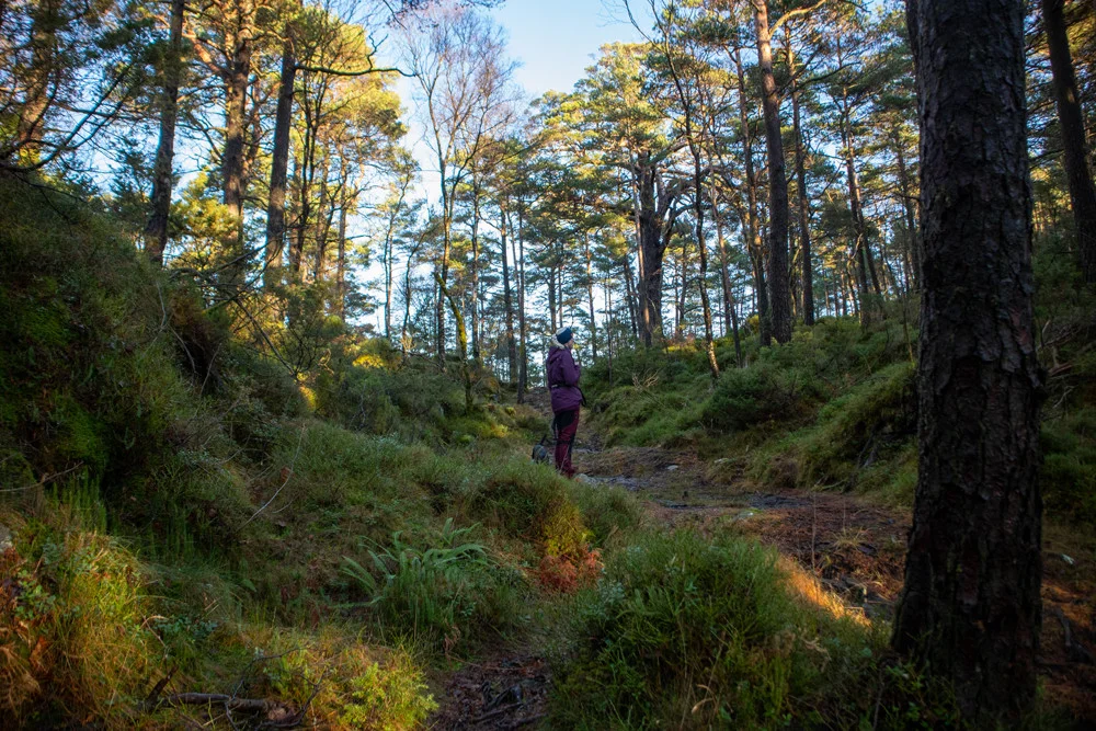
Gjelafuro (189 m) from Langavatnet at Drange
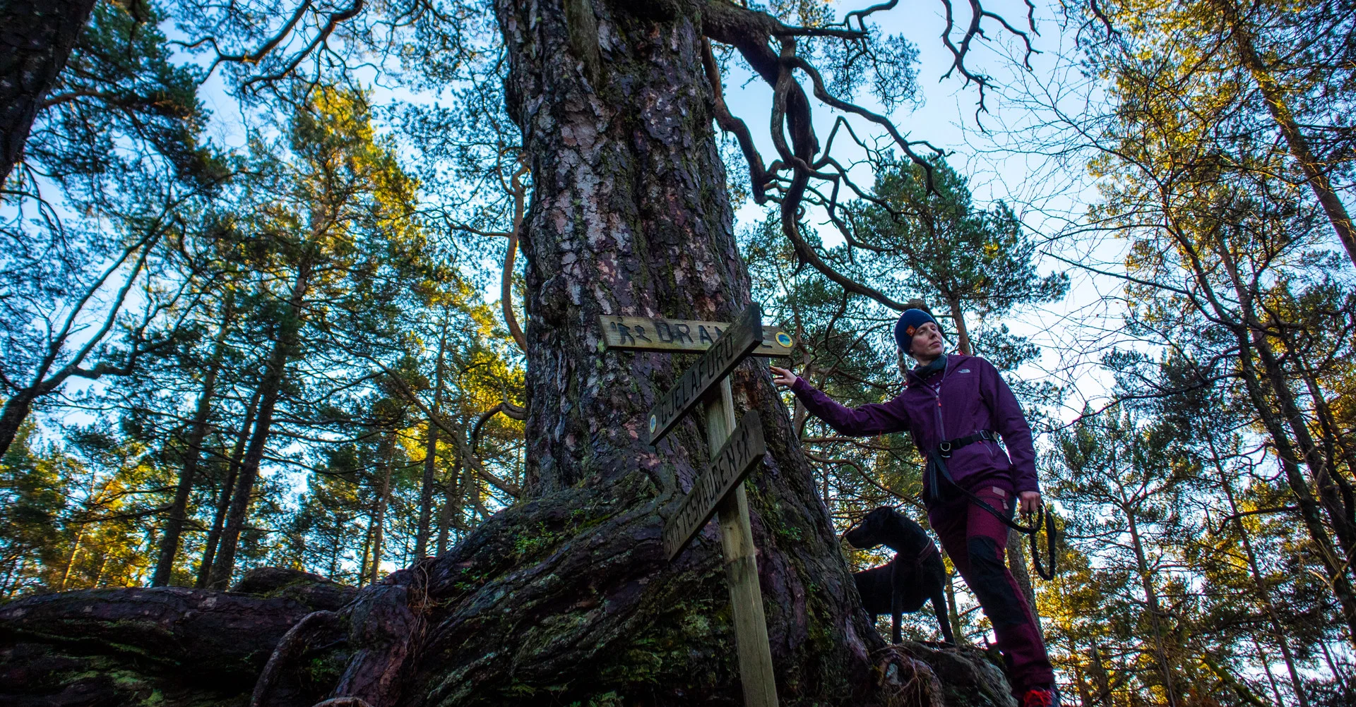
Gjelafuro (189 moh) fra Langavatnet på Drange
Photo: Admin

The GPX Track is for guidance only and may contain errors. Use at your own risk.
– always check maps, weather and conditions before your trip.

Access

From Bergen, drive towards Os. At the roundabout with the Meny store, turn right towards Halhjem. Then drive straight ahead at roundabout no. 2, signposted Ulven. Drive Ulvenvegen around the bend and to the right, signposted 'Ulven Leir / Sørstraumen'.
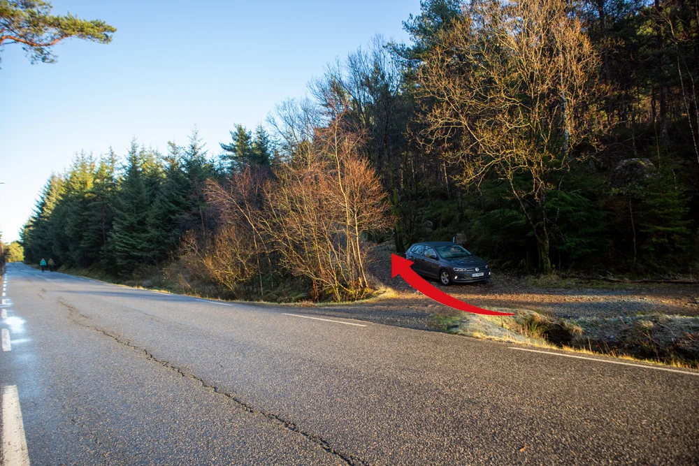
Drive Lyseklostervegen approx. 1.2 Km. and then turn left at the sign 'Helleskaret'. Follow the winding Søvikvegen across to the other side. Drive left at the sign Drange and to the end of the long flat where Langevatnet starts. You will see the hiking park on the left.

Parking

Free tourist parking on the north side of Langevatnet.

Description

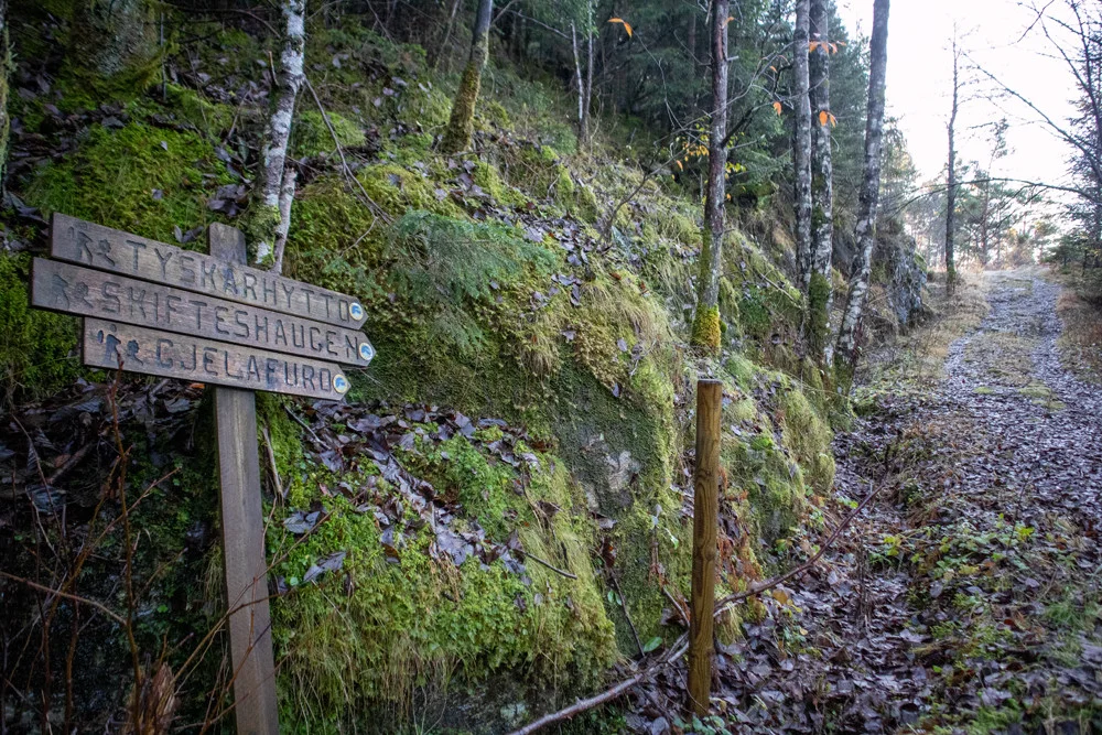
Go to the end of the parking lot where you drove in. Here there is a sign 'Gjelafuro' and various other hiking destinations. Follow the forest road up the hill where it then turns right and goes south parallel to Langevatnet.

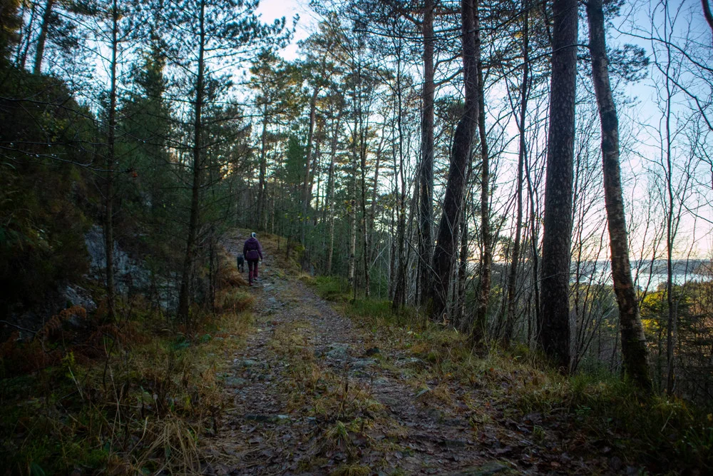
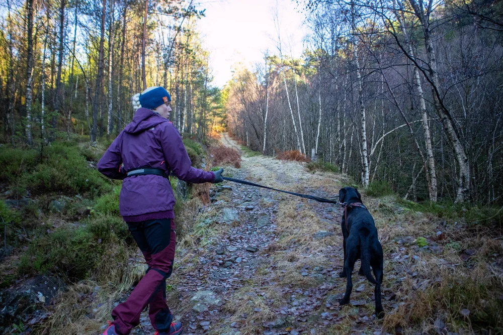
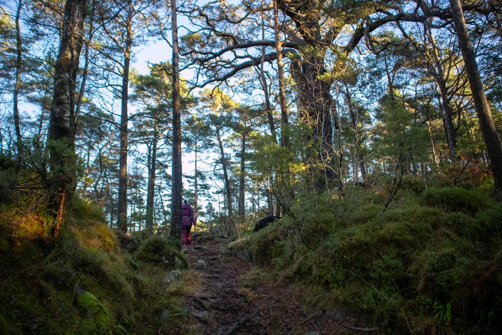
At the end of the water you will come to a junction. Here is a new sign with the destination. Follow the forest road to the left up the hill. Now the forest road turns south-west and you have to go up some moderately steep hills.

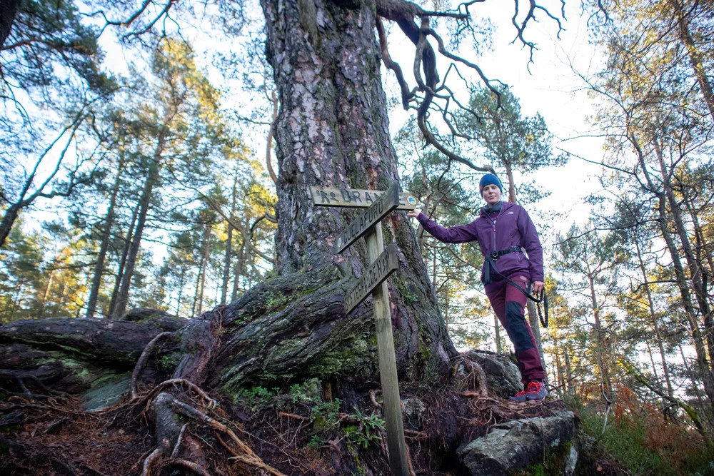
After a long stretch, turn left and the forest road turns into a path. Follow the path on the right through the marsh. It is a steady climb and after a while you will come to the large Gjelafuro tree.
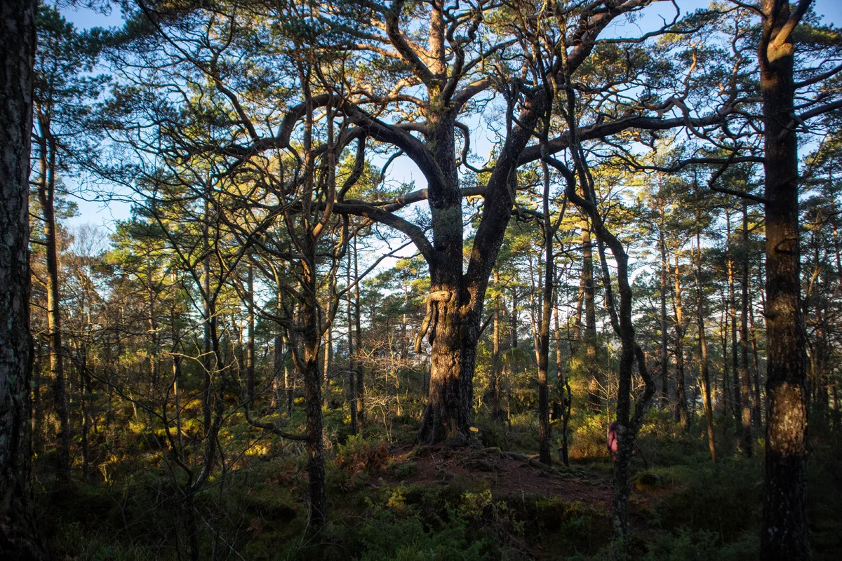
This magnificent pine tree is believed to be several hundred years old. The tree has a trunk circumference of 3-4 meters and extremely thick branches. There are no other trees in the area that are of a similar age.


Have a good trip!

Information

Gjelafuro (189 m.)
Length round trip approximately 3.6 km.
Time: approximately 1 hour round trip.
Season: All year round.
This hike is easy and suitable for most people. Note that there are some boggy sections towards the end so good shoes are recommended.
Grading: Simple

Processing elevation data.. .

You use GPX files that you download from our server 100% at your own risk.

Accommodation nearby

Hiking nearby