The GPX Track is for guidance only and may contain errors. Use at your own risk.
– always check maps, weather and conditions before your trip.
Lyshornet is perhaps the most visited peak in the entire Bjørnafjorden, and the most popular route starts from Lysekloster. From the ruins, walk about 100 meters on a path until you come to a gravel road. Here, turn left, walk about 100 meters, and then onto a New gravel road on the right. Follow this road inland.
When the uphill climb begins, you can either choose to follow the path through the spruce forest or continue on the gravel road that curves upwards. A short Distance up the slope you leave the gravel road, and the last part continues on the path through the spruce forest. The path is clear and there are a lot of rocks. The last part to the top is steep and partly on stairs.
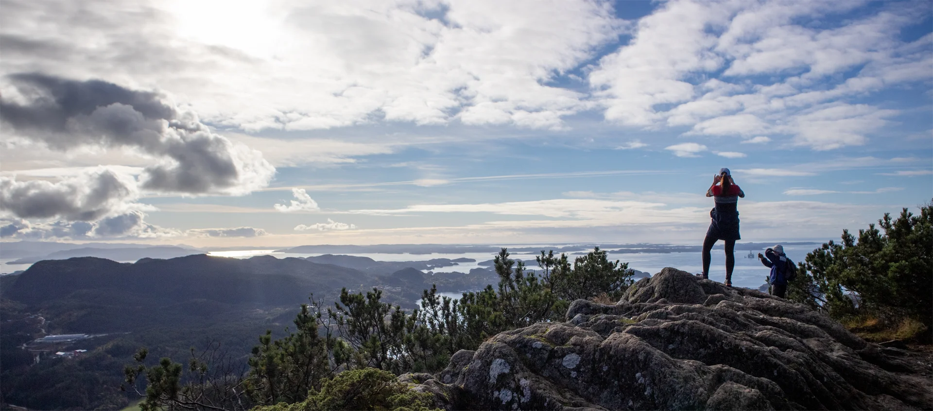
At the top you will find a mailbox with a tour book and a fantastic view of nearby peaks and south towards Bjørnafjorden.