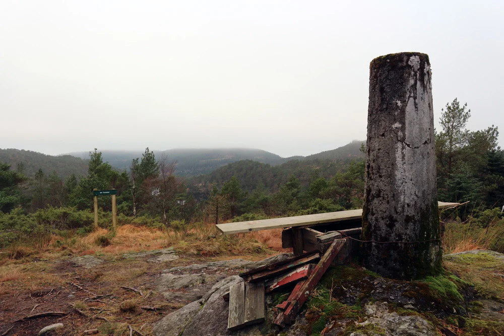
Tereleit (245 m) from Kismul
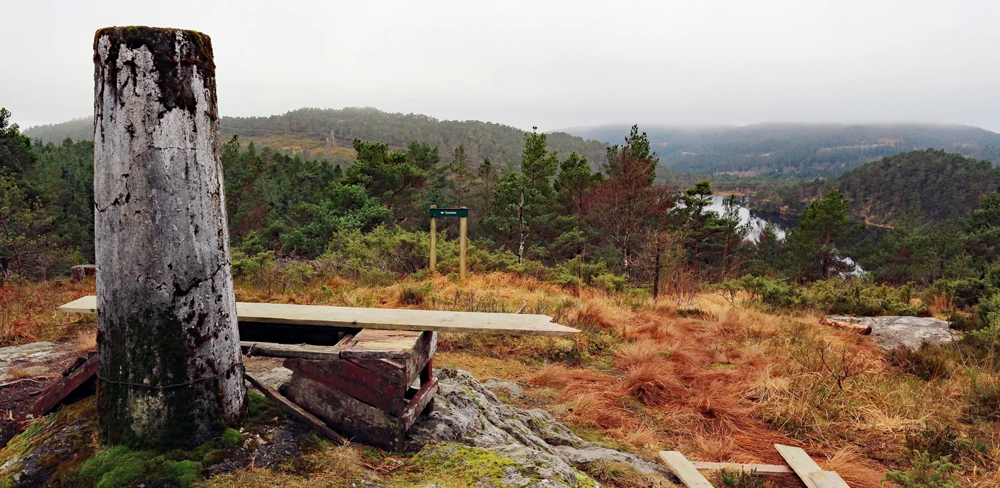
Tereleitet (245 moh) fra Kismul
Photo: Admin

The GPX Track is for guidance only and may contain errors. Use at your own risk.
– always check maps, weather and conditions before your trip.

Access

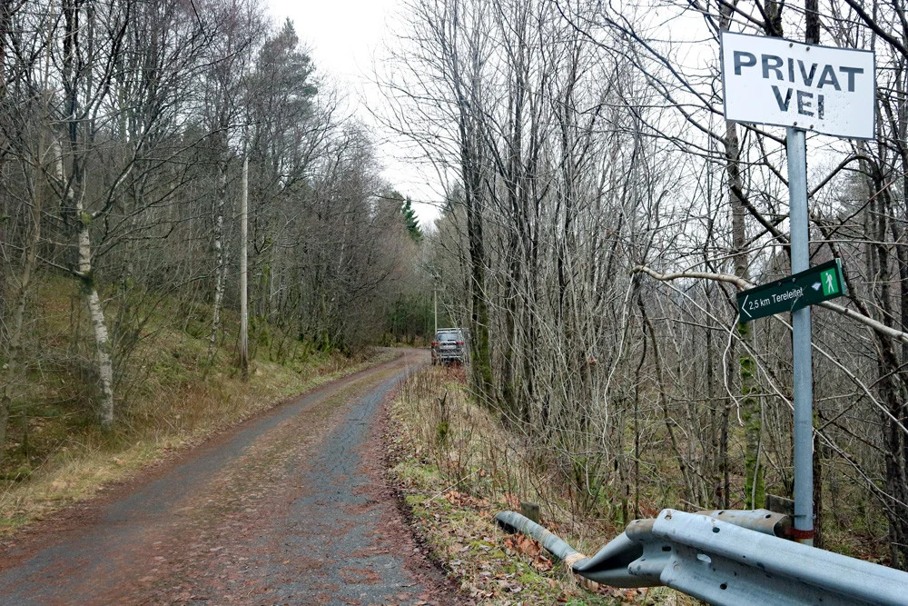
Fra Bergen kjører til Nesttun og så videre mot Os. Når du kommer til Kaland / Bilbutikken MB Auto kjører du til høyre inn Kismulveien.  Følg veien ca 2 cm. og kjør inn til venstre hvor det er merket 'Kismul vannbehandlingsanlegg.'.

Parking

Free parking along Kismulveien.

Description

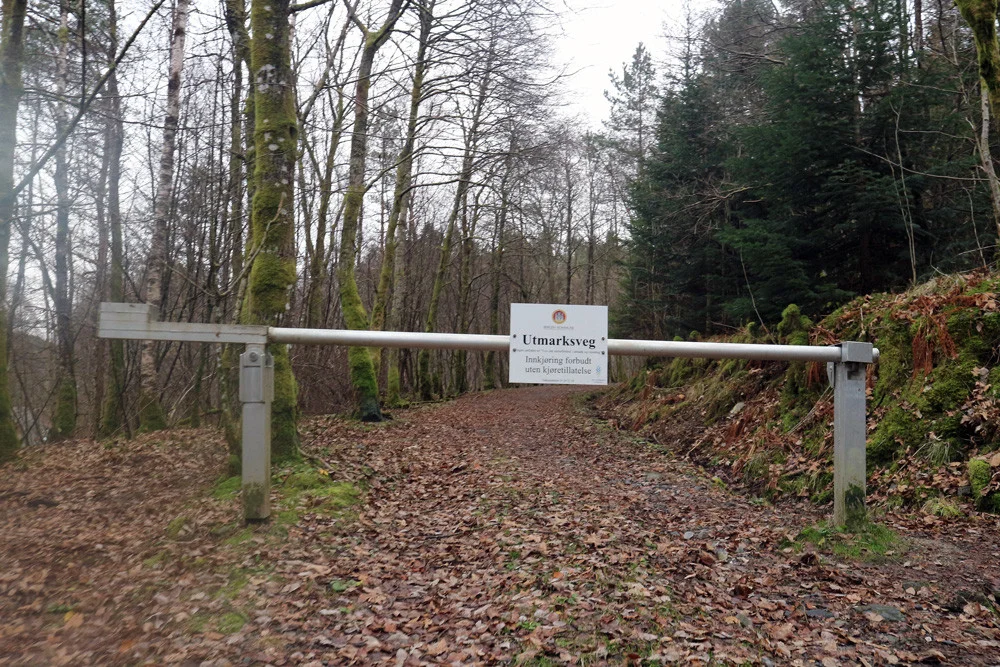
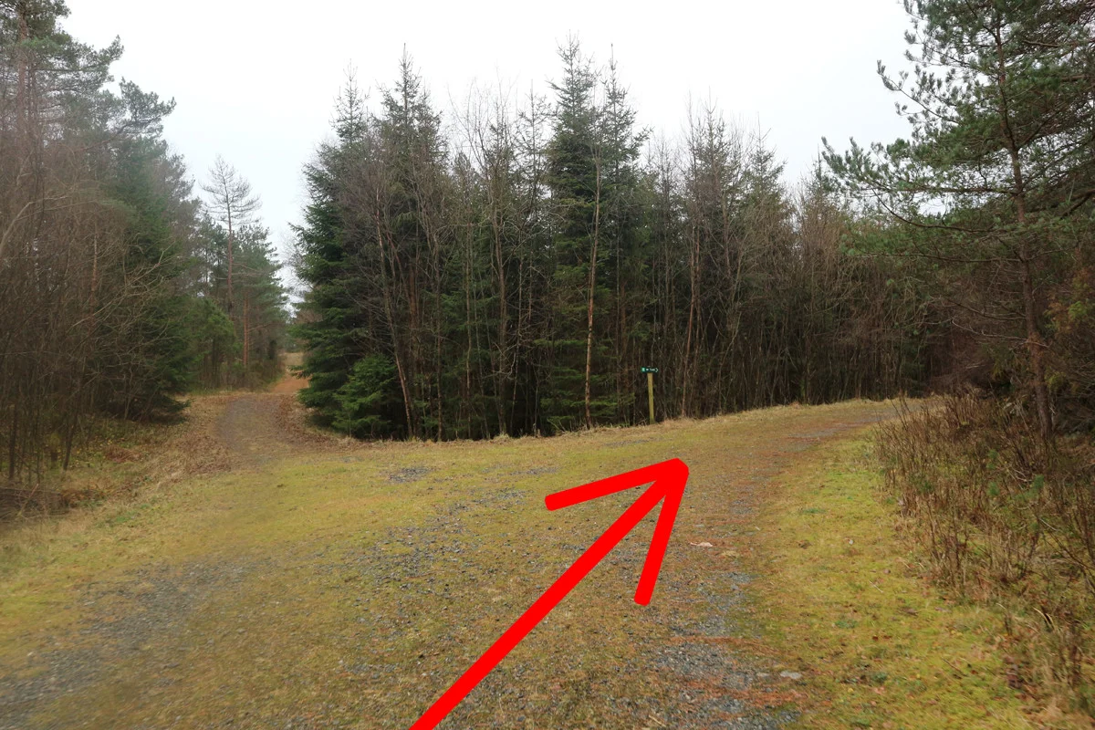
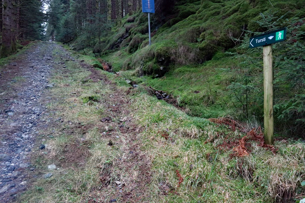
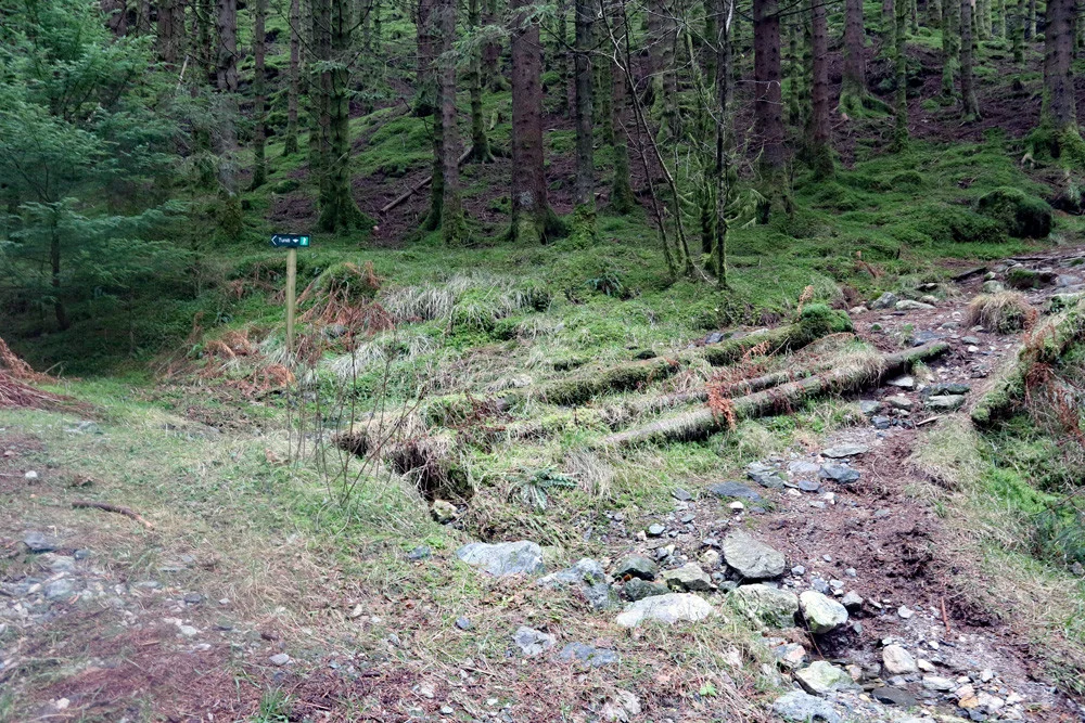
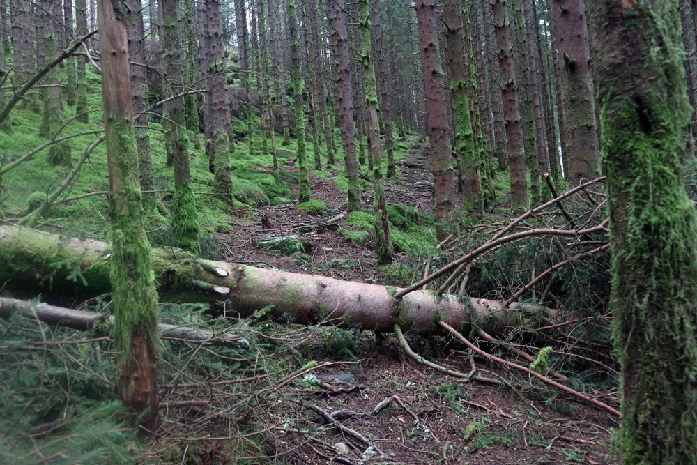
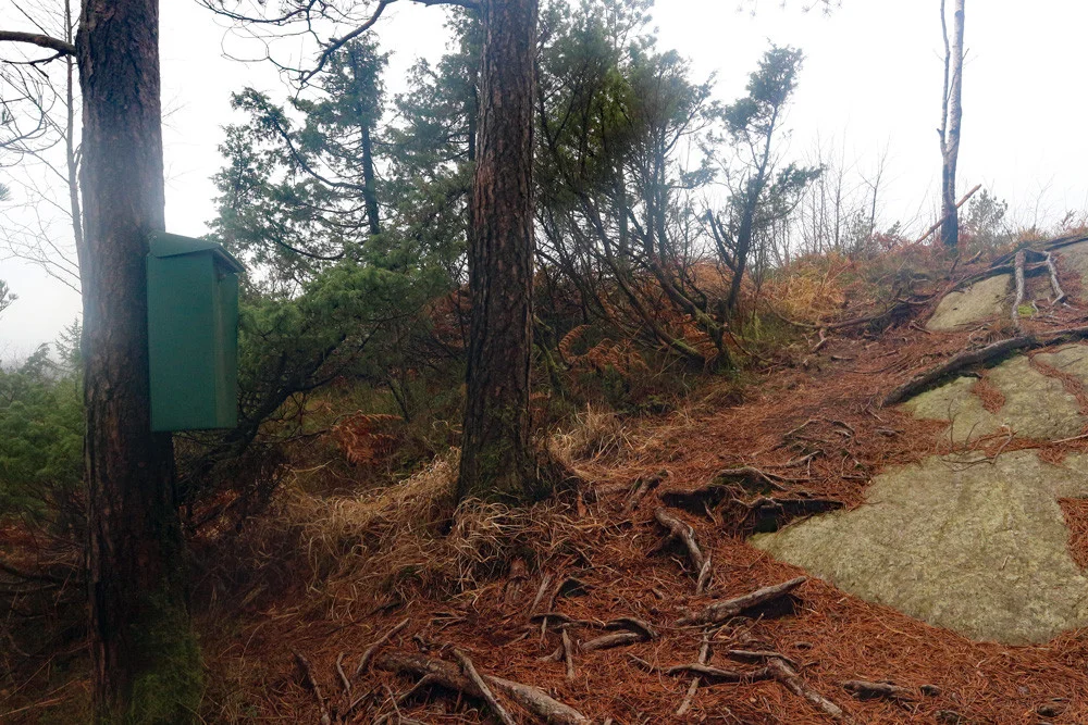
Great hike on the road and trail from Kalandsvannet/Kismul and up to the Tereleitet viewpoint.

Information

Tereleiet (245 m.)  
Length round trip approximately 4.8 km.
Time: 1-2 hours round trip.
Season: All year round.
Grading: Simple

Processing elevation data.. .

You use GPX files that you download from our server 100% at your own risk.

Accommodation nearby

Hiking nearby