Bergen along the 3rd stage Birkelandsfjellet
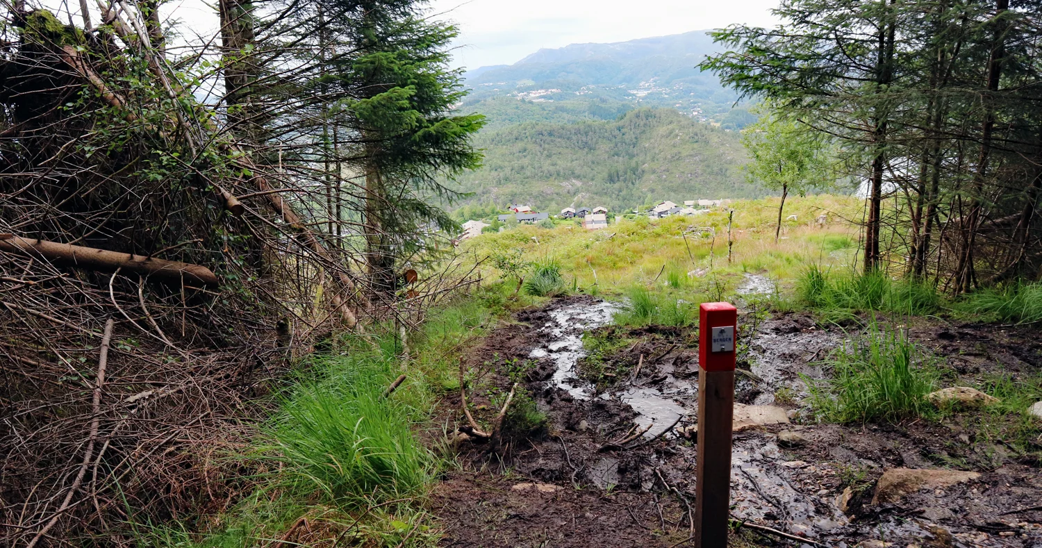
Photo: Admin

Processing elevation data.. .
You use GPX files that you download from our server 100% at your own risk.
Accommodation nearby


Hiking nearby

Distance
0.46 Km


