Smøråsen - Hiking area in Fana
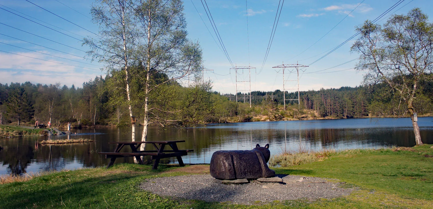
Smøråsen - Turområde i Fana
Photo: Admin

The GPX Track is for guidance only and may contain errors. Use at your own risk.
– always check maps, weather and conditions before your trip.

Access

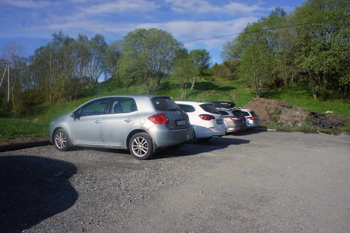
From Nesttun, drive onto Apeltunvegen behind the gas station in Skjoldskiftet. Follow the road into the flat past the 30-meter probe and turn left onto Smøråsvegen. Drive through the bends towards the top, turn right onto Nøttveitvegen and then drive all the way up to the hiking park.

Parking

Free parking at the top.

Description

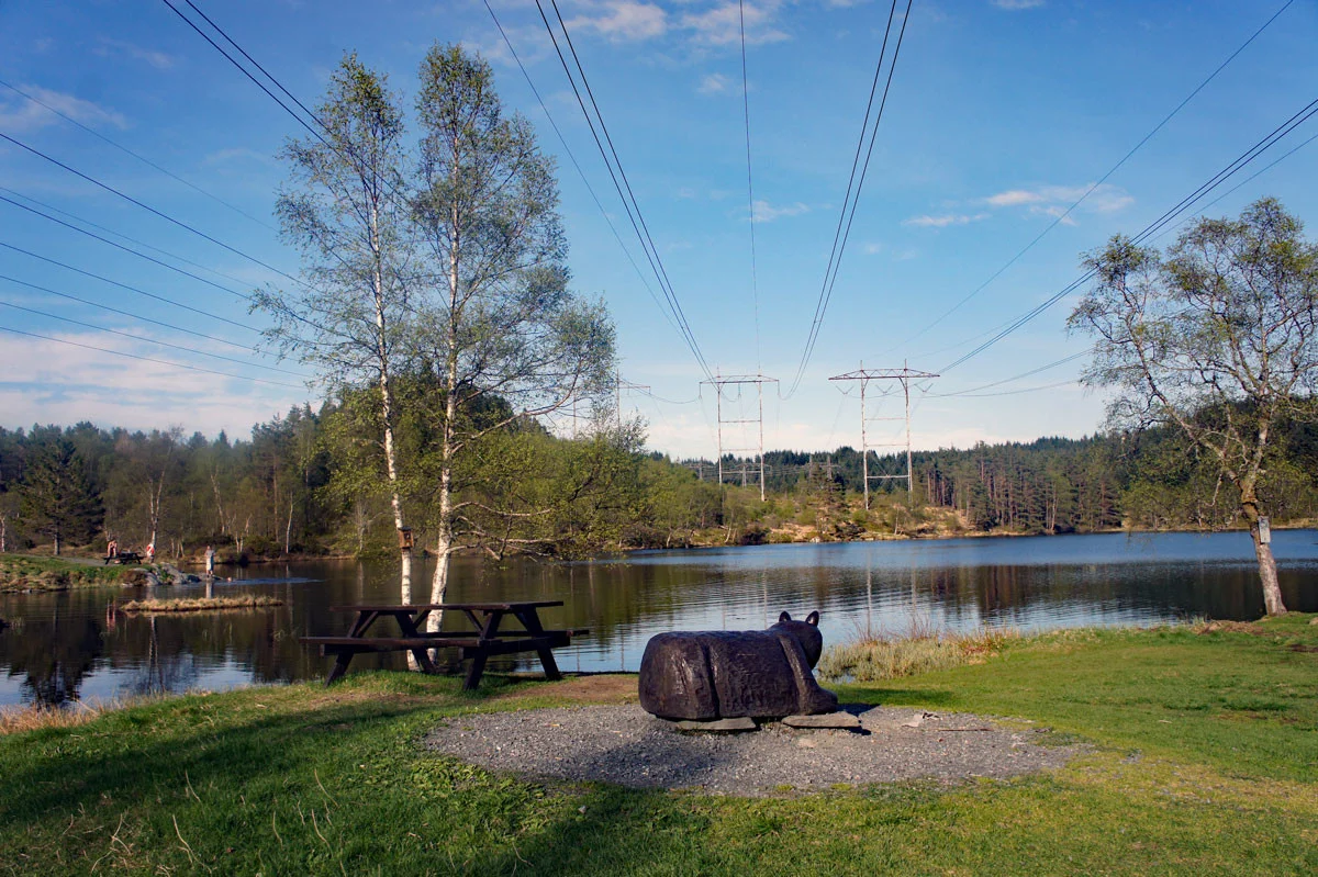
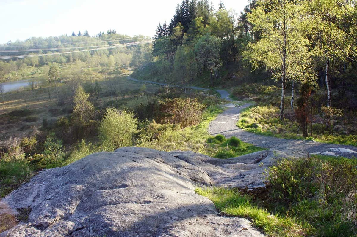
Smøråsen is a popular hiking area in Fana. The hike around Bjørnavatnet is perfect for both adults and children.

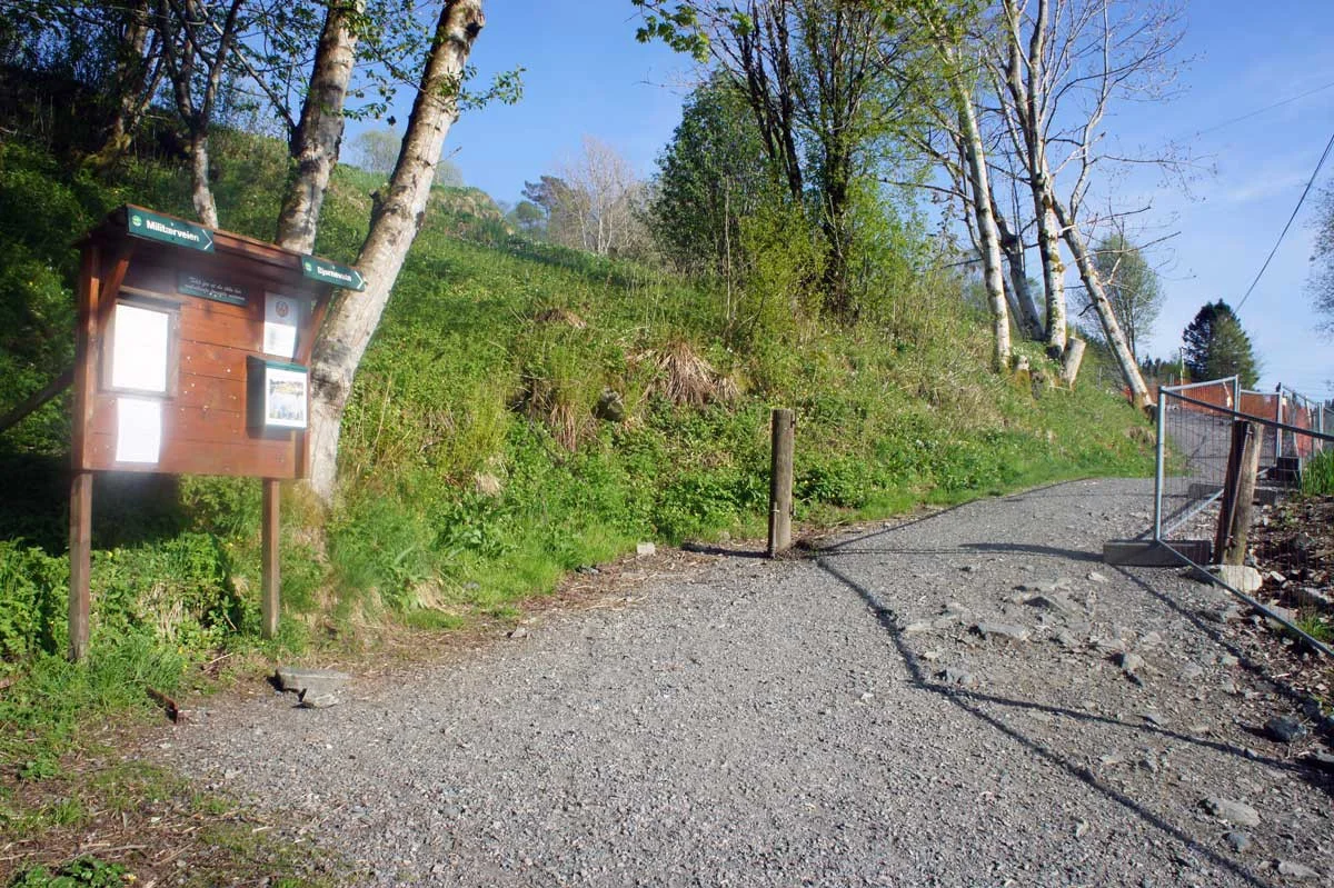
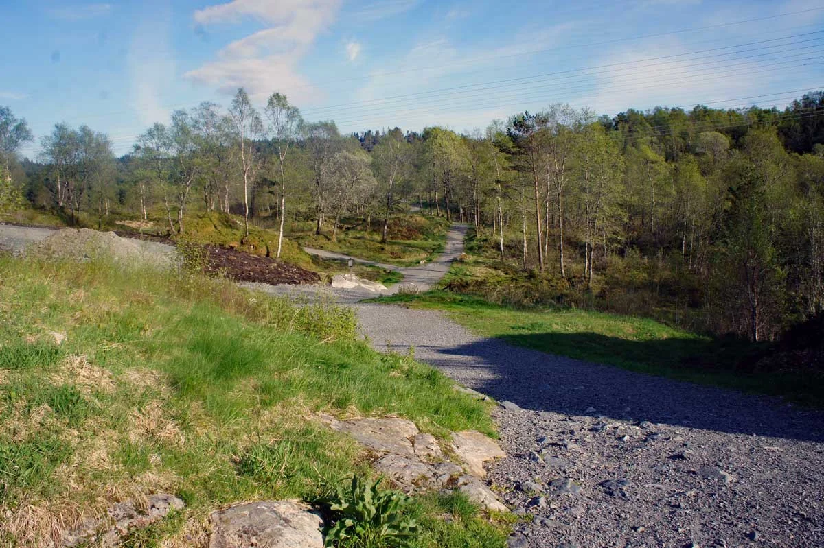
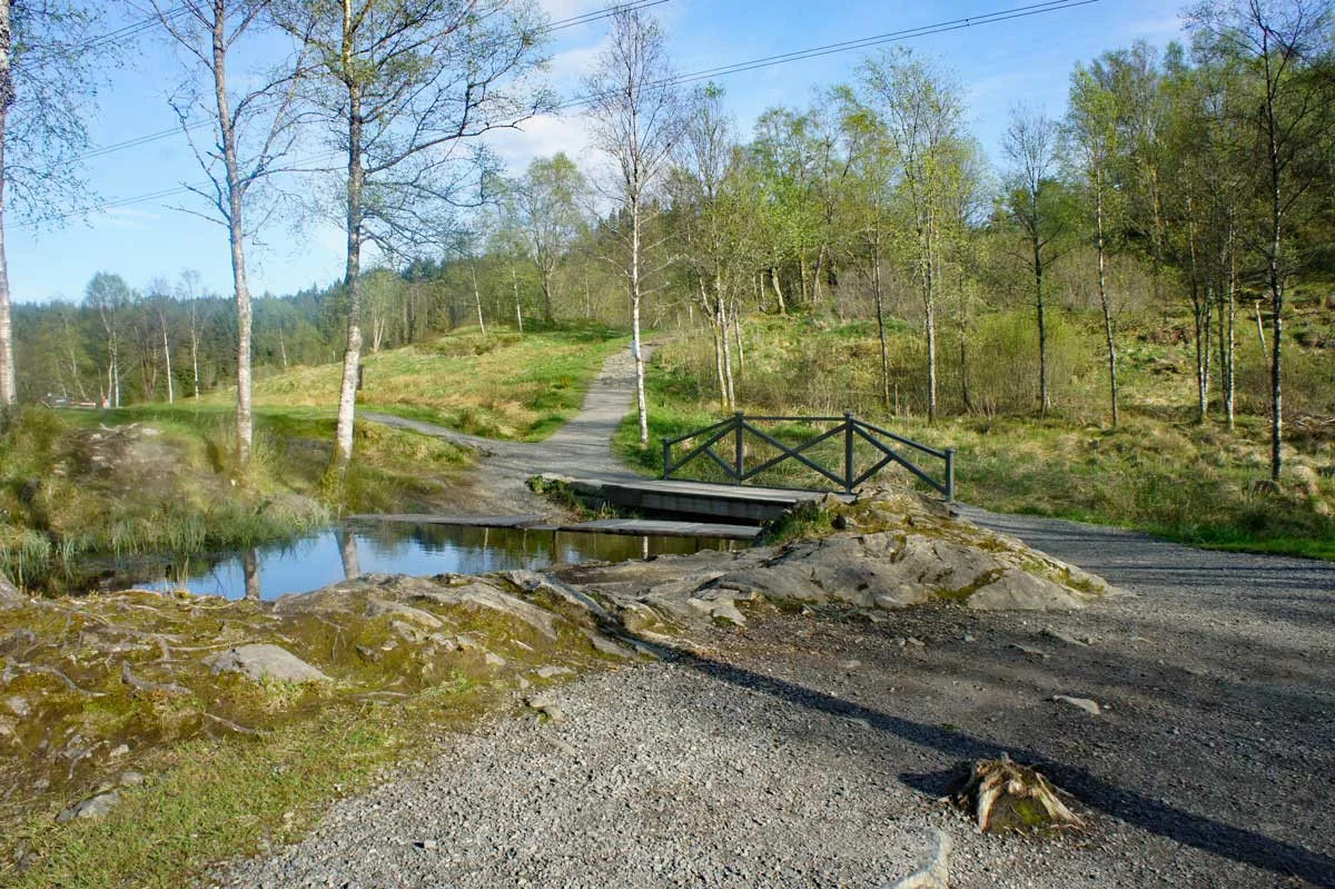
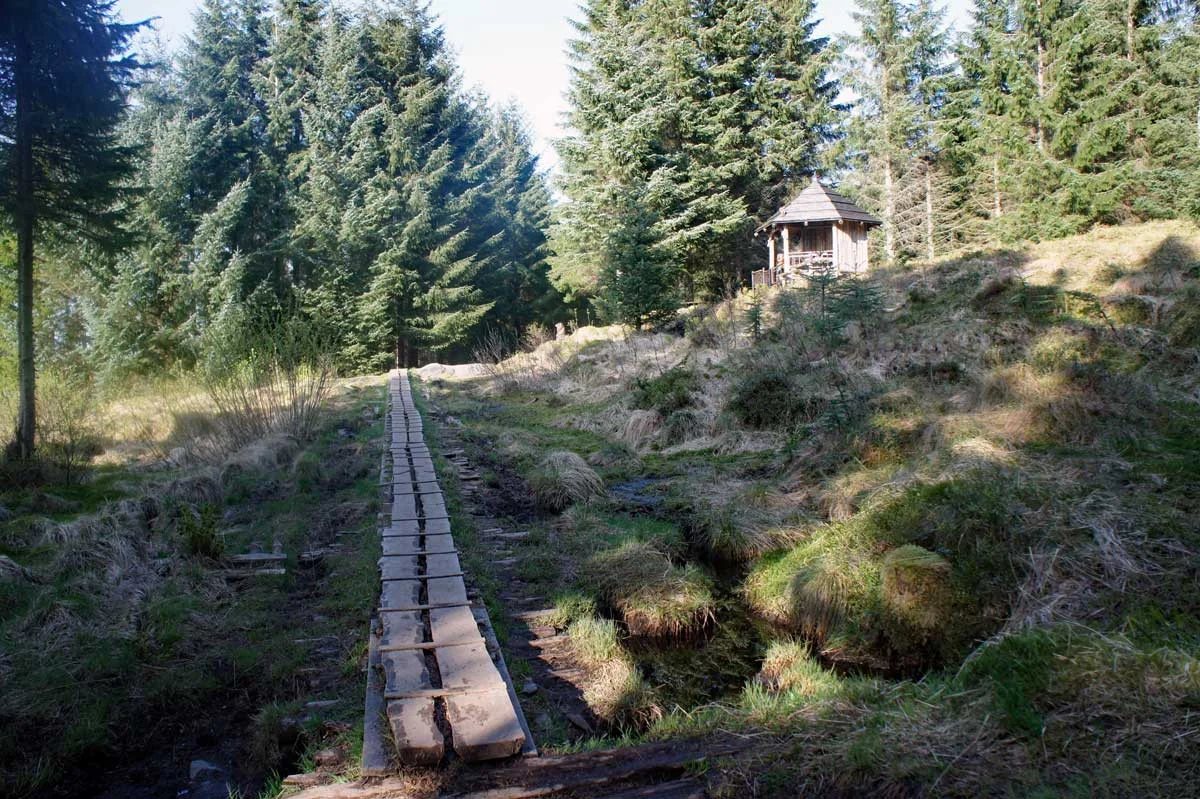
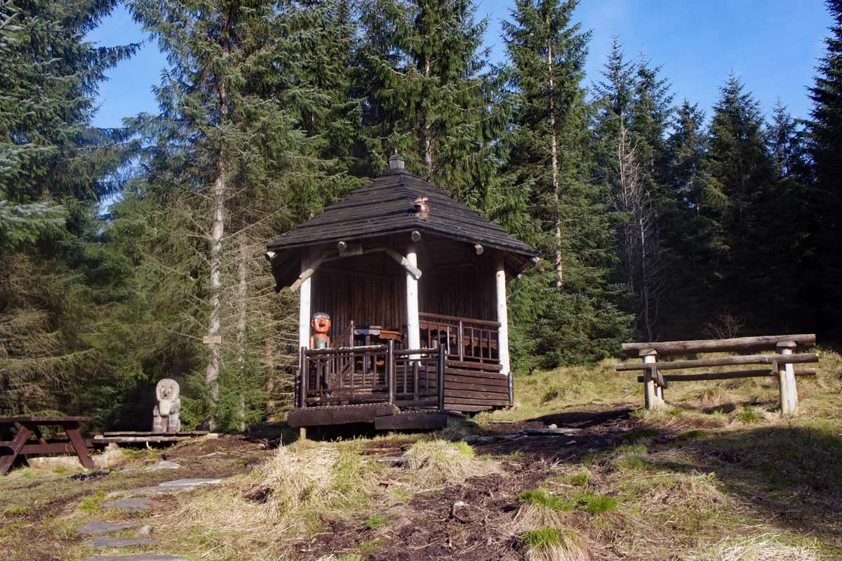
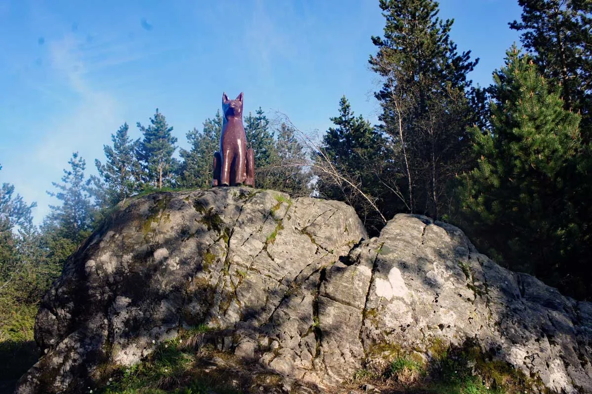
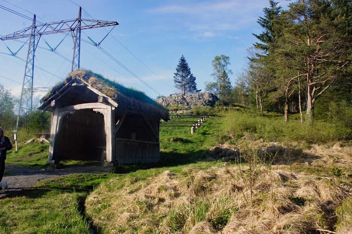
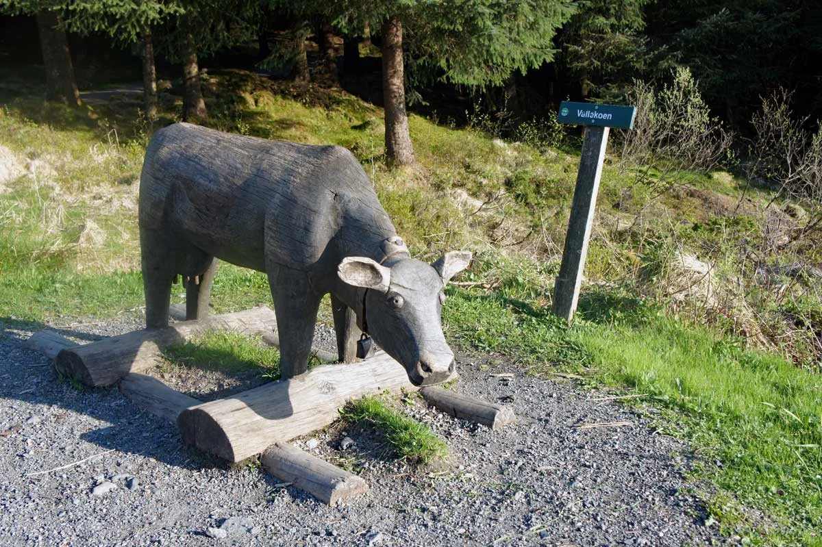
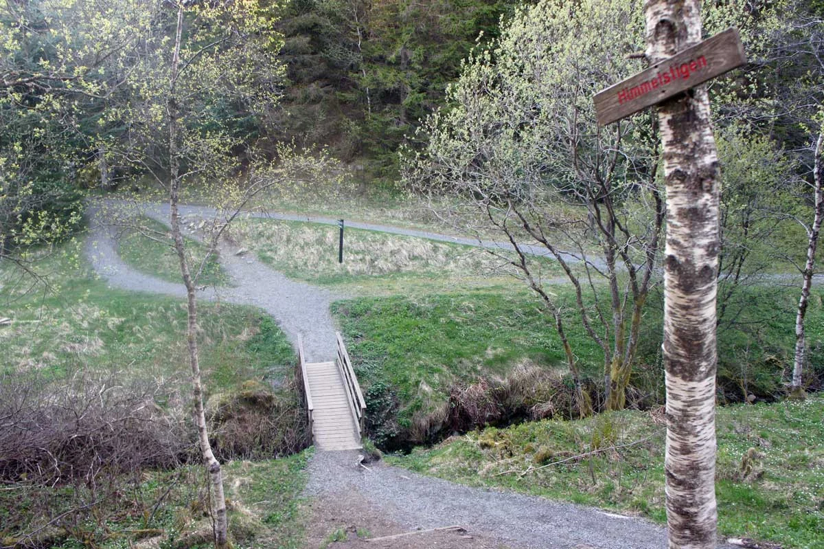
Follow the gravel road to Bjørnevatnet. There is an area for swimming and barbecues here. Follow the road to the right of the water to walk around the lake. Notice all the bird boxes and the funny figures carved into the trees. There are also many shelters and cabins where you can take refuge from the rain.

Information

Length of round trip: 3.6 km.
Season: All year round.
Highest point: approx. 250 m.
Grading: Simple

Processing elevation data.. .

You use GPX files that you download from our server 100% at your own risk.

Accommodation nearby

Hiking nearby