
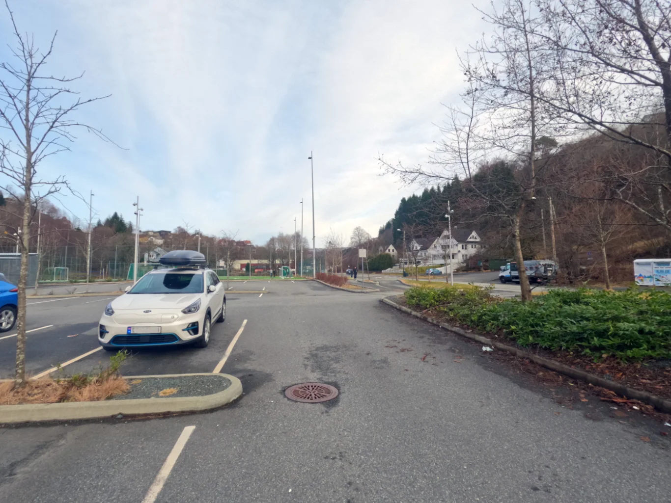
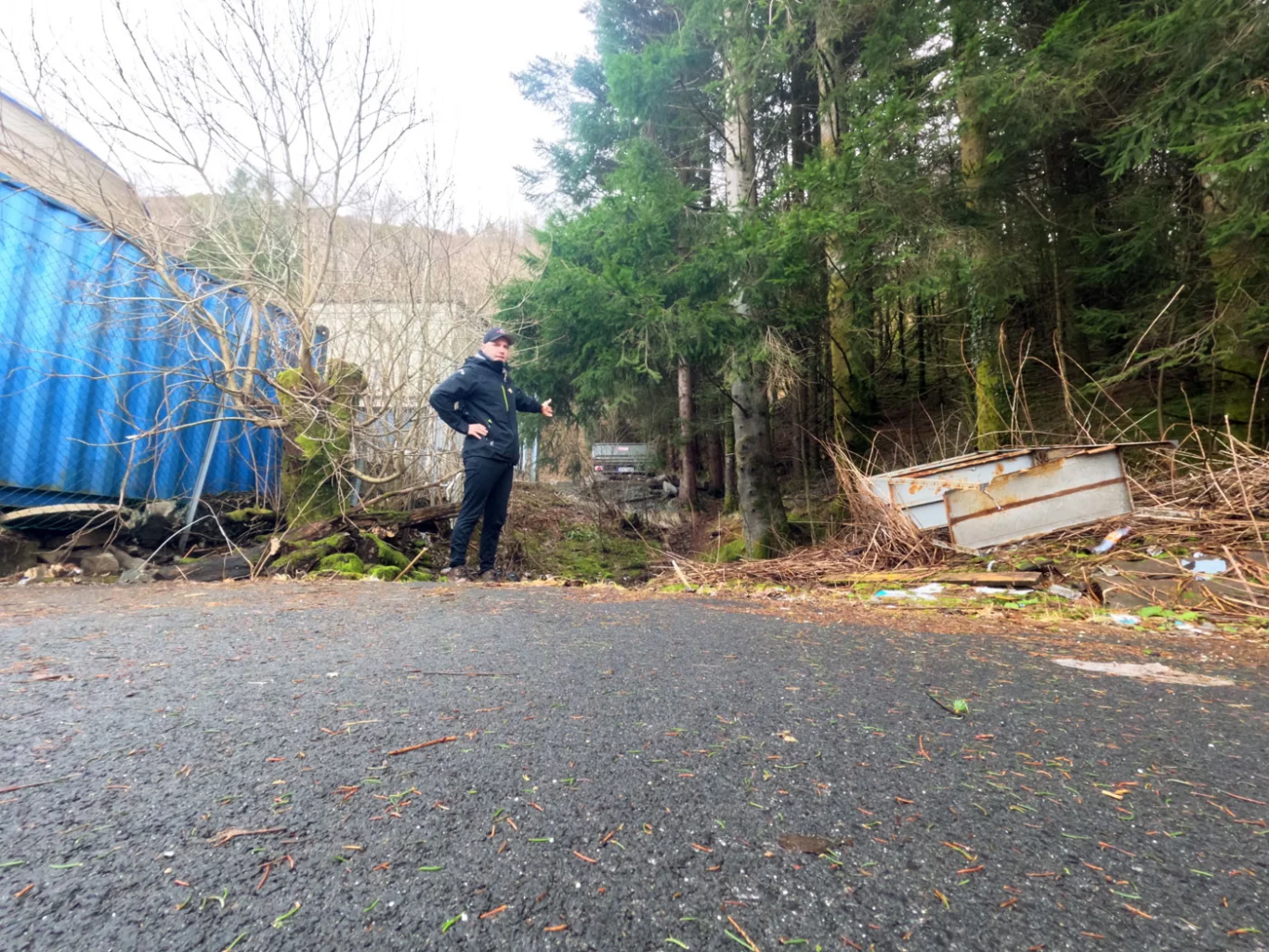
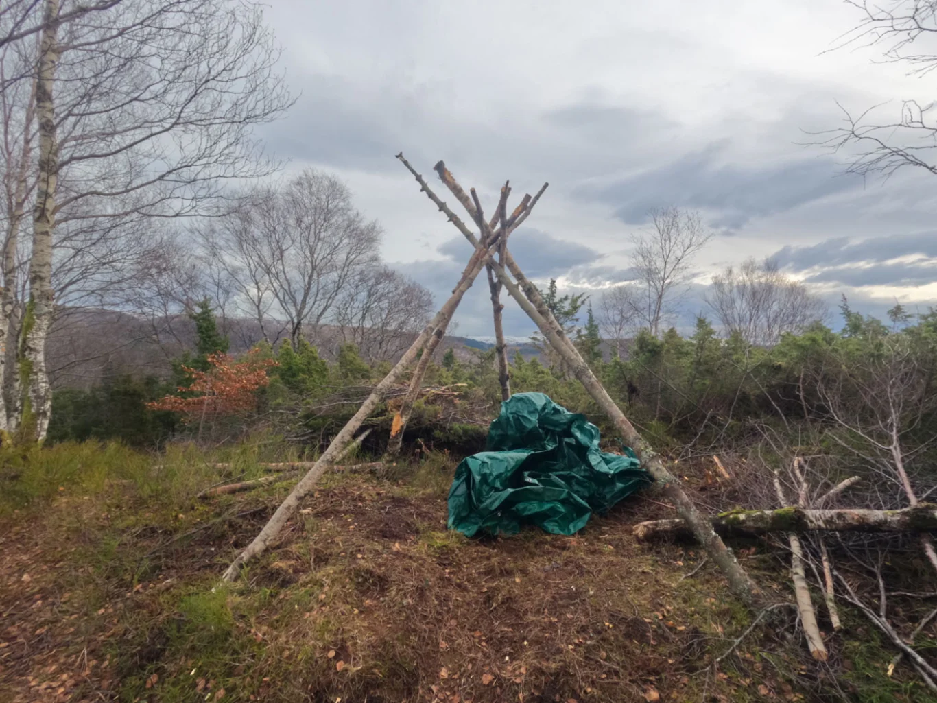
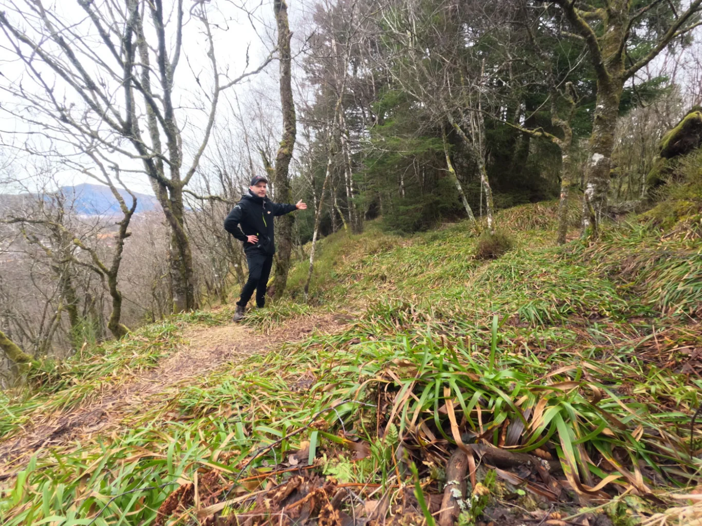
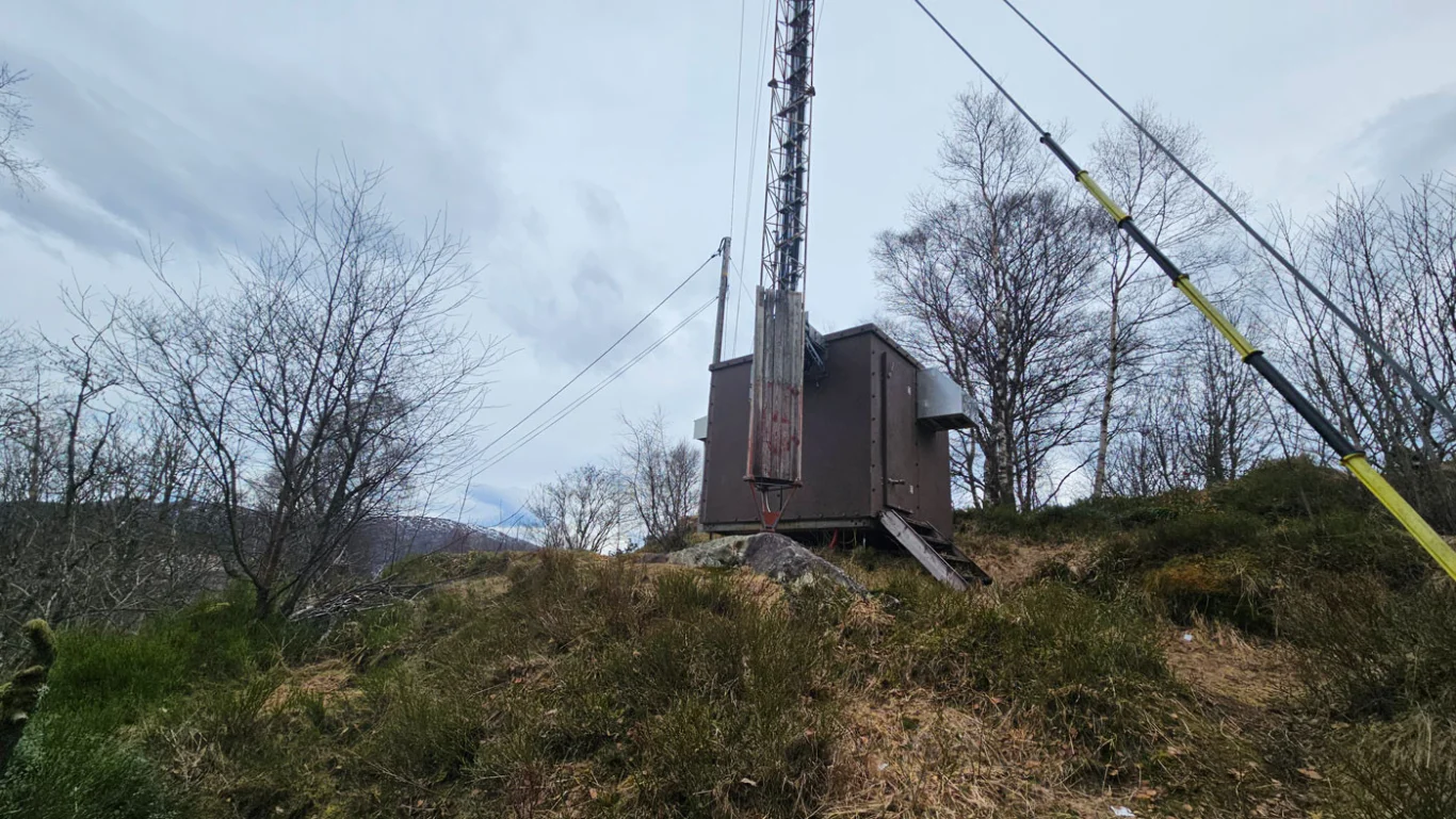
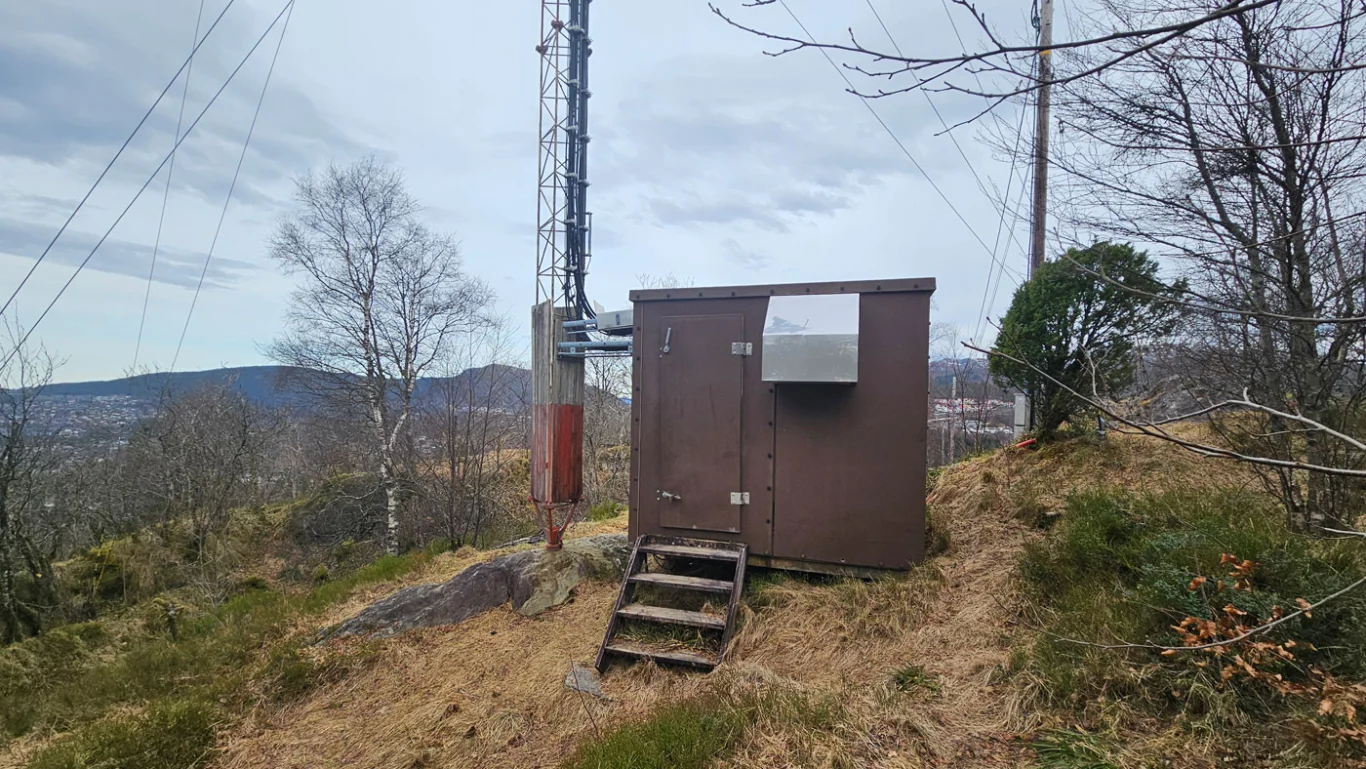
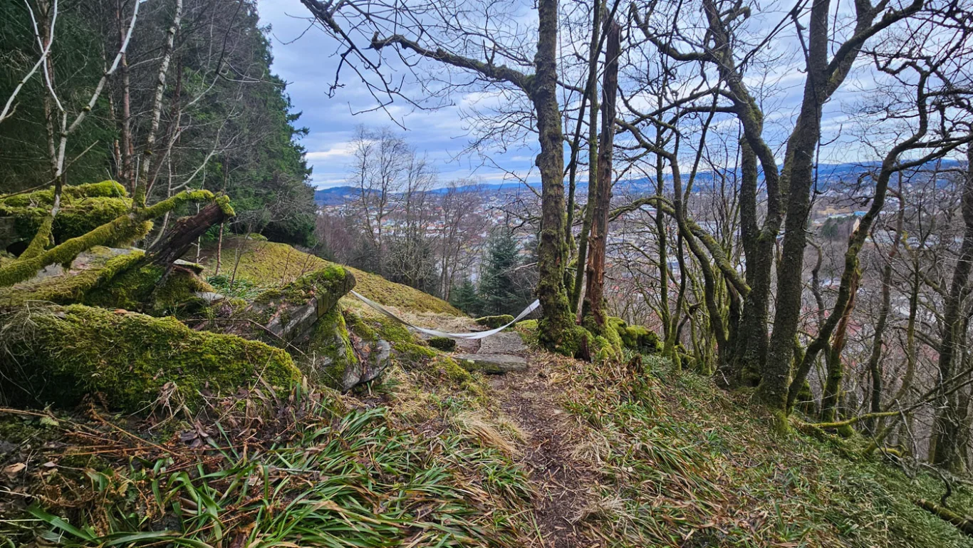
Hike over Dyngelandsåsen
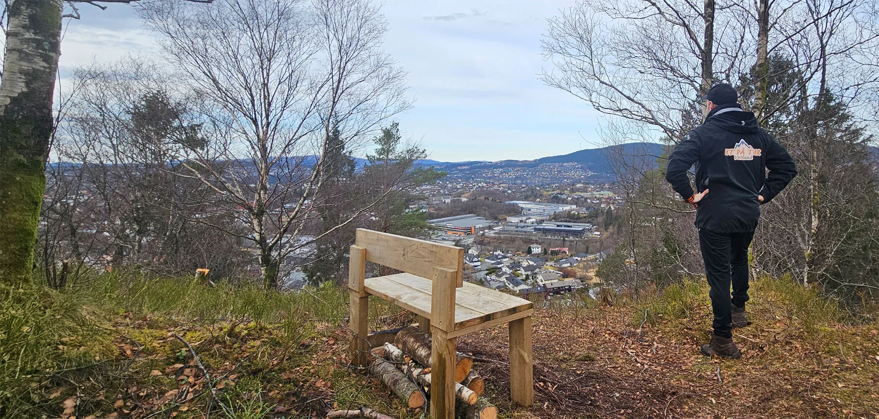
Vandretur over Dyngelandsåsen
Photo: Admin

The GPX Track is for guidance only and may contain errors. Use at your own risk.
– always check maps, weather and conditions before your trip.

Access

Approximately 15 minutes (11.6 km) drive from Bergen city center.

Parking

Parking by the football field at Ulsmåg School. Do not park here before 5 pm on weekdays.

Description

This is an easy hike over Dyngelandsåsen, which starts at Ulsmåg School.

Walk along Ulsmågveien past several industrial buildings. Cross the road at the 'car rental company' and go into the left side of the industrial building. Here a path leads into the forest and up the hill. At the top of the ridge, continue walking on the path over the ridge in a northerly direction. First you will come to the viewpoint Tårnnebben, where there is a bench and a great view. This is the only place on the trip with a view. Follow the path further north until you reach the mast (the top of Dyngelandsåsen). Here you can choose to return to the previous crossroads. Go down the path to the right, which leads you down the hill, a little further north than where you came up.

At the mast it is possible to continue the hike across the entire ridge (direction north). But I have yet to find out how good the trail is here.

Information

Length: Approximately 3 km round trip.
Time: Approximately 1 hour
Elevation gain: 130 meters
Season: All year round.
Grading: Simple

Processing elevation data.. .

You use GPX files that you download from our server 100% at your own risk.

Accommodation nearby

Hiking nearby