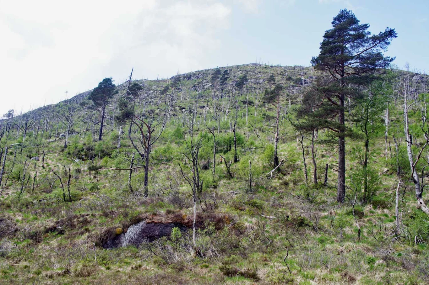
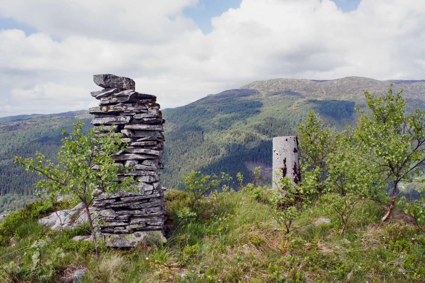
Brattlandsfjellet (377 m) from Furedalen
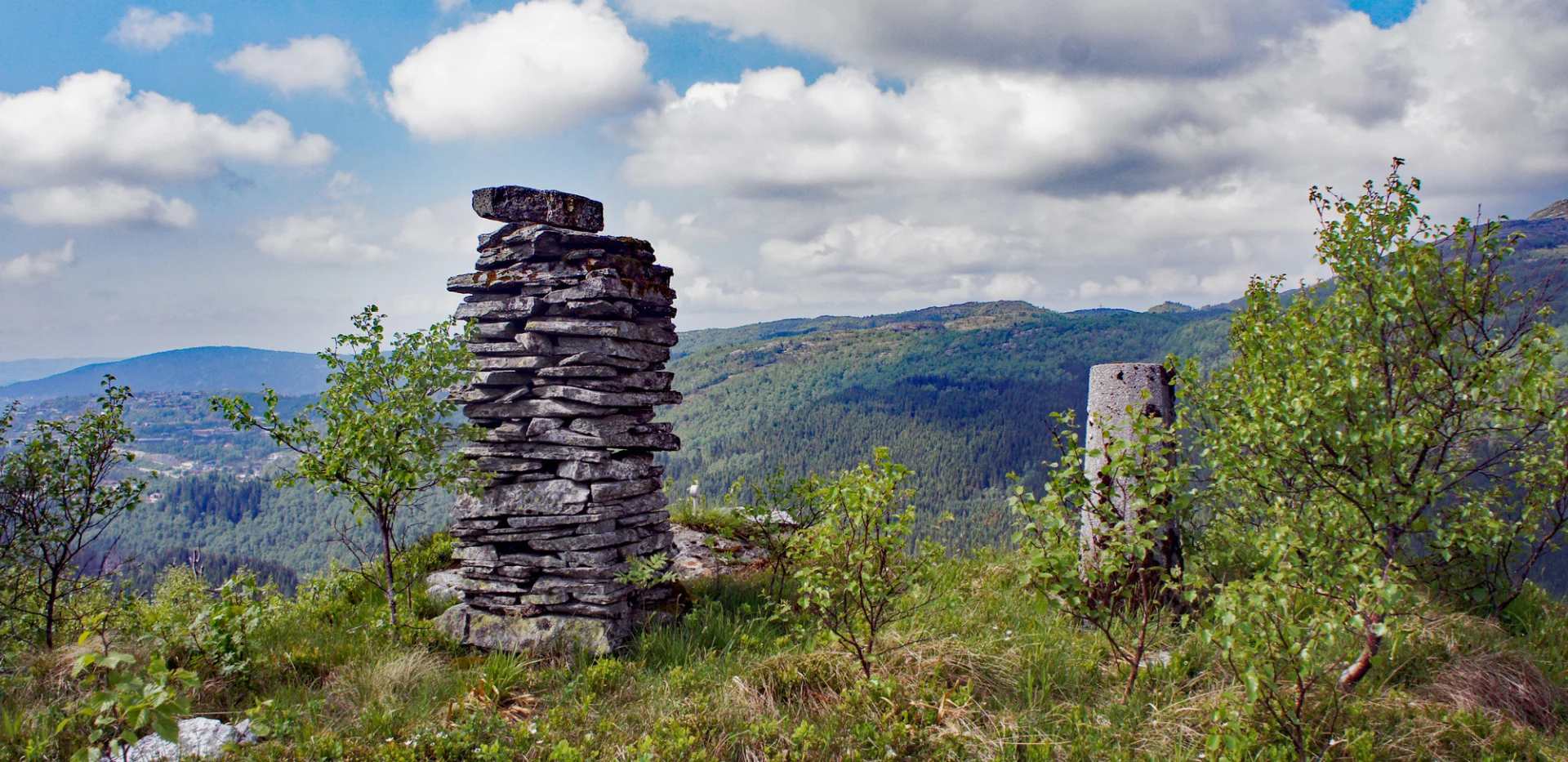
Photo: Admin
Information
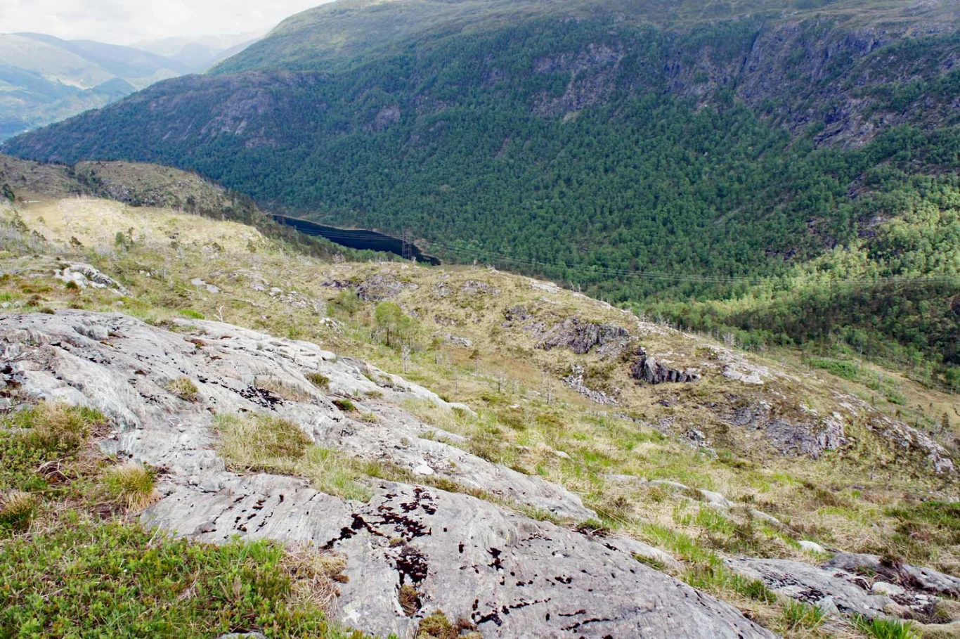
Brattlandsfjellet (377 m.)
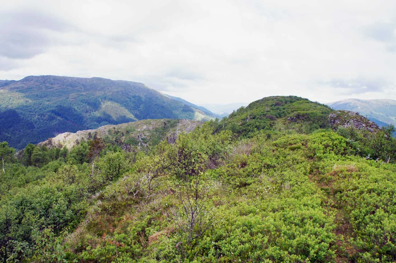
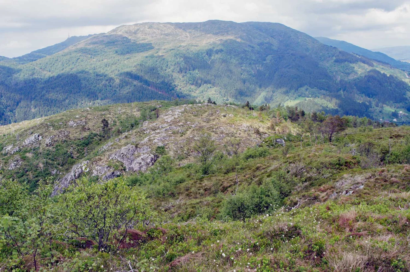
Skavdalsfjellet (421 m)
Length: approx. 5.5 km round trip
Time: about 2-3 hours round trip
Grading: Somewhat demanding
Season: All year round. Some steep sections. Slippery/slippery in some places.
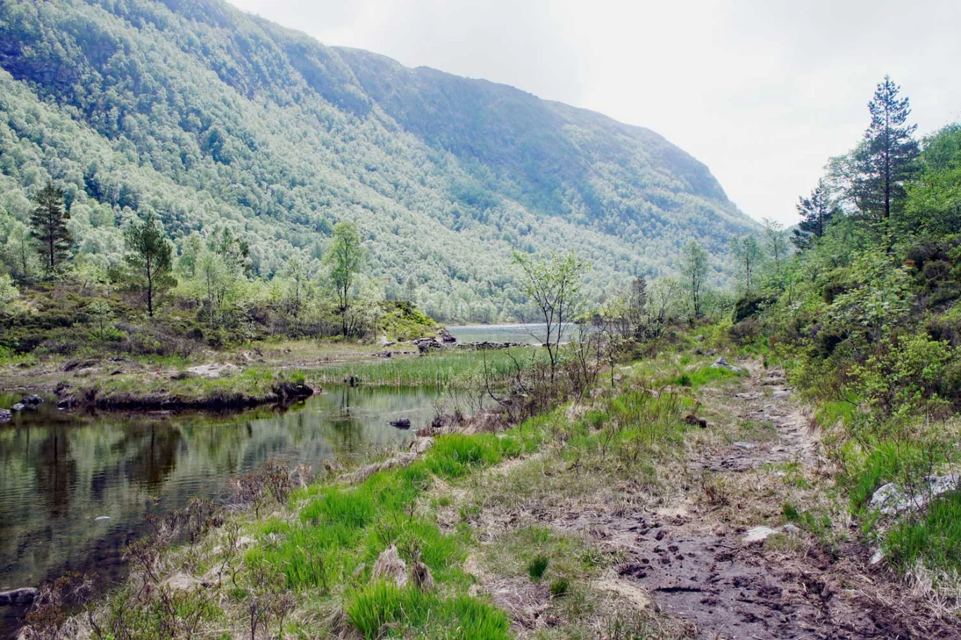
Parking: Parking in a pocket along Søylevatnet.
Skavdalsfjellet (421 m)
Length: approx. 5.5 km round trip
Time: about 2-3 hours round trip
Grading: Somewhat demanding
Season: All year round. Some steep sections. Slippery/slippery in some places.
Parking: Parking in a pocket along Søylevatnet.
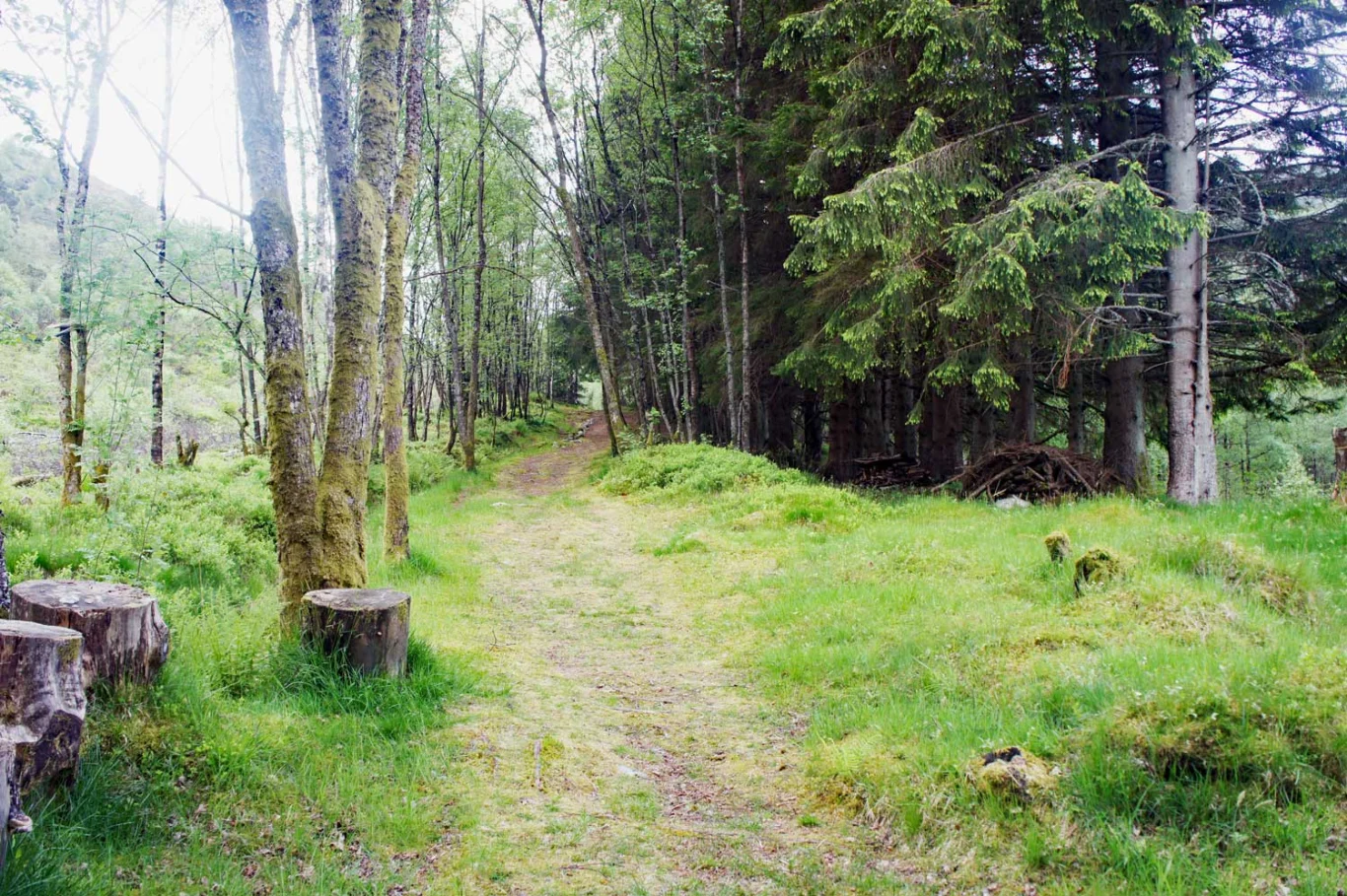
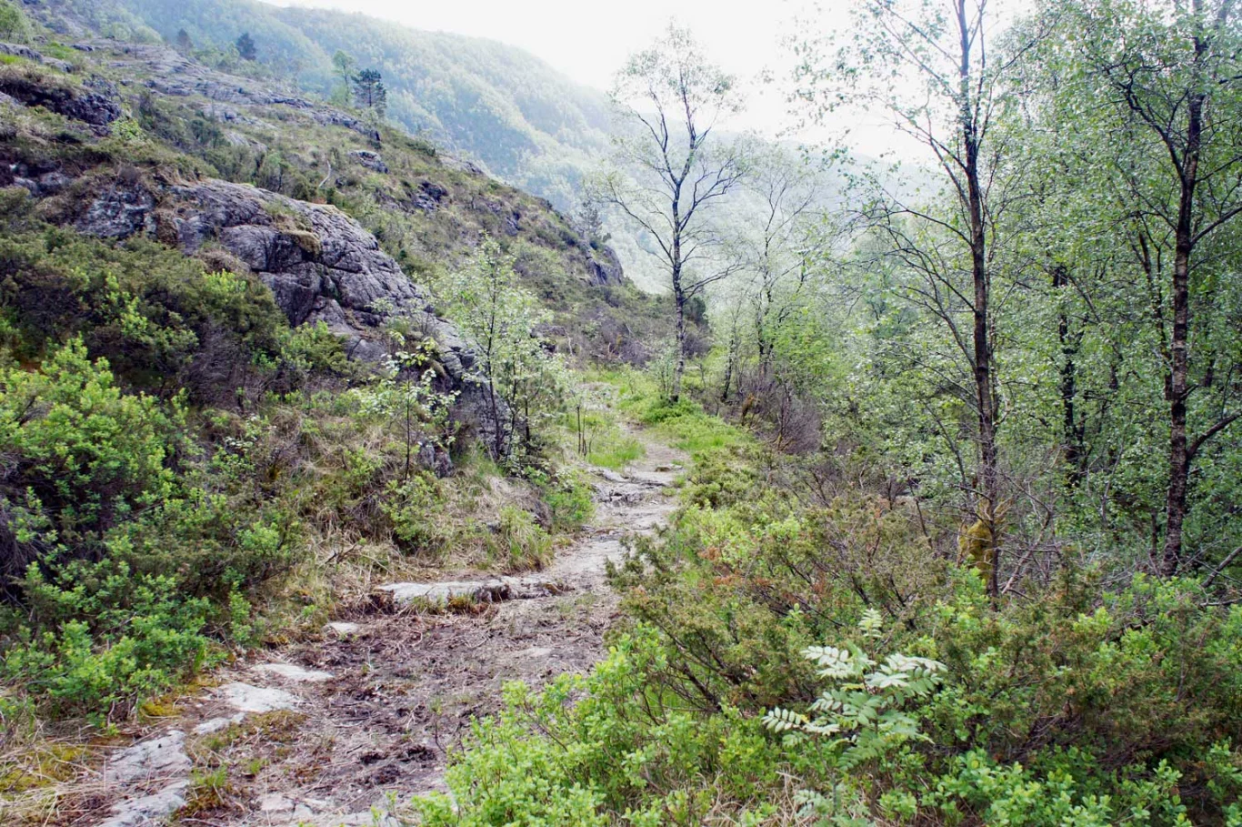
Type: This trip is suitable for those with special interests as there is poor trail and markings on parts of the road.

Processing elevation data.. .
You use GPX files that you download from our server 100% at your own risk.
Accommodation nearby


Hiking nearby

Distance
0 Km

Distance
0.77 Km


Distance
1.93 Km


