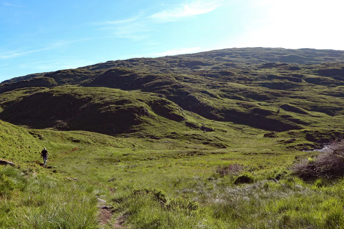
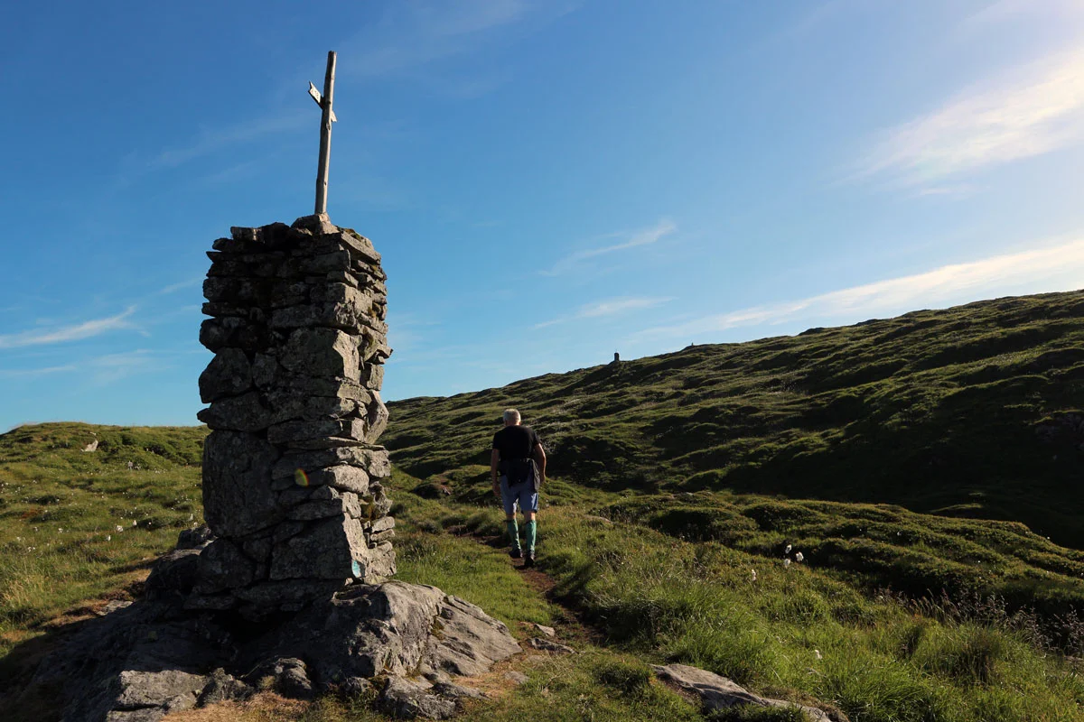
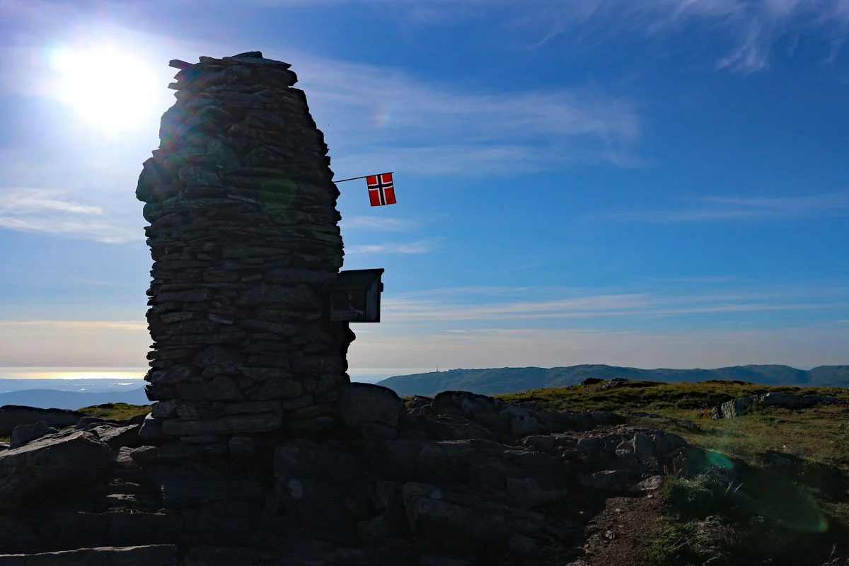
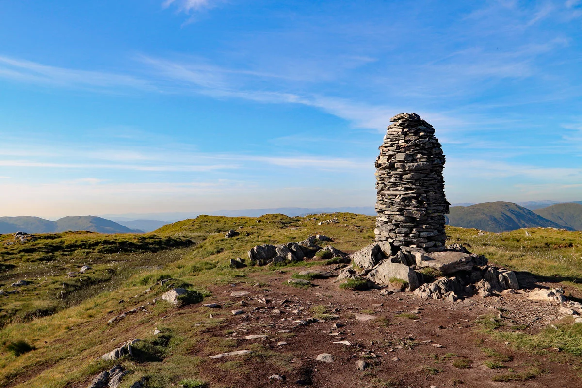
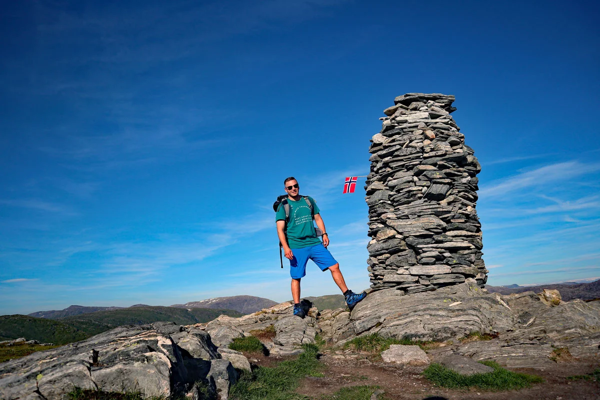
Mountain hike to Livarden (683 m) from Bontveit
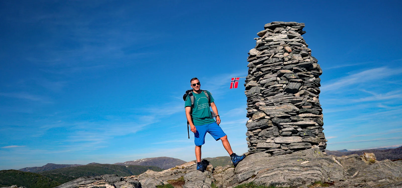
Photo: Admin

Processing elevation data.. .
You use GPX files that you download from our server 100% at your own risk.
Accommodation nearby


Hiking nearby


Hot
Distance
1.17 Km

Distance
1.59 Km


Distance
2.28 Km


