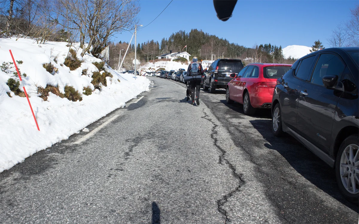
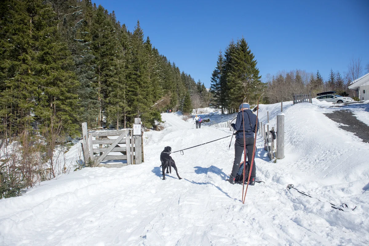
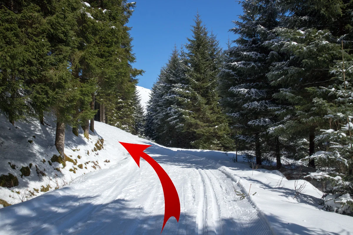
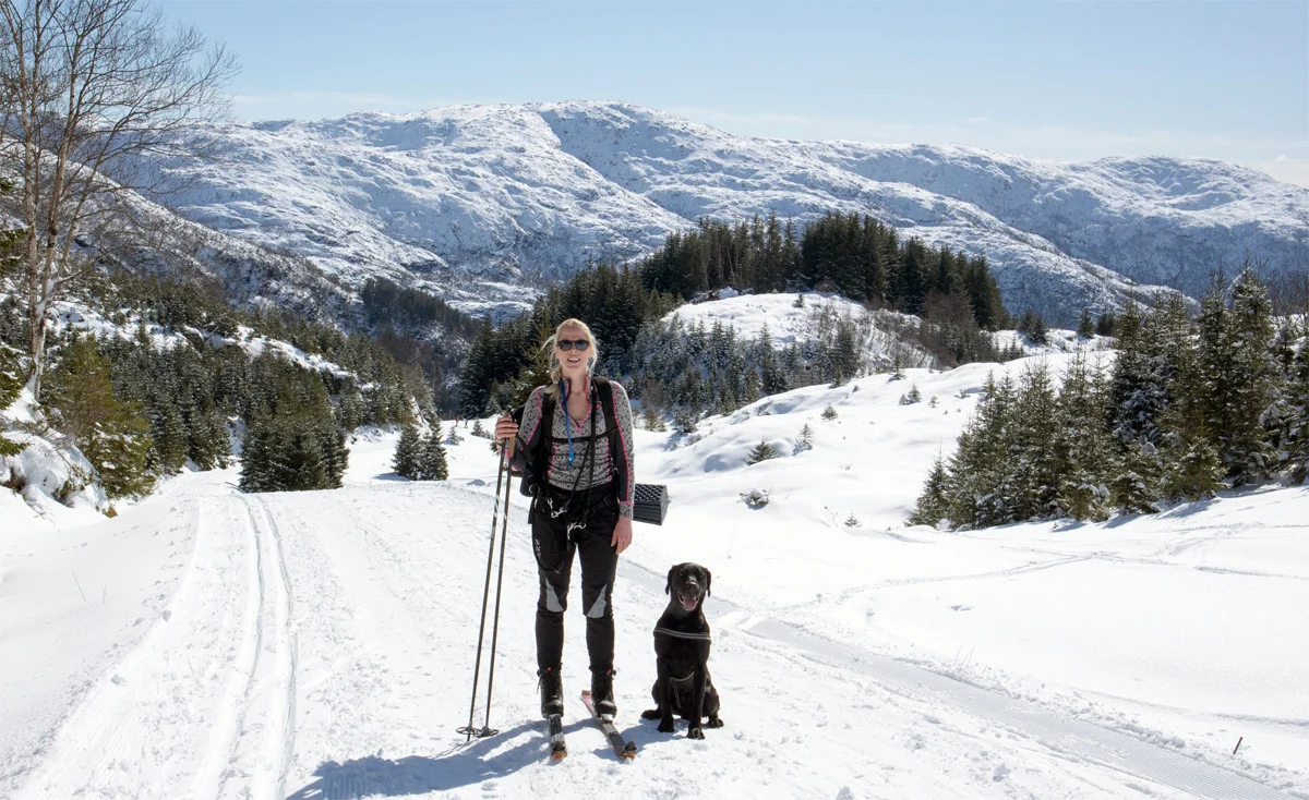
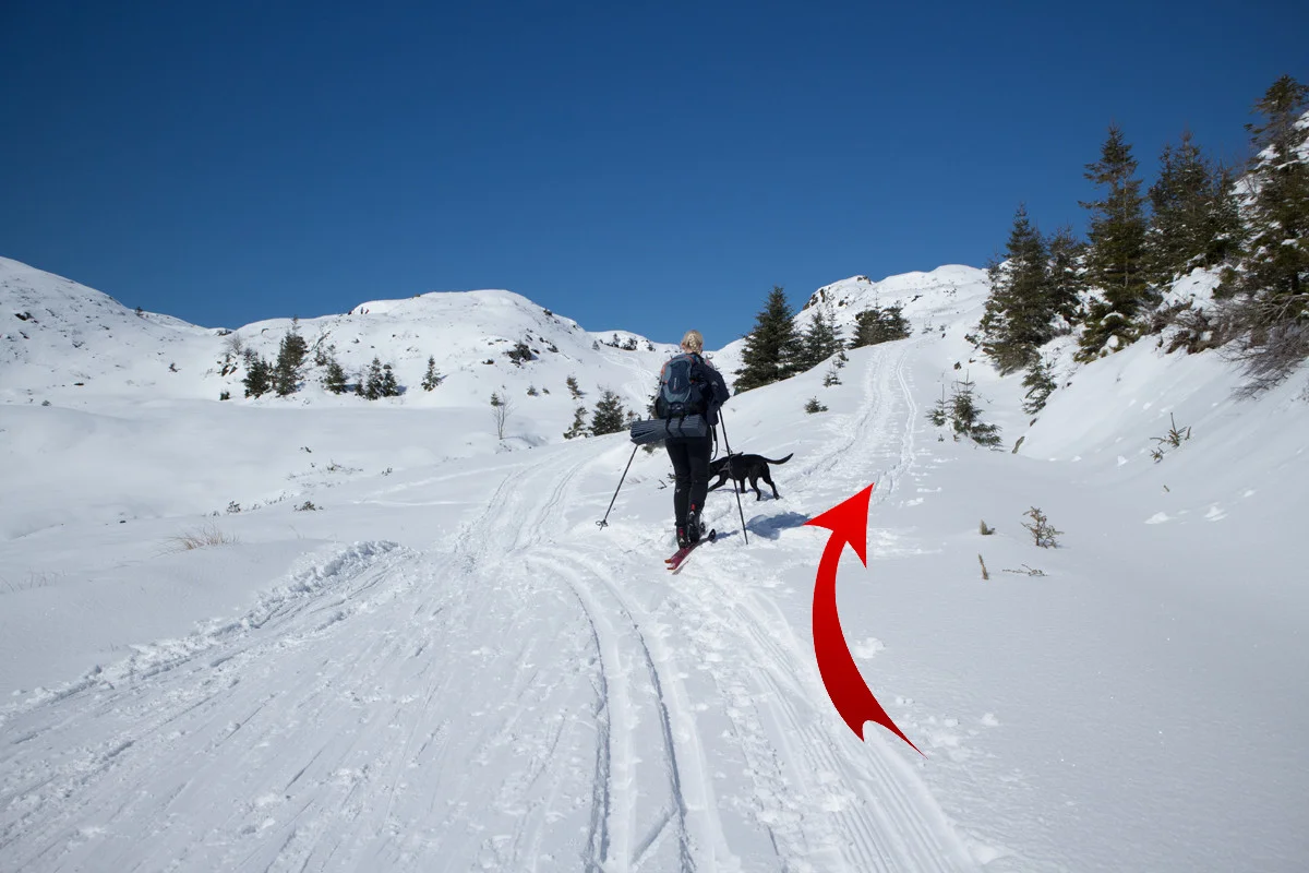
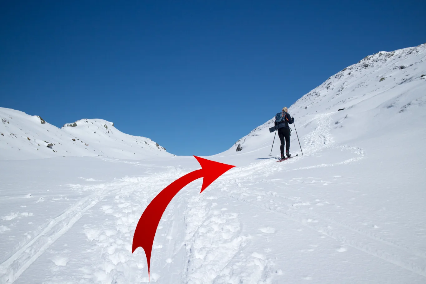
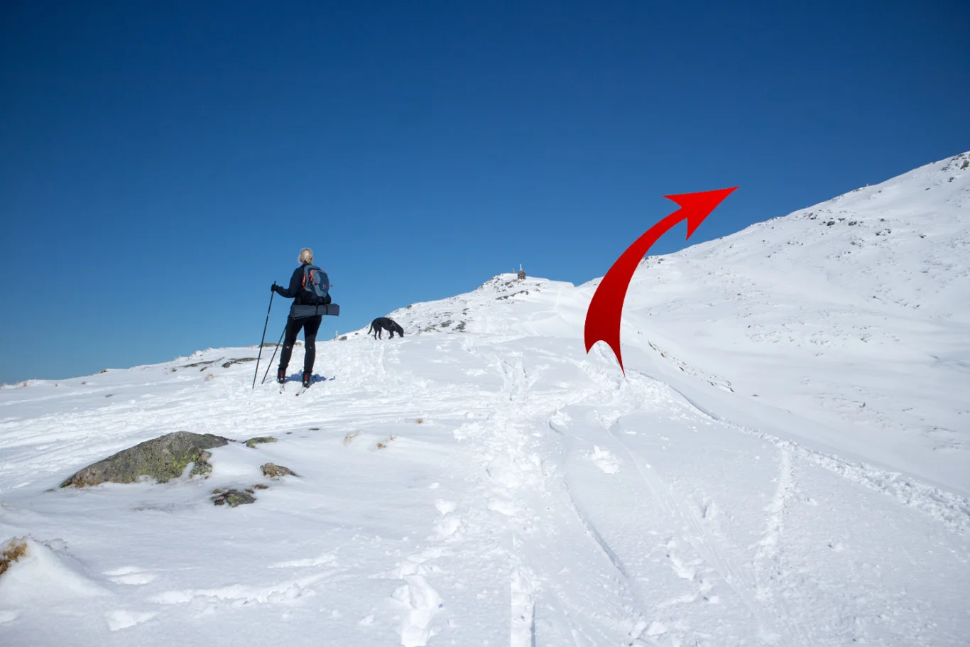
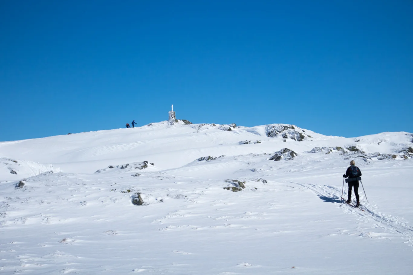
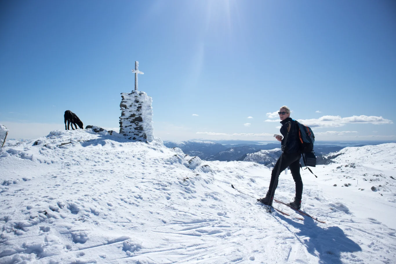
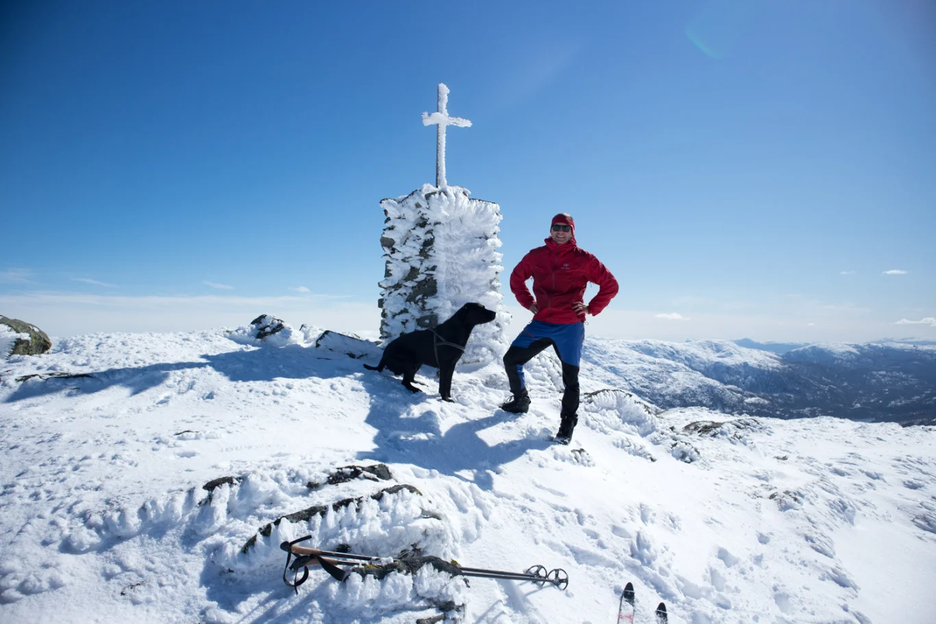
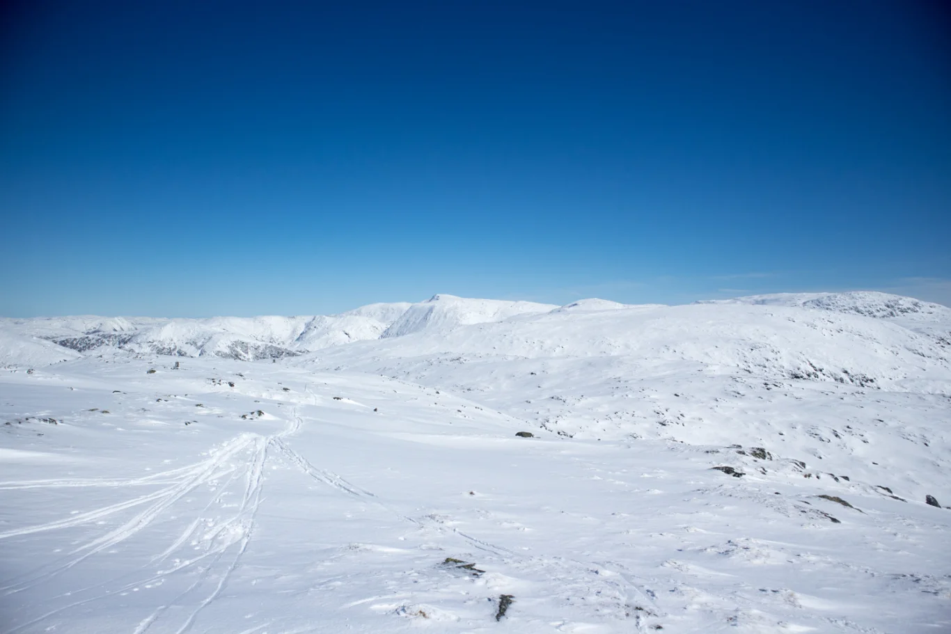
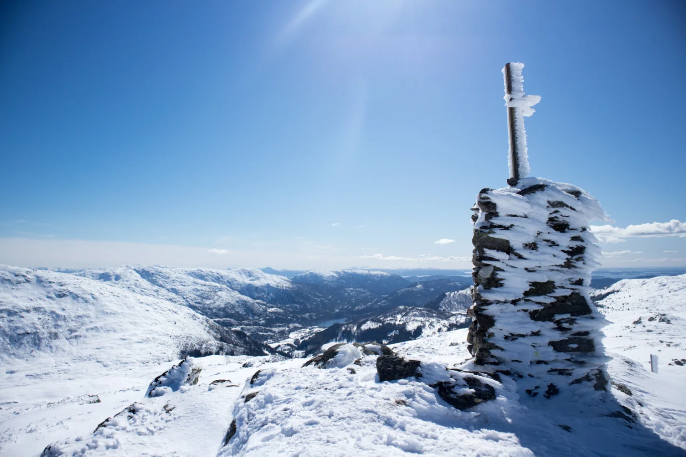
Ski trip Sletteggen (742 m) from Bontveit
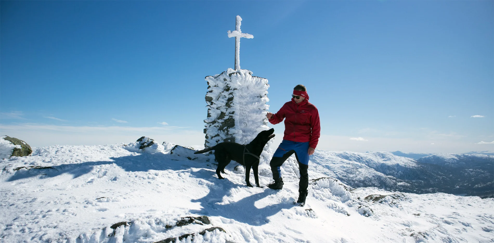
Photo: Admin

Processing elevation data.. .
You use GPX files that you download from our server 100% at your own risk.
Accommodation nearby


Hiking nearby


