Ski trip to Austefjellet (808 m) from Bontveit
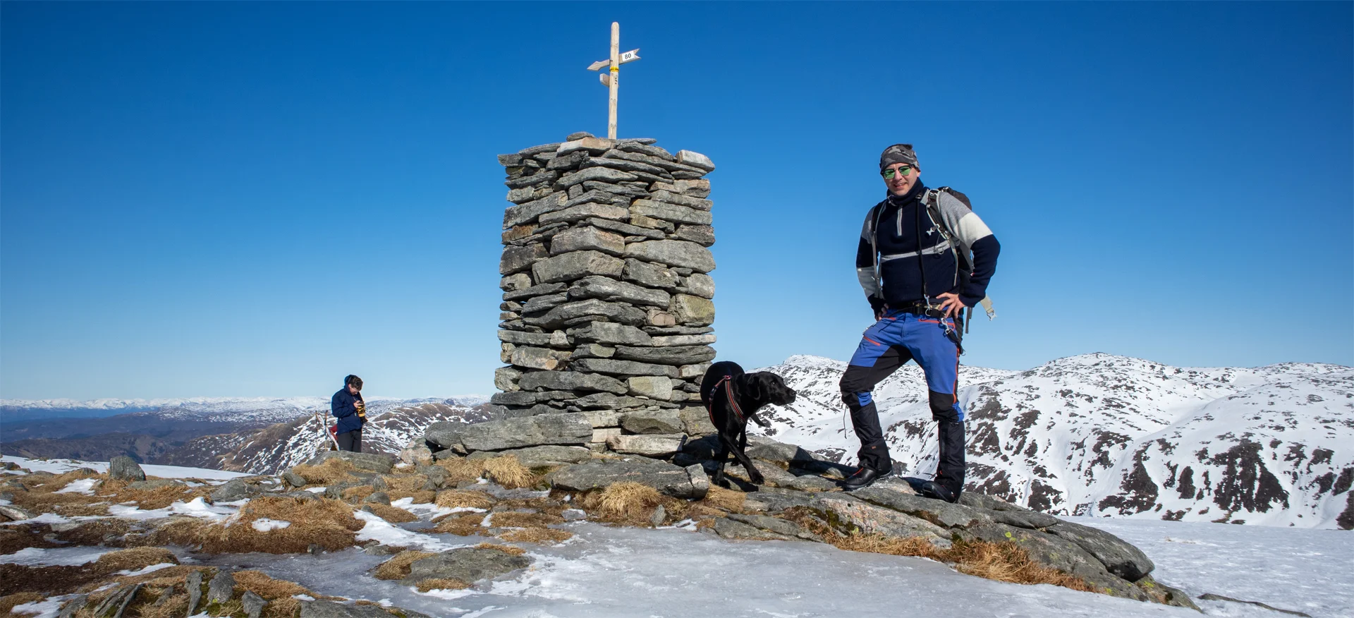
Fjellskitur til Austefjellet (808 moh) fra Bontveit
Photo: Admin

The GPX Track is for guidance only and may contain errors. Use at your own risk.
– always check maps, weather and conditions before your trip.

Access

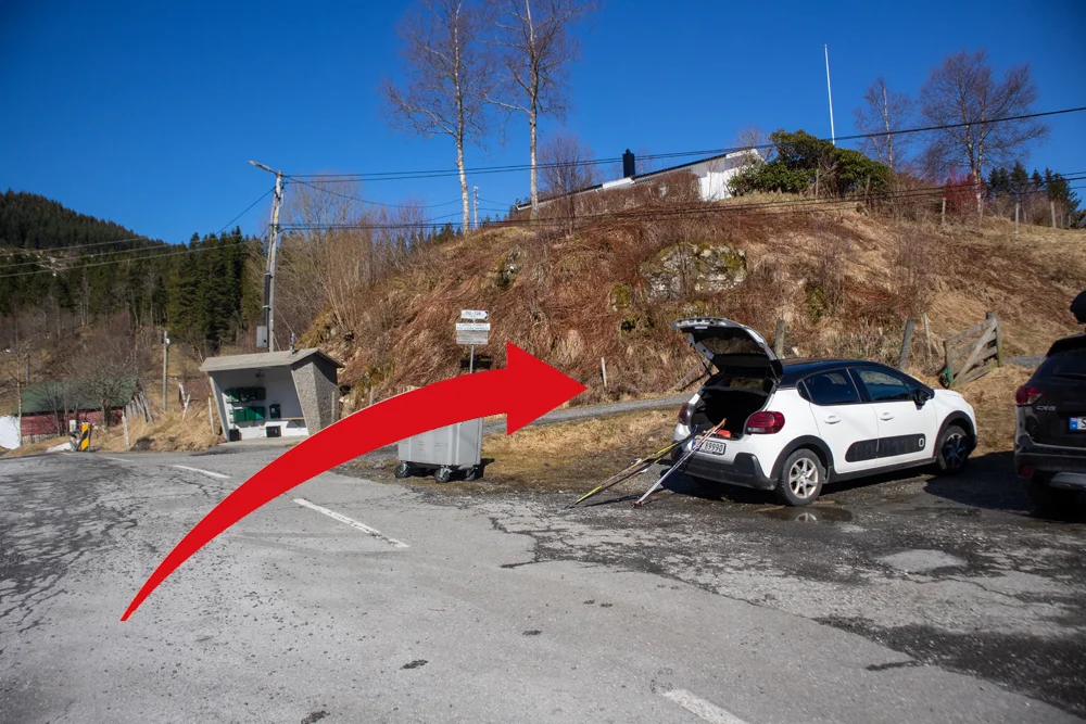
Drive into Bonveitdalen to the top of Bontveit (9 km from Osveien). There is good parking here and there are signs indicating where to go.

Parking

Free parking at Bontveit.

Description

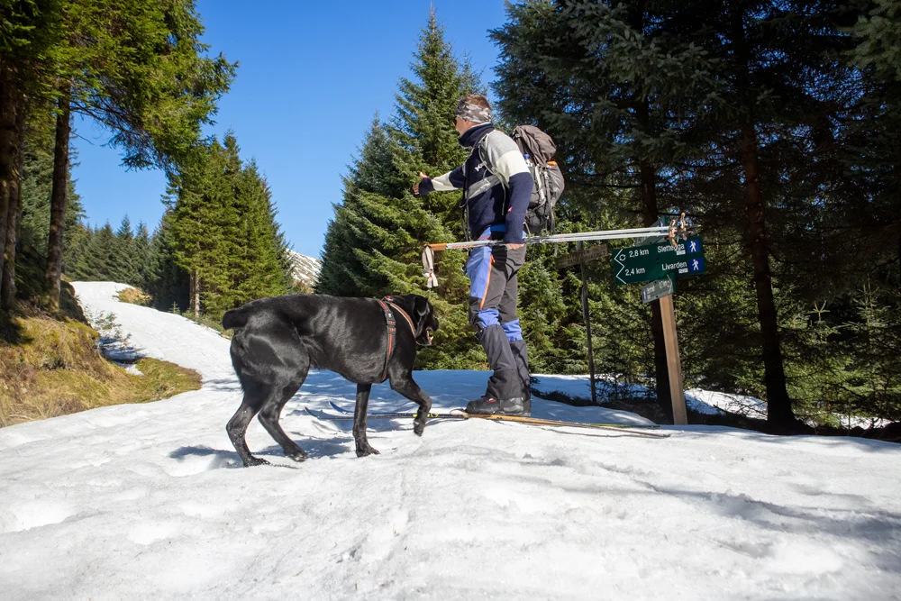
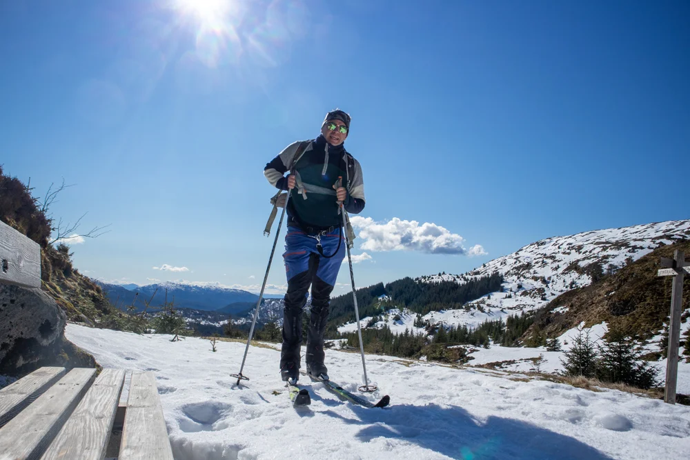
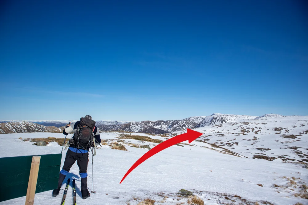
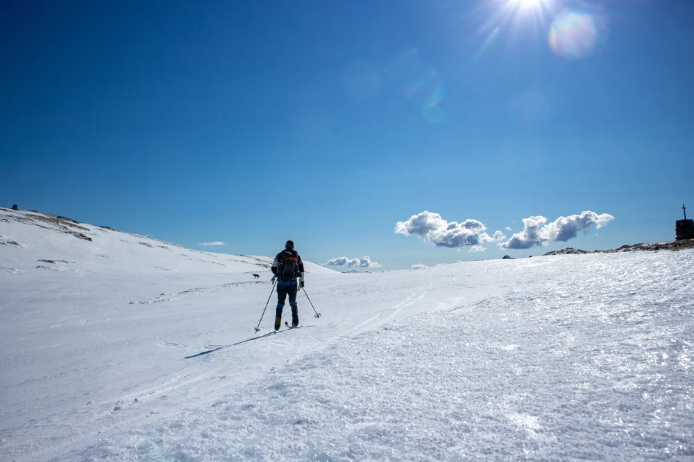
For this trip, you initially follow the same route as when going to Livarden from Bontveit. The trip begins on a gravel road past some private houses and then continues on a tractor road. Follow the road to the left up a steep hill (signposted Livarden) towards Rambjørgvatnet. Walk until the road ends and you will see a bench on the right. Here there is a sign to the left (to the west) towards Livarden and to the right (north east) towards Tverrmeisa. Follow the path straight ahead towards Tverrmeisa.

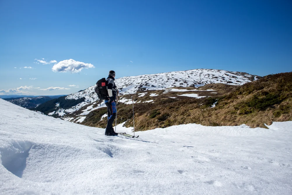
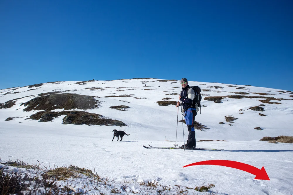
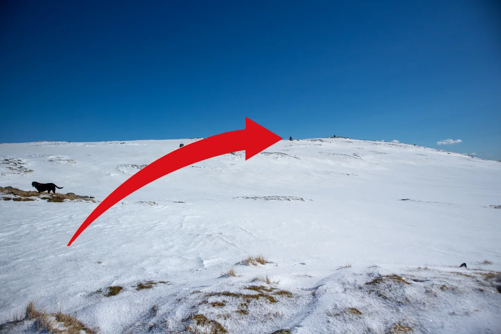
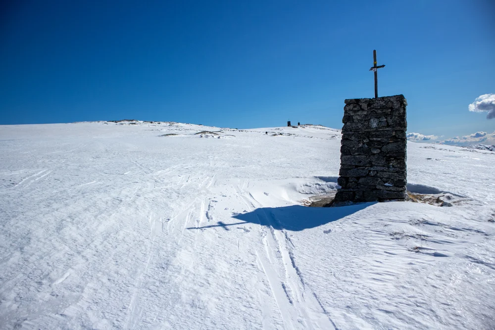
Walk into the valley until it starts to flatten out. Here you should continue straight ahead (keep left) between Vierrinden and Tverrmeisa. You will see cairns on both sides further into the valley. When you get there, go right up Vierrinden. Here the climb is steady and you follow the cairn line all the way to the top. The top cairn on Sletteggen (742 m. above sea level) is located a short Distance into the mountain plateau.

From the top, you just follow the cairn line further inland towards Austefjellet.

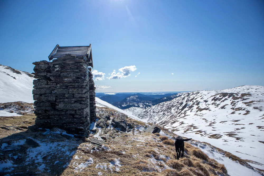
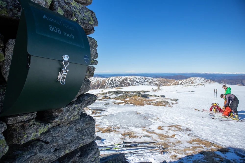
At the top of Austefjellet there is a great view of nearby mountains; Søre Gullfjellstoppen, Hausdalshorga, Nobbane, Sletteggen and Livarden. For a longer hike you can go down to Redningshytten or take a round trip via Hausdalshorga.

Return the same way!

Have a good trip!

Information

Austefjellet (808 m.)
Length round trip: Approximately 14 km.
Time: approximately 4-5 hours.  
Season: December-April if there is snow.
Suitable for mountain skis with steel edges.
The best way to hike to Austefjellet is from Osevatn.
Grading: Demanding

Processing elevation data.. .

You use GPX files that you download from our server 100% at your own risk.

Accommodation nearby

Hiking nearby