
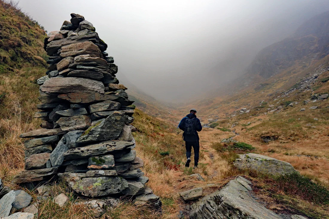
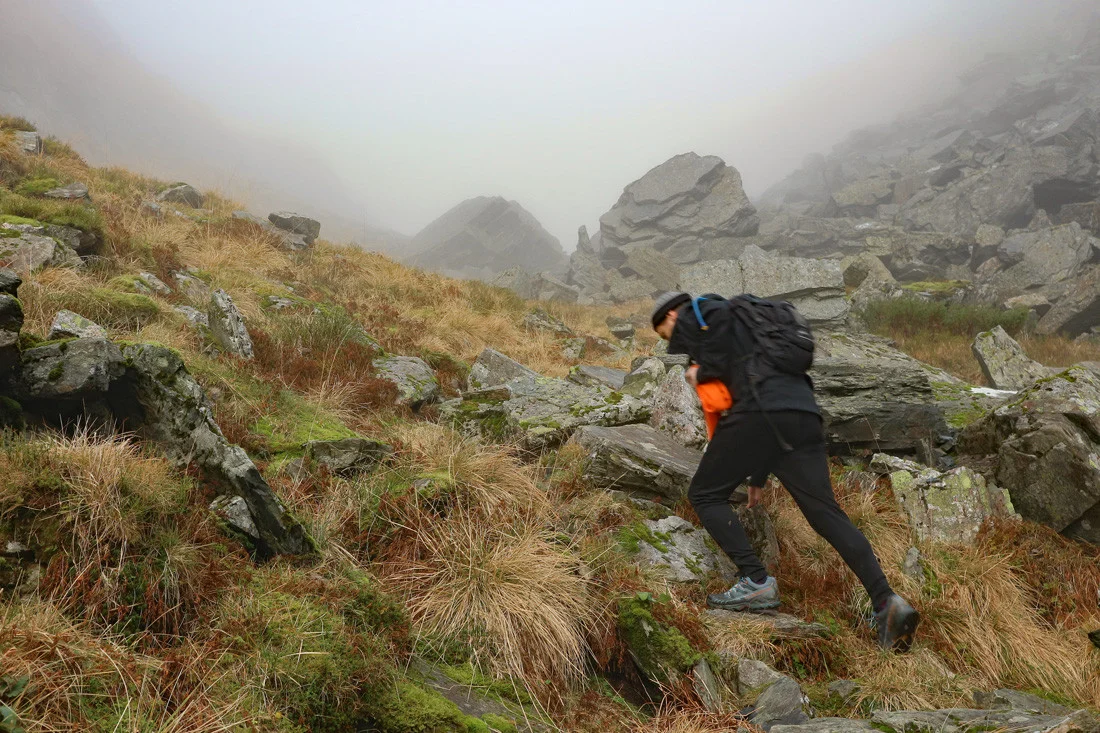
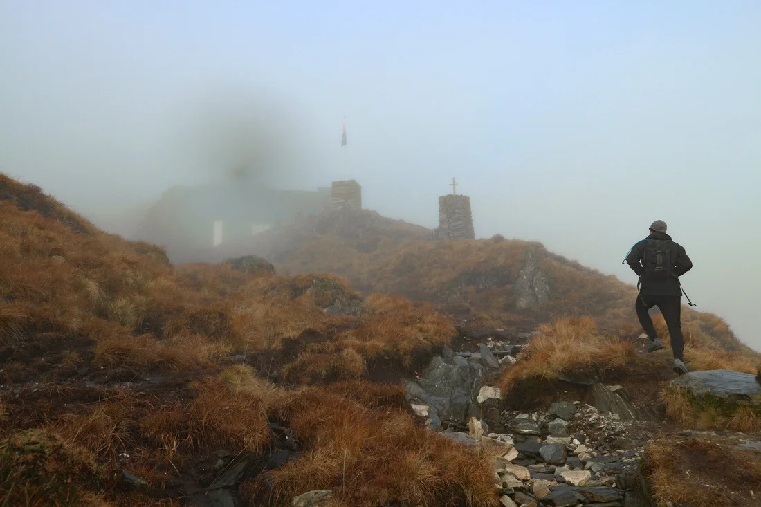
The rescue hut (610 m above sea level) from Hausdalen
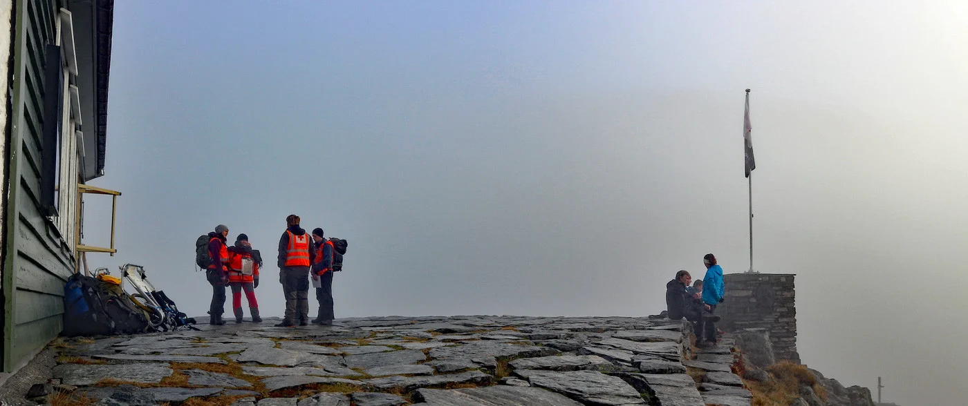
Redningshytten (610 moh) fra Hausdalen
Photo: Admin

The GPX Track is for guidance only and may contain errors. Use at your own risk.
– always check maps, weather and conditions before your trip.

Access

Approximately 40 min (29.0 km) drive from Bergen.

Parking

Free parking in the heart of Hausdal

Description

It was Anton Berge, also known as 'The King of Gullfjellet', who took the initiative to build the Rescue Hut.

So in 1929 the first rescue hut was built. A few years later in 1936 a new and larger hut was built. This one over two floors as we know it today. The hut is now run by a voluntary foundation, and every Sunday the hut is open for sale of hot drinks and waffles.

The hike from Hausdalen starts at the parking lot. Follow the path to the left. You should NOT cross the bridge. The hike first goes on a tractor road through the forest and in some places you cross the river over a bridge. When you get further up the valley it turns into a trail. There is a steady climb all the way with some steep sections. The entire hike goes through a valley and the last hill up before it flattens out and you can see the rescue hut is really steep. Here it is advisable to tread a little carefully because of some loose stones.

Det er fint å sitte utenfor Redningshytten. Er det dårlig vær kan du spise maten inne. Ønsker du å gå lengre tur anbefales å følge varderekken videre til Gullfjelstoppen (Nordpolen).

Information

The rescue hut 610 m.
Length: 9.2 km round trip
Ascent: approx. 550m
Time: 3-4 hours round trip
Grading: Medium. Some demanding sections.
Season: All year round. Some steep sections.
Type: Suitable for active families. Not suitable for strollers and not suitable for skiing.
It's a great trail all the way.
Grading: Medium

Processing elevation data.. .

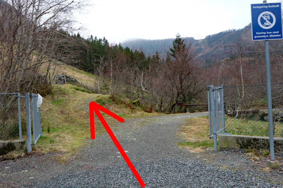
You use GPX files that you download from our server 100% at your own risk.

Accommodation nearby

Hiking nearby