The GPX Track is for guidance only and may contain errors. Use at your own risk.
– always check maps, weather and conditions before your trip.
From Nesttun, drive the Hardangerveien towards Arna past Grimesvingene, and turn right onto Unnelandsvegen. Continue to the intersection and turn right onto Gullfjellsvegen. Follow the road all the way to Osavatn where there is a tourist parking lot. There is a fee for parking on Saturday/Sunday.
Om du kommer fra Bergen sentrum kjører du til Åsane og videre mot Arna via Gaupås. Kjør forbi Arna mot Espeland og kjør inn til venstre på Unnelandsvegen hvor det er skiltet 'Espeland Fangeleir'. Følg Unnelandsvegen rett frem videre innpå Gullfjellsvegen. (NB: Ikke opp til venstre mot fangeleiren)
This is a demanding ski trip. The easiest route on skis to Gullfjellstoppen is via Redningshytten and up the corkscrew.
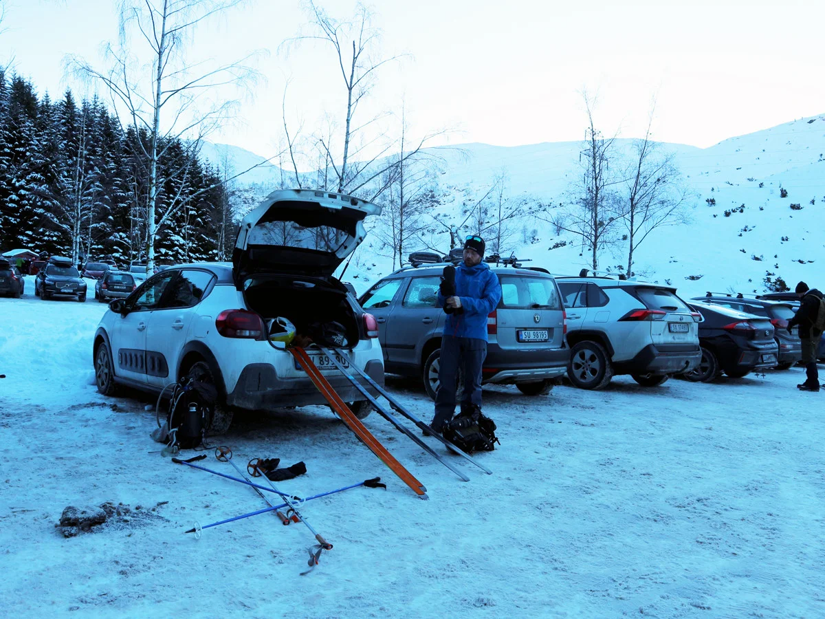
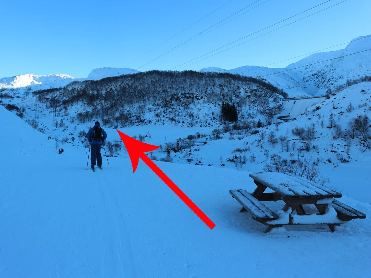
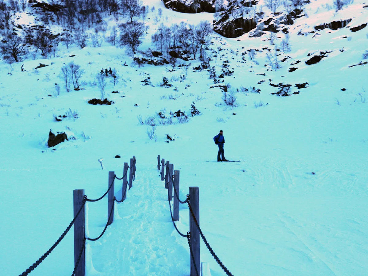
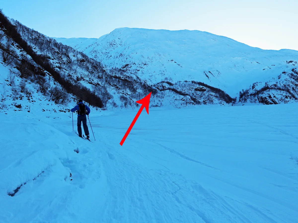
The ski tour starts at the parking lot. Follow the road inland until you see the dam at Svartevatnet. Here you go left around Svartavannrinden. There is a road here, but in winter there will be ski tracks. Go north around the mound down to the bridge. Follow the path along Svartavatnet. This is a bad path and in winter there is ice, so be careful where you walk with your skis. Follow the path up the steep Svartavasslia and then keep left on the slope at Tjørnadalen. Do not go down into Tjørnadalen as there may be a risk of avalanches here.
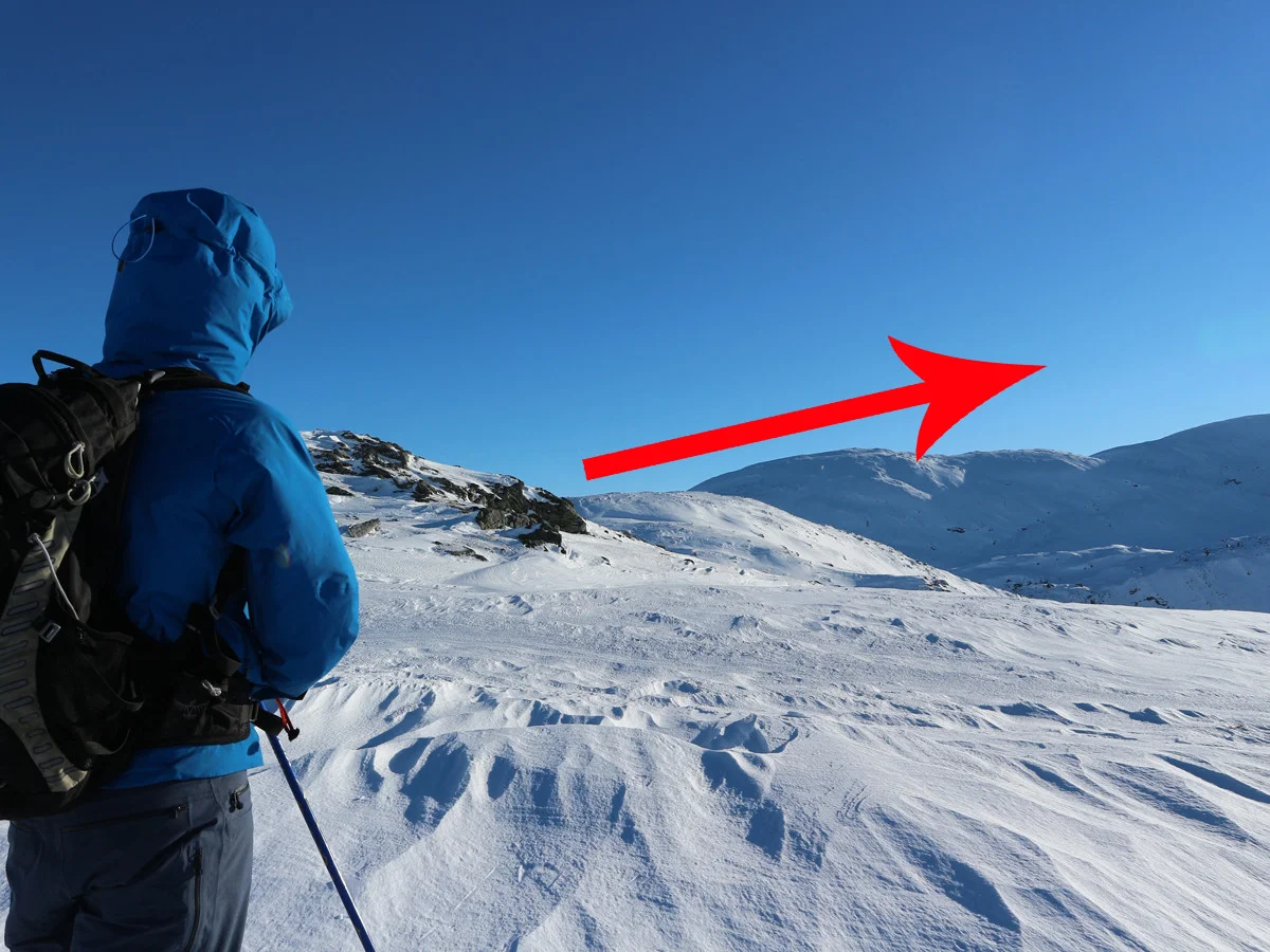
Walk up the valley (northwards) towards Vossavardene. It is recommended to walk on the left side here. At the top of the depression, walk to the right (north-east). Walk up the back of Vossavardene. Then follow the ridge eastwards before it curves southwards towards Gullfjellstoppen.
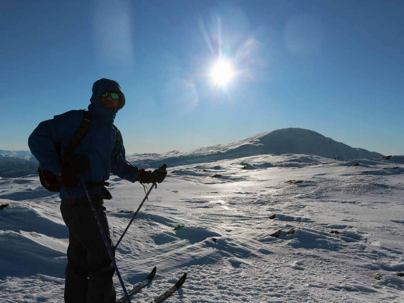
The section up towards Gullfjellshalsen is steep and there may be a risk of avalanches. Here you must use common sense to make the right choice. Alternatively, you can continue east until you enter the route from Gullbotn.
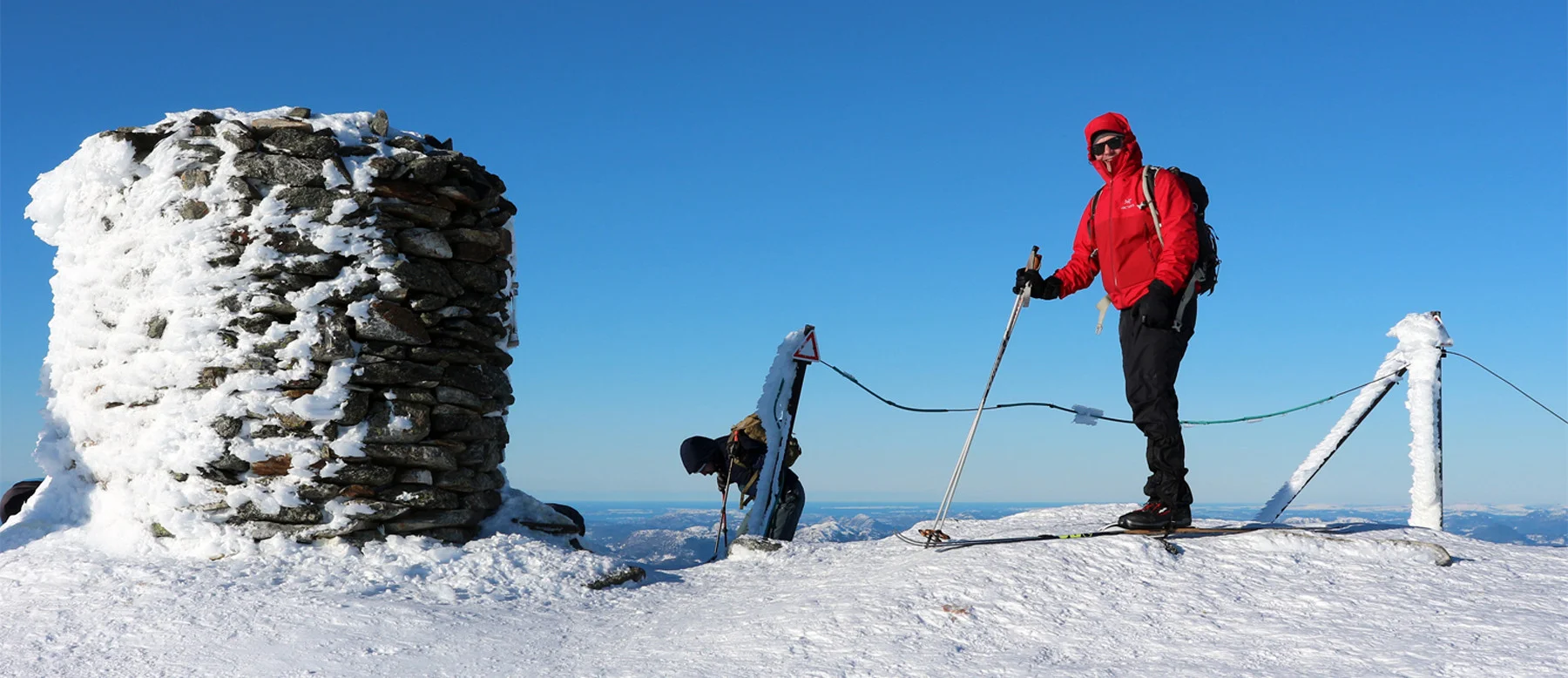
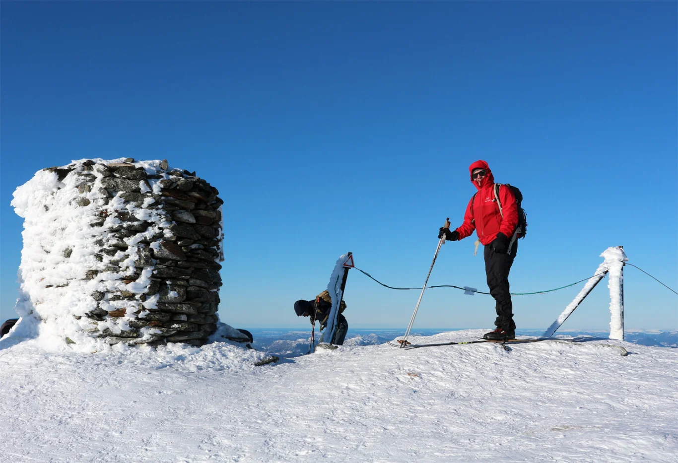
Once up on Gullfjellshalsen, you continue onto the cairn range and it is a short walk to the top!
Gullfjellet really gives you the feeling of being on the high mountains. Write your name in the book and enjoy the view!
When going down, the recommended route is via the corkscrew to the Redningshytten hut.
Have a good trip!