The GPX Track is for guidance only and may contain errors. Use at your own risk.
– always check maps, weather and conditions before your trip.
From Nesttun, drive the Hardangerveien towards Arna past Grimesvingene, and turn right onto Unnelandsvegen. Continue to the intersection and turn right onto Gullfjellsvegen. Follow the road all the way to Osavatn where there is a tourist parking lot. There is a fee for parking on Saturday/Sunday.
Om du kommer fra Bergen sentrum kjører du til Åsane og videre mot Arna via Gaupås. Kjør forbi Arna mot Espeland og kjør inn til venstre på Unnelandsvegen hvor det er skiltet 'Espeland Fangeleir'. Følg Unnelandsvegen rett frem videre innpå Gullfjellsvegen. (NB: Ikke opp til venstre mot fangeleiren)
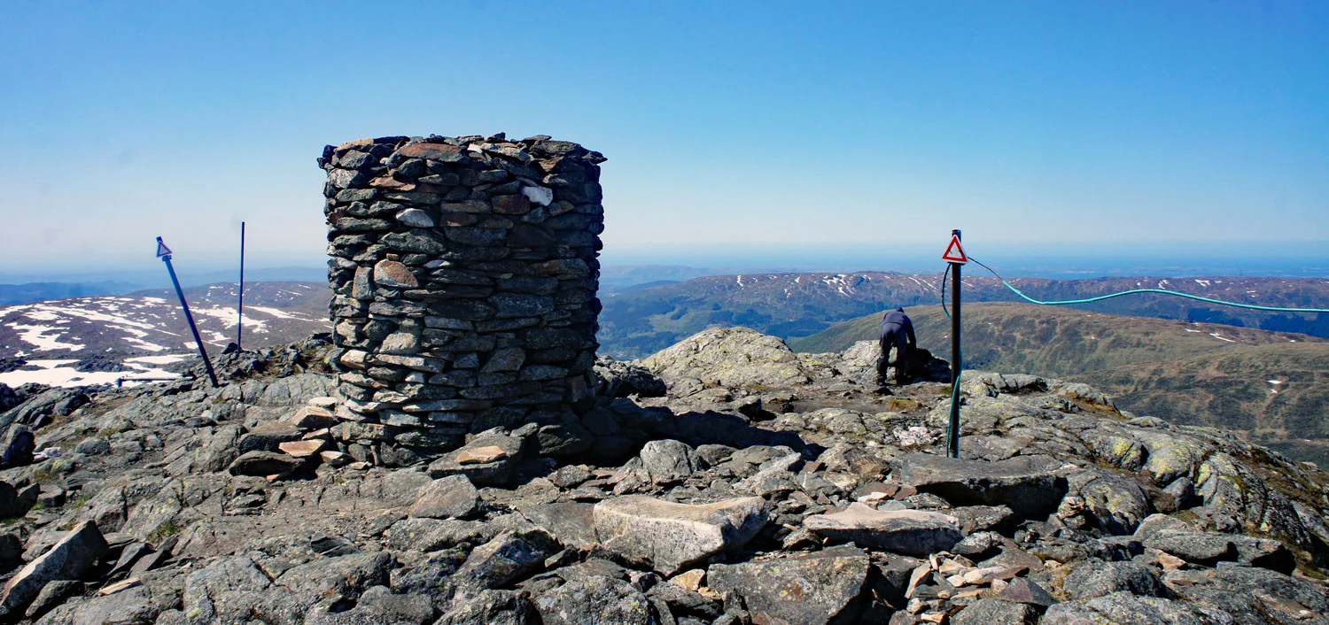
The highest point in Bergen municipality is Gullfjellstoppen at 987 m.
There are several routes to the top. The most popular ones go from Gullbotn and Osavatn.
The first part of the hike is on a gravel road along the dam at Svartavatnet. Then it turns onto a great trail that takes you to the rescue hut. From here you go down into the valley and follow the cairn range up to a small lake. Follow the trail on the left side of the lake to go up the steep 'Korketrekkeren'. From here you just follow the cairn range down Middagsdalen and up the last climb to Gullfjellstoppen.
Gullfjellet really gives you the feeling of being on the high mountains. Write your name in the book and enjoy the view over Hordaland.