Mountain hike to Skylefonnstølen (641 m) from Romslo
Fjelltur til Skylefonnstølen (641 moh) fra Romslo
Photo: Admin

The GPX Track is for guidance only and may contain errors. Use at your own risk.
– always check maps, weather and conditions before your trip.

Access

Approximately 31 min (30.8 km) drive from Bergen city center.

Parking

Free Parking in the Parking lot along the old road.

Description

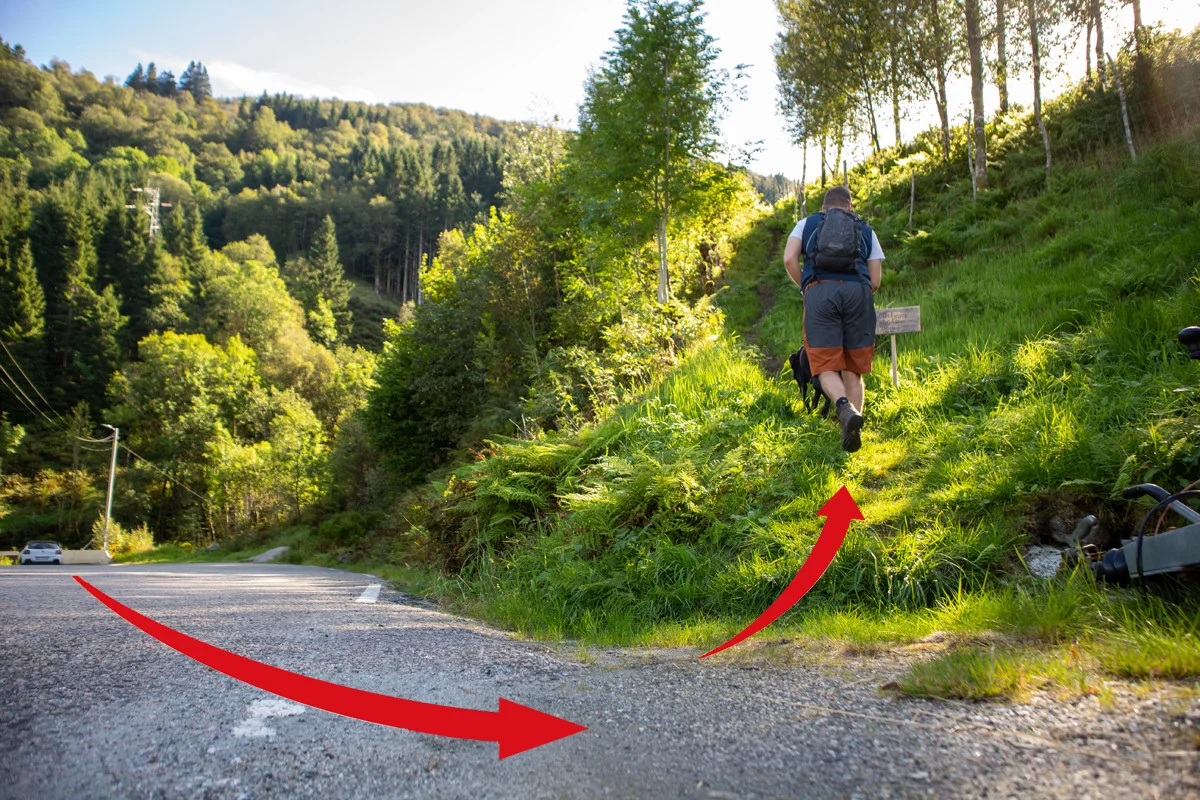
The walk starts along the old Romslovegen. Walk 50 meters along the road towards the bend. Cross the road and go up the steep path that runs along the fence. You will now come up into an inland field. Follow the path straight ahead through the gate. Now the path turns steeply up the mountainside parallel to the river gorge that runs on the left side. The path is good and you quickly gain altitude.

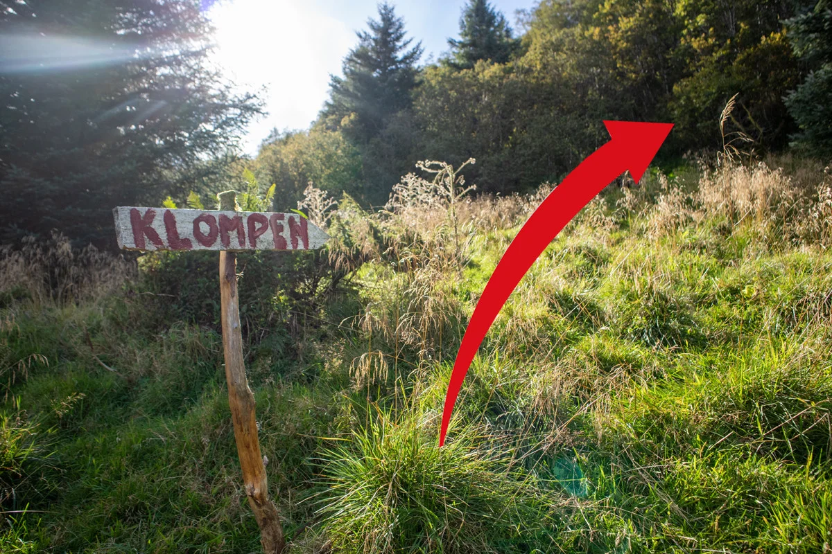
At approx. 300 m. above sea level you will come to a sign marked 'Klompen'. Here you should follow the sign to go right. Now comes a fun path that goes in hairpin bends up the mountainside.

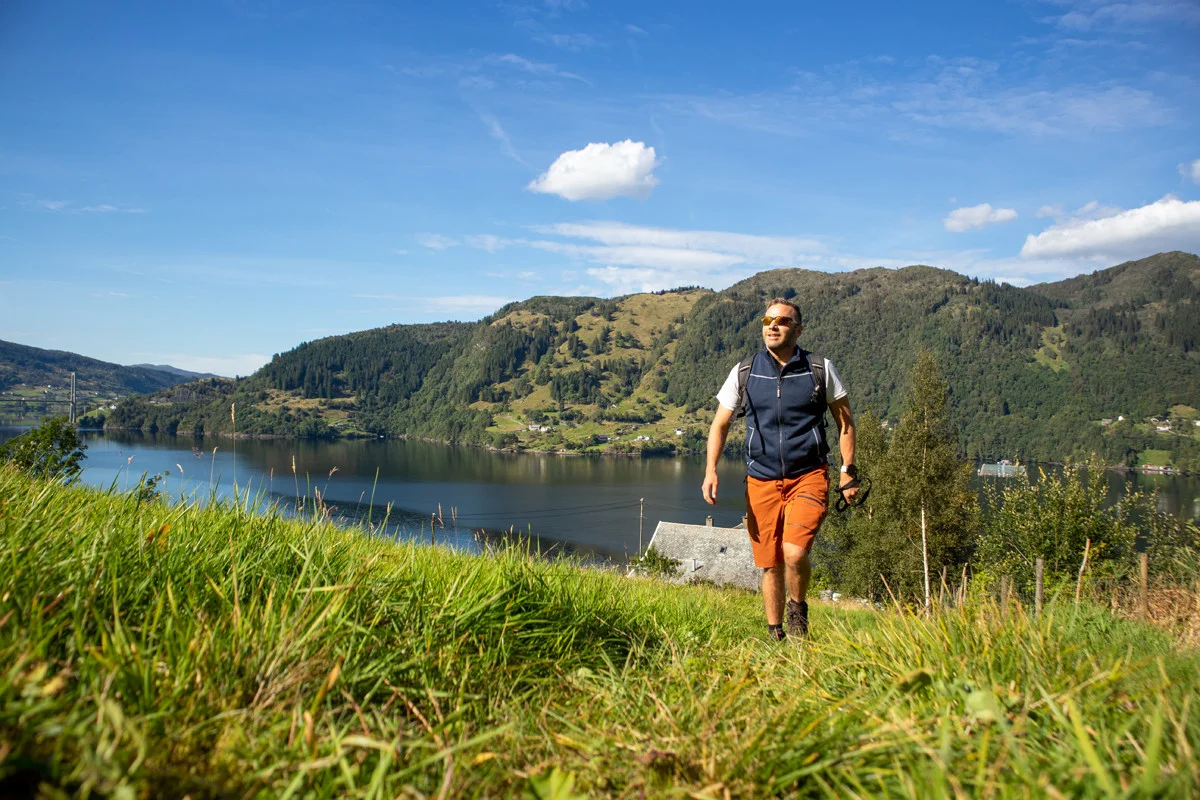
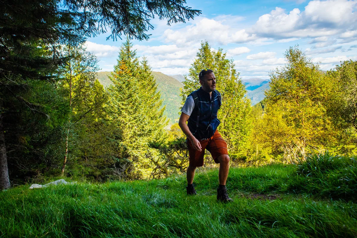
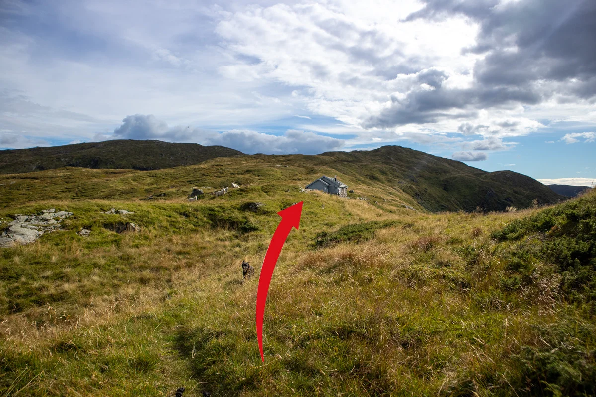
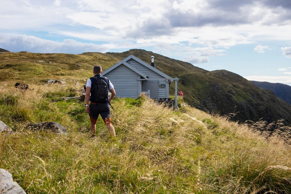
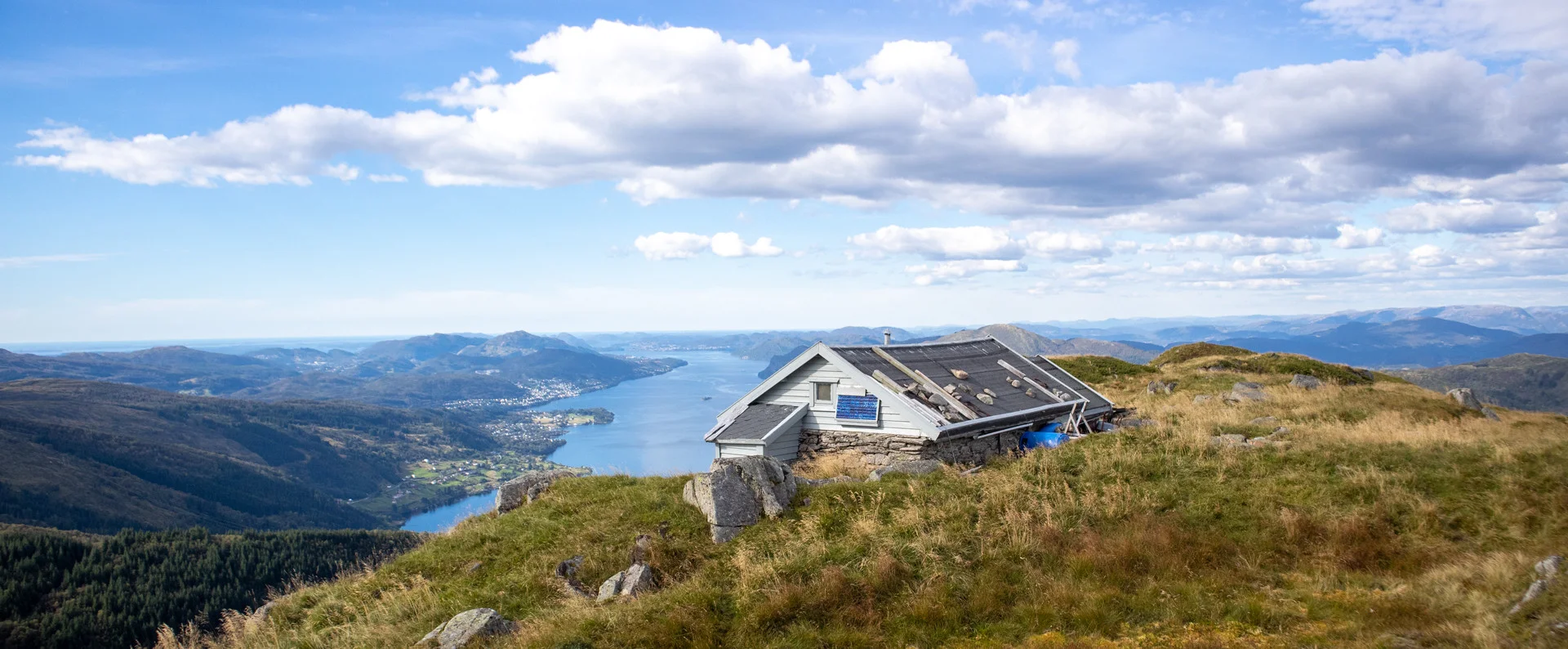
At approx. 500 m. above sea level you are above the tree line, and this is when the view becomes impressive. Follow the path south towards Skylefonnstølen. There is a steady climb all the way. The path is good and the terrain is easy to walk. In front of the cabin there is an old dilapidated stone bench. Here you can enjoy the view of the south fjord, Osterøybroen, Osterøy and Hananipa.

For a longer trip, you can continue to Vossavardene.  

Return the same way. Look forward to the return because then you will go straight towards the view.

Have a good trip!


Information

Length: Approximately 6 km round trip.
Time: Approximately 3 hours.
Elevation gain: Approximately 600 meters.
Season: May - Nov.
Grade: Medium

Processing elevation data.. .

You use GPX files that you download from our server 100% at your own risk.

Accommodation nearby

Hiking nearby