
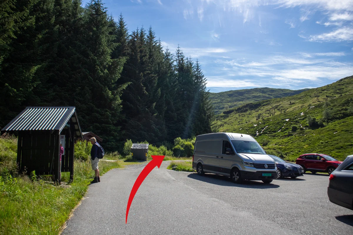
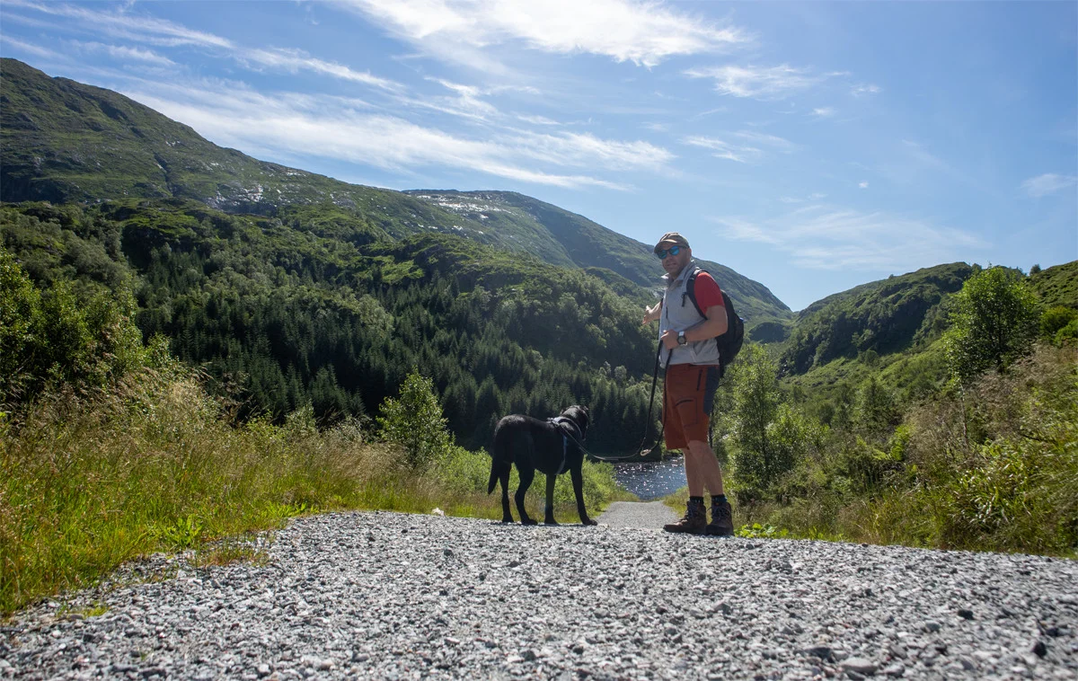
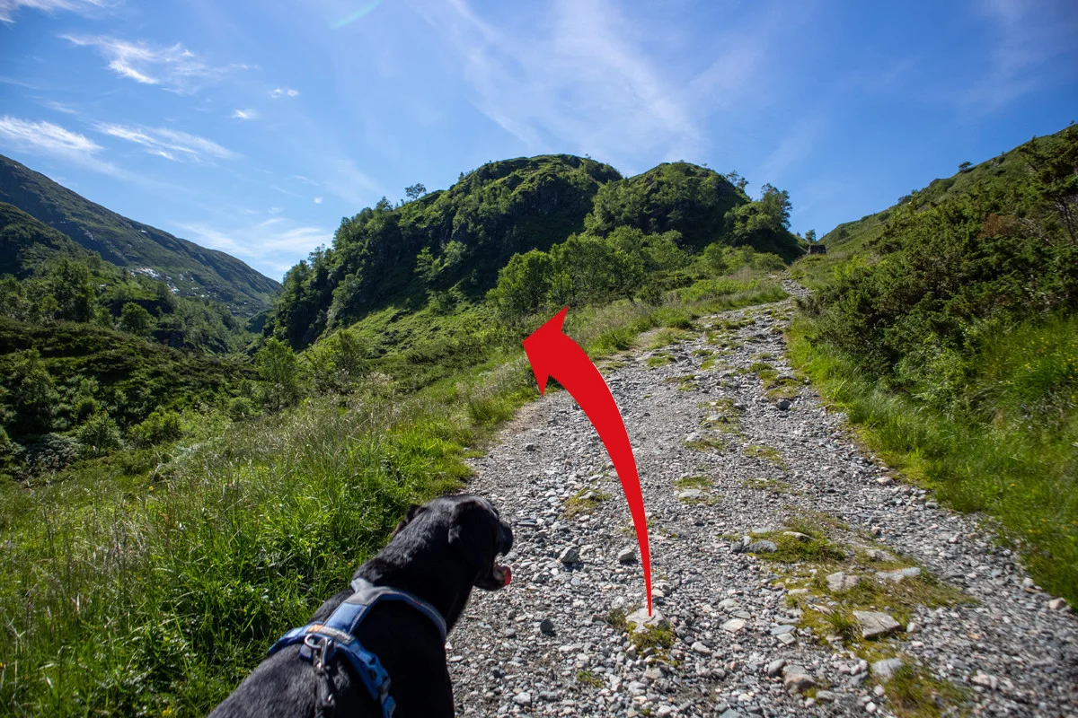
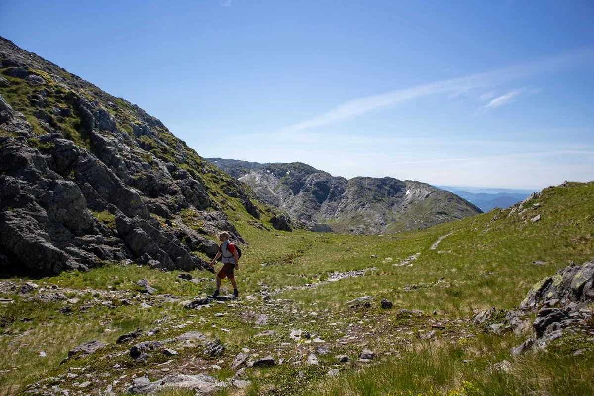
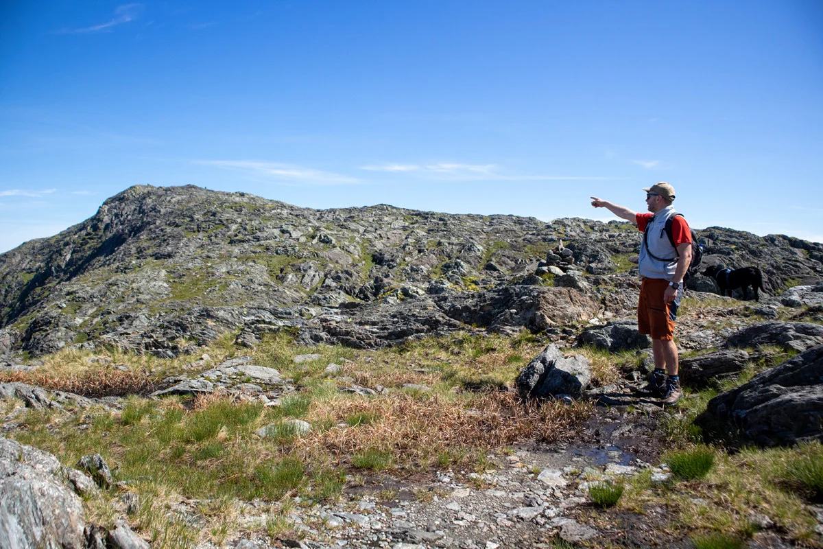
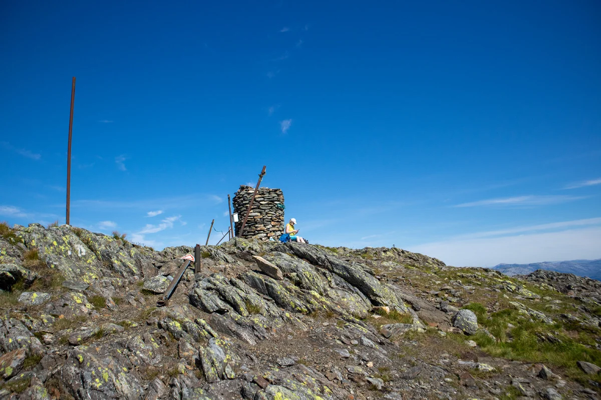
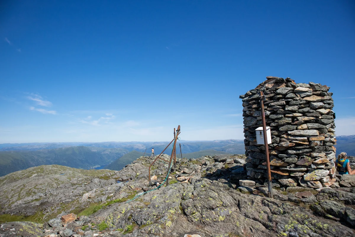
Gullfjelltoppen shortest way from Osavatnet
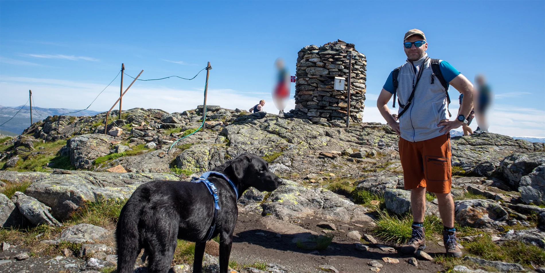
Gullfjelltoppen korteste vei fra Osavatnet
Photo: Admin

The GPX Track is for guidance only and may contain errors. Use at your own risk.
– always check maps, weather and conditions before your trip.

Access

Approximately 32 min (23.7 km) drive from Bergen city center.

Parking

There is a large parking lot at Osavatn. Parking fee weekdays and weekends. Payment with Vipps.

Description

This is the shortest route to Gullfjelltoppen from Osavatn. It is a summer trail that is only recommended for hiking during the period May-October.

From the parking lot, follow the gravel road inland and up the hill on the right side of the dam. Follow the gravel road to the south end of Svartavatnet. At the end, the gravel road turns into a forest road. After about 200 meters of walking on the forest road, a path goes out to the left. There is no sign, but the path is clear and easy to spot.  

Follow the path a short Distance along the river and then cross it. You will see a clear path on the other side of the river. Be extra careful if there is a lot of water in the river. Follow the path that leads up into the forest to the south-east. When you reach 550 meters above sea level, the forest ends. Walk along the long flat before the path climbs steeply up the left side of the river towards Markskilfossen waterfall. The path is clear, but there is a lot of loose rock on the steepest parts. When you have come a short Distance above the waterfall, the terrain flattens out before another steep climb towards the mountain Ronamanen. At the top of the mountain, the terrain flattens out again and you follow a clear path. The view towards Svartavatnet is great. At the end of Ronamanen, the path leads over to the north side of Midtrinden. Now the terrain becomes rocky and the path is unclear. There are small cairns that show the way to Gullfjelltoppen, which you can see further ahead.

If there is fog, you must be careful as it goes down steeply on the north side of Ronamanen and Midtrinden.  

Follow the path and small cairns to the top cairn.

Return the same way or via the cairn range that goes down via Korketrekkeren and Redningshytten.

Information

Length: Approximately 12 km round trip.
Time: Approximately 5 hours round trip.
Approximately 750 meters of elevation gain in total.
Season: This is a summer route. May-Oct.
Grading: Demanding

Processing elevation data.. .

You use GPX files that you download from our server 100% at your own risk.

Accommodation nearby

Hiking nearby