The GPX Track is for guidance only and may contain errors. Use at your own risk.
– always check maps, weather and conditions before your trip.
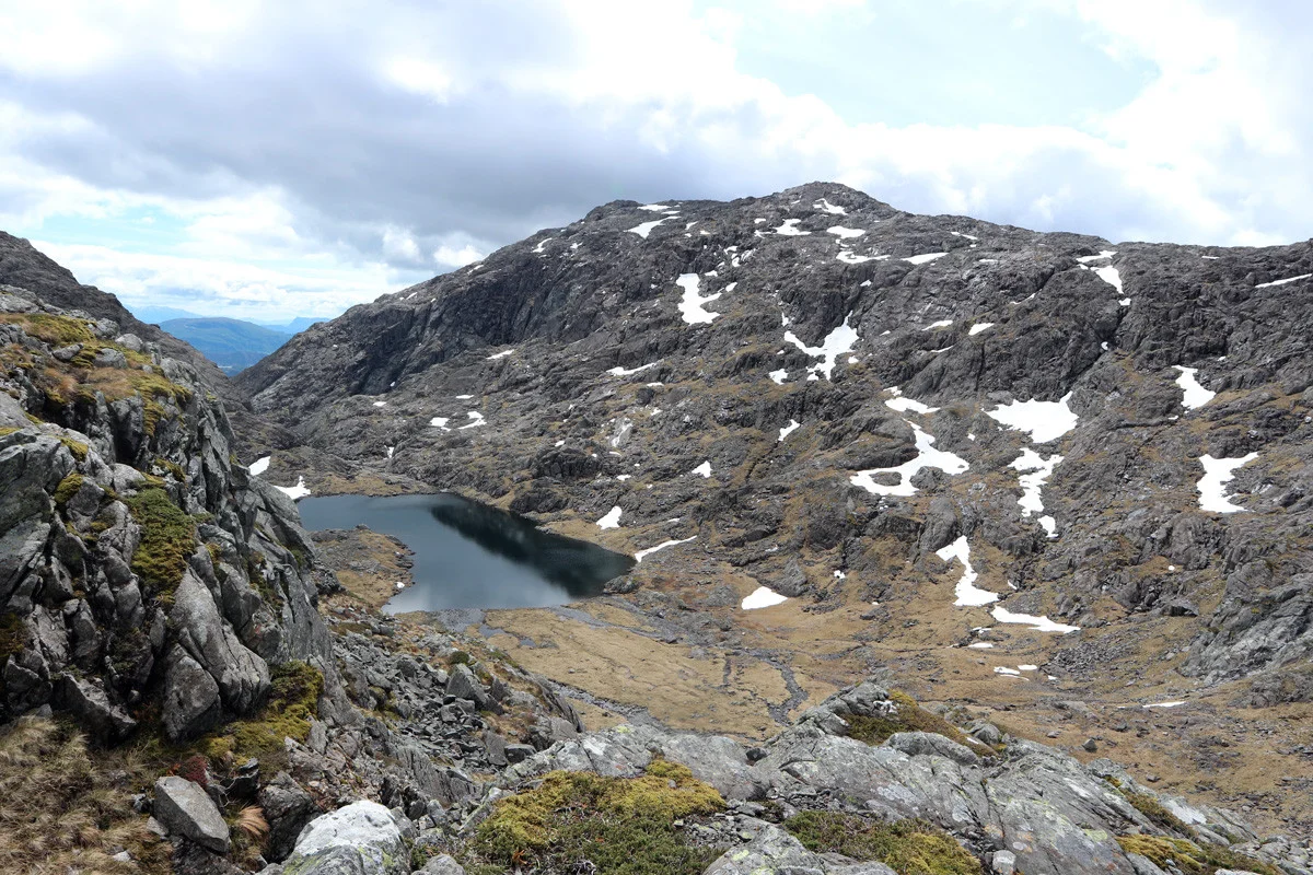
This one is for those who like a challenge, because there are easier roads to Gullfjellstoppen than the one through Purkedalsgjelet. That's probably why there is no path marked on the map. This route also starts in Hausdalen. From the parking lot, follow the road all the way into Brekkedalen. When you reach the crossroads, turn left past Brekkehytta and into Stora Brekkevatnet. Go to the end of the water, and on the left you can see Purkedalsgjelet. It is sandwiched between Kofta and Søre Gullfjelltoppen. It is a single long pile of rocks. The easiest way to get into the gully is to follow the river inland. Purkedalsgjelet ends in a narrow ravine 700 meters above sea level. Then it flattens out, and you enter a valley where there is a lake. Go past the water and up the valley on the left. Then you will enter the cairn range that leads you to Gullfjellstoppen.