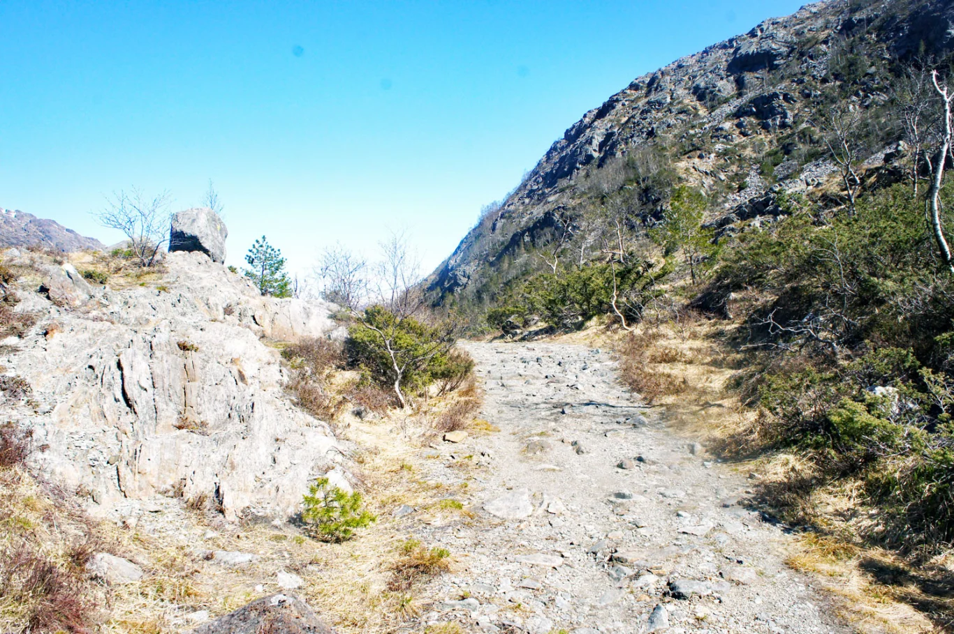
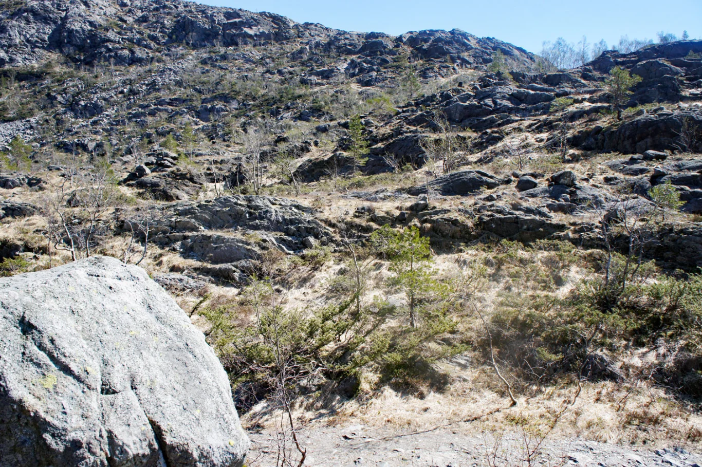
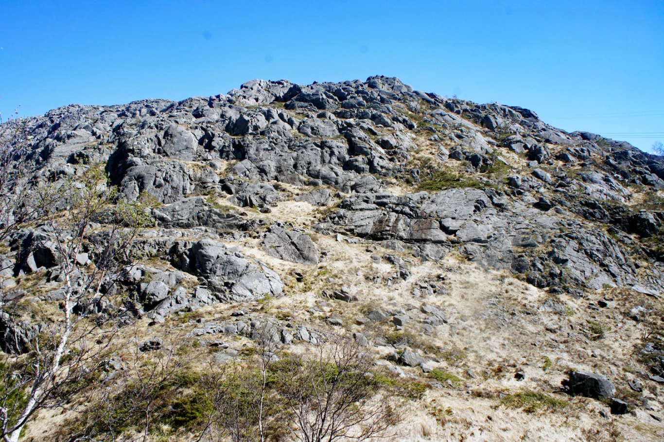
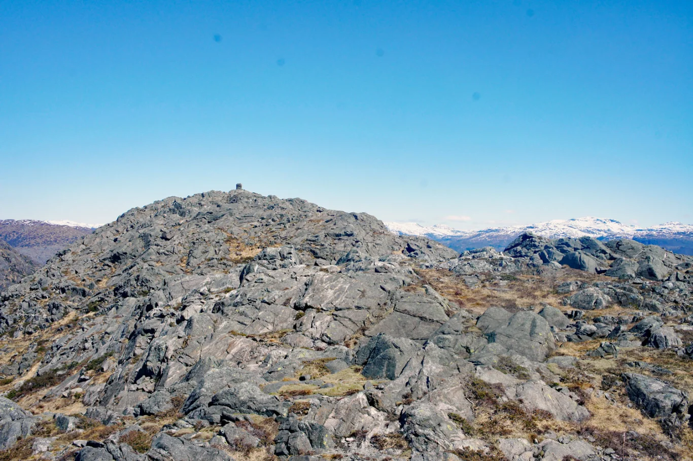
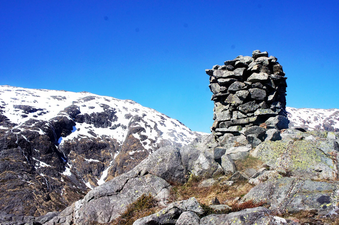
Sauafjellet (539 m) from Hausdalen
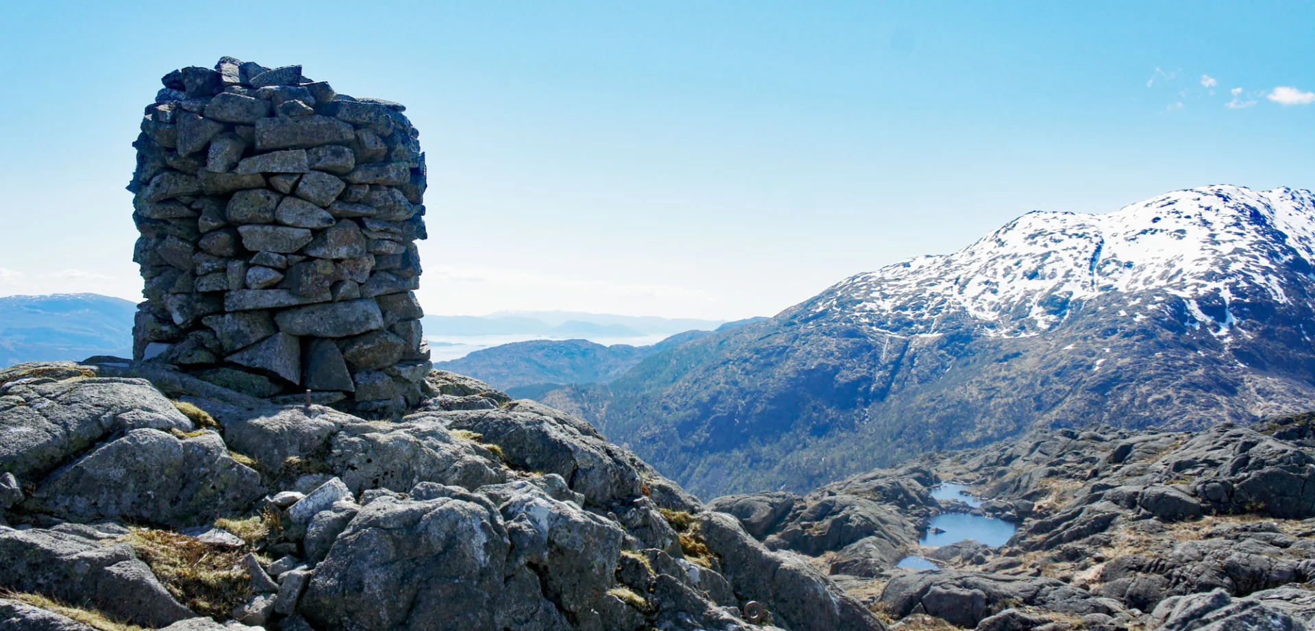
Photo: Admin

Processing elevation data.. .
You use GPX files that you download from our server 100% at your own risk.
Accommodation nearby


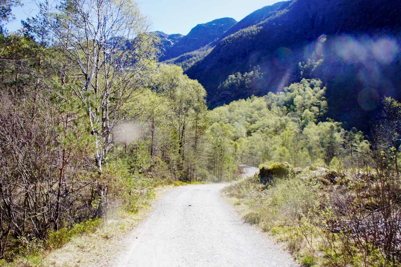
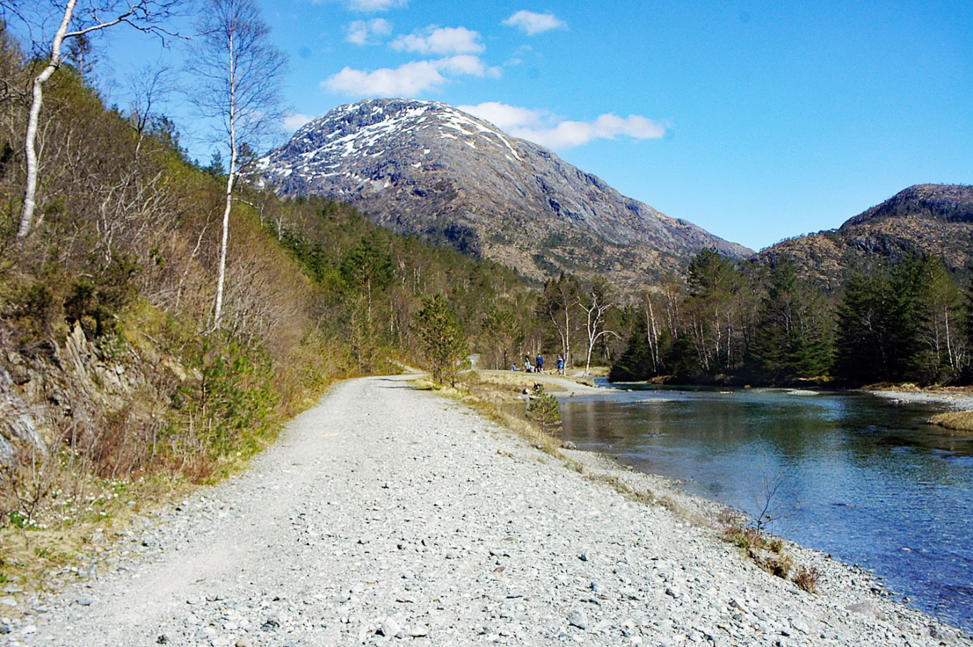
Hiking nearby

Distance
1.25 Km


Distance
1.76 Km


Distance
3.37 Km


