The GPX Track is for guidance only and may contain errors. Use at your own risk.
– always check maps, weather and conditions before your trip.
The mountain skiing tour starts at Osavatn and follows the gravel road inland to the dam at Svartavatnet.
From here you follow the road that winds up the right side of the dam and on to the southern end of the water. There the road rises steeply before leveling out at a small rest hut. From here you turn onto a path with a steady, gradual climb to the Redningshytten hut.
The road from Osavatn is not normally marked, but there is often a lot of traffic inland on both skis and on foot, so it is usually easy to get to the Redningshytten hut.
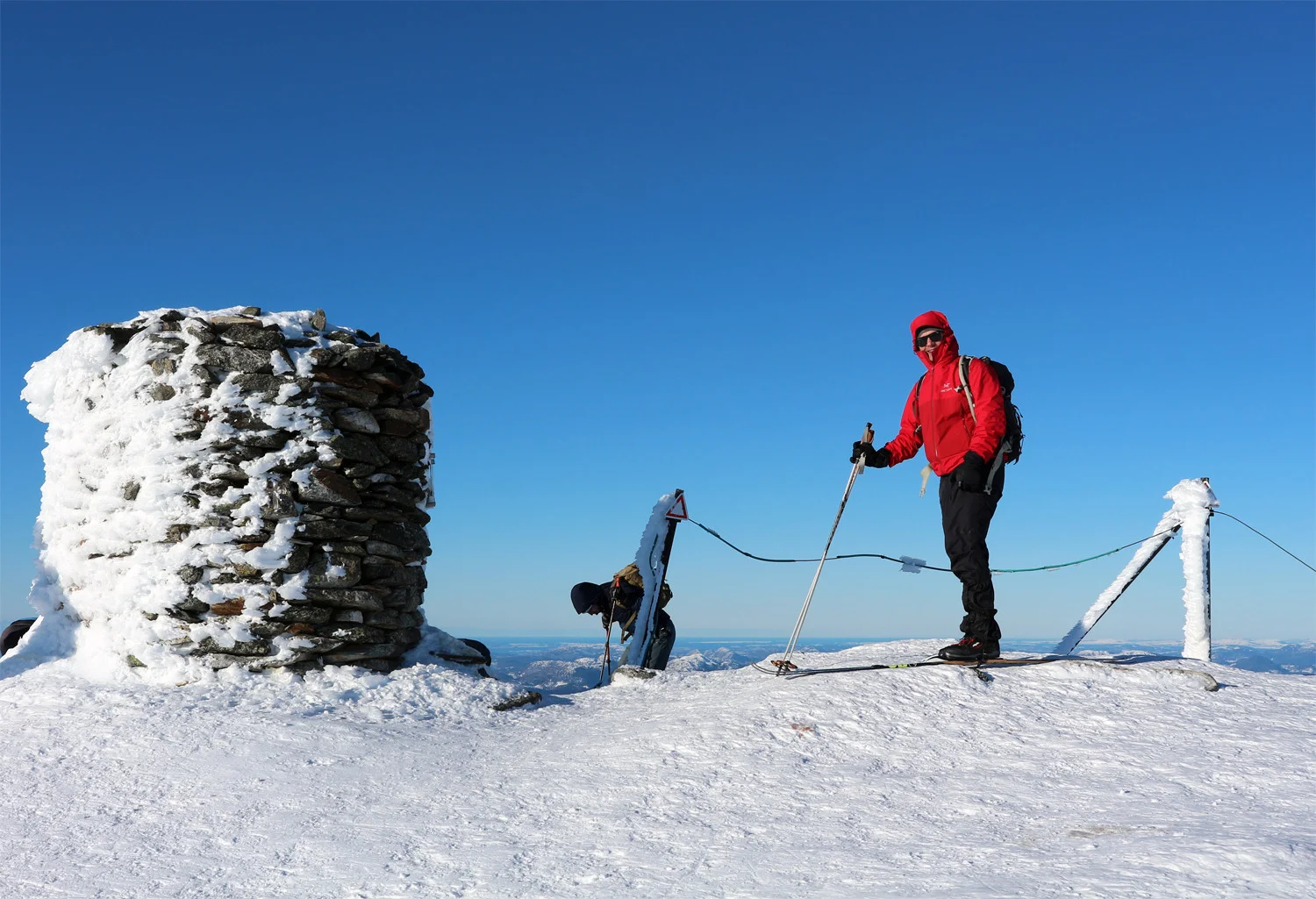
From Redningshytten you run down into the valley and follow the cairn range up to a small lake. In winter it is often frozen; otherwise keep to the left side of the lake. You then go up the steep "Korketrekkeren", the most striking part of the hike, which can be both windy and demanding. You then follow the cairns down Middagsdalen and up the final climb to Gullfjellstoppen. The last part is in open high mountain terrain, and on nice days you will usually have tracks to follow.
At the top stands a large cairn. Gullfjellet really gives the feeling of being on the high mountains, and on clear days you rarely get a better view of the Bergen Mountains and the coast than up here. The return journey follows the same route.