The GPX Track is for guidance only and may contain errors. Use at your own risk.
– always check maps, weather and conditions before your trip.
This tour starts from the parking lot at Osevatn. Follow the gravel road that goes up the right side of the dam to Svartavatnet.
Continue along the water, down a hill and then south up another steep hill. From here the road gradually turns into a stone-paved path. Follow the path into the valley until it flattens out and you come to a crossroads. Here you can either turn right and continue up towards Austefjellet, or follow the path straight ahead to the rescue hut. From there you can take the path and the cairn range up to Austefjellet.
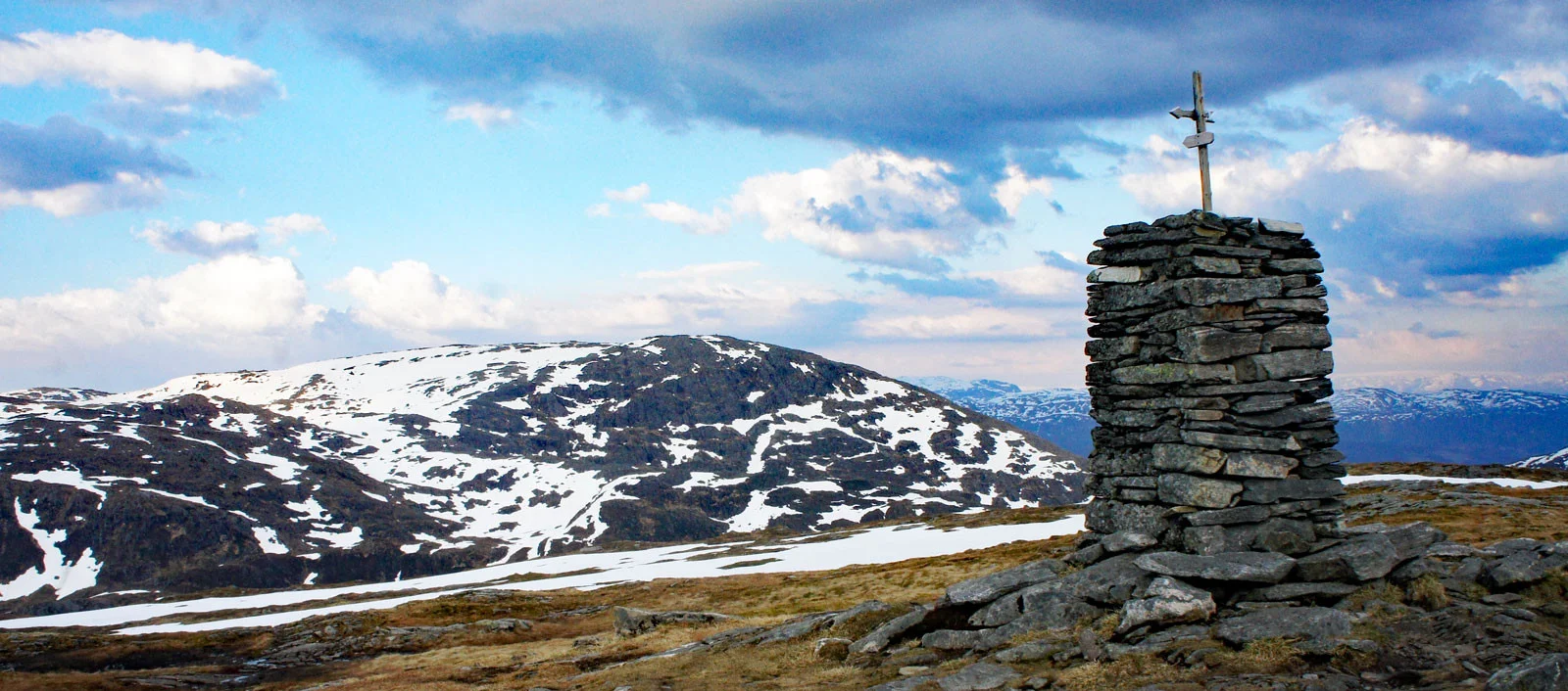
Follow the path and cairn line all the way to the top. The large cairn is visible from a long Distance . It can be wet in some places, and in early spring there can be deep snow pockets since this side of the mountain gets little sun.
At the cairn on Austefjellet you can either return the same way, or follow the cairn line northwest and further along the ridge northwards down towards the starting point. Cross the bridge over the river and go back to the parking lot.