The GPX Track is for guidance only and may contain errors. Use at your own risk.
– always check maps, weather and conditions before your trip.
For this trip you start by taking the same route as when going to Livarden from Bontveit.
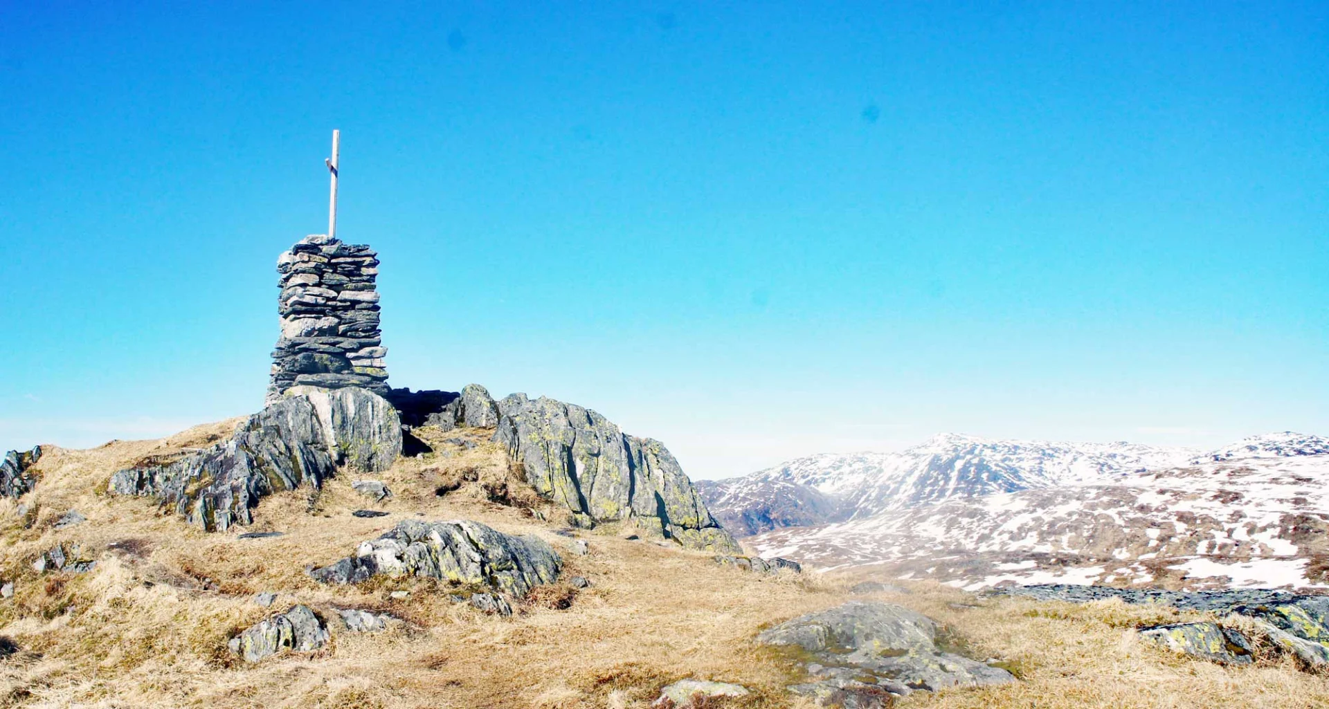
The walk begins on a gravel road past some private houses and then continues on a tractor road. Follow the road to the left up a steep hill (signposted Livarden) towards Rambjørgvatnet. Walk until the road ends and you will see a bench on the right. Here there is a sign to the left (to the west) towards Livarden and to the right (north east) towards Tverrmeisa. Follow the path straight ahead towards Tverrmeisa. It is wet in some places at the beginning before you reach the first plateau. Here the climb is steady and you follow the cairn range all the way to the top. The top cairn at Slettegga (744 m. above sea level) is located a short Distance into the mountain plateau.
Slettegga is a popular starting point for paragliding, so don't be surprised if you come across someone floating in the air above you.
There is no book at the top, but the reward is a great view of all the mountains in Hordaland that is worth seeing.
From the top you can follow the same path down or you can follow the cairn range further as shown on the map. You can always see the ridge of Nobbane which runs parallel to Slettegga. There is a path over Nobbane and down to the cabins at Bjørnastølen. There is no cairn on Nobbane and in some places the path is unclear so follow carefully.
Follow the path from Bjørastølen down to the parking lot at Bontveit.
Have a good trip!