The GPX Track is for guidance only and may contain errors. Use at your own risk.
– always check maps, weather and conditions before your trip.
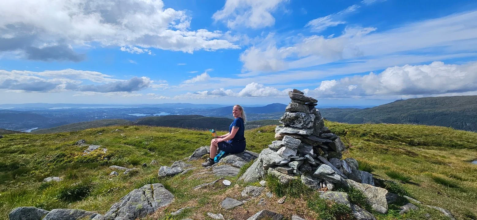
Totlandsfjellet is the neighboring mountain to Livarden. If you want a slightly easier hike than Livarden, the hike to Totlandsfjellet is an excellent alternative with equally fantastic views.
The trail is well marked, and you basically just follow the ridge of Totlandsfjellet in a northerly direction. It is a steady climb all the way, with some small ups and downs towards the end. At the top you will find a small cairn and a sign.
The best viewpoint is about 100 meters northwest of the summit. Be careful, as there are some steep cliffs below the point.
For a round trip, you can continue on the trail further north and then northeast towards Livarden. This gives you a great opportunity to explore more of the area.