The GPX Track is for guidance only and may contain errors. Use at your own risk.
– always check maps, weather and conditions before your trip.
From Nesttun drive to Midtun. At the large roundabout, turn right towards Ulsmåg. Drive past Ulsmåg school and on the left the sign 'Totland'. After approx. 100 meters, turn left at the sign 'Helldal'. Drive approx. 1 km on Dyngelandsvegen and park along the road.
Follow the gravel road sign 'Dyngelandsvegen' inwards past Dyngelandsvatnet (left side).
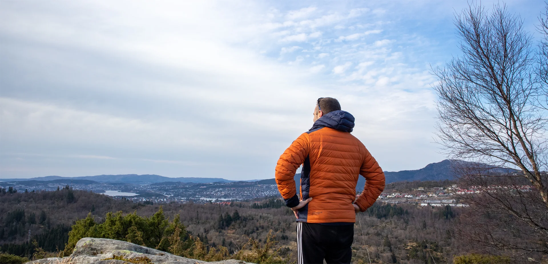
Go past the houses and turn right south through the barrier. Follow the forest road down to Myrdalsvatnet where it then turns north. Go past the bench along the long flat area until you reach a crossroads. Here you should go left. This part is marshy and the path is somewhat unclear. Follow the path as if under the high-voltage wires. Shortly after, the path turns in a curve to the right and goes north. Now it becomes clearer and you follow the ridge up towards the viewpoint at Hånuken. The climb is steady and the path is good. Up at the top there is a nice view of Fana and nearby mountains.
Follow the path further along the ridge northwards. It first leads down to the right at the back of the ridge and then back to the left. At this point the path is unclear. But if you follow the path northwards you will quickly come onto a clear path. Now just follow the path that crisscrosses the ridge towards the highest point on Furekampane. It is quite overgrown in most places, but occasionally you get a nice view.
The descent from the top offers a view of Grimevatnet. When you get under the high-voltage power line, follow the path to the right. Go down the steep section that leads down to the stream that flows into the water. Then follow the path back south on the right side of the water. Continue on the right side of Langavatnet. Now the path improves and leads over marshes and puddles. The path is good and you walk on the right side the whole time. When you get to the white bench, the path turns into a forest road. Follow the forest road south to the crossroads. You have now walked a loop. Return the same way you arrived.
Have a good trip!