
Flåfjellet (418 m) from Myrdalsvannet
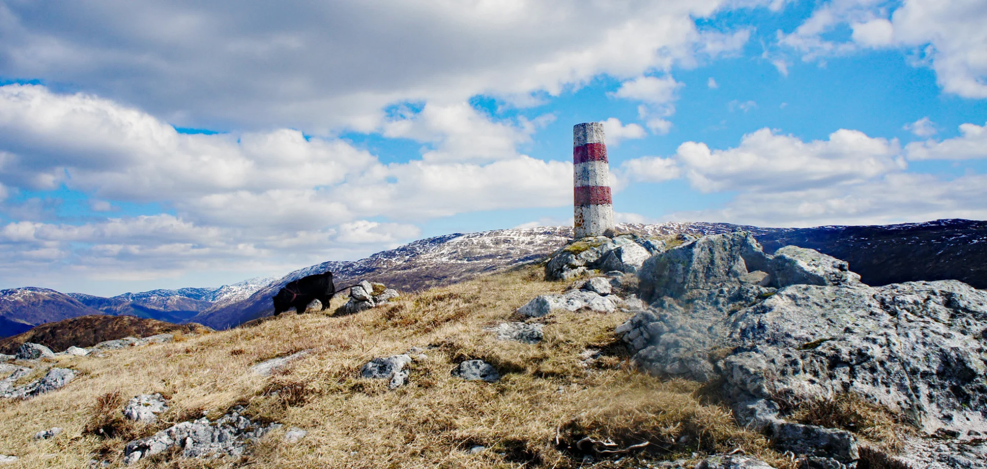
Flåfjellet (418 moh) fra Myrdalsvannet
Photo: Admin

The GPX Track is for guidance only and may contain errors. Use at your own risk.
– always check maps, weather and conditions before your trip.

Access

From Nesttun you drive in the direction of Totland. There is free parking along Myrdalsvannet in lower Totland/Dyngeland.

Parking

Free parking along Myrdalsvannet. The parking lot is often full as this is a popular hiking area, so it may be worth arriving early.

Description

Stordalsfjellet and Flåfjellet are perhaps the most beautiful peaks in Fana, but few people know about them.  

The hike begins on a gravel road along Myrdalsvannet. After about 2 km. you turn off on the path to the right and follow it up towards Stordalsfjellet. When you have gotten a little higher in altitude you will see that most of the vegetation is gone. This is due to the forest fire in 2003. From here the trail is marked with small cairns all the way up to the top. You then go down past Fjellklovevatnet. It is recommended to walk past the water on the right side (opposite the route shown on the map). Then you come up to the plateau of Flåfjellet. The trail here is bad, but it is marked with small cairns up to the top cairn on Flåfjellet.  

Here you get a great view of Fana, Livarden, Totlandsfjellet, Ulriken, Løvstakken and south towards Os and Møsnuken. There is no book at the top.

Have a good trip!

Information

Summary.
Stordalsfjellet (376 m.)
Flåfjellet (418 m. above sea level)
Length: approx. 8 km round trip
Time: about 2-3 hours round trip
Season: All year round. Some steep sections. Slippery/slippery in some places.
Grading: Medium

Processing elevation data.. .

You use GPX files that you download from our server 100% at your own risk.

Accommodation nearby

Hiking nearby