
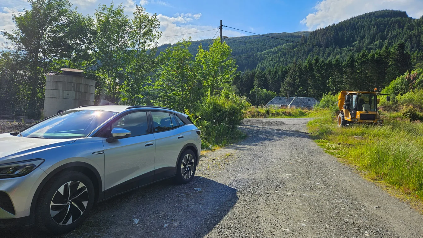
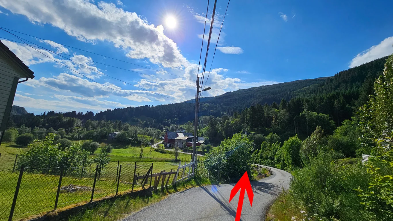
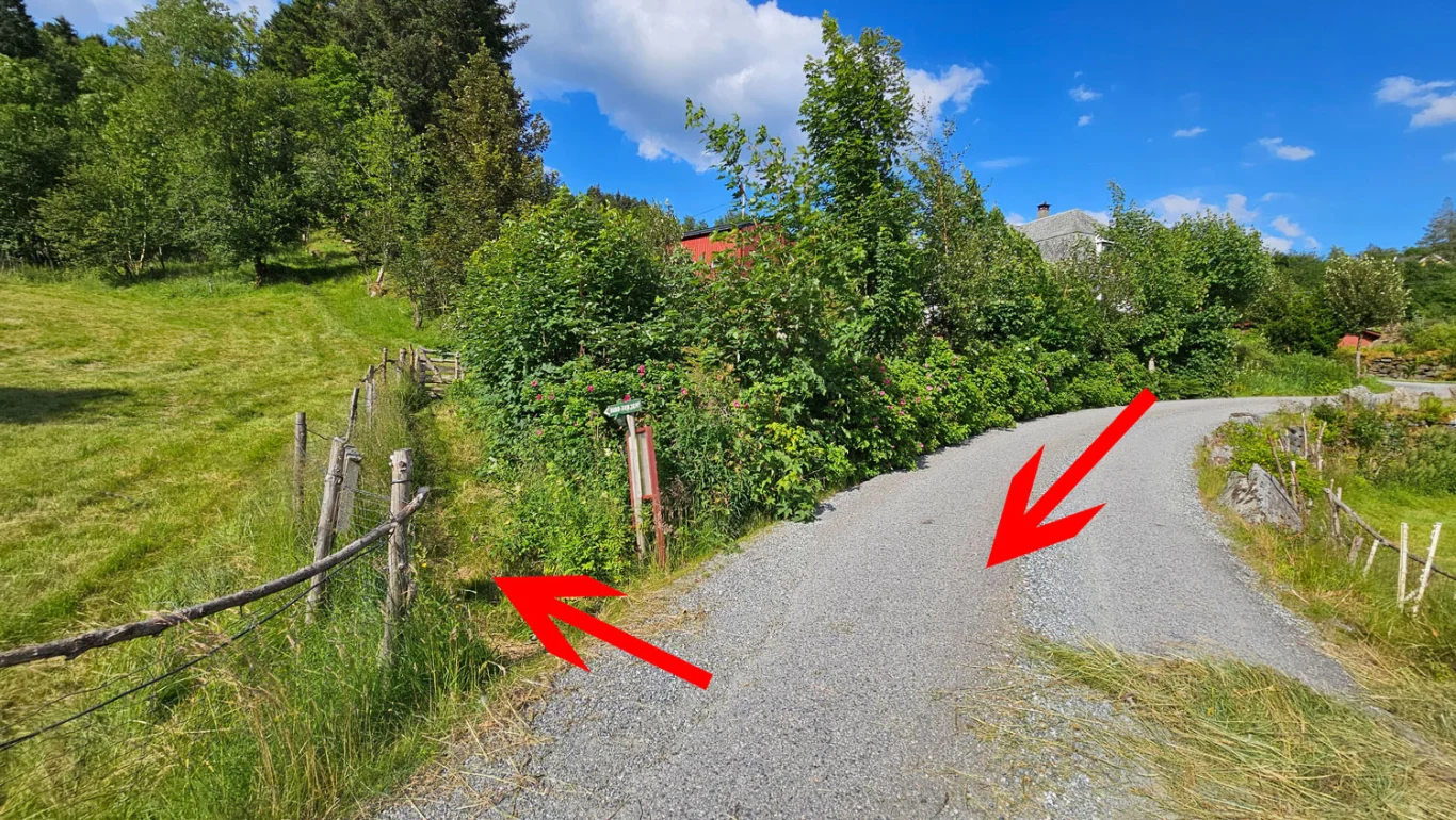
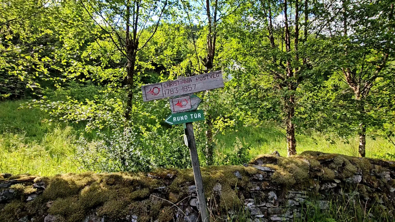
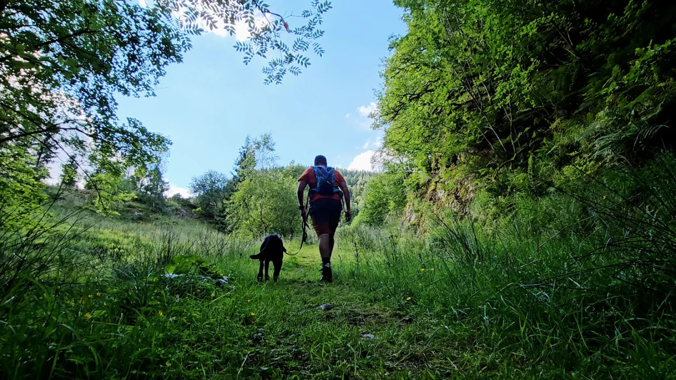
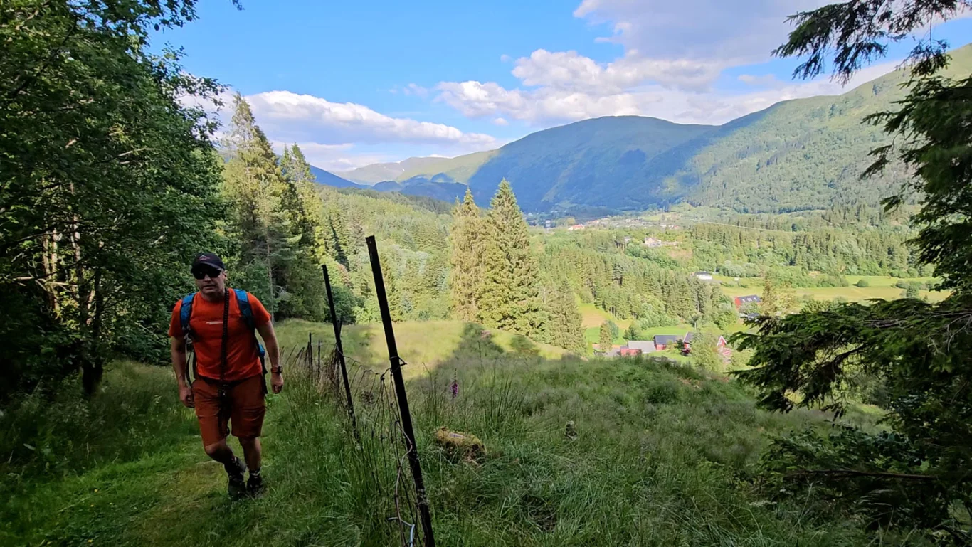
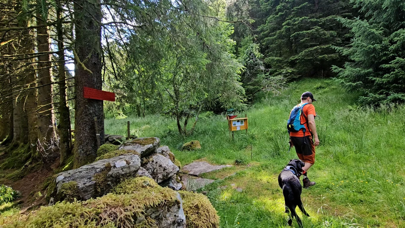
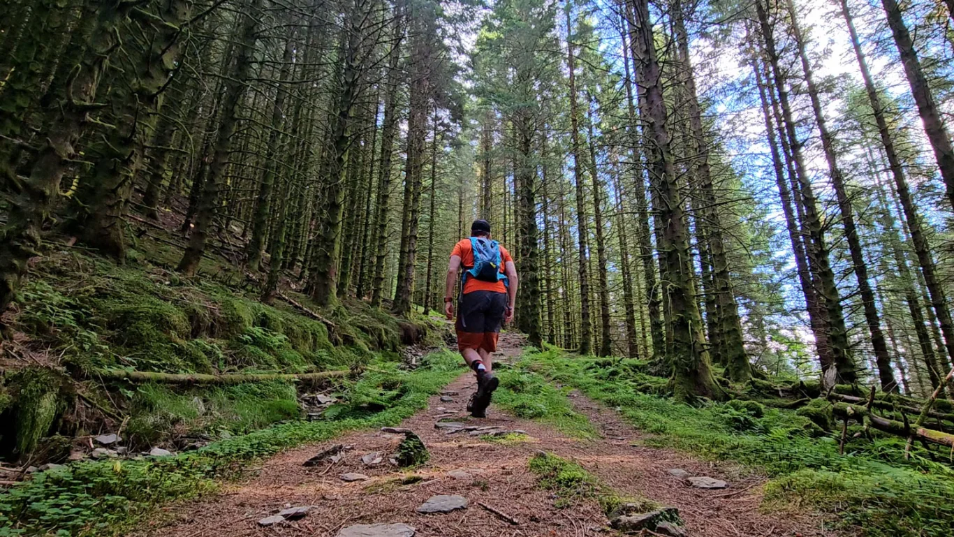
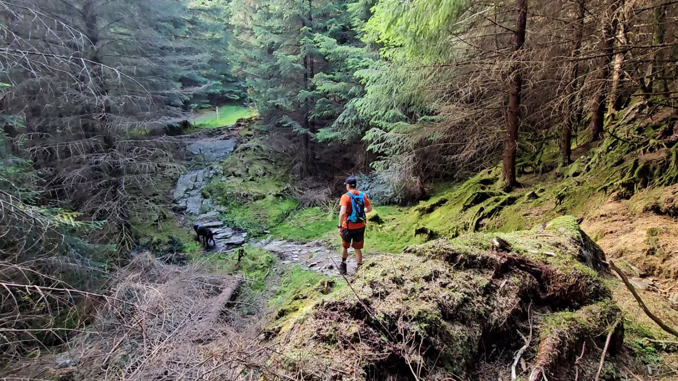
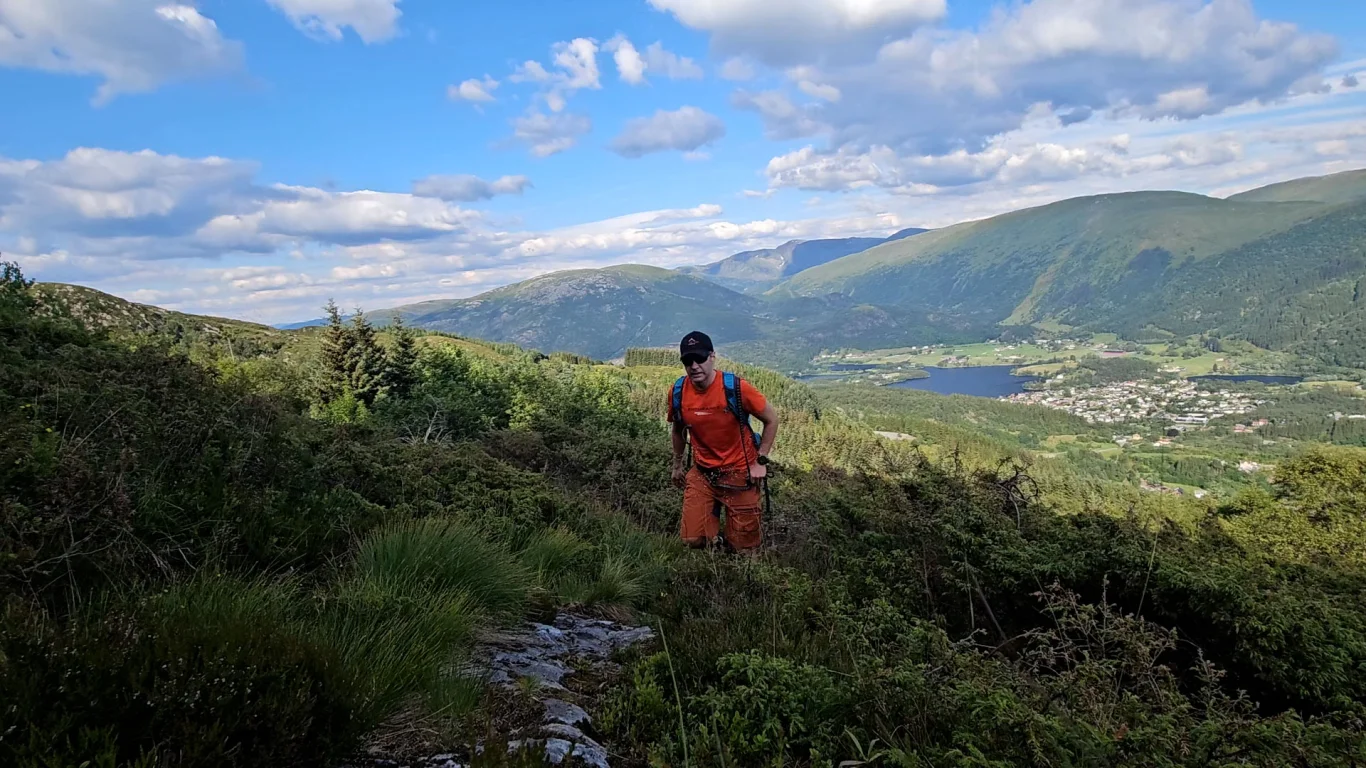
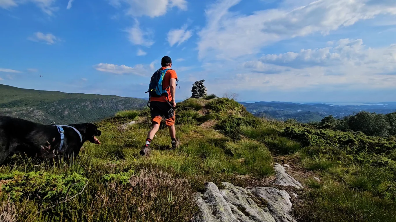
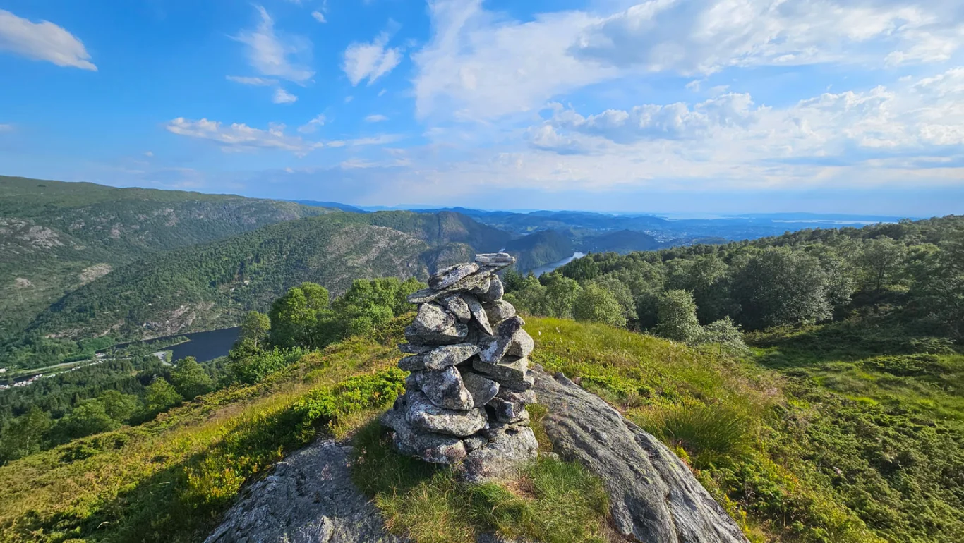
Mountain hike to Erdalsvarden (458 m) from Arna
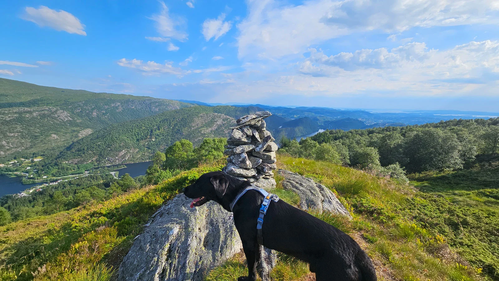
Fjelltur til Erdalsvarden (458 moh) fra Arna
Photo: Admin

The GPX Track is for guidance only and may contain errors. Use at your own risk.
– always check maps, weather and conditions before your trip.

Access

Approximately 25 minutes (18.5 km) drive from Bergen.

Parking

Parking in the roadside on an old gravel area. Make sure you don't stand in the way of tractors etc.

Description

Erdalsvarden - A fantastic view of southern Arna!

Erdalsvarden is a viewpoint that provides a great view of the southern part of Arna, including Grimen, Brattland and Espeland.

This route starts at the farms Øvre and Nedre Brattland. From the parking lot by the gravel area, go to Brattlandsvegen and follow it down the hill to the left. At the bottom of the hill you will find a sign, and the path starts on the right. Follow the path through the gate and up through the forest until you reach another gate. Now you enter a forest road. Follow the forest road that winds up the mountainside past pastures.

A little way up the slope you will come to a large crossroads with many signs. Here you should go right, signposted 'Ulriken'. Continue on the new path up through the forest and then through a spruce forest.

Further up the slope you go through the gate with the sign 'Ulriken'. Follow the path across the open bog to the Next crossroads. Here you should go left; the path on the right leads up towards the plateau. Continue on the path that turns southwest. Soon you will come out of the forest and get a fantastic view. Follow the path further until you reach Erdalsvarden.

Return the same way! 🌲

Information

Length: Approximately 5 km round trip
Tid: Ca. 2. timer  tur/retur
Elevation gain: 378 meters
Season: All year round
Grading: Simple

Processing elevation data.. .

You use GPX files that you download from our server 100% at your own risk.

Accommodation nearby

Hiking nearby