The GPX track is indicative only and may contain errors. Use is at your own risk
- always check the map, weather and conditions before your trip.
The expanse from Ulriken to Fløyen. Vidden i Bergen is a classic mountain hike and perhaps the most popular mountain hike in the Byfjellene.
The expanse from Ulriken to Fløyen
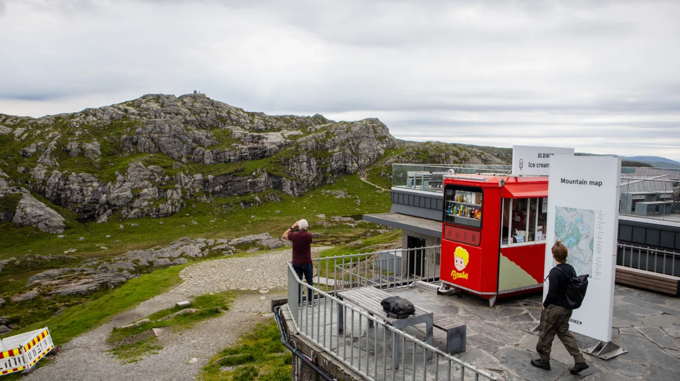
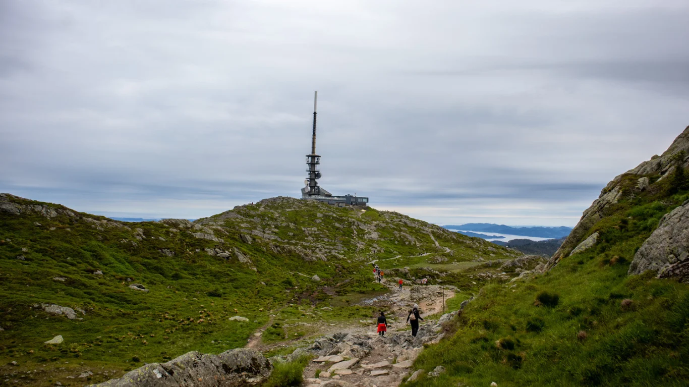
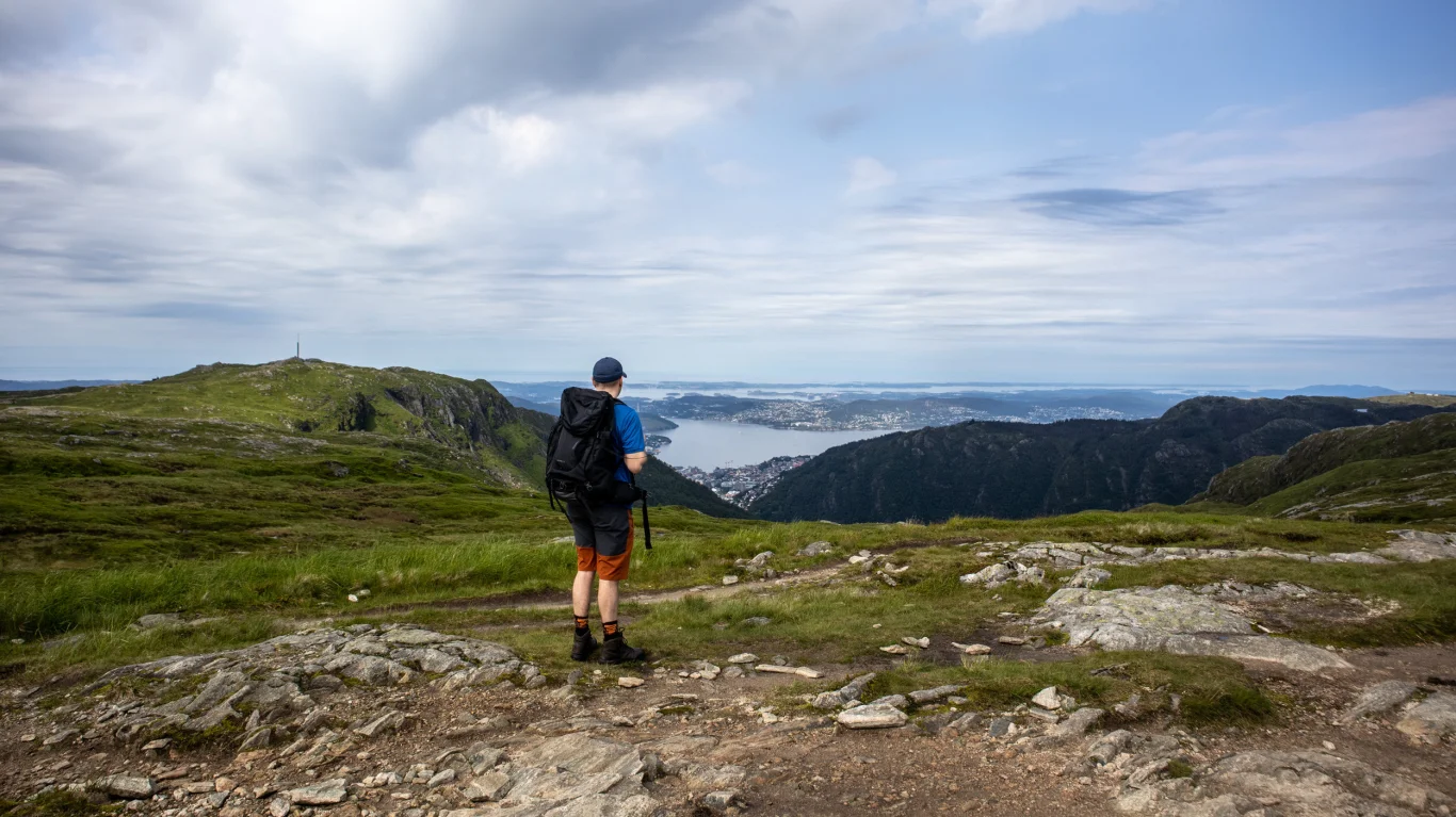
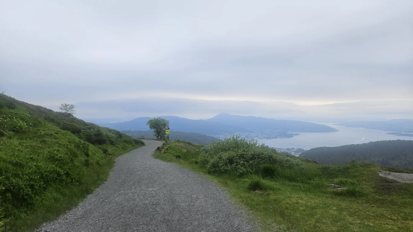
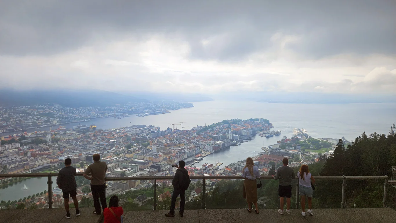
The tour starts from Bergen's highest city mountain, Ulriken at 643 m above sea level, over the open mountain plateau Vidden and on towards Rundemanen and Fløyen. Along the way, you get a great view of Bergen, the Byfjorden, the archipelago outside the city and the surrounding mountains. Most people choose to start the trip at Ulriken and go towards Fløyen. This is a good direction because you start high and have a natural finish near the center of Bergen.
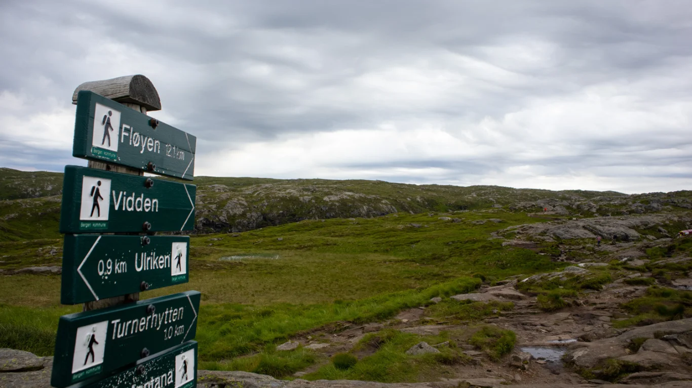
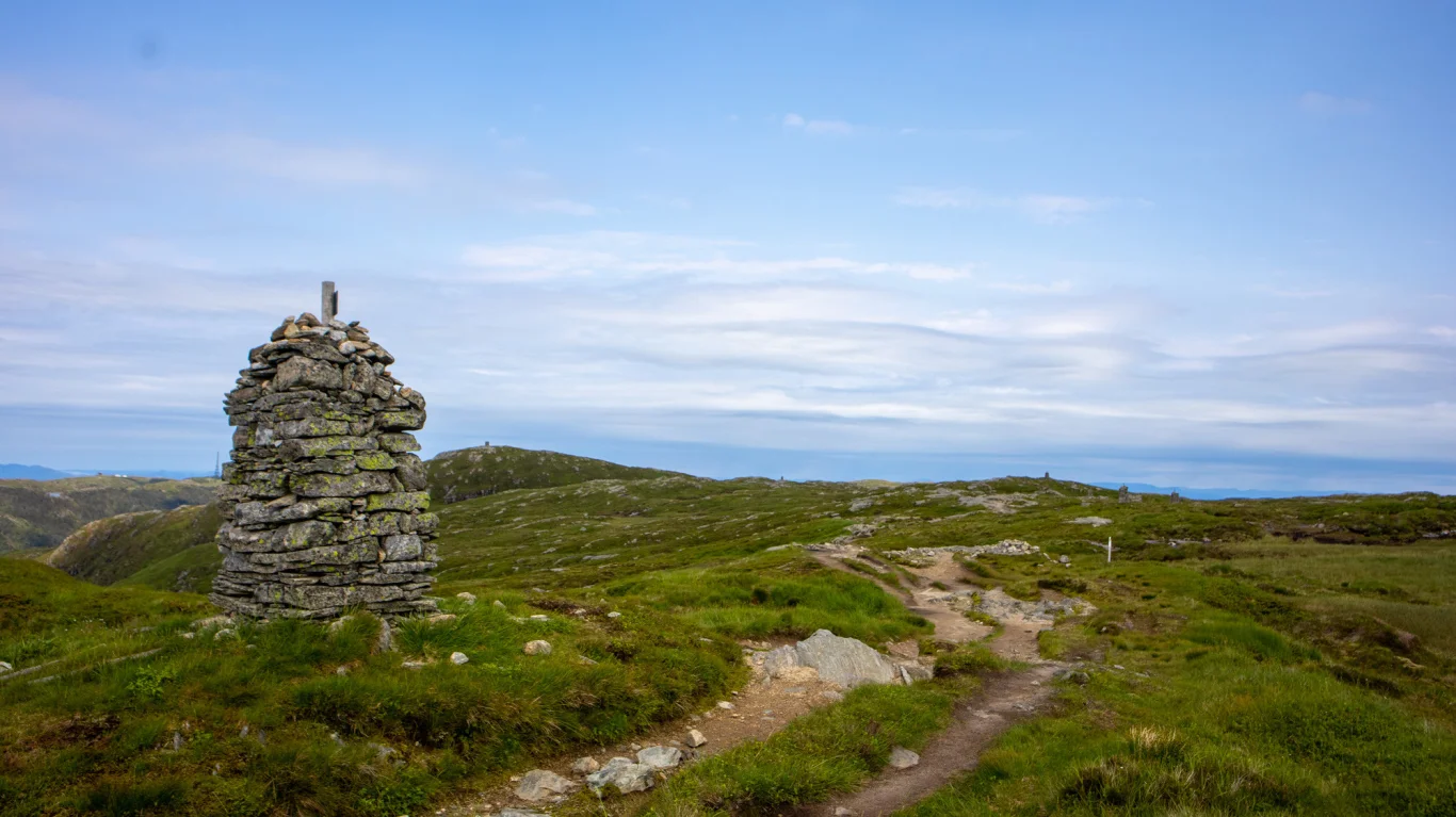
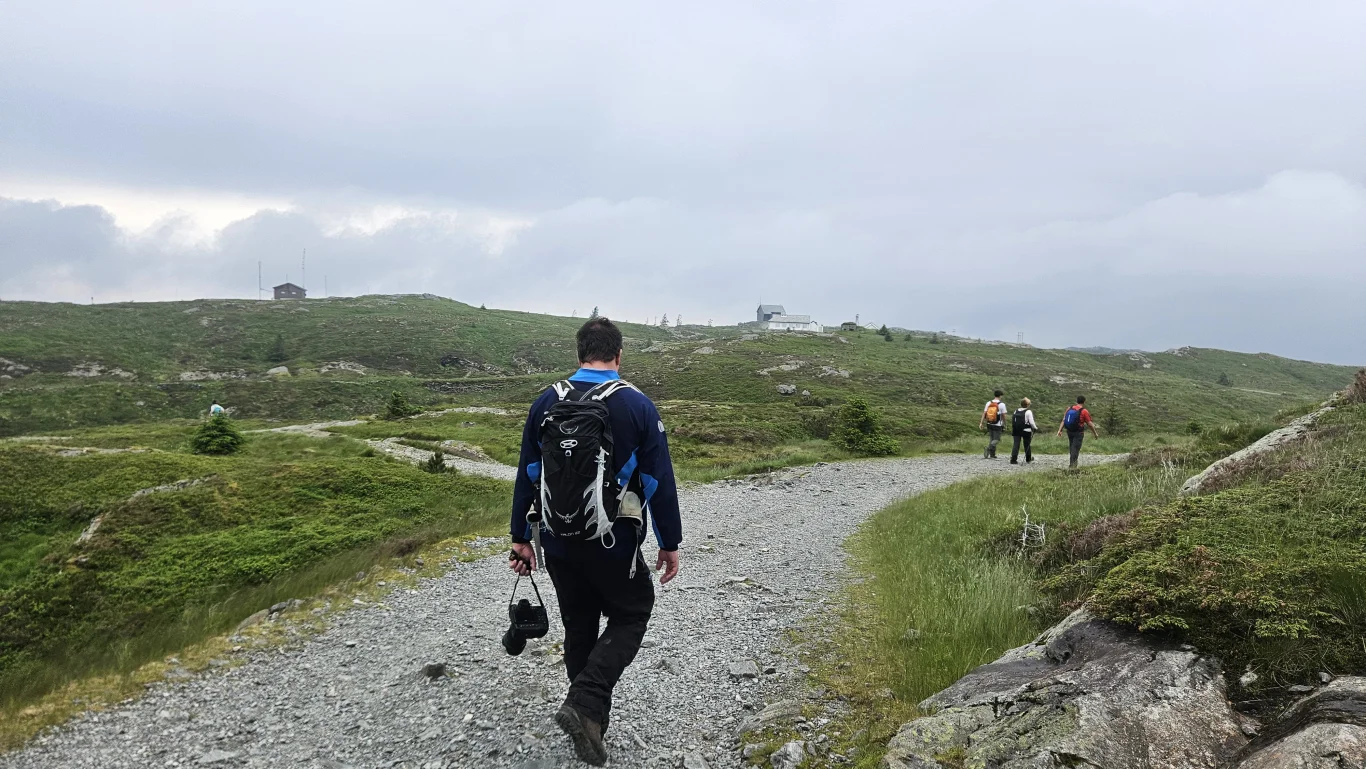
The route over Vidden
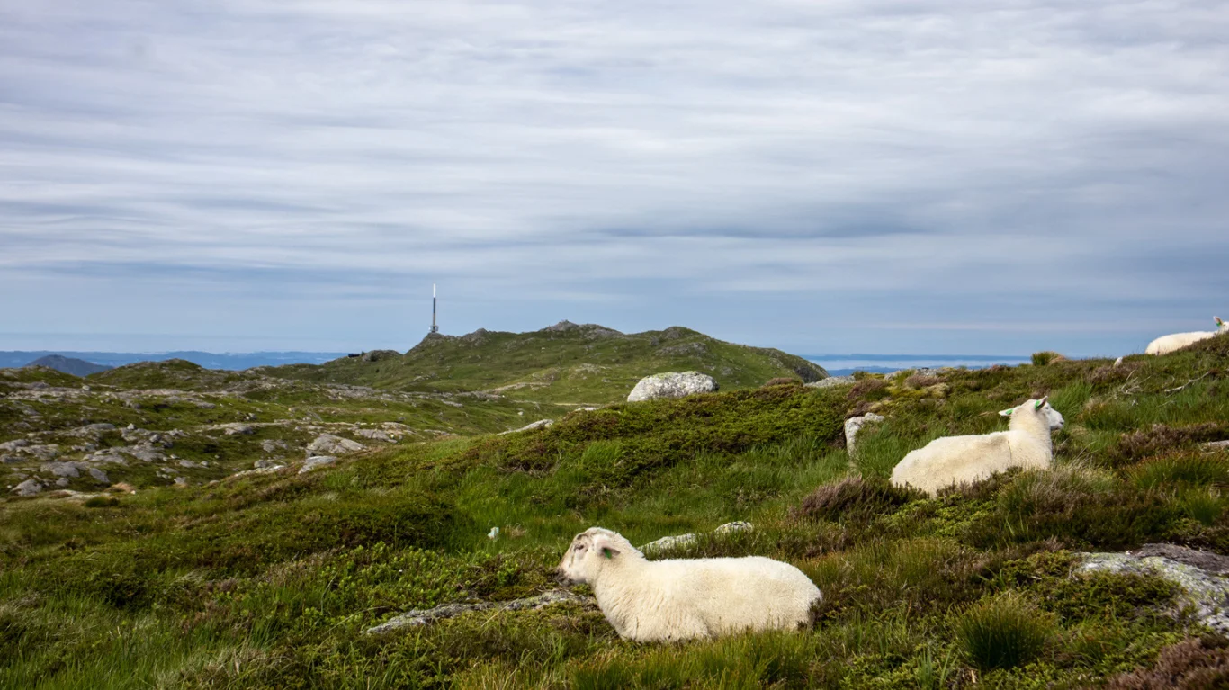
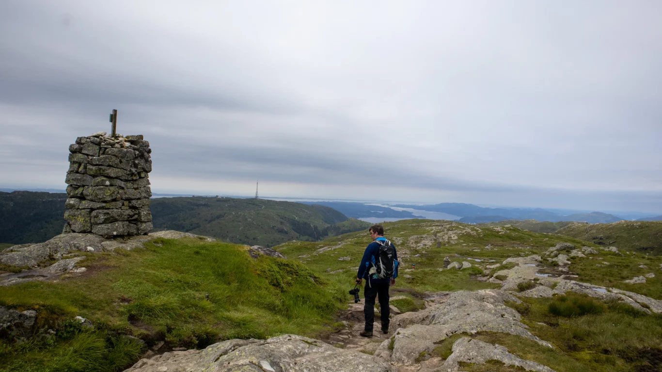
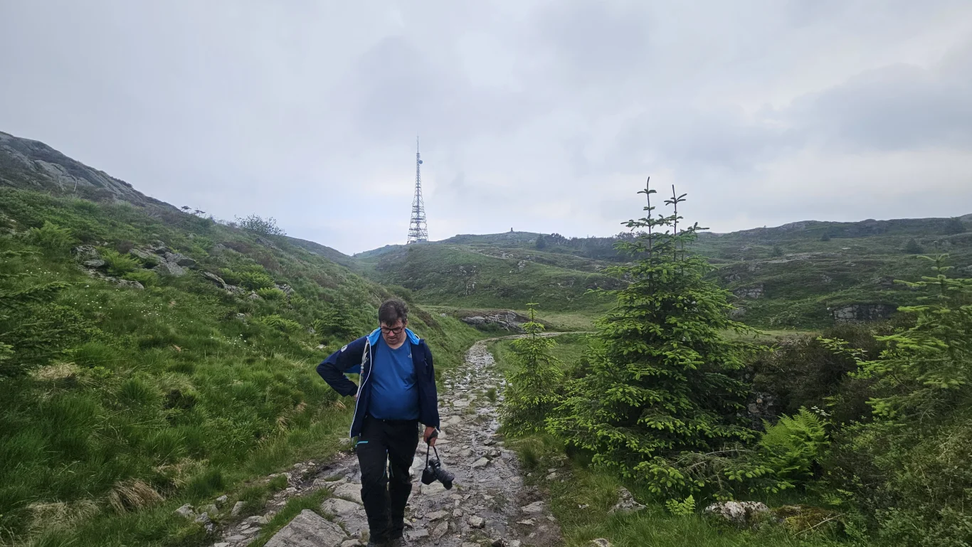
From the top of Ulriken, you follow the signposted and marked path towards Vidden and Fløyen. The terrain is open, rocky and slightly hilly, but the path is clear and well marked with cairns and red T-marks. Although the trip is often described as flat, the route runs through real mountain terrain with small climbs, descents, wet sections and rock formations in some places. Good shoes are recommended. Eventually you will enter the Vidden mountain plateau itself. Here the tour goes through beautiful and open high mountain terrain, although you are still close to the center of Bergen. The view changes all the way. On clear days you can see far beyond the city, the fjord and the islands west of Bergen.
Detour to the Human Rights Watch
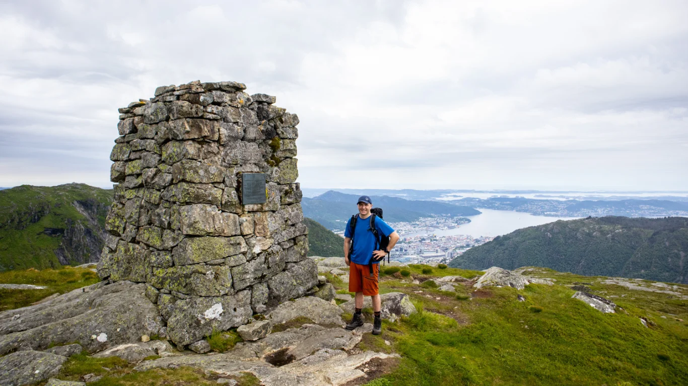
About halfway up Vidden, a short detour to the Human Rights Guard at Storhaugen/Storfjellet, 662 m above sea level, is recommended. This is a great vantage point slightly off the main trail, and definitely worth the little extra trip. Here you get a panoramic view of Bergen, Byfjorden, Ulriken, Rundemanen and the open wide landscape around you. The detour is well suited as a natural stop for a lunch break or photos.
Borgaskaret at Vidden
The route continues towards Borgaskaret, a marked cut and one of the more characteristic parts of Vidden. Borgaskaret lies approximately halfway between Ulriken and Fløyen and has historically been an important road between Bergen and Arna. Here you notice that the terrain becomes more hilly. The path descends into the gorge before rising again on the other side. On wet roads, some parts can be slippery, so take it easy and follow the markings.
From Rundemanen to Fløyen
After Borgaskaret, the trip continues over the mountain plateau towards Jordalskaret, Øvre Jordalsvann and the area towards Rundemanen. Over time, the surface gradually changes from a narrow mountain path to a better path and dirt road. The last part towards Fløyen goes on easier terrain, including via Rundemanen and further down towards Brushytten. This is a nice end to the trip, and if Brushytten is open, it can be a pleasant stop before the last leg to Fløyen.
The cable car or walk down to the center of Bergen
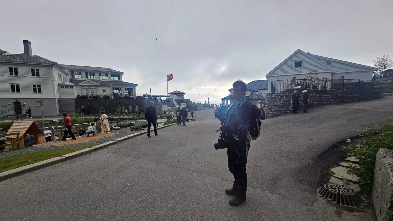
When you get to Fløyen, you are almost back in the center of Bergen. Here you can choose to take the Fløibanen down, or go down to the center on foot. The trip down from Fløyen usually takes around 45 minutes, depending on your pace and which route you choose. The roller coaster is a good alternative if your legs are tired after the trip over Vidden.
Practical information about the trip
The trip from Ulriken to Fløyen is approx. 14 km and usually takes around 5 hours, depending on pace, breaks, weather and road conditions. Expect more time if you go Opstemten first or take the detour to the Human Rights Watch. Although this is a popular and well-marked walk, it is in open mountain terrain. Check the weather forecast before starting, bring extra clothes, food, drink and a map/GPS, and be prepared that the weather can change quickly at Vidden.