The GPX Track is for guidance only and may contain errors. Use at your own risk.
– always check maps, weather and conditions before your trip.
The tour starts from the lower station of the Fløibanen funicular. Follow the road up to the Skansen fire station and further up Fjellveien.
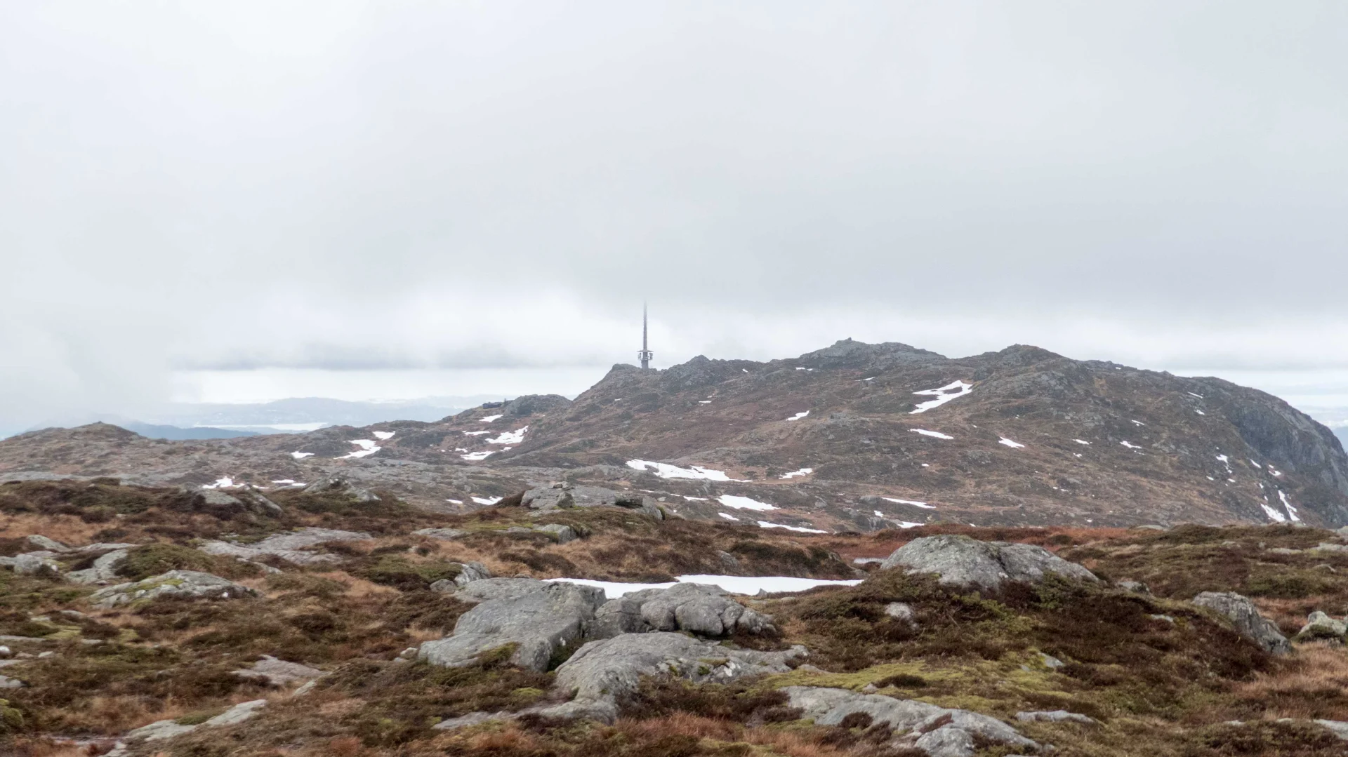
Over on the gravel road up Tippetue and then past Fløyen to Brushytten. Here it is possible to buy waffles, chocolate, chips, coffee and the like on weekends and weekdays during the summer season. Continue on the paved road up towards Rundemannen. Here you get a fantastic panoramic view of all of Bergen and the surrounding area, and you can see how the plateau extends all the way to Ulriken's peak.
Continue past Rundemannen down along Tarlebøveien until you reach the information board and turn left. Now the actual hike to the plateau begins. After about 1 km. you will come to Øvre Jordalsvannet and here a climb of about 100 meters in altitude begins. Further on, there is a steep climb over the plateau, which makes the hike a little harder than if you go from Ulriken towards Fløyen.
Fremme ved Ulriken er det flere muligheter for nedstigningen. Enten ta banen ned eller gå sherpatrappene i Oppstemten.
Den vanligste ruten over Vidden i Bergen går fra Ulriken til Fløyen