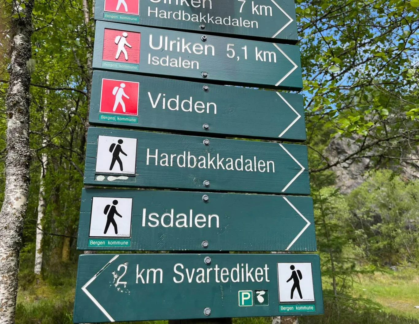
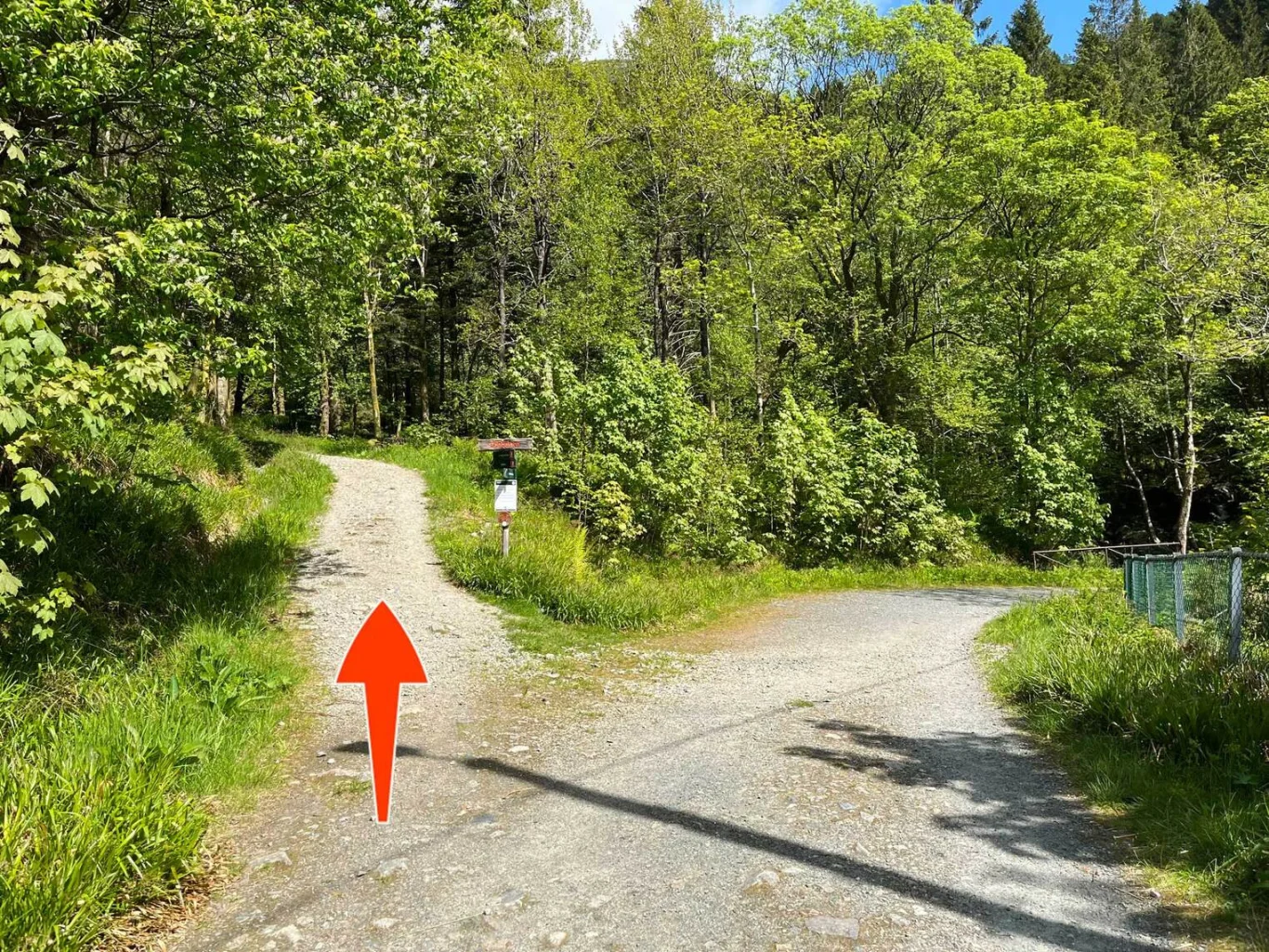
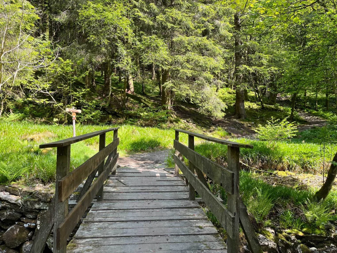
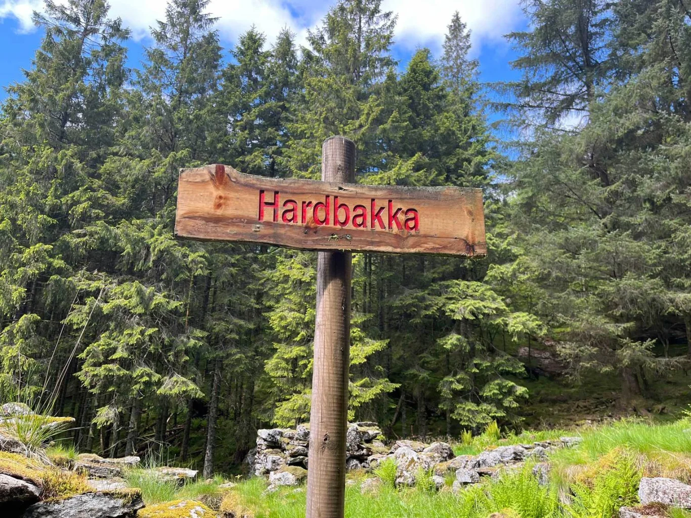
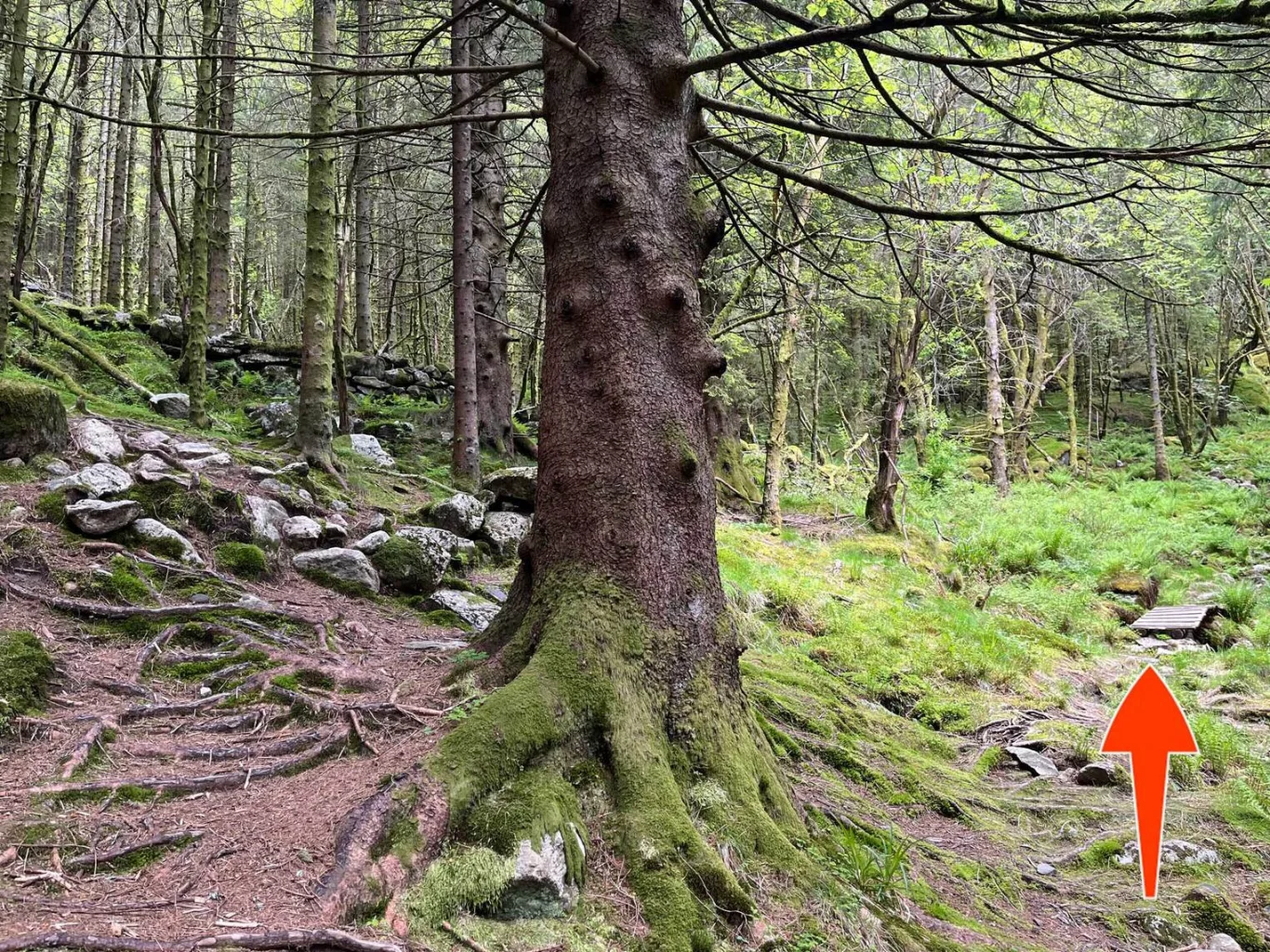
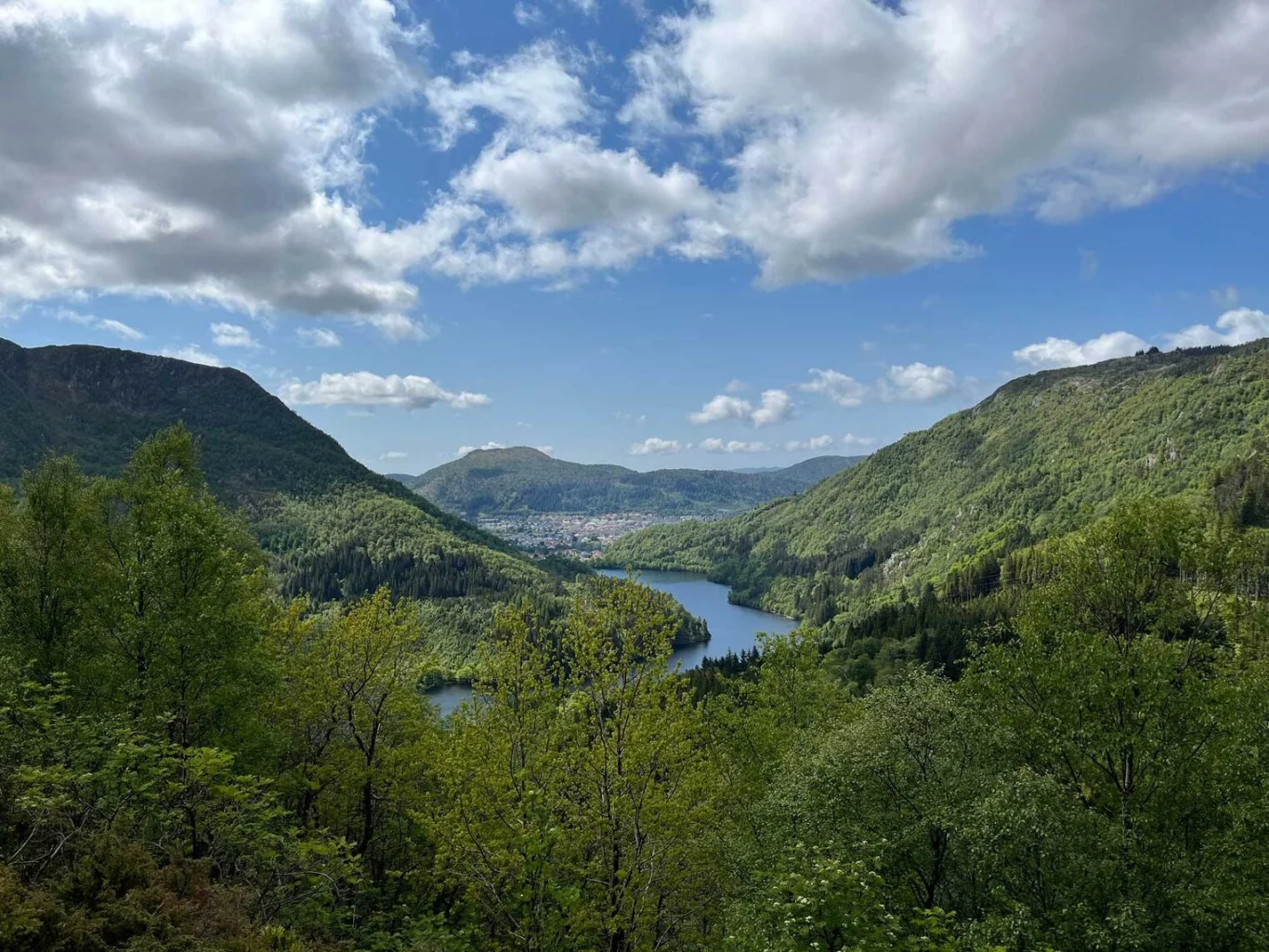
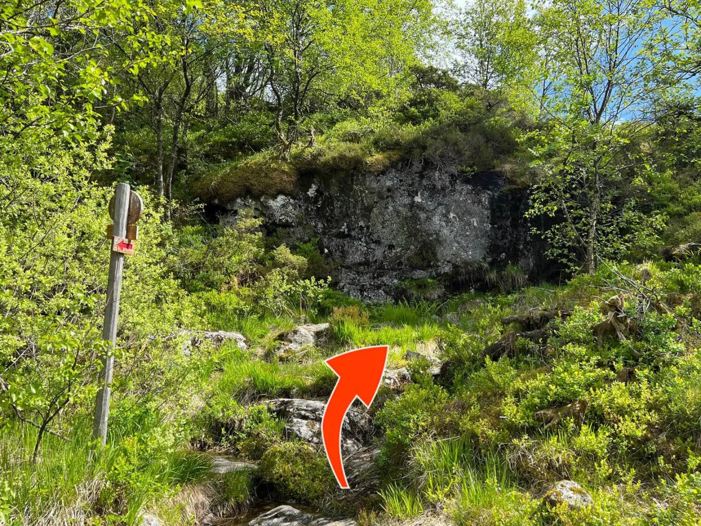
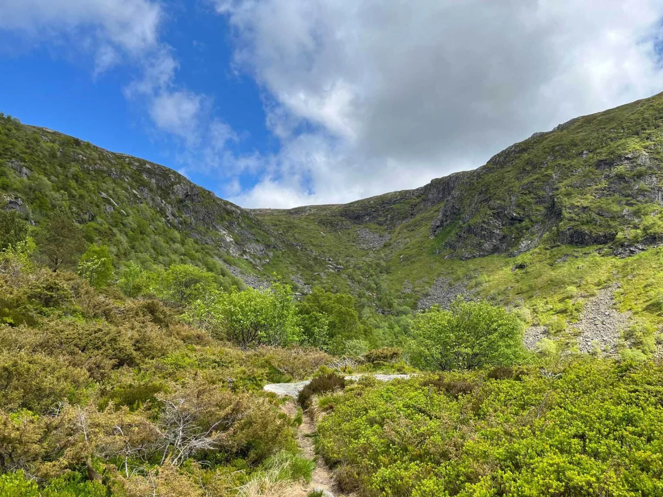
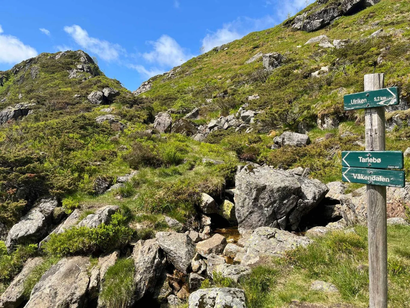
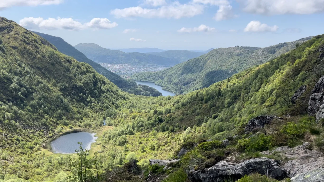
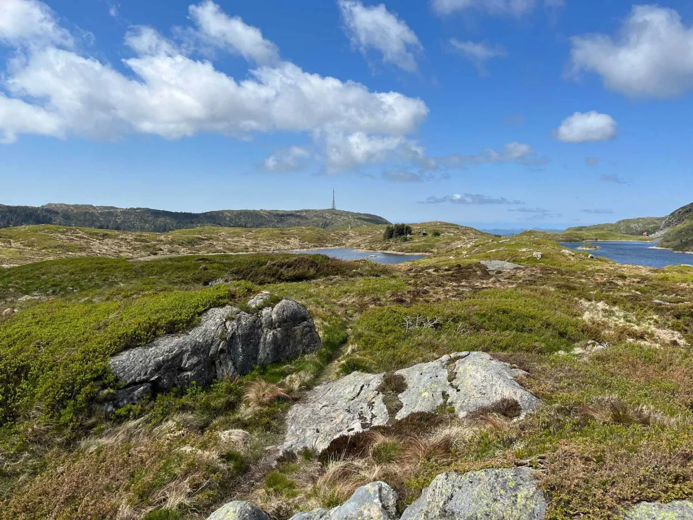
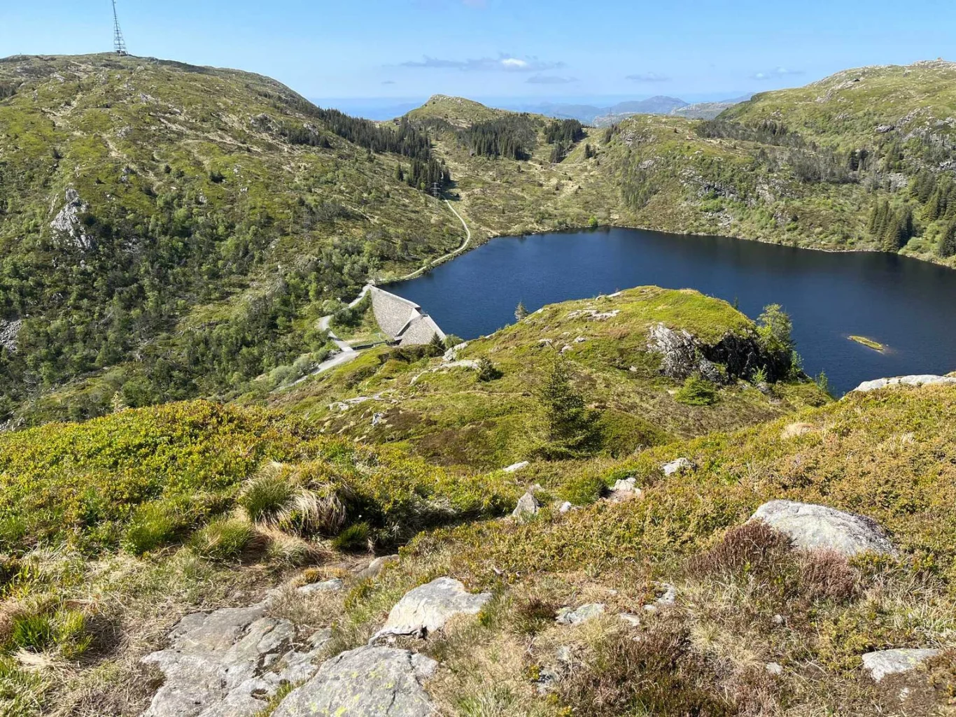
Hiking through Hardbakka Valley
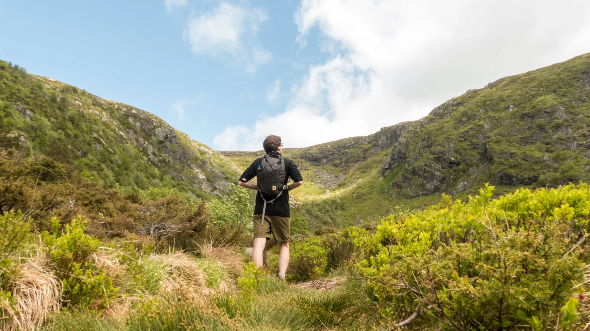
Photo: Stian B.


Processing elevation data.. .
You use GPX files that you download from our server 100% at your own risk.
Accommodation nearby


Hiking nearby

Hot
Distance
0.69 Km


Featured
Distance
1.77 Km


